- Brief description
-
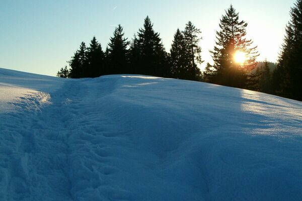
Enjoy a fantastic winter hike with your family.
- Difficulty
-
medium
- Rating
-
- Starting point
-
Bühler, station
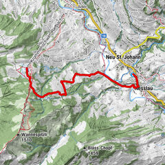
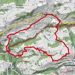
- Route
-
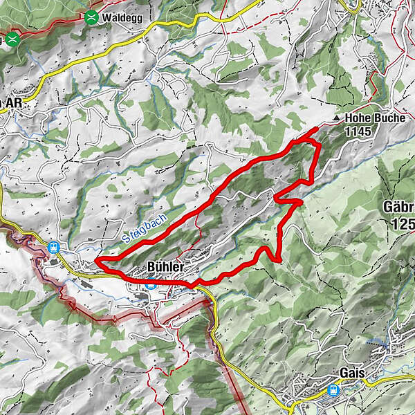
BühlerSankt Gallen (675 m)0.8 kmHohe Buche4.1 kmKriegersmühle5.8 kmWeissen6.4 kmReformierte Kirche8.4 kmKrung-Thai8.4 kmBühler (828 m)8.6 km
- Best season
-
AugSepOctNovDecJanFebMarAprMayJunJul
- Description
-
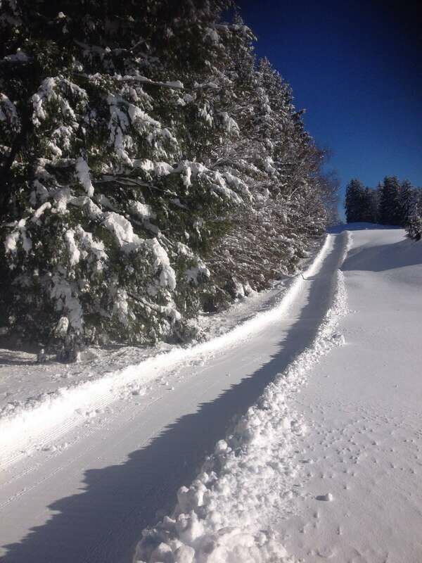
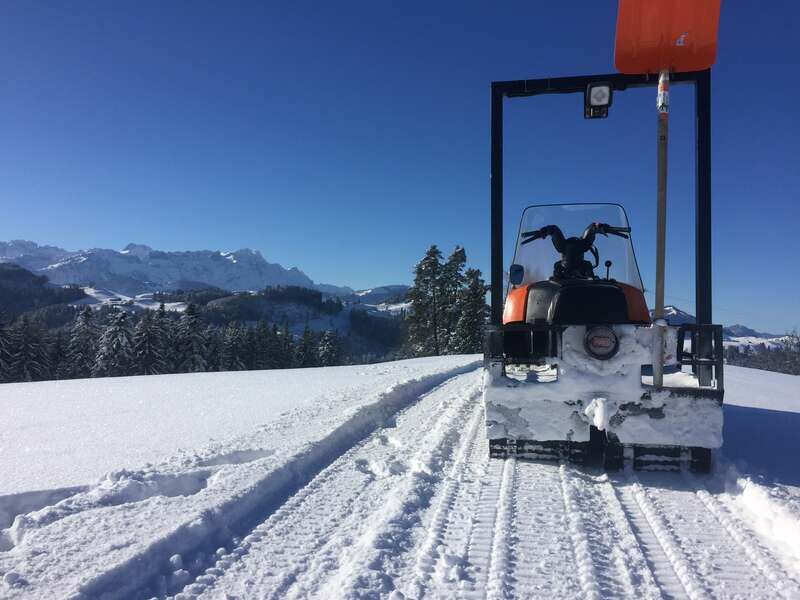
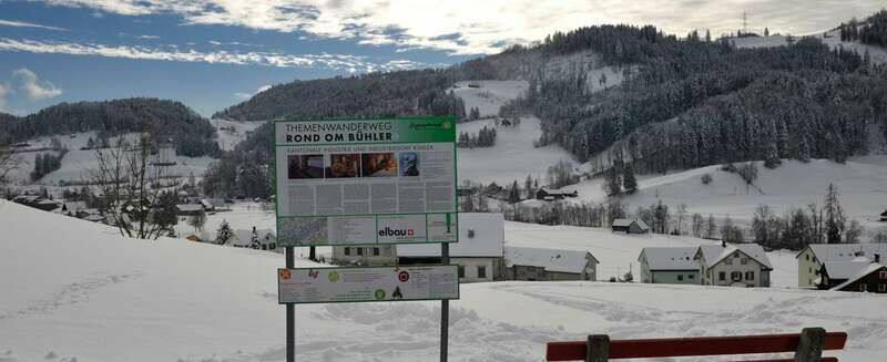
A section of the “Rond om Bühler” themed trail is cleared during the winter and well suited for families. The information panels, 12 in total, convey exciting facts about Bühler village and the Appenzellerland. The trail starts at Bühler station and leads across Hohe Buche, the highest point of this hike. The fantastic views of the Alpstein massif are an ample reward for having made the ascent. On clear days, the view even reaches as far as Lake Constance and the summits of central Switzerland. The trail then leads onwards to the Weissbach stream and Kriegersmühle. From Kriegersmühle mill, the route continues gently uphill to Steinleuten. From there, Bühler station, the starting point of this hike, comes back into view, which is now only a few minutes away. The trail is cleared and prepared from Steigbach/Bühler via Wissegg to Hohe Buche.
- Directions
-
Bühler village – Steig – Nassschwendi– Wissegg – Hohe Buche – Kriegersmühle – Steinleuten – Bühler village (cleared and prepared from Steigbach – Wissegg – Hohe Buche)
- Highest point
- 1,124 m
- Endpoint
-
Bühler, station
- Height profile
-
 © outdooractive.com
 - Equipment
-
Good footwear, hiking or trekking shoes
- Additional information
- Parking
-
Parking is available at Bühler village centre.
- Author
-
The tour Route with a view is used by outdooractive.com provided.


General info
-
Appenzellerland
94
-
Appenzell Ausserrhoden
42
-
Bühler
13