
- Brief description
-
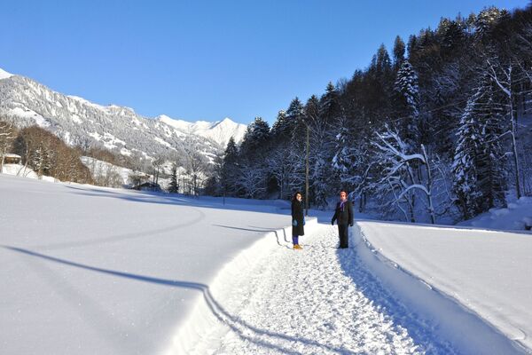
Through the snow-covered forest to the Prodkopf viewpoint. Immerse yourself in the romantic winter wonderland with breathtaking views of the Bündner Herrschaft and the Tamina valley.
- Difficulty
-
easy
- Rating
-
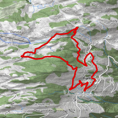
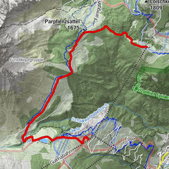
- Route
-
Gasthaus Pizol0.0 kmSwissMovePark0.1 km
- Best season
-
AugSepOctNovDecJanFebMarAprMayJunJul
- Description
-
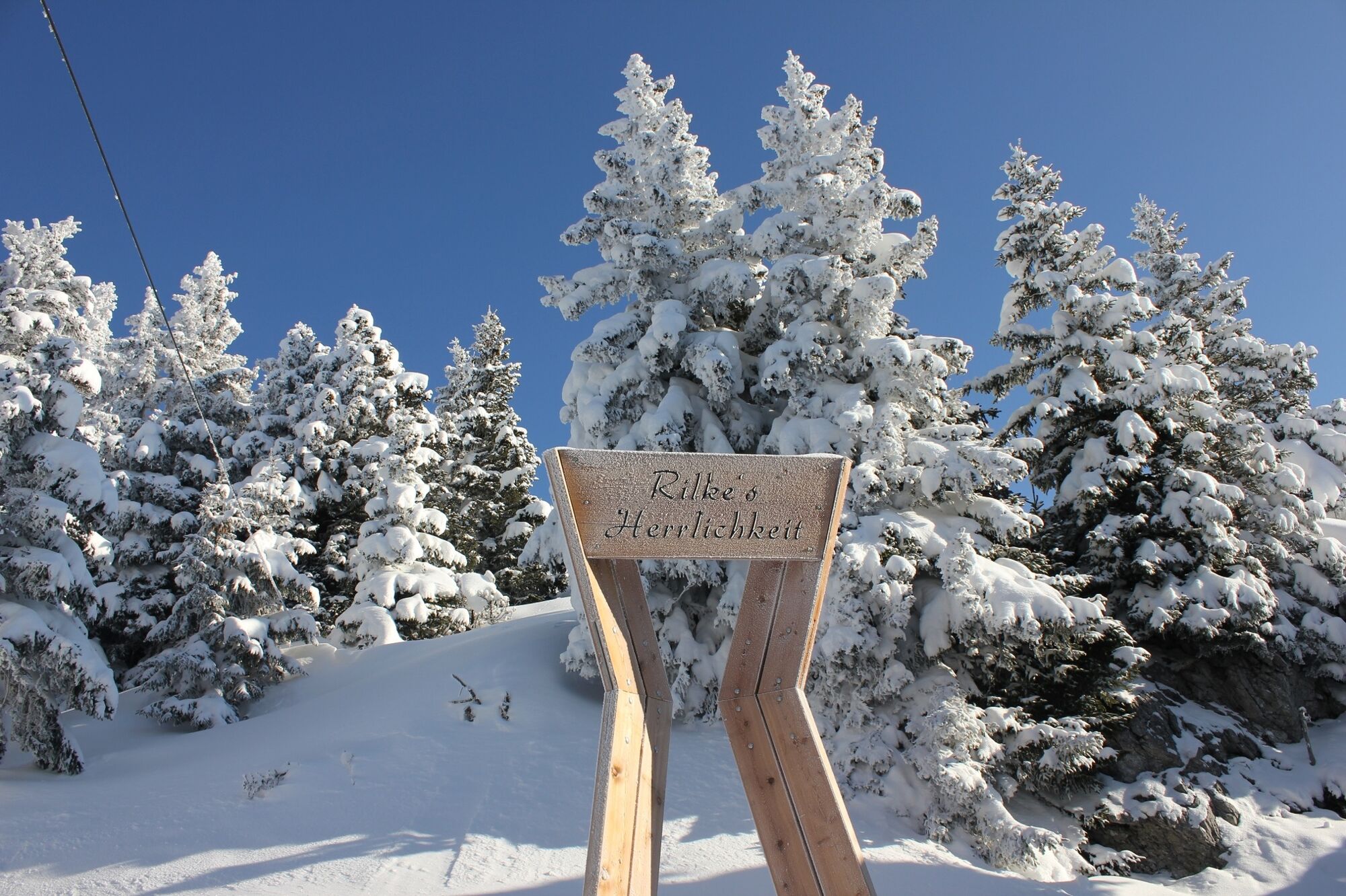
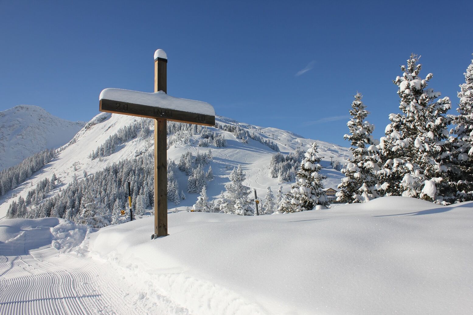
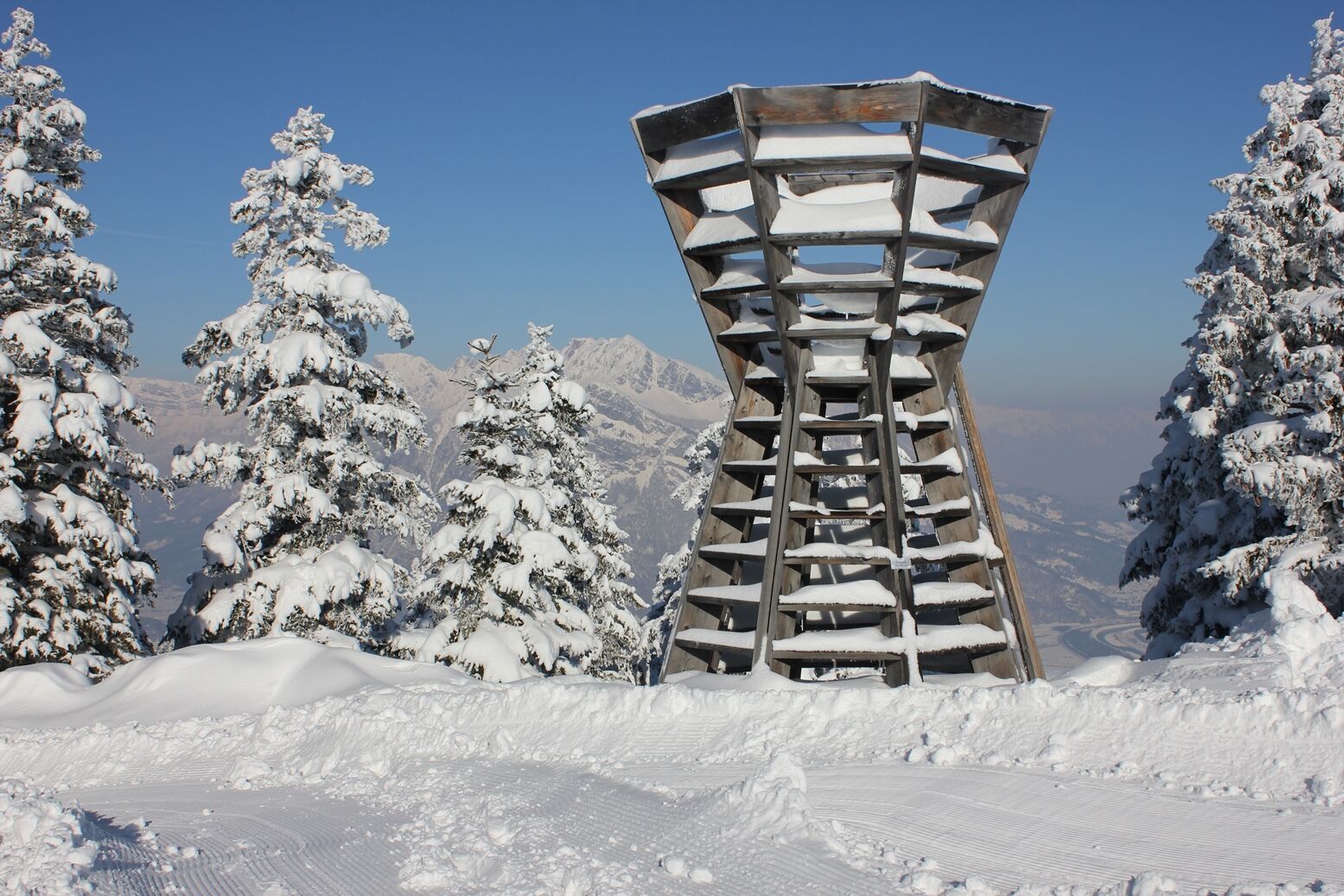
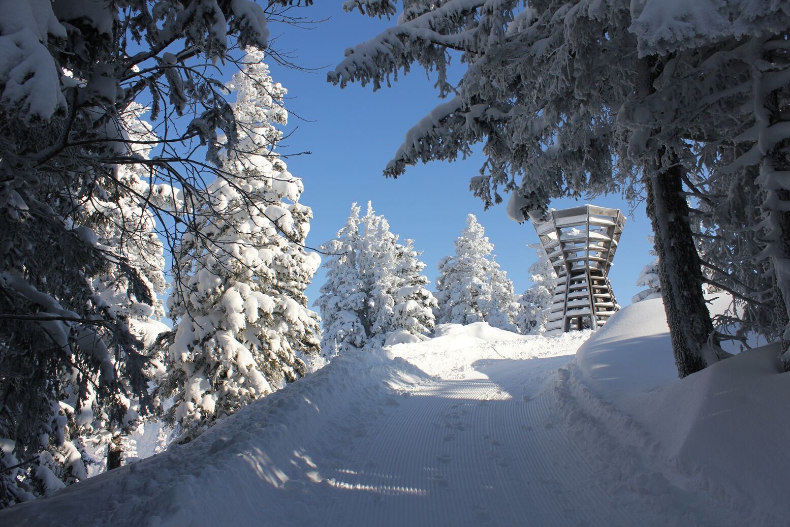
On a small hill, the Prodkopf attracts as a viewpoint with unusual "furnishing": next to the traditional alpine cross and benches, there is a romantic swing and a wooden tower by the Dutch artist Floris Brasser. The wooden tower offers an even better view of the Bündner Herrschaft and the Rhine Valley. On the plateau you enjoy a beautiful view uphill into the Tamina valley with the village of Valens, the Mapragg reservoir and the imposing Haldenstein Calanda (on the back of which lie the village of Haldenstein and the Grisons cantonal capital of Chur).
After the romantic walk through the snow-covered forest, you can enjoy one thing above all at the vantage point: the peace and quiet away from the hustle and bustle and pause for a moment.
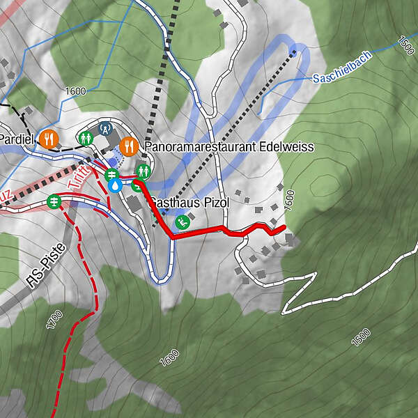
- Directions
-
The Prodkopf can be reached on foot from Pardiel in around 15 minutes. The winter hiking trail starts directly at the mountain station of the gondola lift. From there, the trail leads left along the conveyor belt and right past the ski school building, slightly downhill. With the Prodkopf warehouse on our right, we then hike up the wooded hill until we stand directly in front of the wooden tower as a vantage point. To get back to Pardiel, we return the same way we came.
- Highest point
- 1,617 m
- Endpoint
-
Pardiel, Pizol
- Height profile
-
 © outdooractive.com


- Author
-
The tour Winter Hiking Trail Prodkopf at Pizol is used by outdooractive.com provided.