- Brief description
-
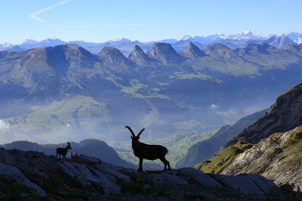
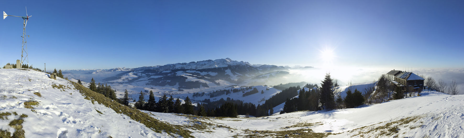
The Hundwiler Höhe is a popular hiking destination in Appenzellerland at any time of year.
- Difficulty
-
medium
- Rating
-
- Starting point
-
Zürchersmühle station
- Route
-
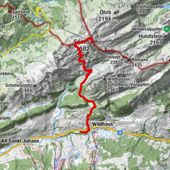
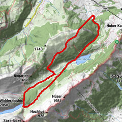
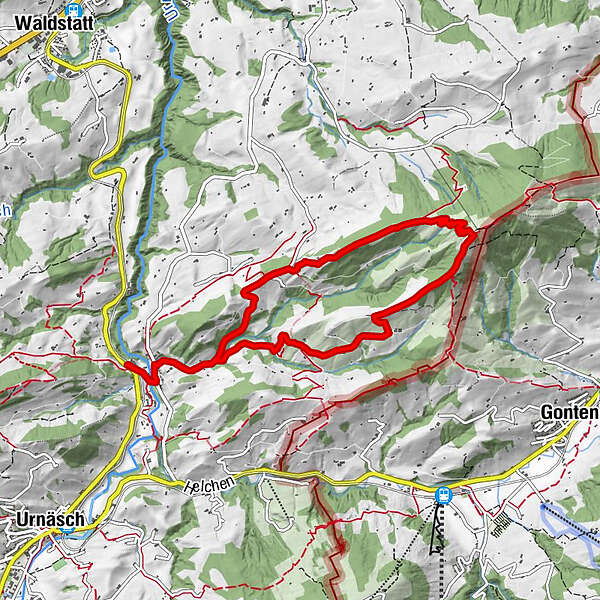
Säntisblick0.4 kmHundwiler Höhi (1,305 m)4.2 kmSäntisblick8.3 km
- Best season
-
JanFebMarAprMayJunJulAugSepOctNovDec
- Description
-
From the top of this pyramid-shaped elevation, you can enjoy wonderful views from the Alpstein massif to Lake Constance. A large section of this trail leads through a forest. Just as famous as this mountain is the restaurant at the summit, where an excellent choice of local specialities awaits hungry hikers.
- Directions
-
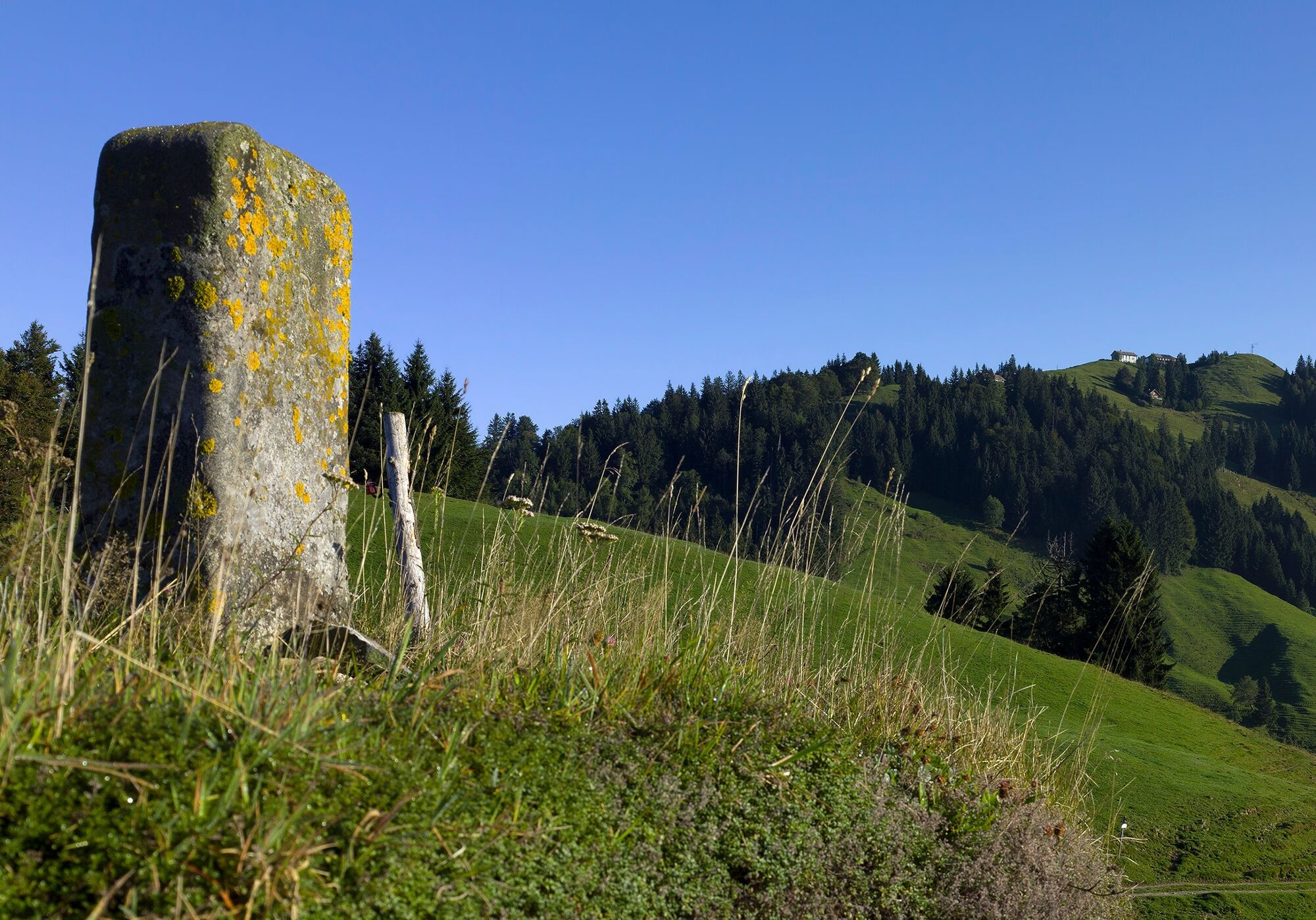
This circular trail is marked with an additional green square with the reference "Hundwiler Höhi" on the yellow hiking trail signs.
Route
Zürchersmühle – Egg – Ramsten – Müllershöhi – Hundwiler Höhi – Gigershöhi – Berg – Untere Blatten – Tobel - Zürchersmühle
- Highest point
- 1,269 m
- Endpoint
-
Zürchersmühle station
- Height profile
-
 © outdooractive.com
 - Equipment
-
Comfortable trekking or hiking shoes, clothing suitable for the weather; snow shoes are recommended in winter!
- Directions
-
Coming from St. Gallen on the B7 to the Arena, continue on the B8 to Waldstatt and turn left on the country road to Zürchersmühle.
- Public transportation
-
By train to Urnäsch/Zürchersmühle station
- Parking
-
Parking is available on the road from Zürchersmühle to Hundwil near Befang.


- Author
-
The tour Looped trail to Hundwiler Höhi is used by outdooractive.com provided.


General info
-
Appenzellerland
1956
-
Appenzell Ausserrhoden
896
-
Jakobsbad - Kronberg
335