

- Brief description
-
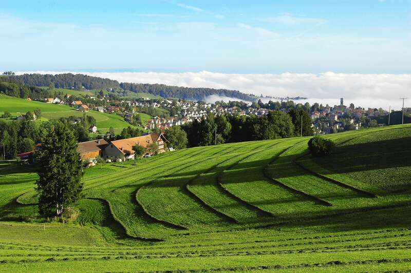
One of the most unforgettable panoramic views in the area awaits you here!
- Difficulty
-
difficult
- Rating
-
- Starting point
-
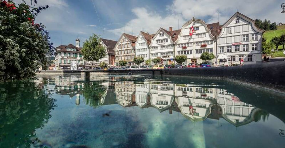
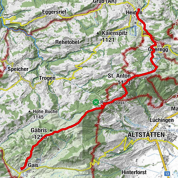
Heiden
- Route
-
Heiden0.4 kmOberegg (870 m)3.3 kmSt.Anton5.7 kmSt. Anton5.8 kmKapelle St. Anton5.8 kmSt. Anton6.0 kmSt. Anton (1,123 m)6.3 kmzum Wilden Mann7.0 kmGasthaus Landmark9.4 kmLandmark9.4 kmSuruggen10.5 kmUnterer Gäbris13.2 kmOberer Gäbris13.8 kmGais (933 m)16.4 km
- Best season
-
JanFebMarAprMayJunJulAugSepOctNovDec
- Description
-
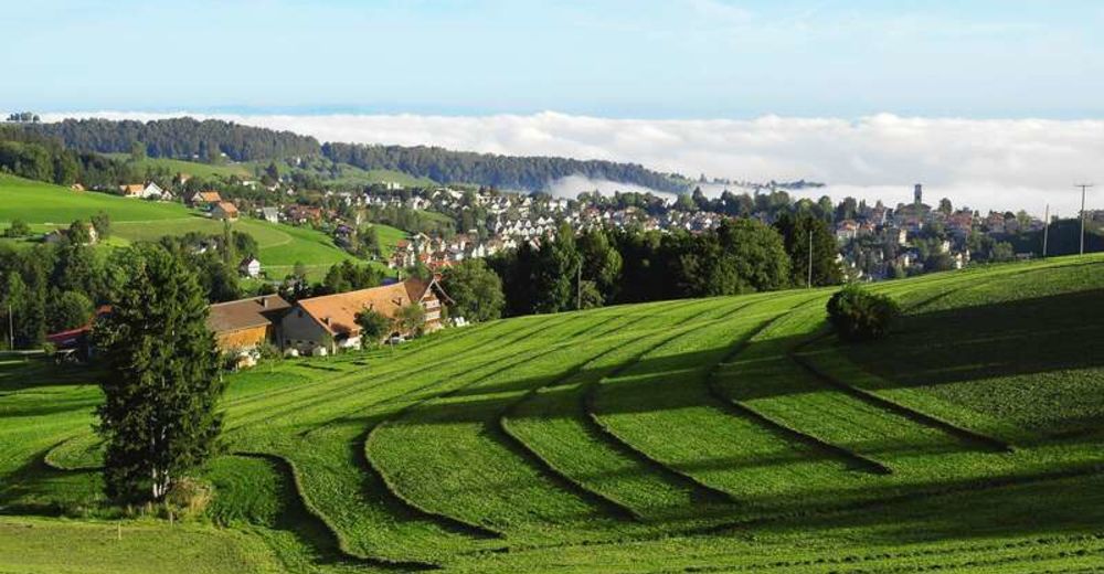
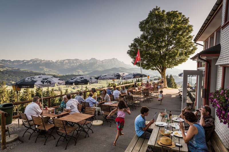
This relatively demanding tour starts in Heiden. The route leads past the public swimming pool to Oberegg and then onwards and upwards to St. Anton mountain. From here, you can enjoy wonderful views in all directions. The trail then leads to Landmark and via a quite steep ascent up Surugge to Mount Gäbris, at 1240 metres above sea level. One of the most unforgettable panoramic views in the whole region is ample reward for the hard work of getting here! The rest is a rather leisurely downward walk to Gais.
- Directions
-
Heiden (778) – Oberegg (834) – St. Anton (1‘107) – Landmark (1’003) – Gäbris (1‘240) – Gais (907)
- Highest point
- 1,239 m
- Endpoint
-
Gais
- Height profile
-
 © outdooractive.com
 - Equipment
-
Good footwear, hiking or trekking shoes
- Additional information
- Public transportation
-
by post bus to Heiden
- Parking
-
Parking is available at the reformed church in Heiden.
- Author
-
The tour From Heiden to Gais is used by outdooractive.com provided.


General info
-
St. Gallen - Bodensee
2067
-
St. Gallen und Umgebung
726
-
Wald AR
233


