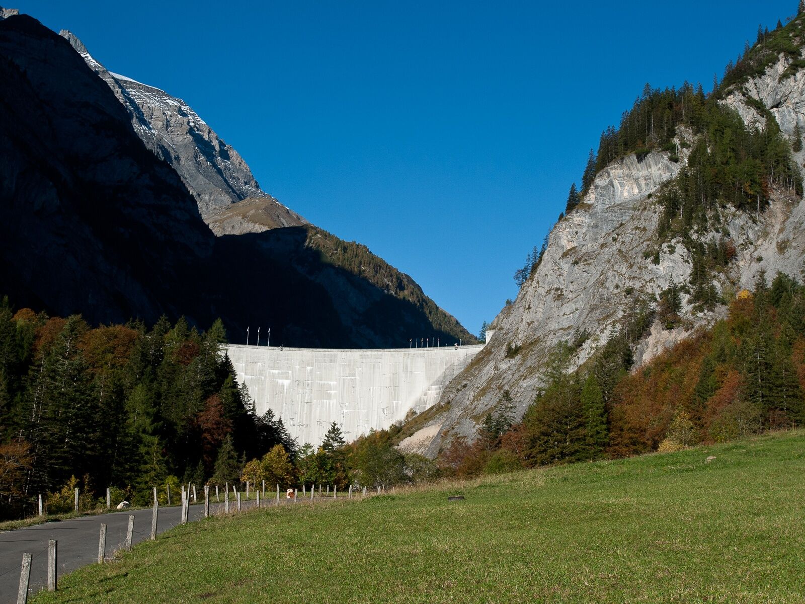
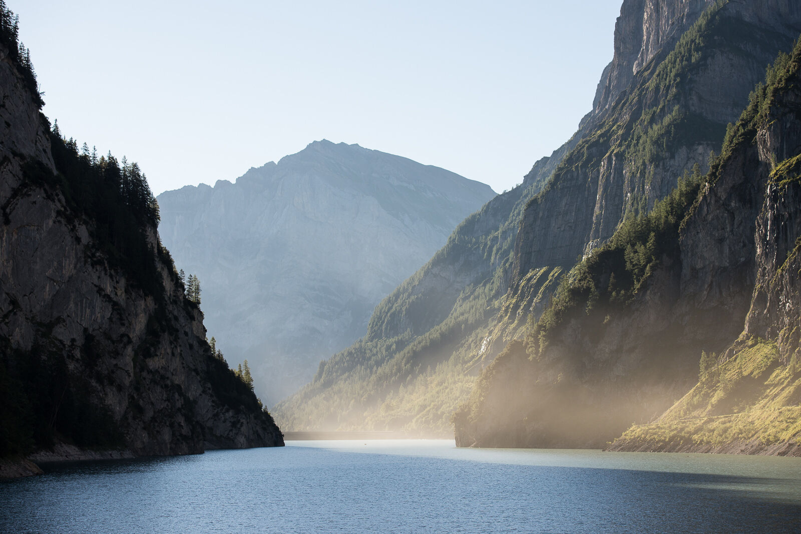
© Heidiland Tourismus - Thomas Kessler


- Brief description
-
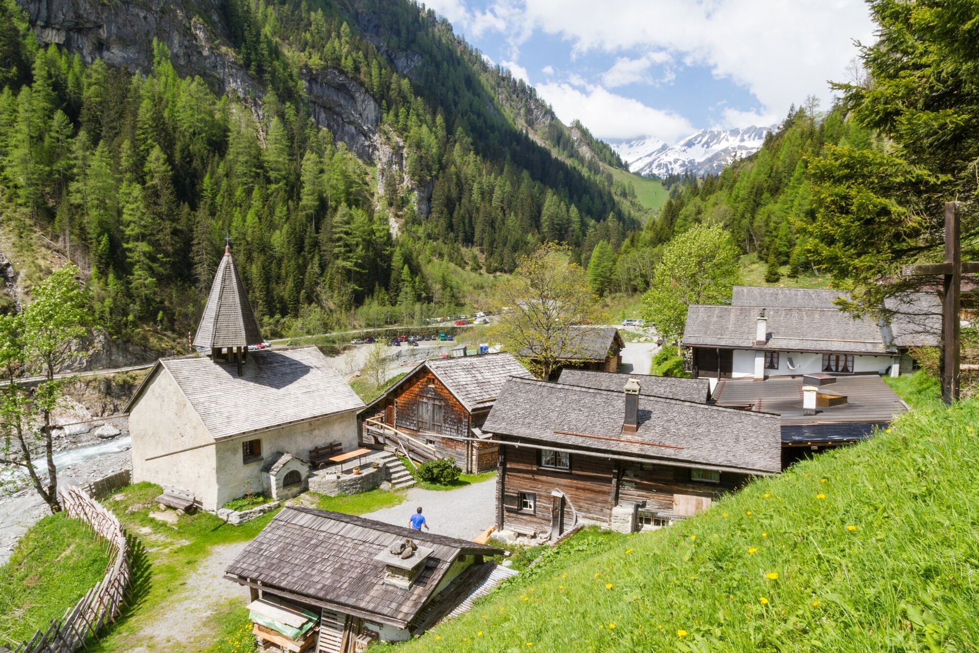
A journey to the past.
- Difficulty
-
medium
- Rating
-
- Route
-
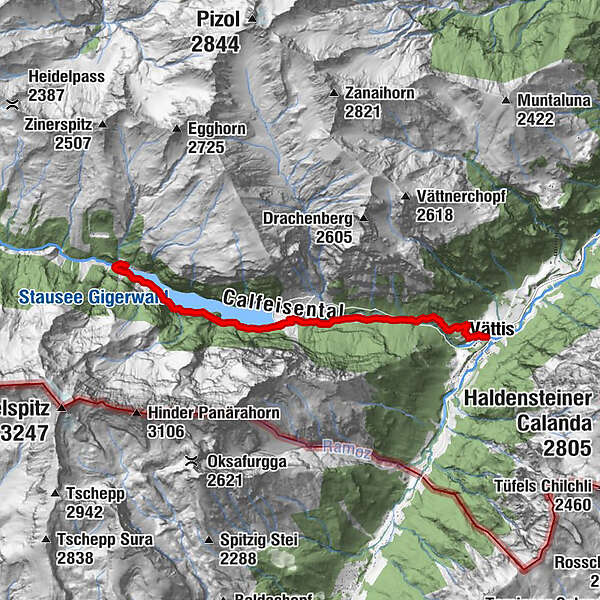
Vättis (943 m)St. Martin im Calfeisental8.0 kmSankt Martin8.0 kmSt. Martin8.0 km
- Best season
-
JanFebMarAprMayJunJulAugSepOctNovDec
- Highest point
- 1,348 m
- Endpoint
-
St. Martin
- Height profile
-
 © outdooractive.com
- Author
-
The tour From Vättis to the Walser settlement St.Martin is used by outdooractive.com provided.
GPS Downloads


General info
Refreshment stop
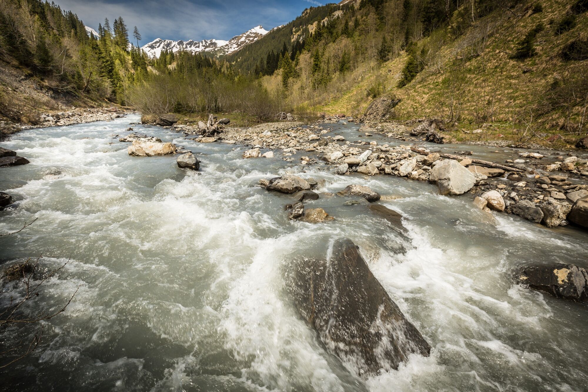
A lot of view