- Brief description
-
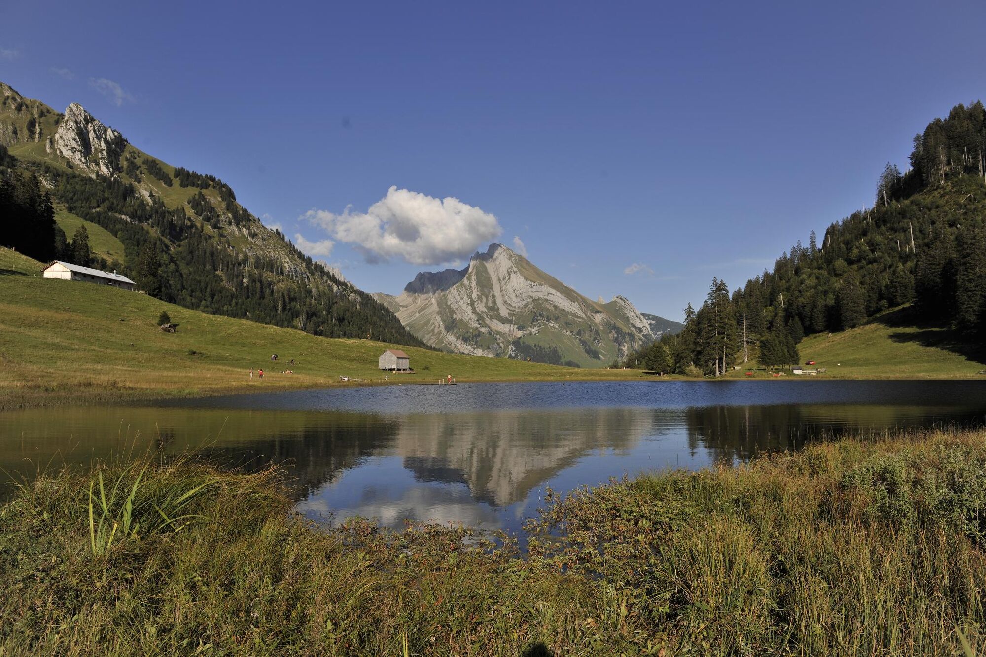
Leichte Wanderung zum Gräppelensee, einem erfrischenden Bergsee inmitten einer traumhafter Bergkulisse.
- Difficulty
-
medium
- Rating
-
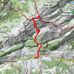
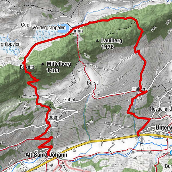
- Route
-
Unterwasser0.3 kmHalden1.1 kmRisi4.4 kmBöstritt4.8 kmBoden-Berg6.1 kmBerg6.4 kmGugger6.8 kmGasthaus zum Schäfli7.3 kmAlt St. Johann7.4 km
- Best season
-
JanFebMarAprMayJunJulAugSepOctNovDec
- Highest point
- 1,343 m
- Endpoint
-
Alt St. Johann
- Height profile
-
 © outdooractive.com
- Author
-
The tour Unterwasser - Gräppelensee - Alt St. Johann is used by outdooractive.com provided.
GPS Downloads


General info
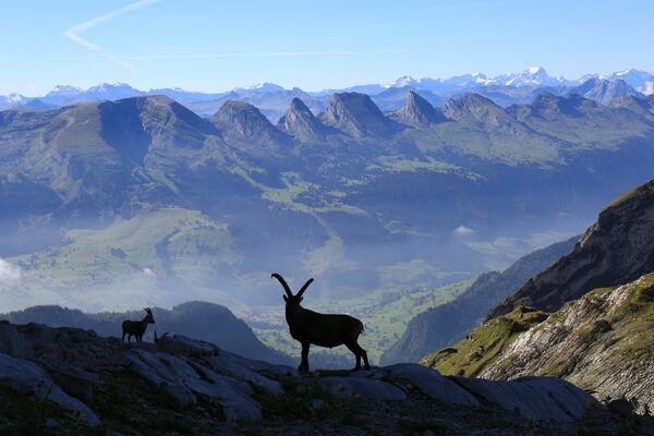
A lot of view
Other tours in the regions
-
Heidiland
2208
-
Walensee
924
-
Chäserrugg
262