


- Brief description
-
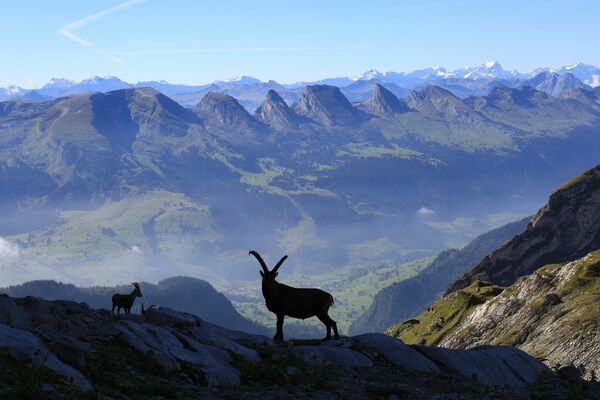
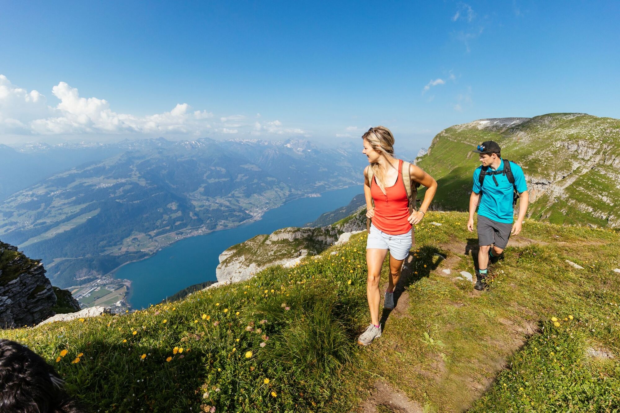
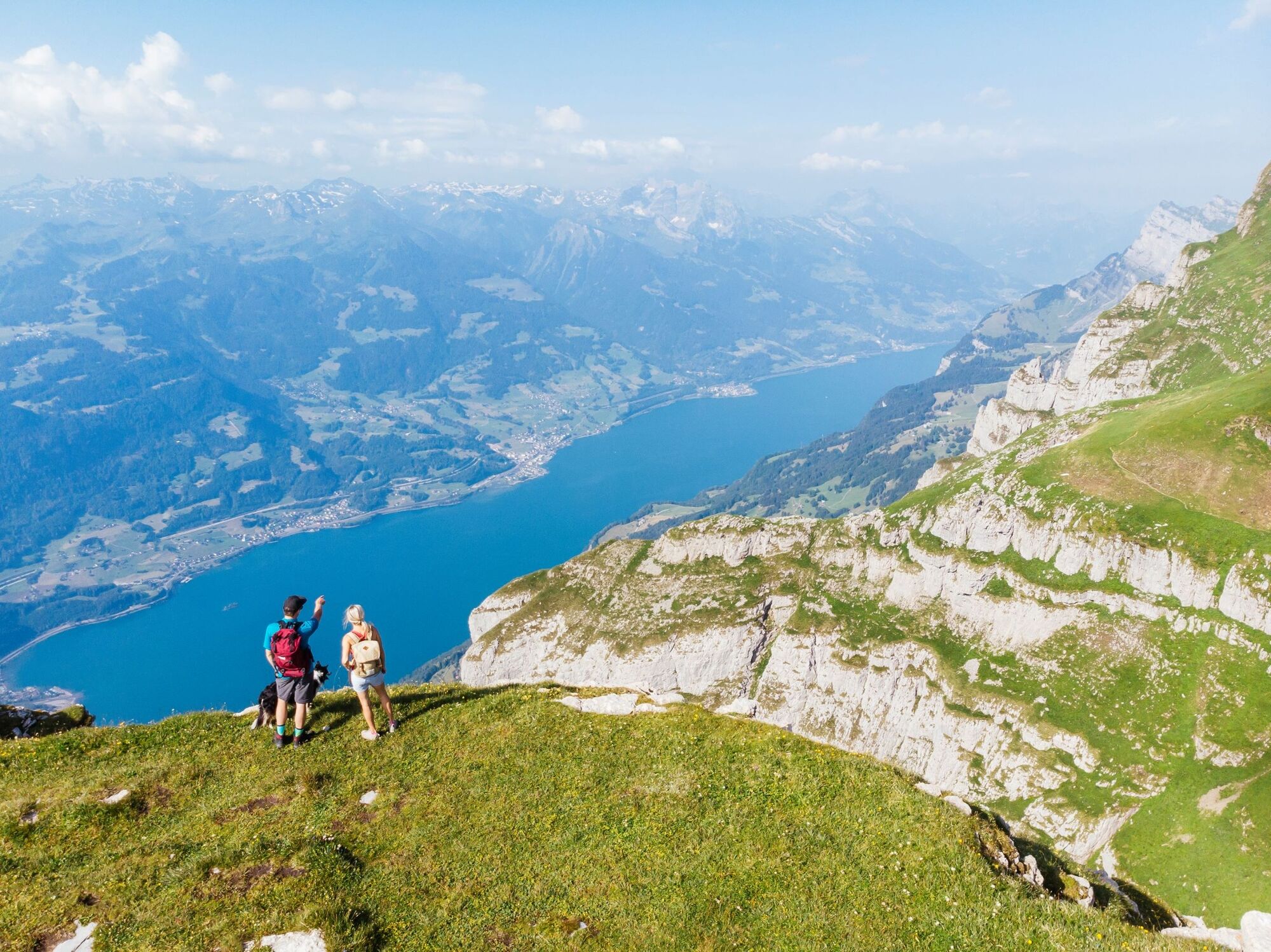
Streifzug durch das idyllische Gluristal.
- Difficulty
-
medium
- Rating
-
- Route
-
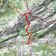
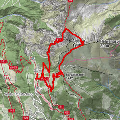
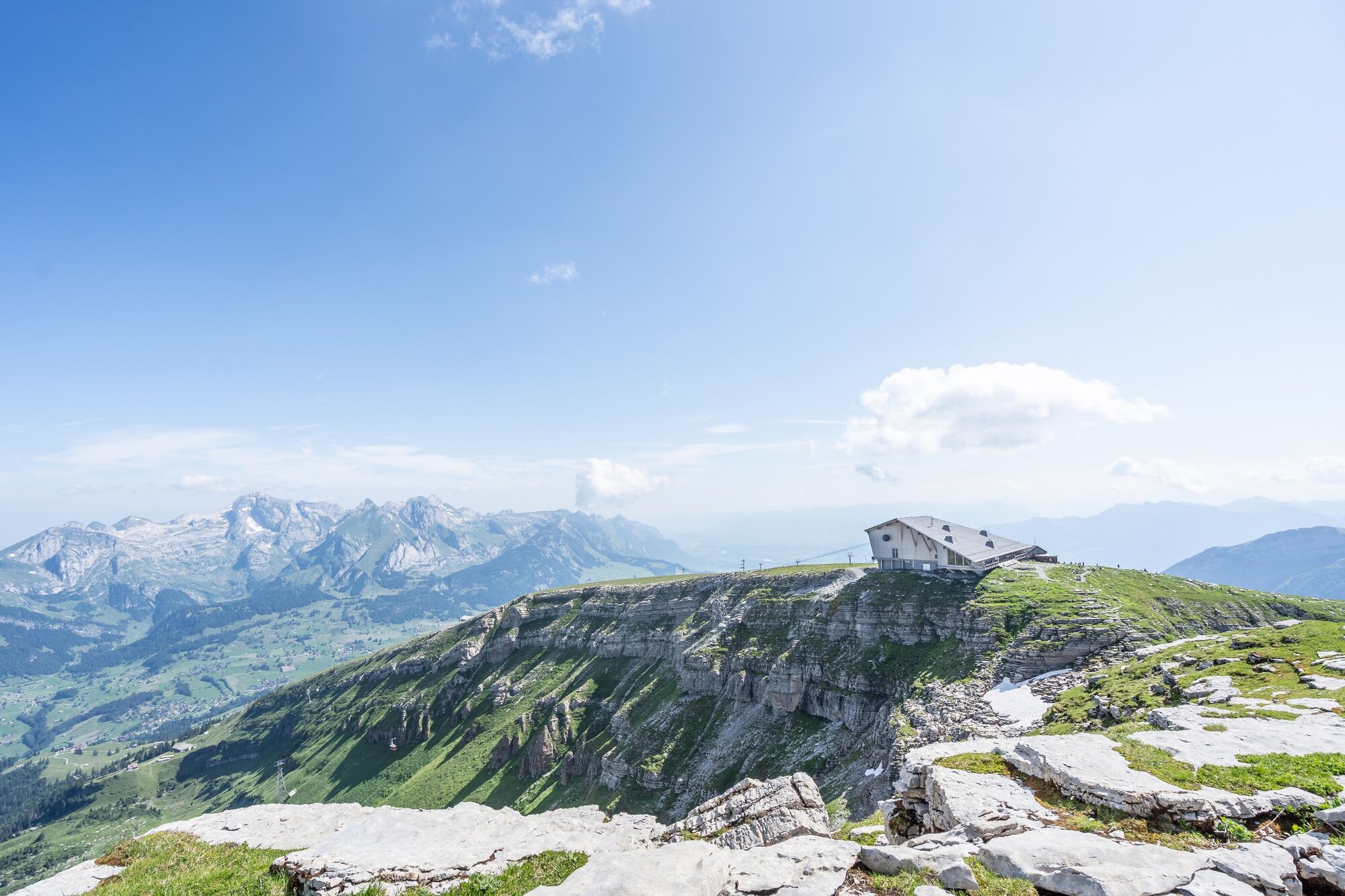
Berggasthaus SellamattAlp Sellamatt (1,435 m)0.7 kmAlp Gluris2.1 kmPanorama2.1 kmHinterrugg (2,306 m)4.9 kmChäserrugg (2,262 m)5.4 kmGipfelrestaurant Chäserrugg (2,255 m)5.5 km
- Best season
-
JanFebMarAprMayJunJulAugSepOctNovDec
- Highest point
- 2,299 m
- Endpoint
-
Chäserrugg
- Height profile
-
 © outdooractive.com
- Author
-
The tour Sellamatt - Gluris - Hinterrugg - Chäserrugg is used by outdooractive.com provided.
GPS Downloads


General info
Refreshment stop
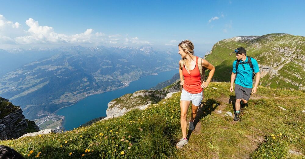
A lot of view
Other tours in the regions
-
Heidiland
2201
-
Walensee
917
-
Chäserrugg
262