- Brief description
-
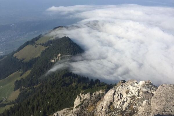
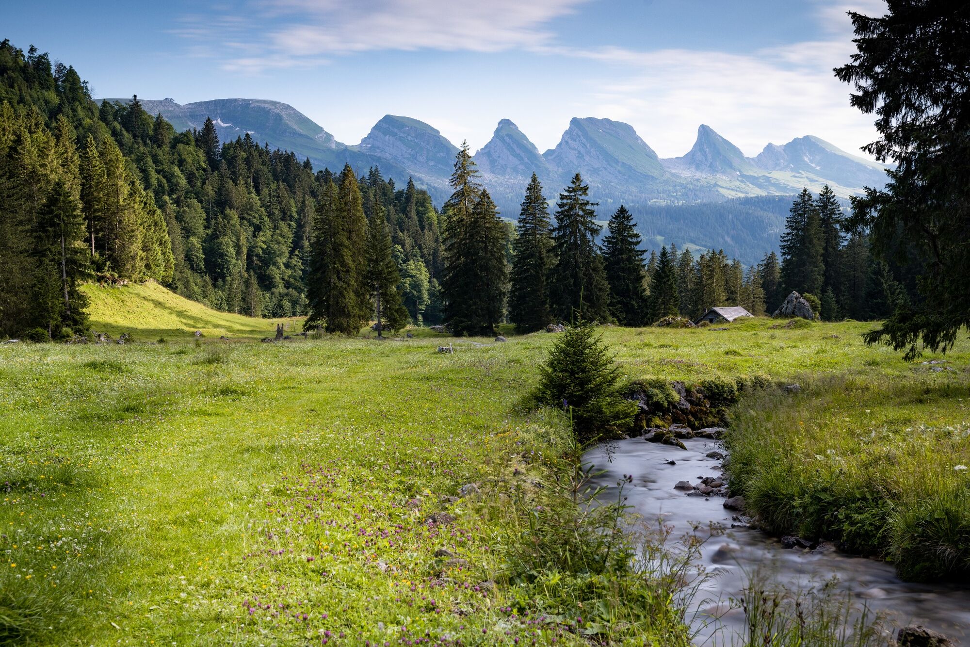
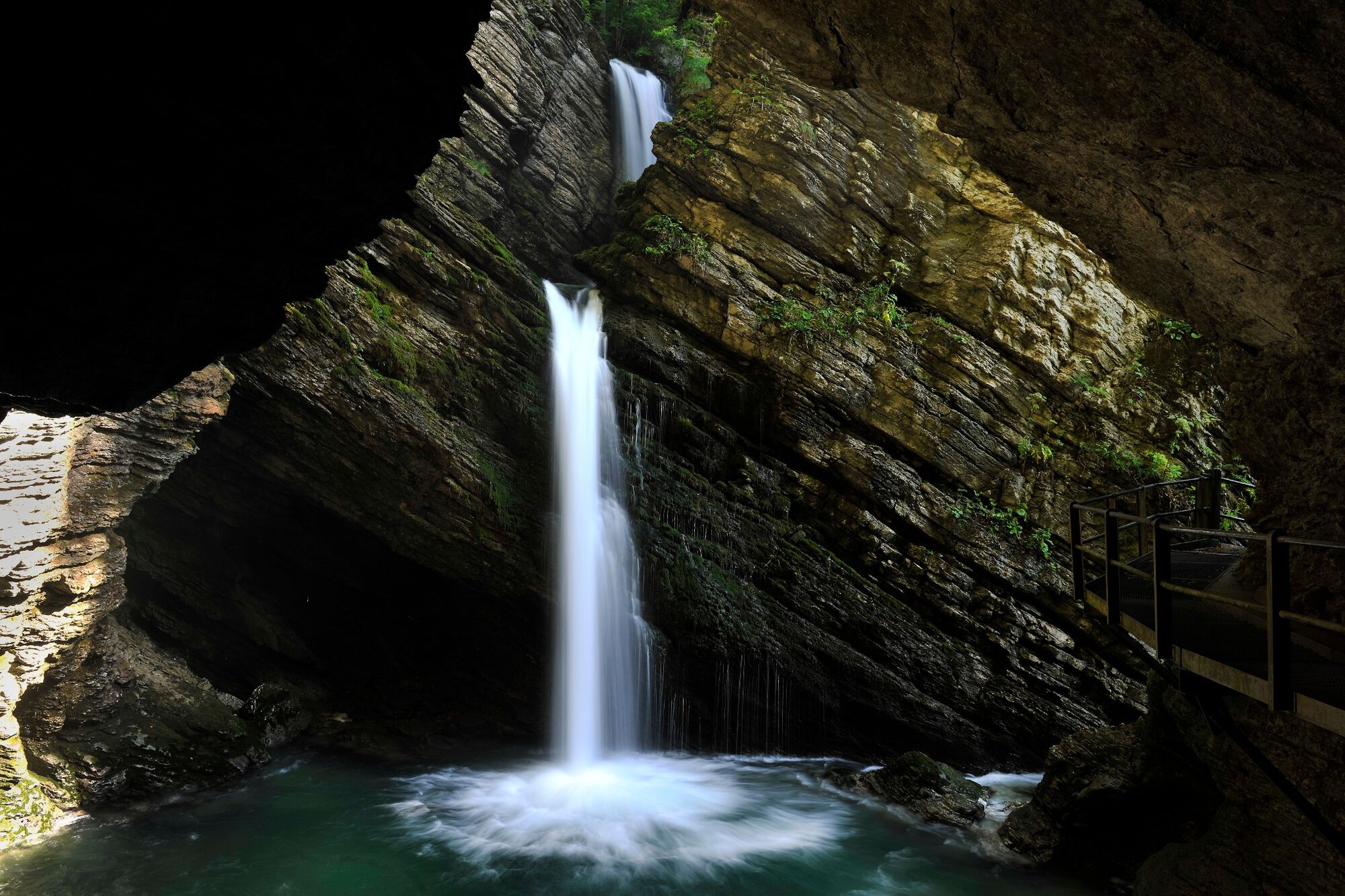
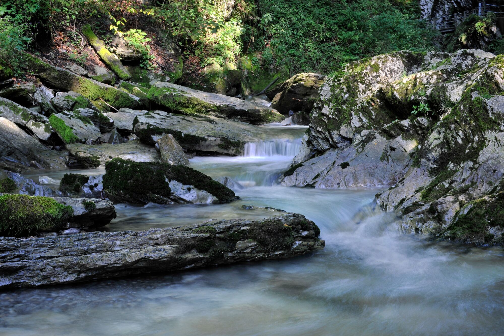
Eine abwechslungsreiche Wanderung mit Informationstafeln zur Geschichte des Wassers in der Ferienregion Toggenburg.
- Difficulty
-
medium
- Rating
-
- Route
-
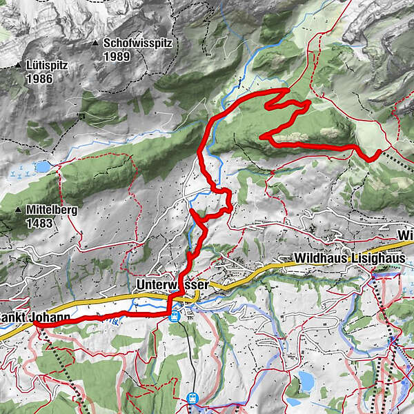
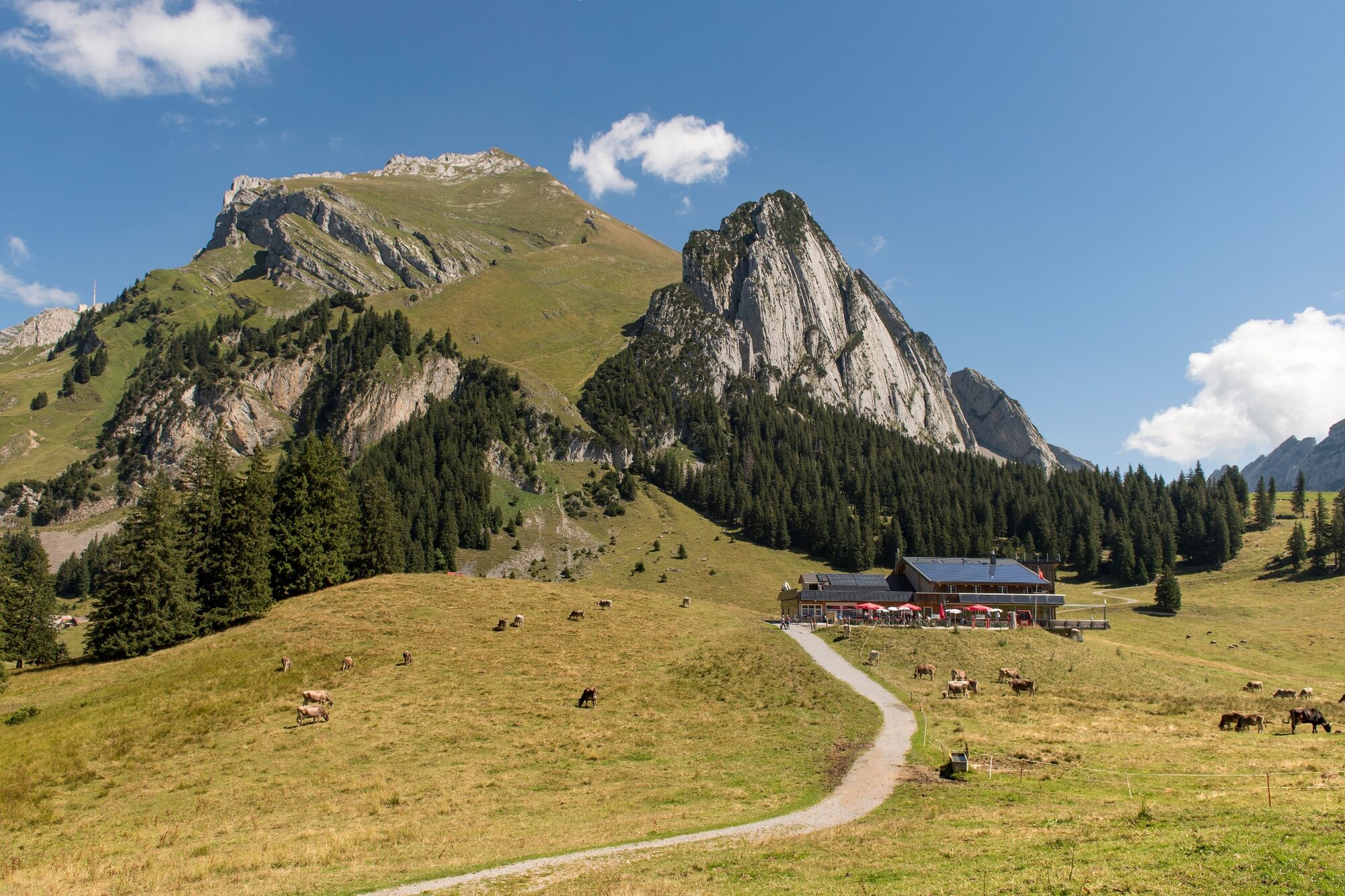
Bergrestaurant GamplütLaui4.5 kmPlattenweid5.9 kmEnetthur6.2 kmStatz7.0 kmThurfälle7.5 kmUnterwasser8.2 kmAglisgüetli9.9 kmAlt St. Johann10.2 km
- Best season
-
JanFebMarAprMayJunJulAugSepOctNovDec
- Highest point
- 1,402 m
- Endpoint
-
Alt St. Johann
- Height profile
-
 © outdooractive.com
-

-
AuthorThe tour Weg des Wassers is used by outdooractive.com provided.
GPS Downloads


General info
Refreshment stop
Healthy climate
Cultural/Historical
A lot of view
Other tours in the regions
-
Heidiland
2200
-
Walensee
916
-
Wildhaus - Alt St. Johann
293