- Brief description
-
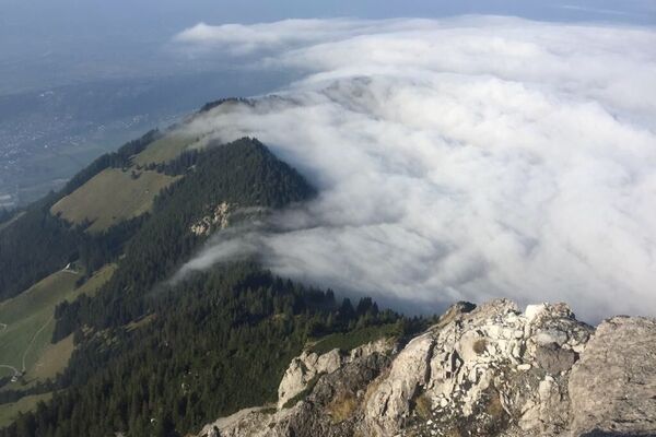
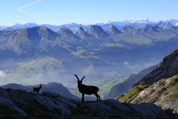
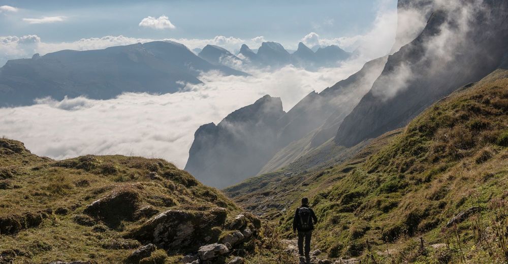
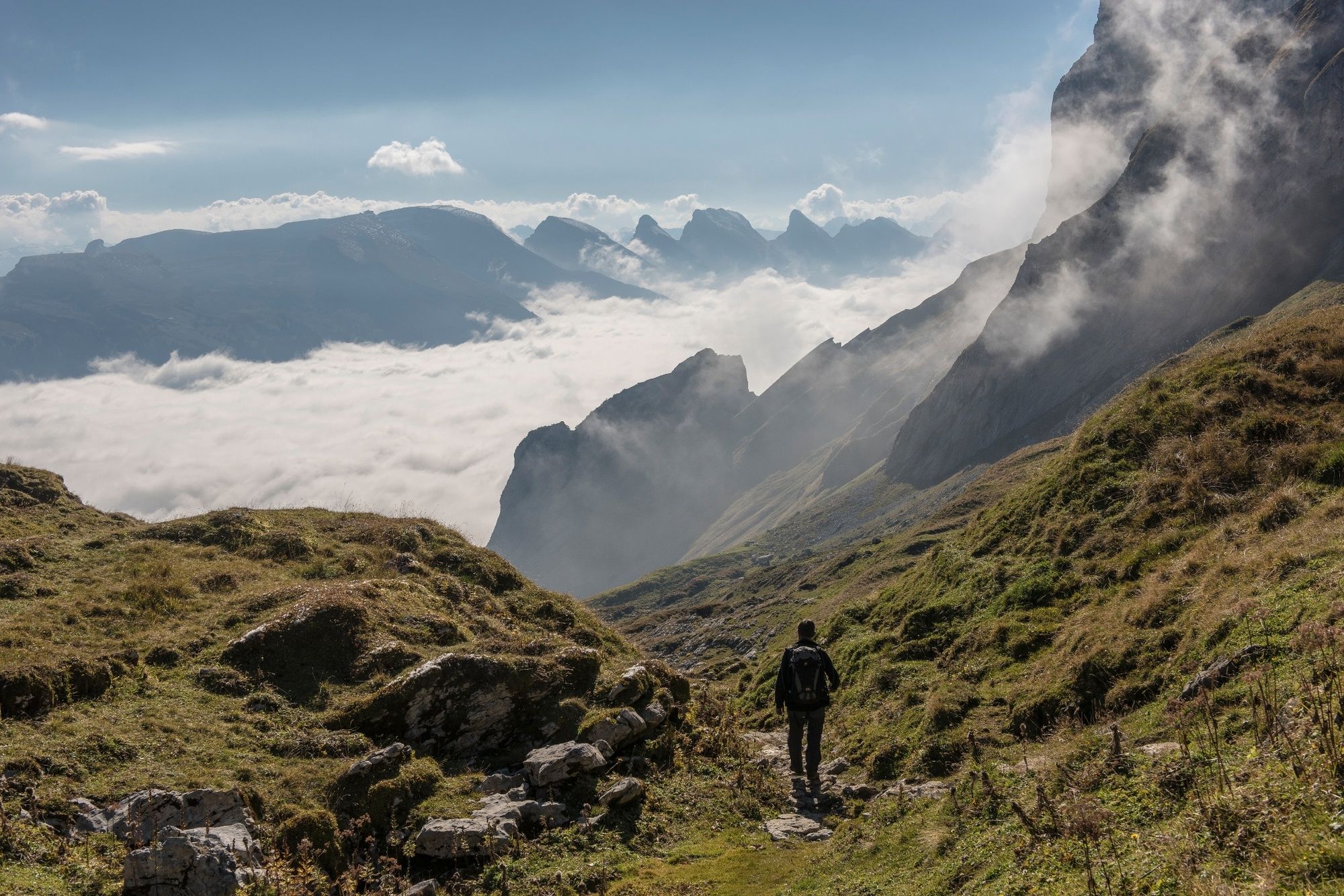
Aussichtsreiche aber strenge Wanderung zum Zwinglipass.
- Difficulty
-
difficult
- Rating
-
- Route
-
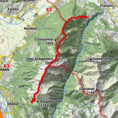
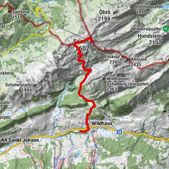
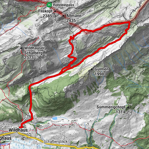
WildhausKatholische Kirche St. Bartholomäus0.0 kmWildhaus (Gamplüt) (1,098 m)0.7 kmFlürentobel1.6 kmObergruebe5.7 kmChreialpfirst (2,126 m)6.7 kmZwinglipasshütte8.6 kmChüetolle9.8 kmSchnüer10.7 kmFlürentobel12.7 kmWildhaus (Gamplüt) (1,098 m)13.7 kmKatholische Kirche St. Bartholomäus14.3 kmWildhaus14.3 km
- Best season
-
JanFebMarAprMayJunJulAugSepOctNovDec
- Highest point
- 2,121 m
- Endpoint
-
Chuchitobel Wildhaus
- Height profile
-
 © outdooractive.com
- Author
-
The tour Zwinglipass (Königstour) is used by outdooractive.com provided.
GPS Downloads


General info
Refreshment stop
A lot of view
Other tours in the regions
-
Appenzellerland
1963
-
Ebenalp
1094
-
Wildhaus - Alt St. Johann
293