- Brief description
-
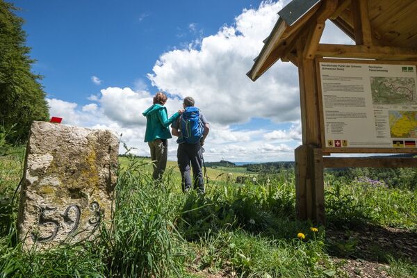
This barrier-free hike in the Eschheimer Valley is the solution for all those who are looking for a quick and easy excursion into nature.
- Difficulty
-
easy
- Rating
-
- Starting point
-
Schaffhausen, Breite
- Route
-
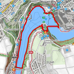
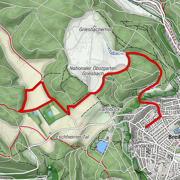
Schaffhausen (403 m)0.3 kmHornusserhütte Griesbach2.0 kmRestaurant Eschheimer Tal4.6 kmHornusserhütte Griesbach6.5 km
- Best season
-
JanFebMarAprMayJunJulAugSepOctNovDec
- Description
-
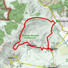
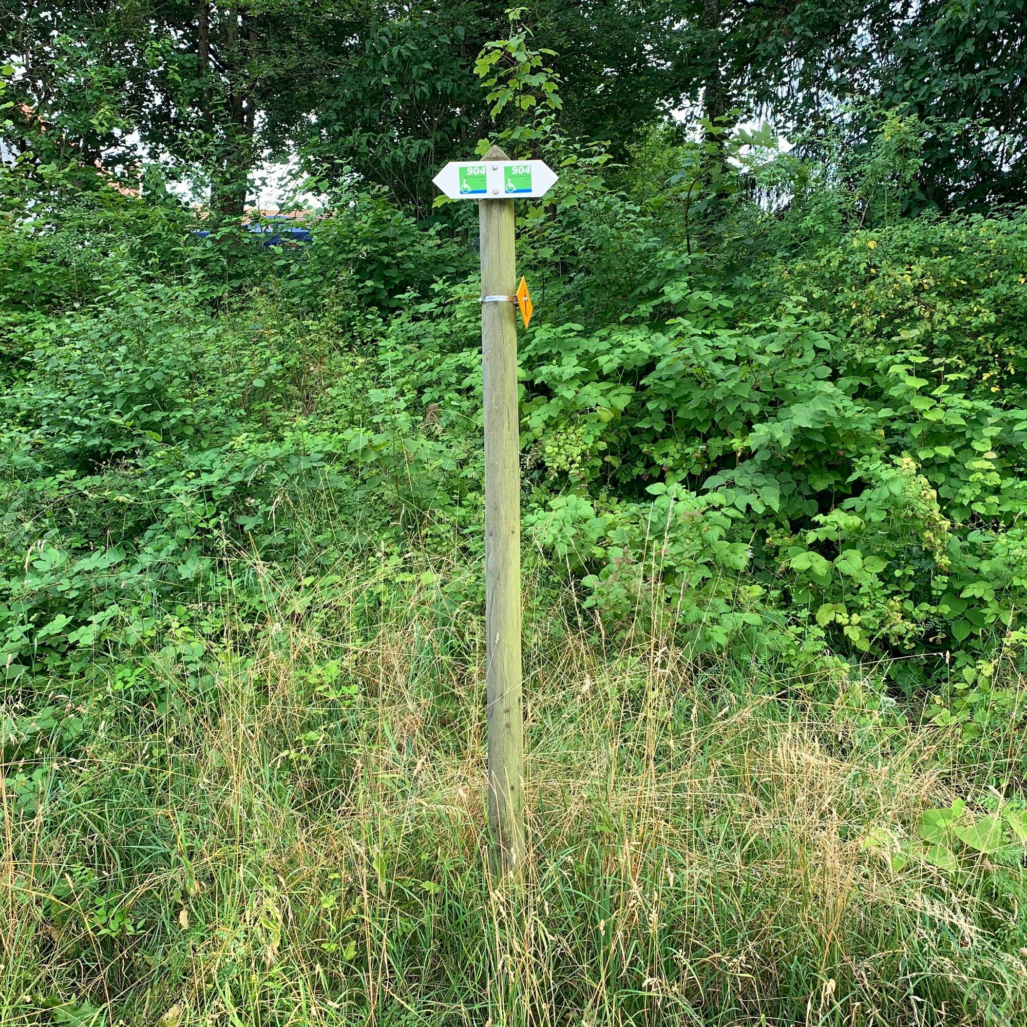
This barrier-free circular tour starts at Schaffhauser Breite.
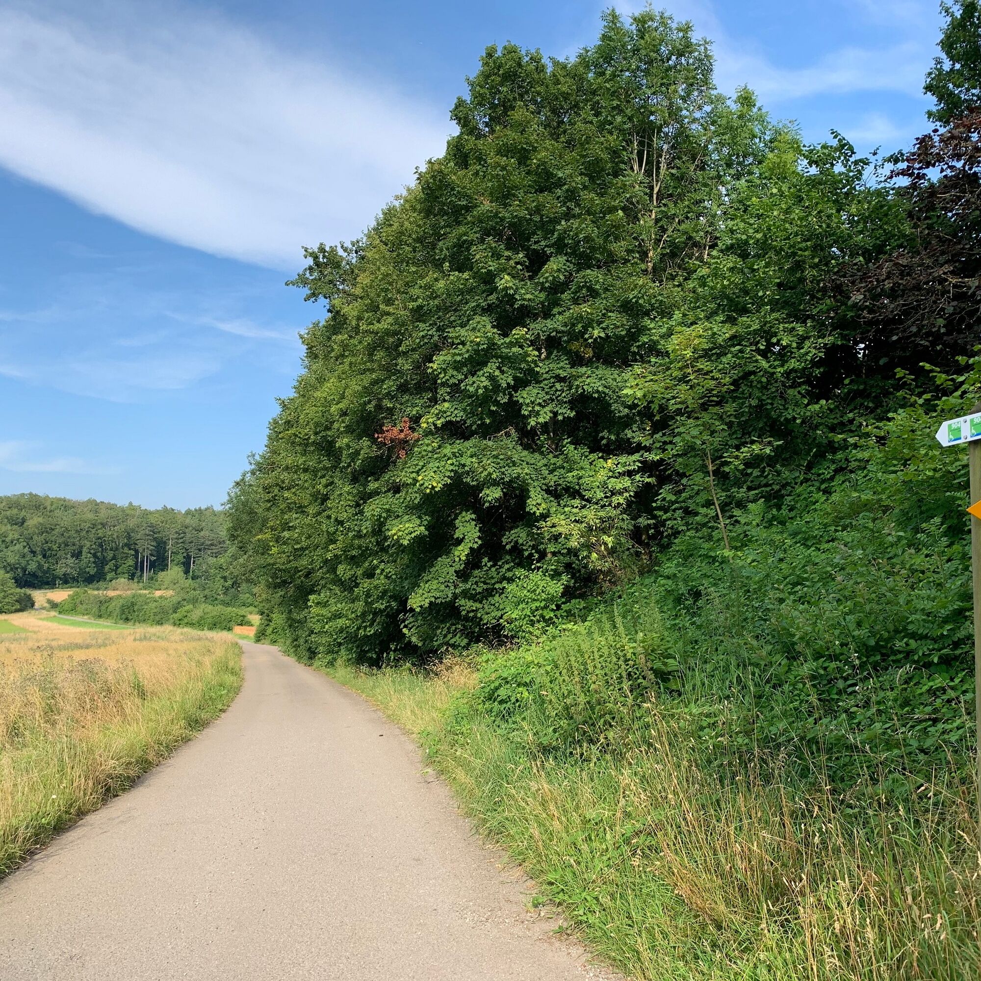
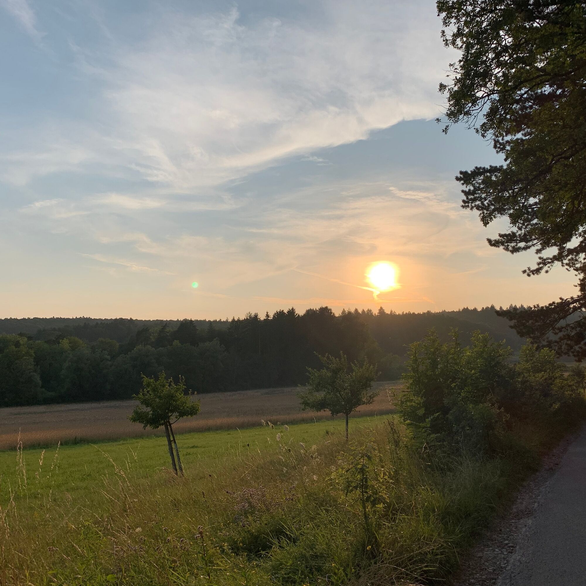
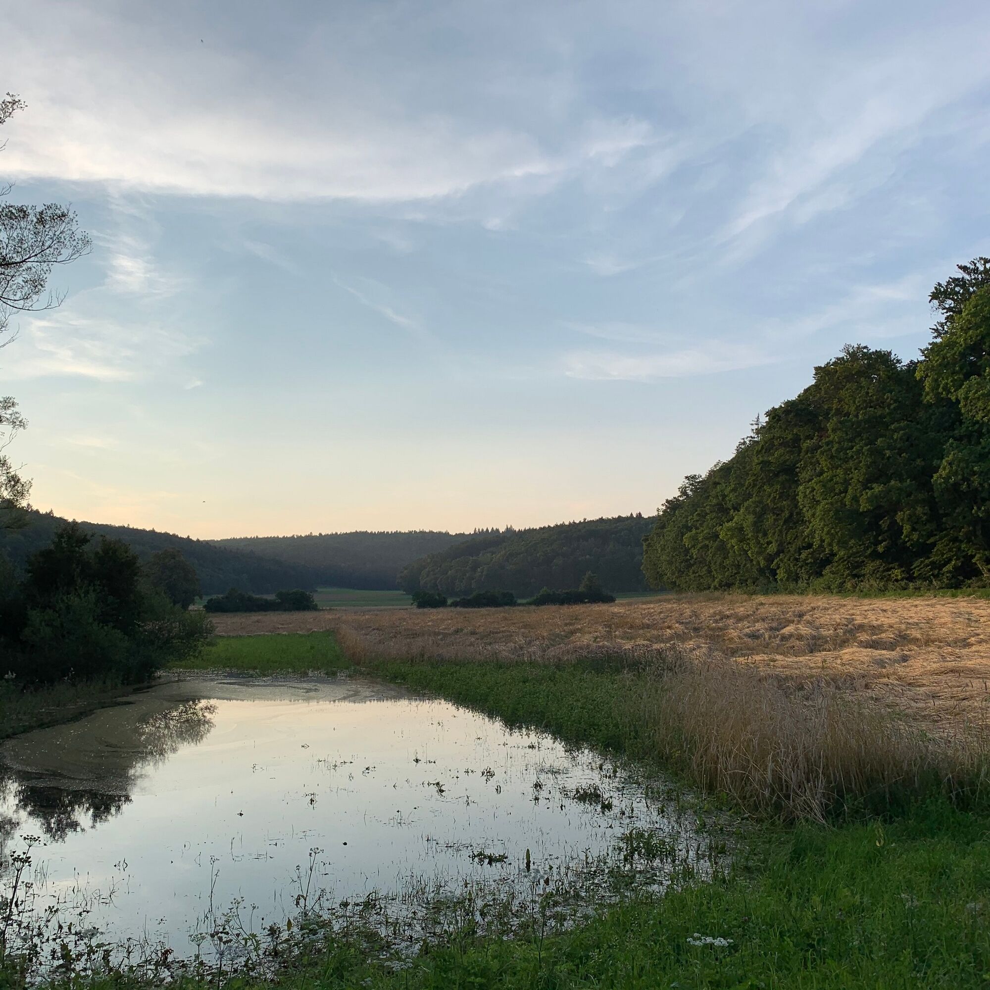
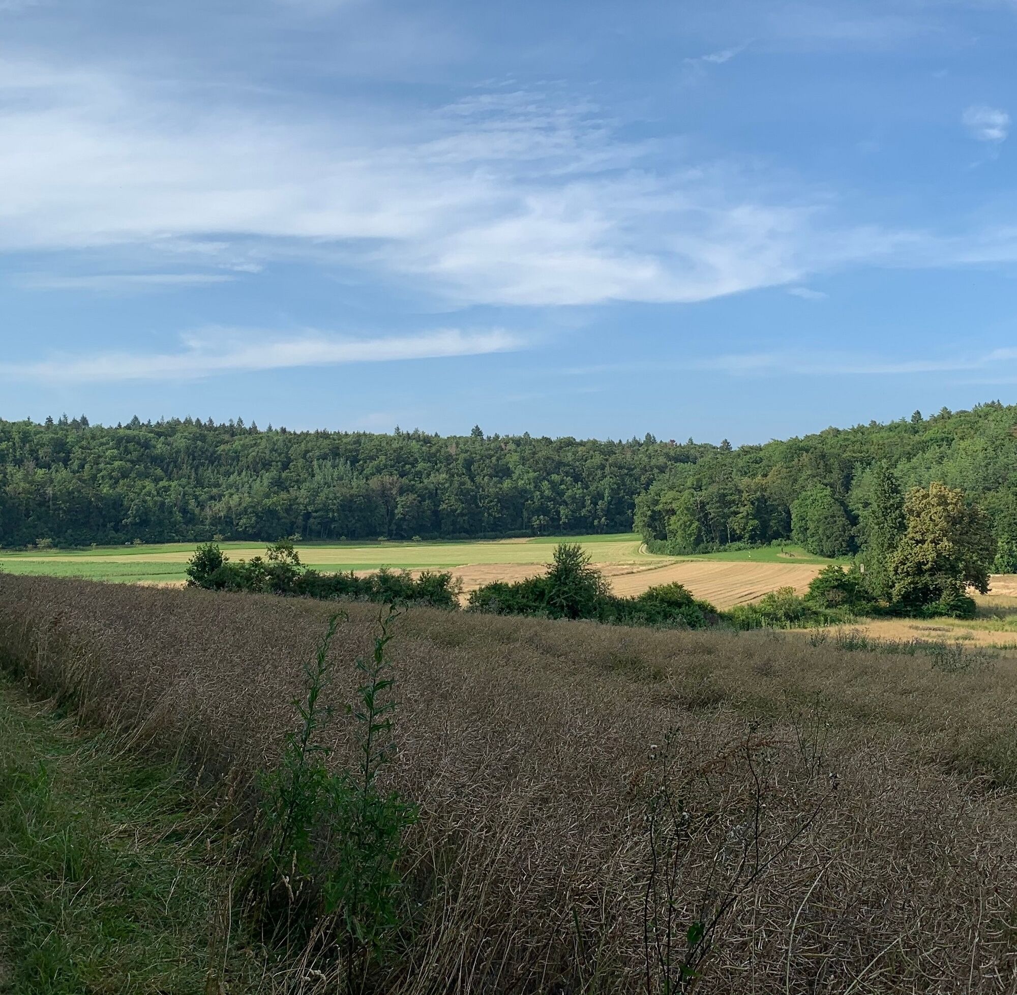
This district can be easily reached from the city centre in just a few minutes by public transport. The Eschheimer valley is located on the heights of the Randen and is a popular recreational area for the people of Schaffhausen. The geographical centre of the canton of Schaffhausen is also located in the middle of the valley. This is marked in the middle of a field with a plaque on a large boulder. The circular trail leads through the forest, meadows and across fields and is just the thing if you are looking for peace and relaxation. The Eschheimertal restaurant is located at the beginning of the valley. An insider tip for hikers and walkers.
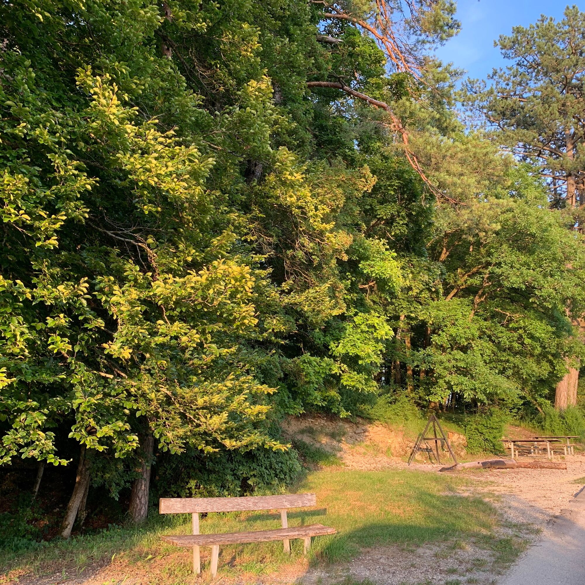
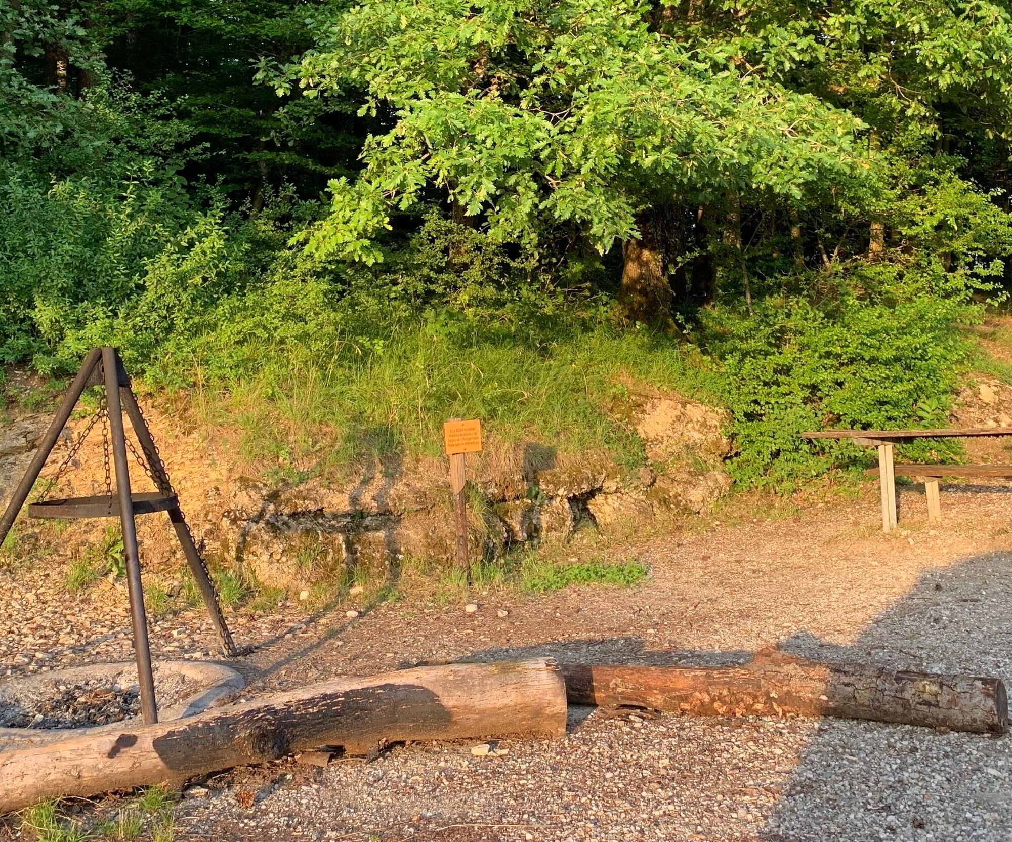
Along the way you will also find spacious rest areas and barbecue spots where you can linger and recharge your batteries. The final section follows the same paths as at the start of the circular tour.
- Directions
-
This barrier-free circular tour starts at Schaffhauser Breite.
This district can be easily reached from the city centre in just a few minutes by public transport. The Eschheimer valley is located on the heights of the Randen and is a popular recreational area for the people of Schaffhausen. The geographical centre of the canton of Schaffhausen is also located in the middle of the valley. This is marked by a plaque on a large boulder in the middle of a field. The circular trail leads through the forest, meadows and across fields and is just the thing if you are looking for peace and relaxation. The Eschheimertal restaurant is located at the beginning of the valley. An insider tip for hikers and walkers.
There are also spacious rest areas and barbecue spots along the way, inviting you to linger and recharge your batteries. The last section follows the same paths as at the start of the circular tour.
- Highest point
- 573 m
- Endpoint
-
Schaffhausen, Breite
- Height profile
-
 © outdooractive.com
 - Equipment
-
Comfortable shoes, drinks and snacks for in between.
- Tips
-
The easiest way to get to the starting point from Schaffhausen railway station is by bus (bus stop: Schaffhausen, Riet).
- Additional information
- Directions
- Public transportation
- Parking
-
We recommend parking your car at Schaffhausen railway station and taking the bus to the starting point.

-

-
AuthorThe tour SwitzerlandMobility 904: Eschheimertalweg is used by outdooractive.com provided.


General info
-
SchaffhauserLand
1027
-
Reiat
474
-
Schaffhausen
168