


- Brief description
-
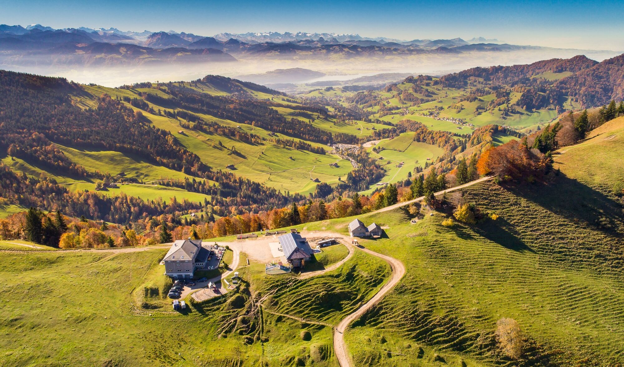
Aussichtsreiche Wanderung über die schönsten Gipfel rund um den Atzmännig.
- Difficulty
-
difficult
- Rating
-
- Route
-
Talstation0.0 kmBrustenegg1.0 kmOber Atzmännig2.0 kmOberatzmännig2.1 kmSchwammegg (1,282 m)2.9 kmRotstein (1,285 m)3.6 kmTweralpspitz (1,332 m)4.6 kmObere Tweralp5.0 kmChrüzeggalp (1,314 m)5.4 kmBerggasthaus Chrüzegg5.9 kmChrüzegg (1,314 m)6.2 kmChabis6.6 kmTalstation9.3 km
- Best season
-
JanFebMarAprMayJunJulAugSepOctNovDec
- Highest point
- 1,322 m
- Height profile
-
 © outdooractive.com

-

-
AuthorThe tour Atzmännig – Tweralpspitz – Atzmännig: «Goldinger Rundwanderung» is used by outdooractive.com provided.
GPS Downloads


General info
Refreshment stop
A lot of view
Other tours in the regions
-
Toggenburg
1771
-
Goldingen - Atzmännig
771
-
Gommiswald
204


