© Heidiland Tourismus - Thomas Kessler

© Heidiland Tourismus - Thomas Kessler


© Heidiland Tourismus - Thomas Kessler

© Heidiland Tourismus - Thomas Kessler

© Heidiland Tourismus - Thomas Kessler


- Brief description
-
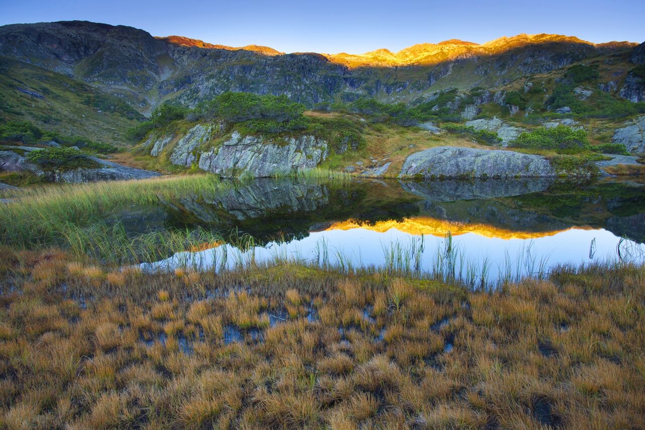
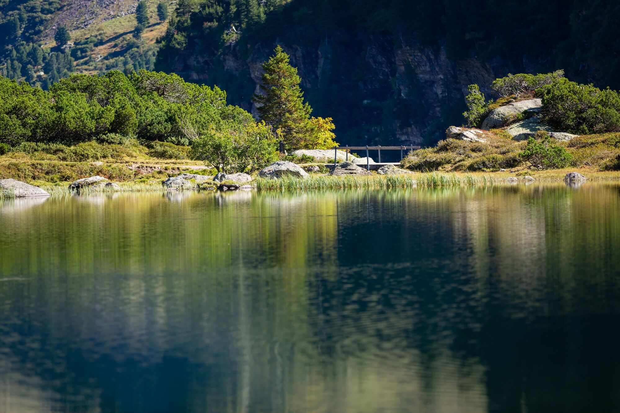
The three Murg lakes are nestled in a wildly romantic mountain basin. Streams, lakes, waterfalls, moor meadows and a protected pine reserve make this tour an experience.
- Difficulty
-
medium
- Rating
-
- Route
-
Murgbachfall4.2 kmMurgseehütte4.9 kmBerggasthaus Murgsee4.9 km
- Best season
-
JanFebMarAprMayJunJulAugSepOctNovDec
- Highest point
- 1,820 m
- Endpoint
-
Murg, Parkplatz Mornen
- Height profile
-
 © outdooractive.com


-

-
AuthorThe tour Hike to the Murg lakes is used by outdooractive.com provided.
GPS Downloads


General info
Refreshment stop
Flora
Other tours in the regions
-
Glarnerland
1971
-
Amden - Weesen
870
-
Engi
160