© Heidiland Tourismus - Thomas Kessler


© Heidiland Tourismus - Thomas Kessler
© Heidiland Tourismus - Thomas Kessler


© Heidiland Tourismus - Dolores Rupa


- Brief description
-
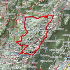
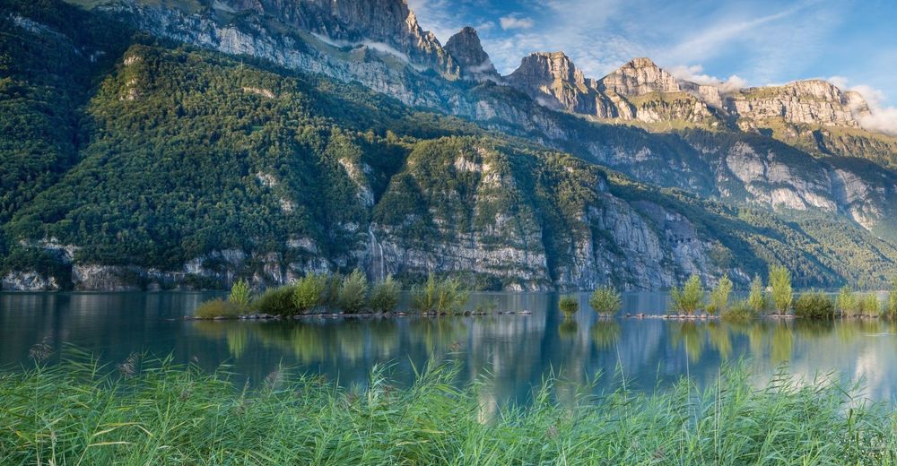
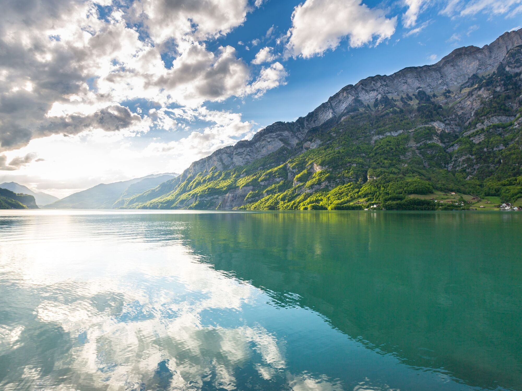
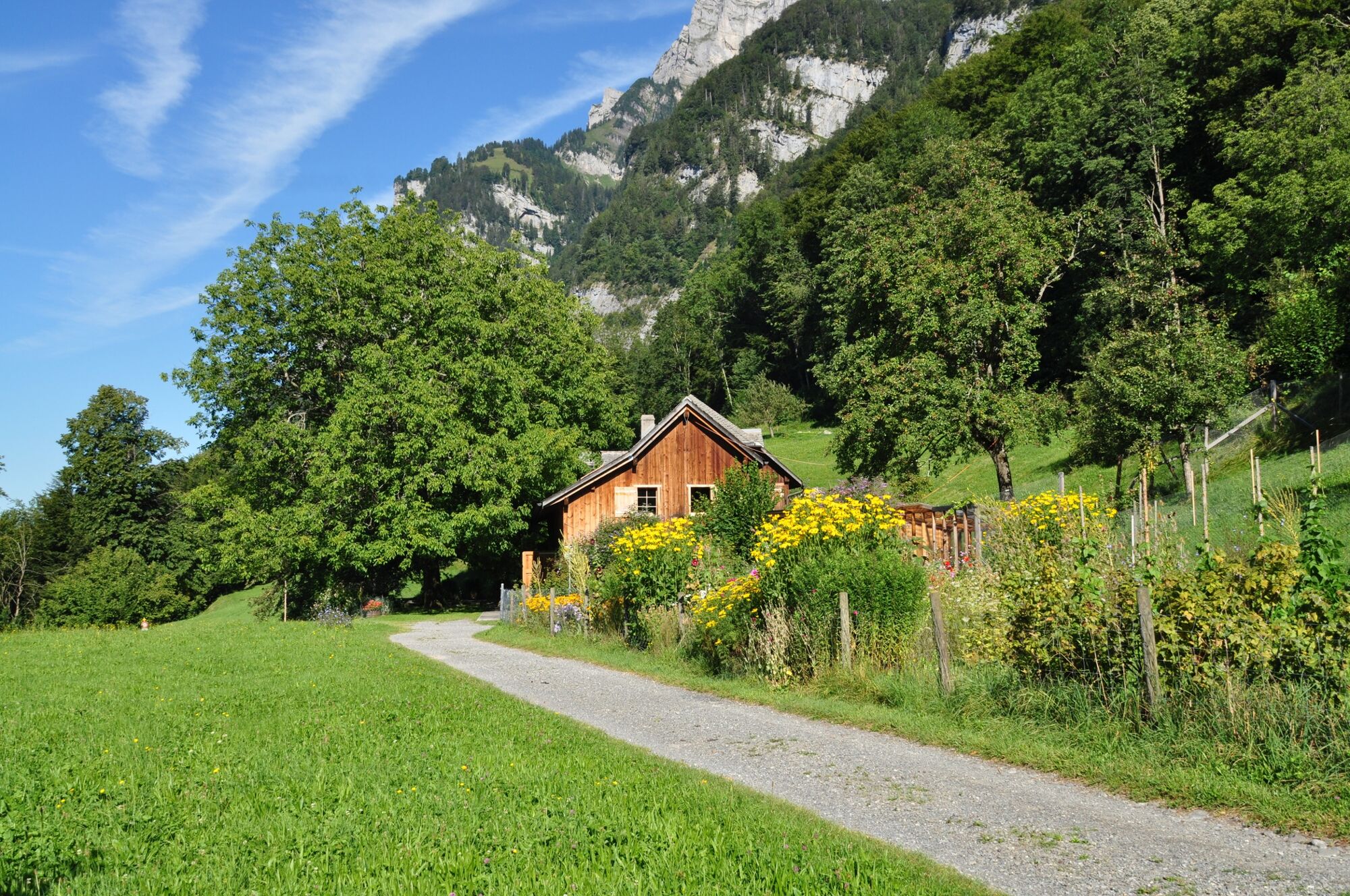
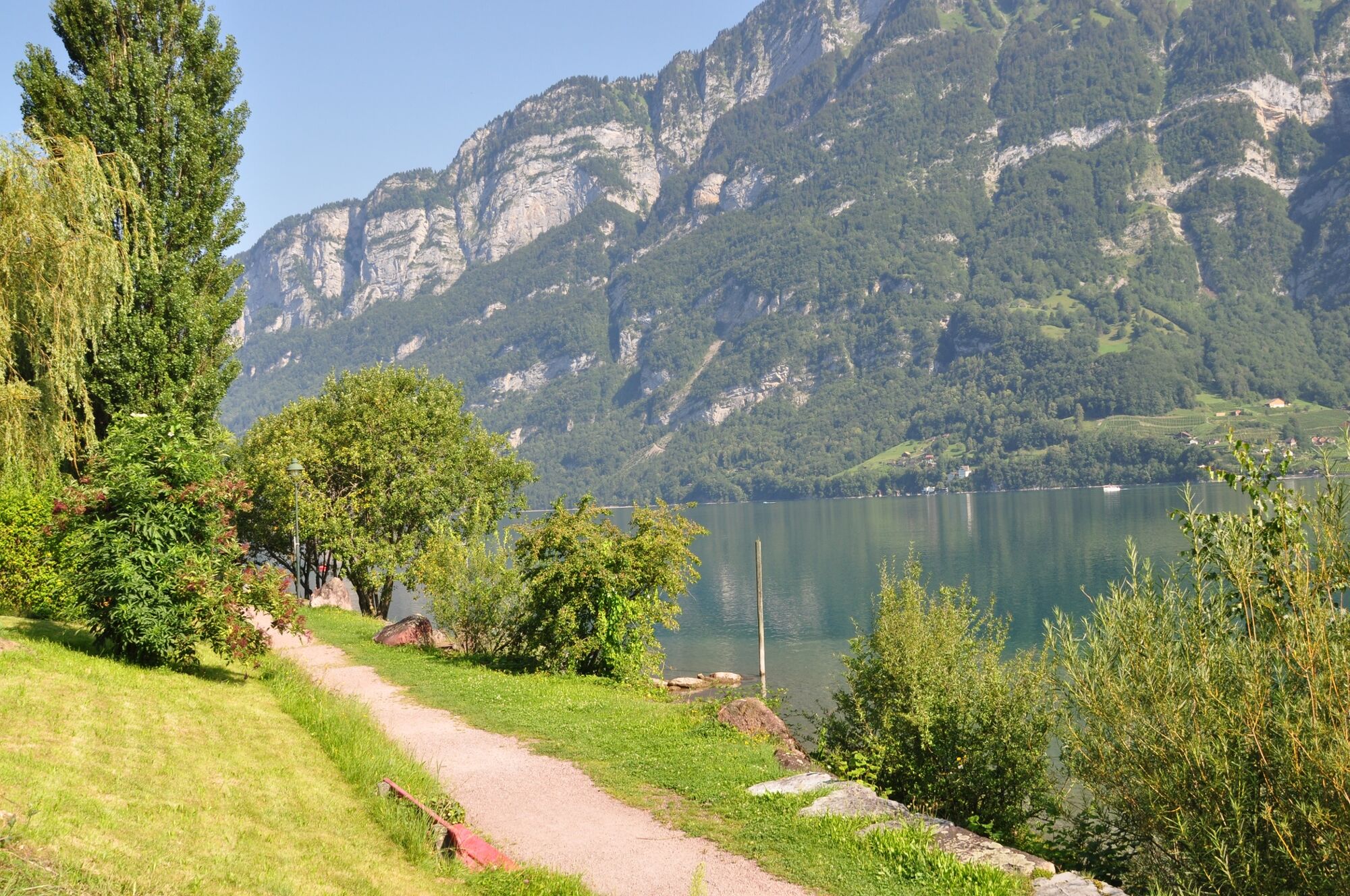
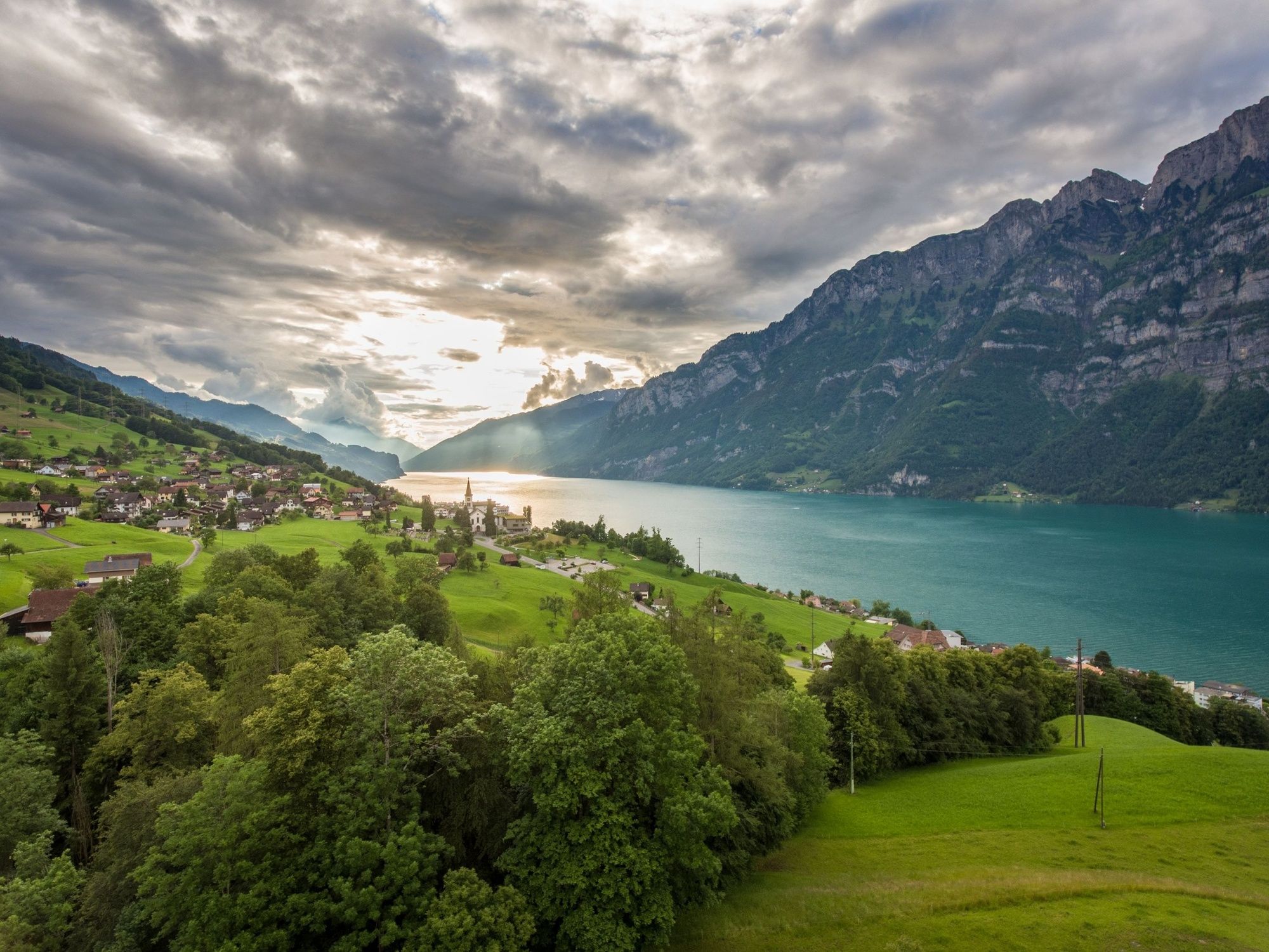
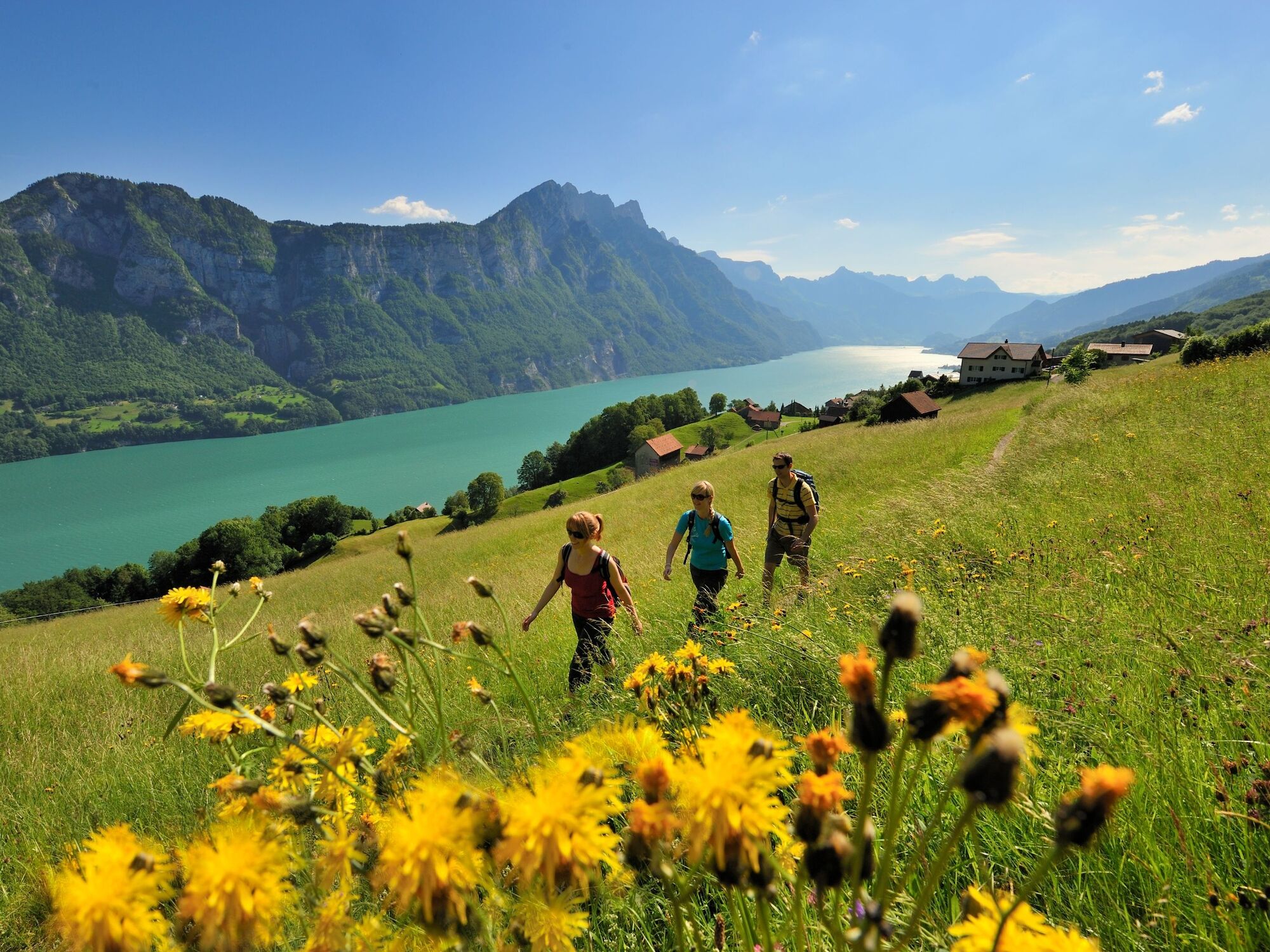
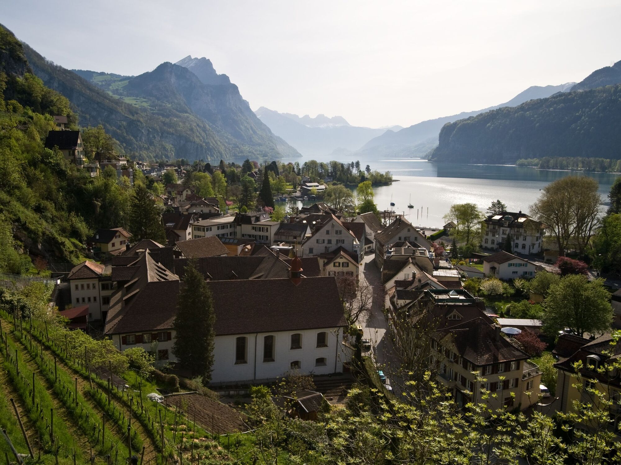
The fjord-like lake Walen and the proud Churfirsten mountains characterise the landscape of this tour. A boat trip connects the two stages of this route.
- Difficulty
-
difficult
- Rating
-
- Starting point
-
Walenstadt, railway station
- Route
-
Walenstadt (426 m)Reformierte Kirche0.2 kmWalenstadt (427 m)0.4 kmGändli7.6 kmGand7.8 kmSchilt8.7 kmAu (434 m)9.3 kmSeehus10.3 kmQuinten (434 m)10.3 kmKapelle St. Bernhard10.3 kmSchifflände10.3 kmMurg Ost (See)11.9 kmMurg (448 m)12.2 kmKirche St. Johannes der Täufer12.3 kmBluemboden14.3 kmErkelin15.5 kmStutz15.8 kmHoschleipfen15.8 kmGästeluu15.9 kmVorderhof16.0 kmHinterhof16.2 kmRai16.3 kmBränden16.4 kmBrändenegg16.5 kmGeissegg16.8 kmSagenwald16.9 kmSagenbrugg17.0 kmHolchopf17.2 kmWalenguflen17.6 kmTüberen18.5 kmBitzi18.7 kmHirschen18.8 kmKirche Obstalden18.8 kmObstalden (685 m)18.9 kmSternen18.9 kmOberdorf19.0 kmHinterbach19.1 kmHinter Marchstein19.5 kmMittler Rütegg19.8 kmRüteggwald20.0 kmTränggi20.2 kmWeid20.3 kmSchwändi20.6 kmVorem Bach20.8 kmFilzbach (682 m)20.9 kmDörfli21.0 kmRössli21.1 kmLihn21.3 kmBödeli21.5 kmBoden21.7 kmGross Gäsitschachen23.5 kmGäsi Beizli23.9 kmWeesen (See) (424 m)26.3 kmWeesen (423 m)26.4 km
- Best season
-
JanFebMarAprMayJunJulAugSepOctNovDec
- Description
-
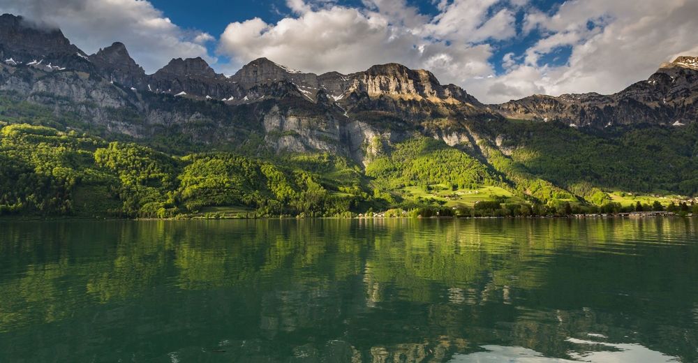
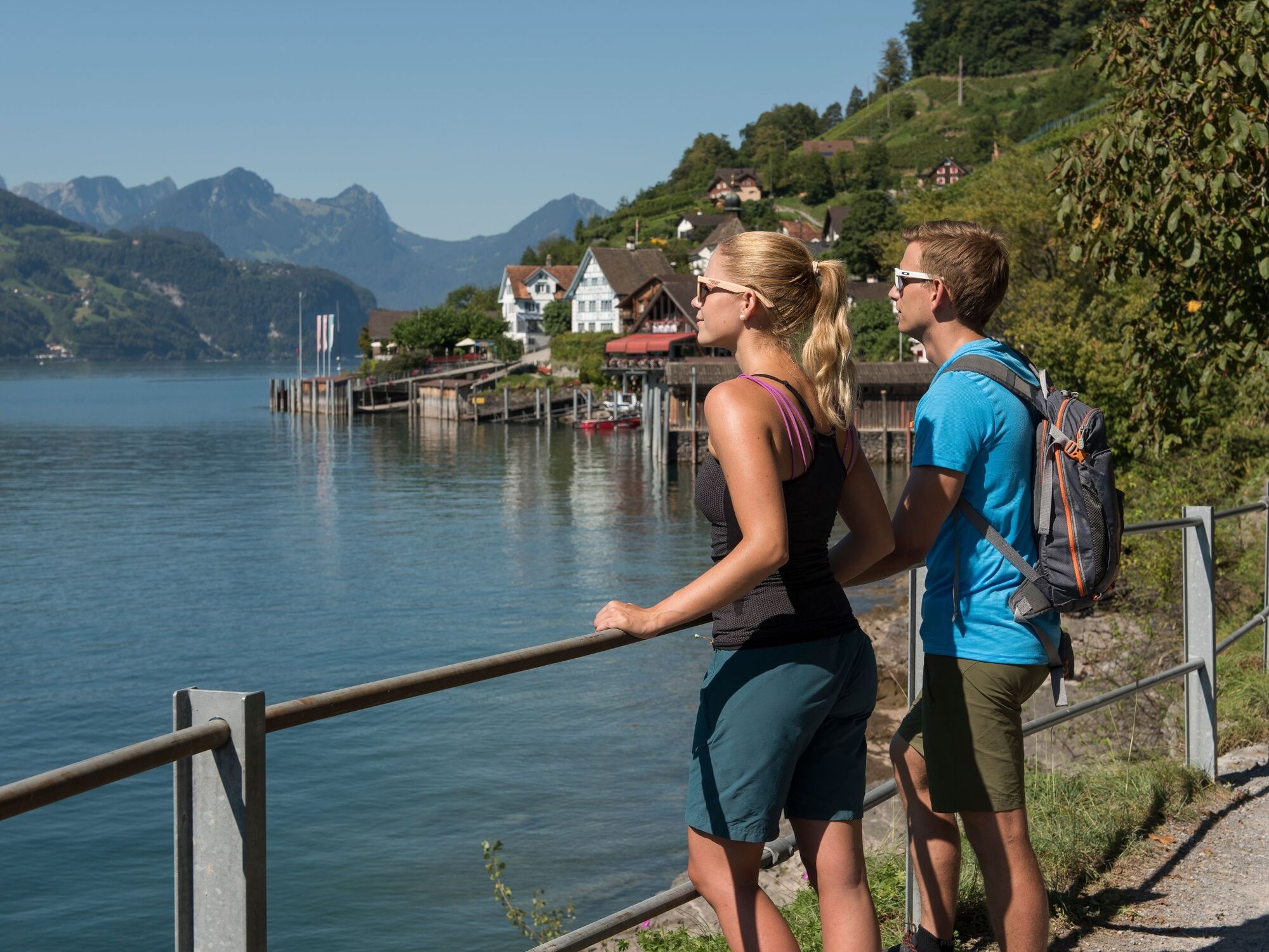
The fjord-like Walensee and the steeply-rising Churfirsten form the centre point of this hike. Halfway along the route, you will be enticed by the car-free wine village of Quinten with its Mediterranean climate. A boat trip joins the two sections of this route.
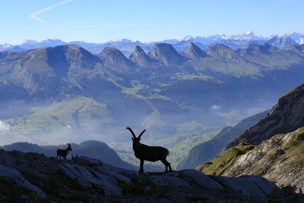
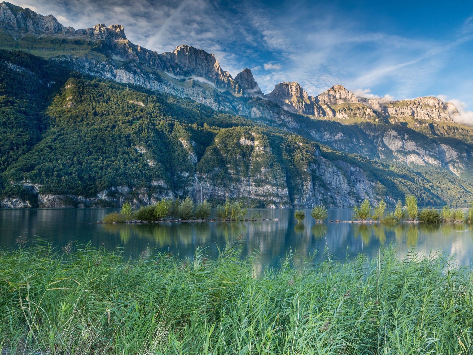
of Walenstadt. Passing through the linden tree forest, you reach the Alp Garadur. Above you, the geologically interesting Churfirsten will grab your attention. As a result of a thrust fault, older layers of stone are located above newer ones here. After the descent through the woods, the path follows the edge of the lake to Quinten.
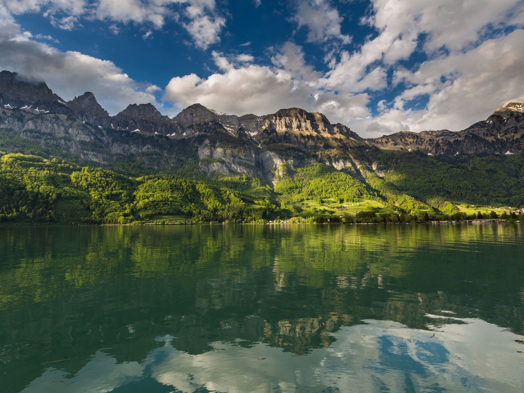
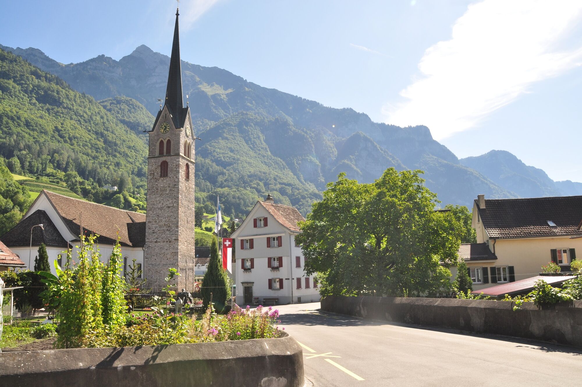
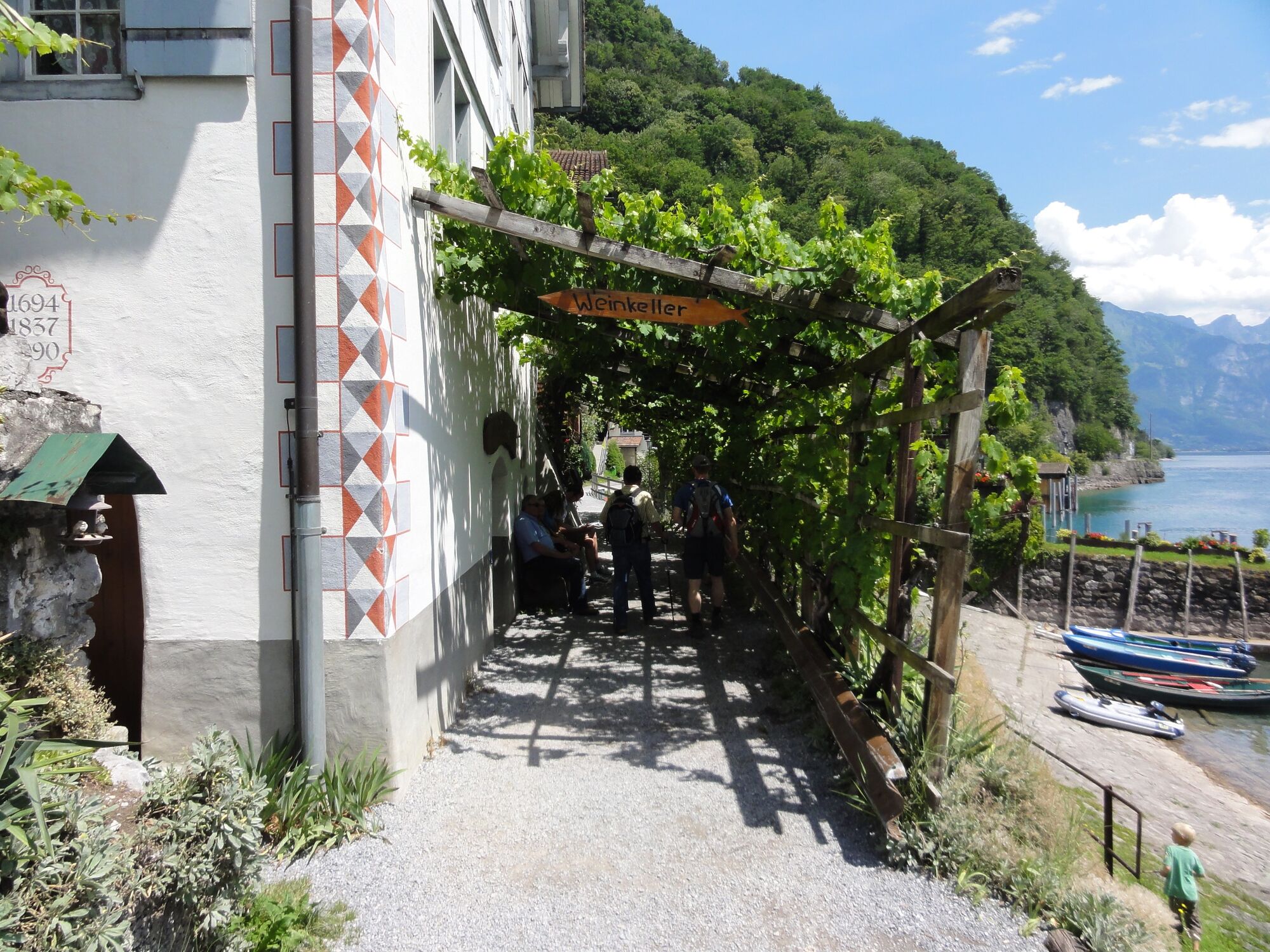
Quinten is also referred to as the Riviera of Eastern Switzerland. The area has an unusually mild climate due to its southern location and the fact that it is protected by almost-vertical mountains. It is not only grapes that grow here, but also figs, kiwifruits and other tropical fruits. You can enjoy an impressive view of the lake and mountains on a boat trip to Murg.
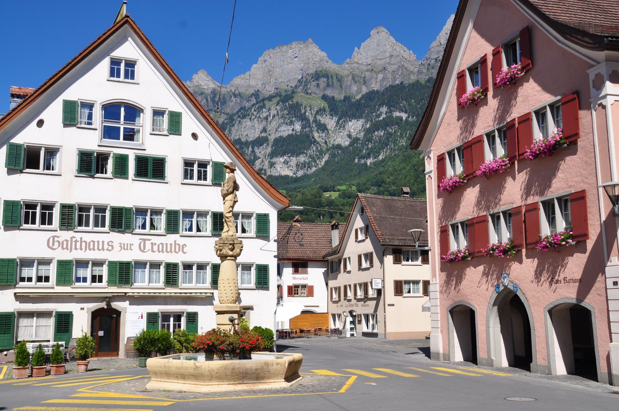
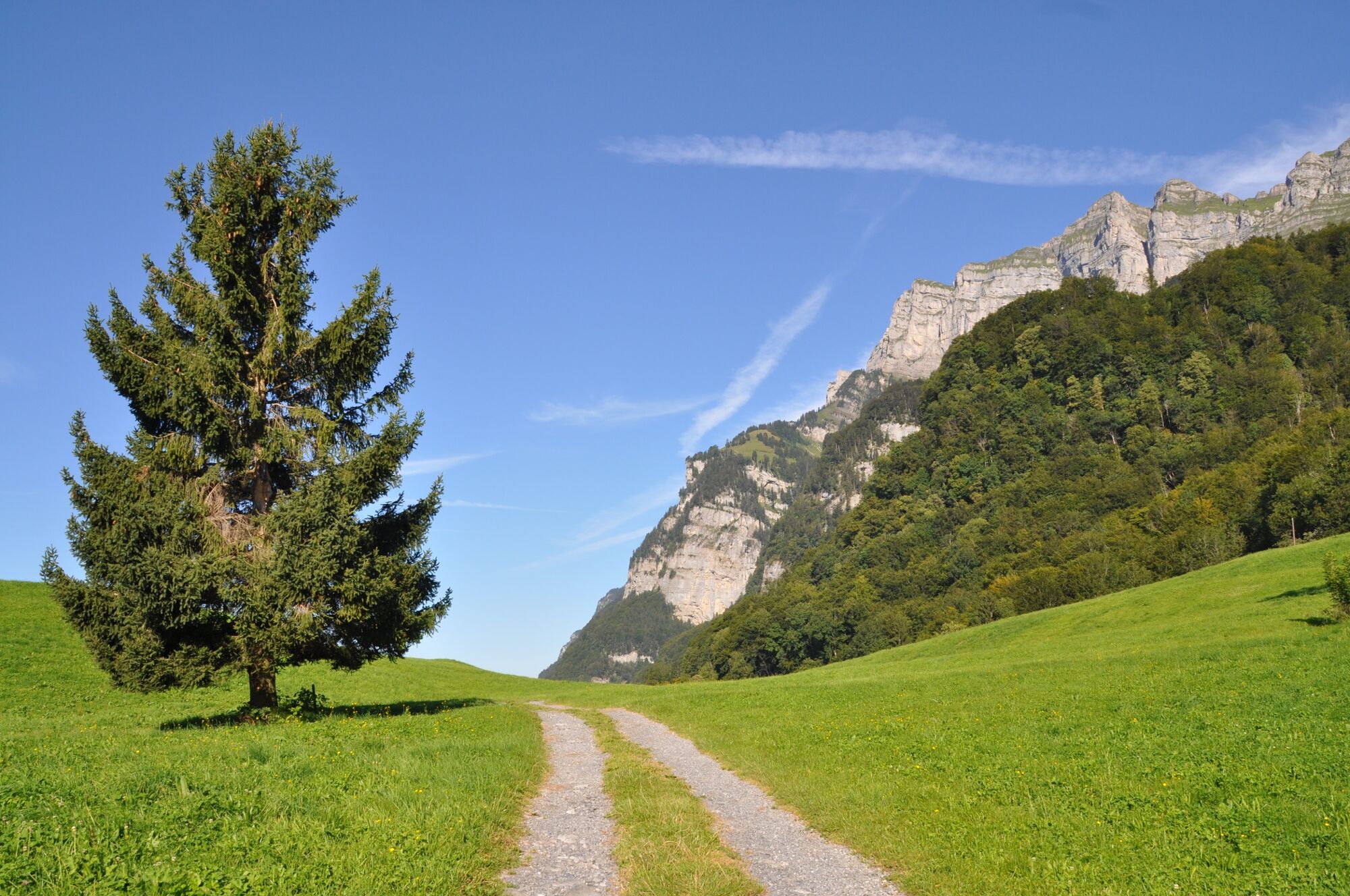
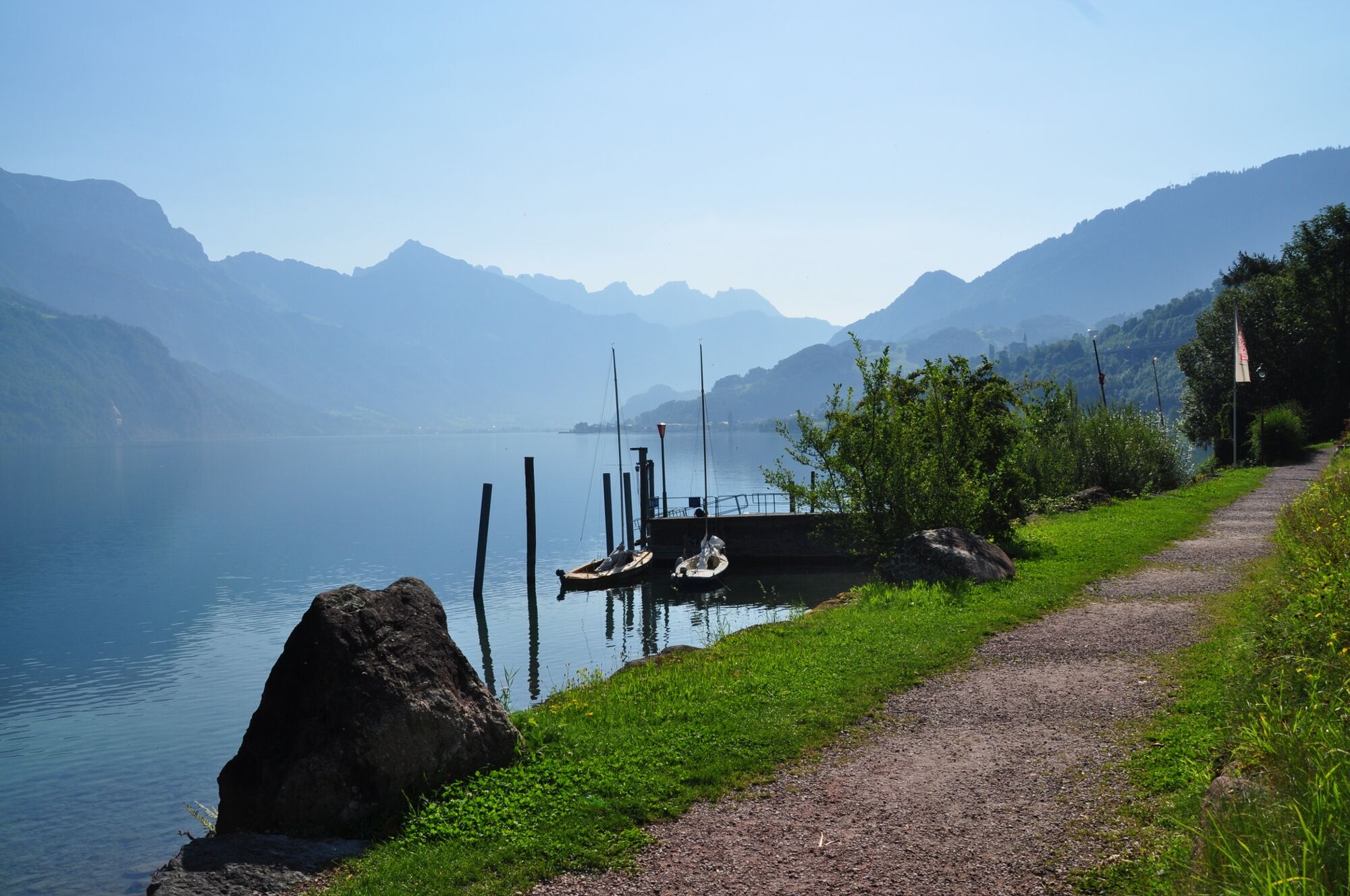
From Murg the path leads steadily upwards to Filzbach. Until 1851, it was only possible to get to Filzbach via a mule track, which parts of this route also follow. After this, the road over the Kerenzerberg was the only connection to Walenstadt, until the Walenseetrasse was opened in 1964. The end of the hike is reached in Weesen. A trip into the village with southern flair is worth the effort.
Note(s)
Regular shipping traffic Quinten - Murg (throughout the whole year).
See also
Heidiland Tourismus AG
Infostelle Unterterzen
Walenseestrasse 18
CH-8882 Unterterzen
Tel: +41 (0)81 720 17 17
Fax: +41 (0)81 720 17 18
E-Mail: unterterzen@heidiland.com
Internet: www.heidiland.com
Schiffsbetrieb Walensee AG
Gostenstrasse 11
CH-8882 Unterterzen
Tel: +41 (0)81 720 34 34
Fax: +41 (0)81 720 34 36
E-Mail: info@walenseeschiff.ch
Internet: www.walenseeschiff.ch - Directions
-
Walenstadt - Garadur - Au - Quinten - Murg - Erggeli - Geissegg - Walenguflen - Obstalden - Rütegg - Filzbach - Lihn - Weesen
- Highest point
- 840 m
- Endpoint
-
Weesen, Post
- Height profile
-
 © outdooractive.com

-

-
AuthorThe tour Walensee - Tour is used by outdooractive.com provided.
GPS Downloads


General info
Refreshment stop
A lot of view