
- Difficulty
-
difficult
- Rating
-
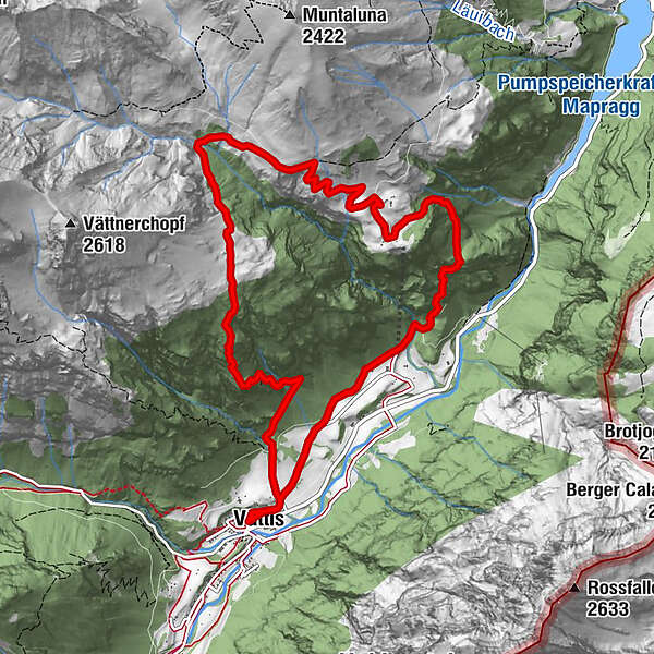
- Route
-
Hotel Restaurant Tamina0.0 kmVättis (943 m)0.0 kmVättnerberg5.1 kmHütten6.0 kmHotel Restaurant Tamina12.1 kmVättis (943 m)12.3 km
- Best season
-
JanFebMarAprMayJunJulAugSepOctNovDec
- Highest point
- 1,891 m
- Endpoint
-
Vättis, Postauto-Haltestelle Post
- Height profile
-
 © outdooractive.com


- Author
-
The tour Vättis - Vättnerberg - Ladils - Vättis is used by outdooractive.com provided.
GPS Downloads


General info
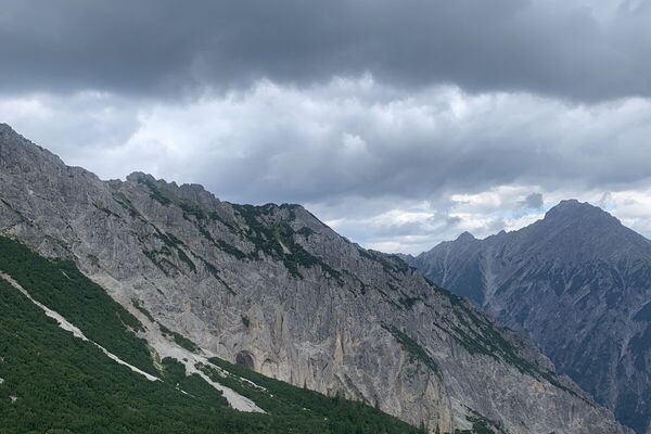
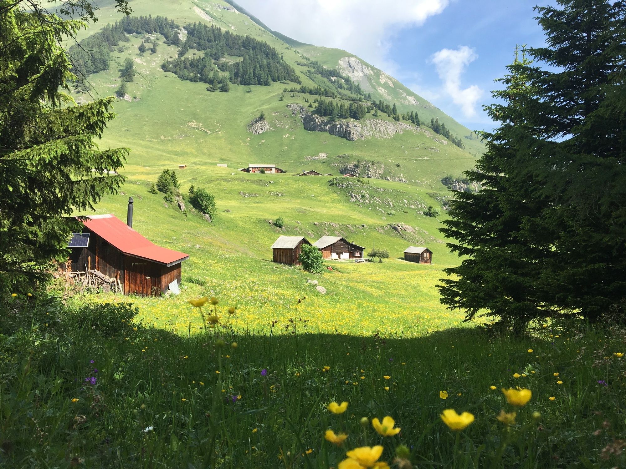
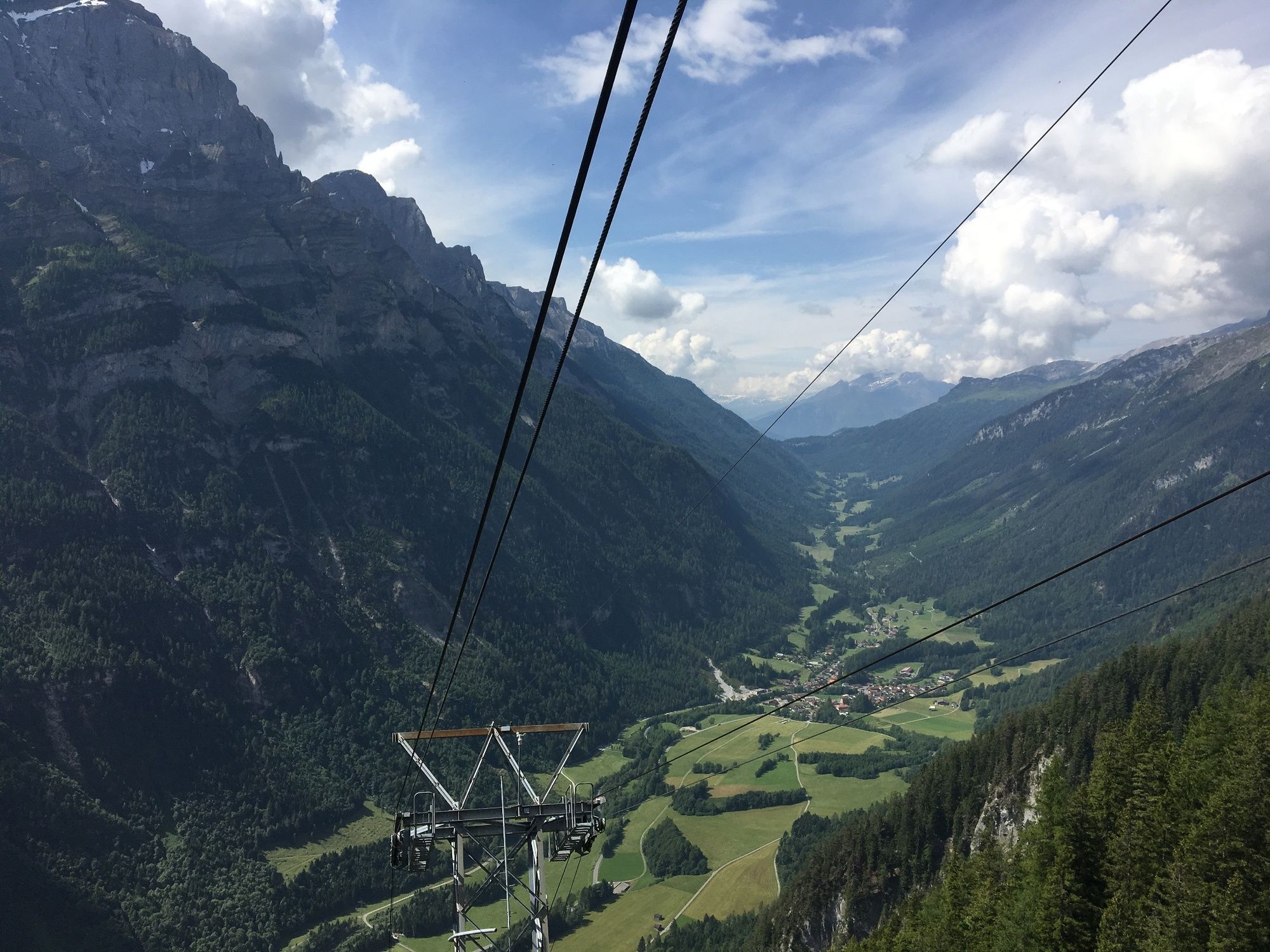
A lot of view