
- Brief description
-
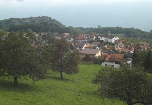
Easy hike above the valley basin of Sarganserland through the charming landscape of Wartau.
- Difficulty
-
difficult
- Rating
-
- Route
-
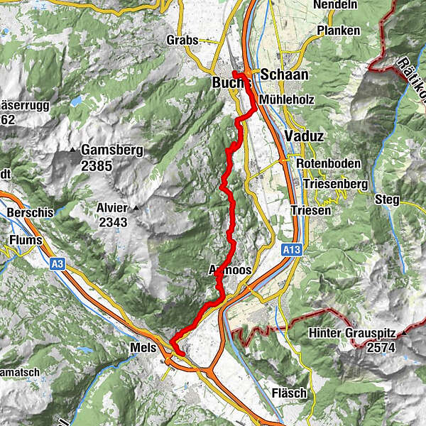
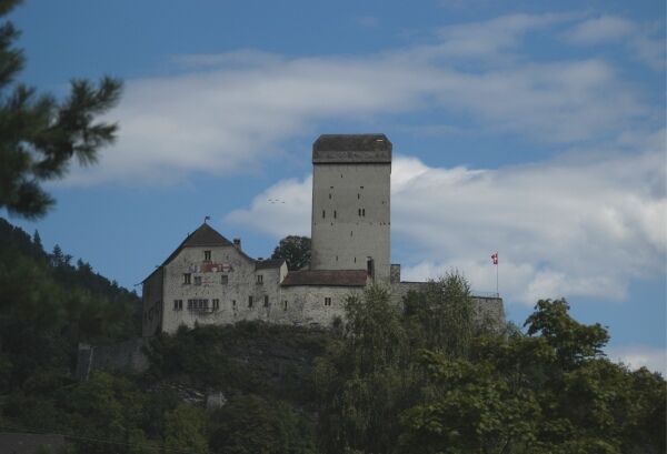
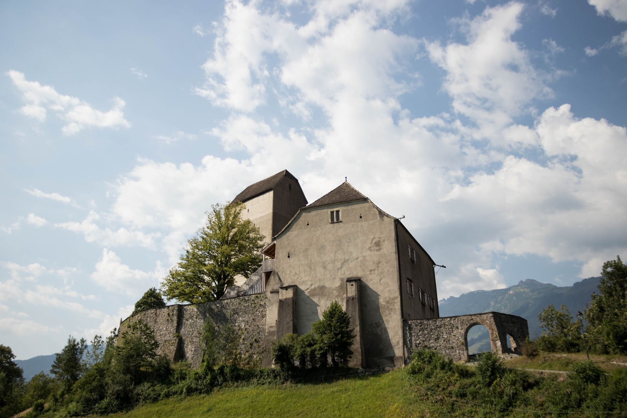
Sargans (482 m)Sargans (480 m)0.5 kmSplee-Kapelle St. Sebastian0.6 kmRestaurant Gonzenbergwerk2.3 kmVild2.4 kmAzmoos6.2 kmMalans SG8.1 kmOberschan8.9 kmBüelsteihof9.4 kmSchiessplatz Magletsch10.6 kmHof11.9 kmUntergass12.4 kmRans14.9 kmRäfis16.7 kmBuchs (448 m)19.5 kmBuchs SG (447 m)19.6 km
- Highest point
- 714 m
- Endpoint
-
Buchs, Bahnhof
- Height profile
-
 © outdooractive.com
- Author
-
The tour Sargans - Oberschan - Buchs is used by outdooractive.com provided.
GPS Downloads


General info
Refreshment stop
Other tours in the regions
-
Heidiland
2201
-
Werdenberg
1185
-
Oberschan
264