© Appenzellerland Tourismus AR - Celina Bernhart

© Appenzellerland Tourismus AR - Nina Ergens
© Appenzellerland Tourismus AR - Nina Ergens
- Brief description
-
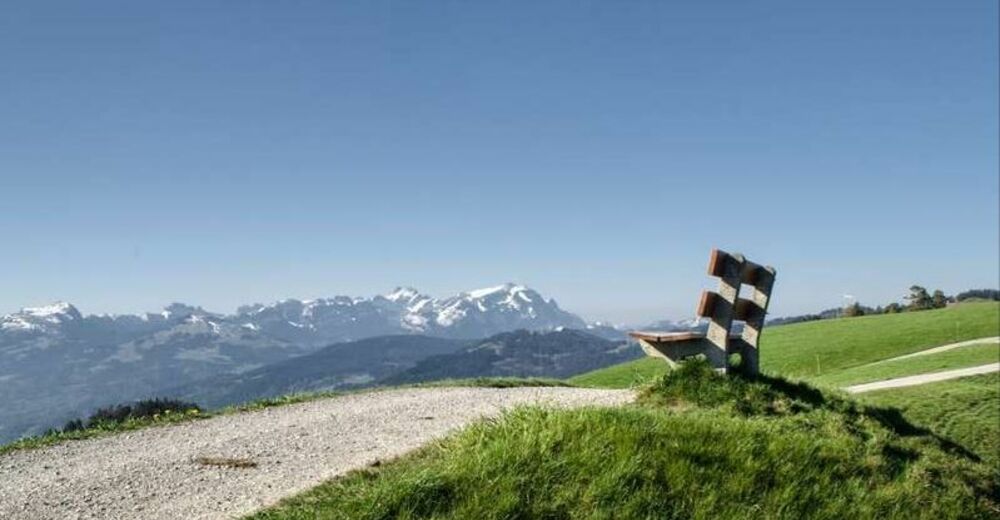
The health trail (Gesundheitsweg) in the Appenzell Foreland.
- Difficulty
-
difficult
- Rating
-
- Starting point
-
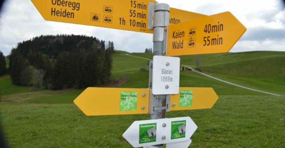
Heiden station
- Route
-
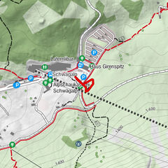
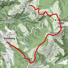
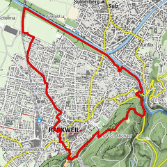
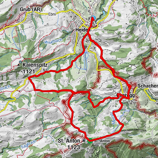
Heiden (794 m)0.1 kmHeiden0.6 kmOberegg (870 m)3.5 kmSt. Anton6.1 kmKapelle St. Anton6.1 kmSt.Anton6.1 kmSt. Anton6.4 kmSt. Anton (1,123 m)6.6 kmWirtschaft Rütegg8.3 kmRütegg8.3 kmRössli10.3 kmKaien10.3 kmMineralbad11.0 kmHeiden13.3 kmOberegg (870 m)17.3 km
- Best season
-
JanFebMarAprMayJunJulAugSepOctNovDec
- Description
-
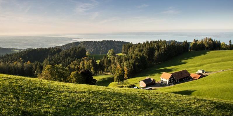
Gentle hills, lush green pastures, scattered hamlets – characteristics of the Appenzellerland’s pristine and healthy countryside. Enjoy the typical Appenzell landscape, wonderful views of the Vorarlberg region and Lake Constance, as far as the Allgäu region of Germany. On this herb-themed walk, you discover that the best medicine comes from Mother Nature.
The health trail comprises four individual routes. Decide for yourself which one you find most attractive!
- Directions
-
The health trail consists of four different routes. Decide for yourself which stage suits you best!
- Highest point
- 1,107 m
- Endpoint
-
Heiden
- Height profile
-
 © outdooractive.com
 - Equipment
-
Good footwear, hiking or trekking shoes
- Tips
-
The health trail consists of four different routes. Decide for yourself which stage suits you best!
- Additional information
- Directions
-
A1 in St. Gallen, exit "St. Gallen Neudorf", then direction Heiden - A1 in the Rhine Valley in Rheineck, exit "Rheineck", then direction Wolfhalden, Heiden.
- Public transportation
-
Take the Appenzell railroads or the post bus to Heiden.
- Parking
-
Parking is available in Heiden.


- Author
-
The tour Gesundheitsweg - health trail is used by outdooractive.com provided.
GPS Downloads


General info
Refreshment stop
Other tours in the regions
-
St. Gallen - Bodensee
2066
-
St. Galler Rheintal
1333
-
Heiden
204