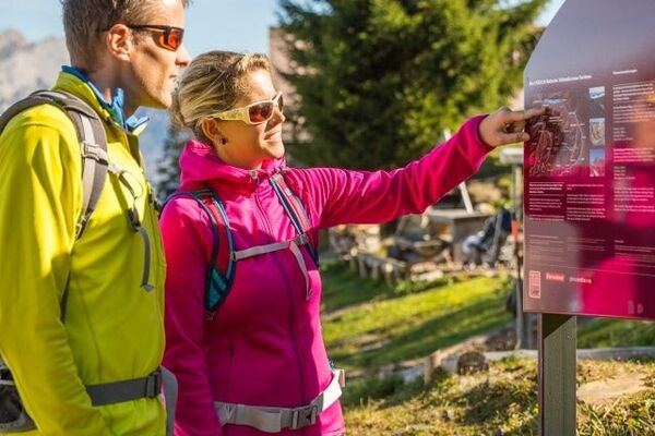
Alpine trail in Mels

Logo Alpine trail in Mels
Tour data
2.36km
1,175 - 1,276m
Distance
121hm
106hm
Ascent
01:00h
 
Duration
Brief description

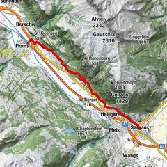
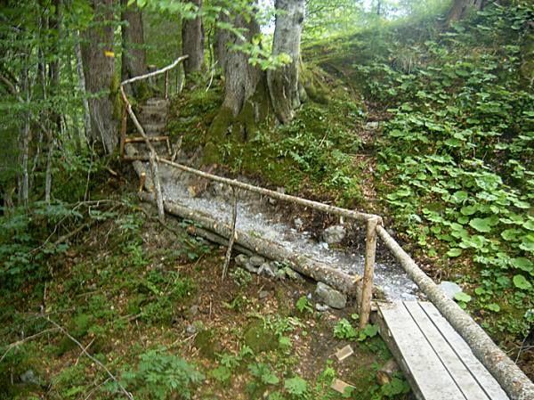
Circular trail through the Melser Alps.

Difficulty
easy
Rating
Technique
Fitness
Landscape
Experience

Highest point
1,276 m
Endpoint

Weisstannen, Alp Vorsiez

Height profile
© outdooractive.com

Author
The tour Alpine trail in Mels is used by outdooractive.com provided.

Overall rating

5

0

%

4

0

%

3

0

%

2

0

%

1

0

%

Error
An error has occurred. Please try again.
Thank you for your review

Rating has been deleted

GPS Downloads
  • GPX GPS Exchange Format (XML)
  • KML Google Earth, Google Maps
QR Download Codes for Mobile Phones
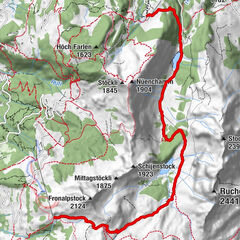
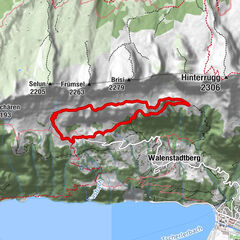
Other tours in the regions

Popular tours in the area

UNESCO Geophenomena Trail Kerenzerberg

medium Thematic route
9.31km | 705hm | 03:30h

Jubilee Route: 1250th Anniversary Flums, Mels, Sargans

medium Thematic route
11.67km | 396hm | 03:30h

Ibex nature trail

easy Thematic route
1.81km | 57hm | 00:30h

Schrina Alp and Cultural Trail

medium Thematic route
7.84km | 492hm | 03:45h