- Brief description
-
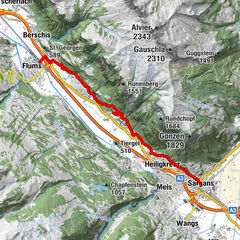
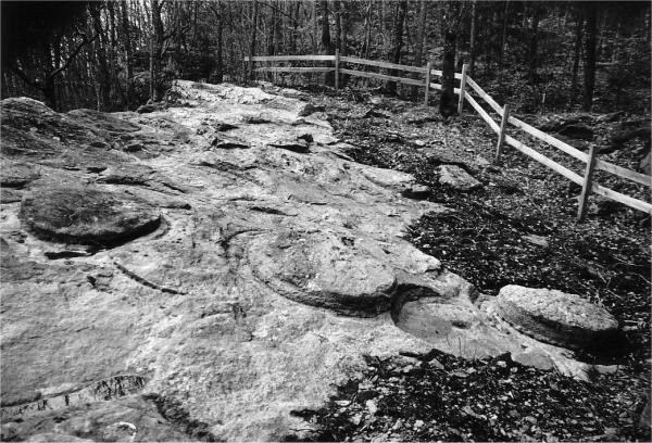
On the way to places of stone extraction, glass and iron smelting and prehistory. The Melser Geoweg leads through the village centre of Mels as well as through relaxing forest areas.
- Difficulty
-
medium
- Rating
-
- Route
-
Mels (497 m)Heiligkreuz (485 m)0.1 kmLourdes-Grotte0.3 kmPlons1.4 kmSt.Martin3.1 kmSt.Martin4.5 kmRüfi4.7 kmMels (497 m)5.5 kmHarzloch6.0 km
- Best season
-
JanFebMarAprMayJunJulAugSepOctNovDec
- Highest point
- 634 m
- Endpoint
-
Mels, Säge
- Height profile
-
 © outdooractive.com
- Author
-
The tour Geo path in Mels is used by outdooractive.com provided.
GPS Downloads


General info
Refreshment stop
Other tours in the regions
-
Heidiland
2208
-
Heidiland / Graubünden
899
-
Mels
240