© Appenzellerland Tourismus AR - Jana Bacher

© Appenzellerland Tourismus AR - Jana Bacher

© Appenzellerland Tourismus AR - Jana Bacher
- Brief description
-
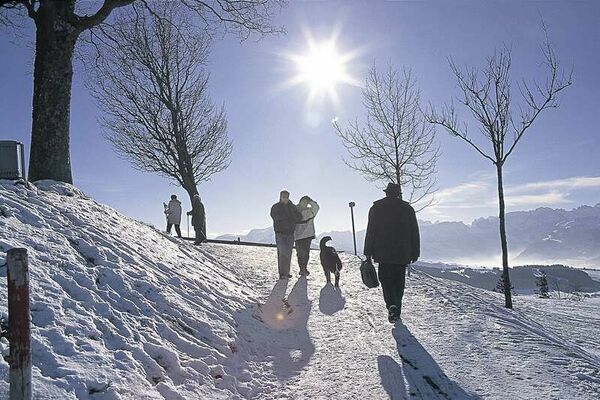
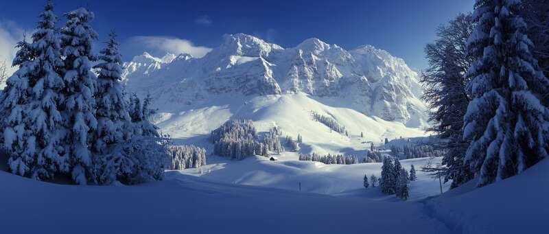
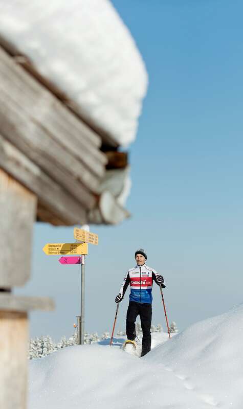
The route takes you through a landscape in hibernation.
- Difficulty
-
difficult
- Rating
-
- Starting point
-
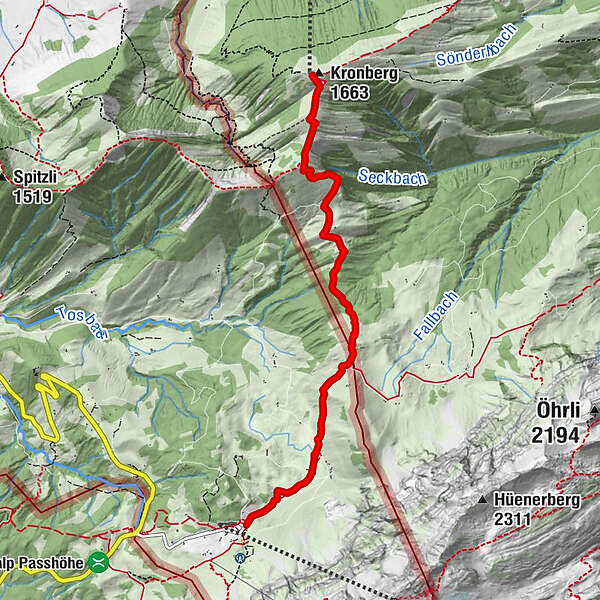
Schwägalp
- Route
-
SchwägalpSiebenhütten0.8 kmChammhaldenhütte2.0 kmBruggerwald2.7 kmSchutzenälpli3.3 kmKronberg (1,663 m)5.2 kmBerggasthaus Kronberg und Bergstation5.2 km
- Best season
-
AugSepOctNovDecJanFebMarAprMayJunJul
- Description
-
This tour starts at the foot of the Säntis at the Schwägalp mountain restaurant. Across snow-covered pastures, the trail follows the existing network of hiking trails (though not groomed) to the SAC hut Chammhalde. Through an idyllic forest and across the moorland (watch out for melt water), the route then heads towards Kronberg. The unique landscape is particularly impressive in winter. Time and again the route passes an alp in hibernation. Always with the Säntis behind you, you approach the Kronberg; the last section of the trail is the steepest.Attention: The tour for the "southern Appenzell hinterland" wildlife rest zone. The corresponding rules must be observed at all times. An information board at the start will provide you with information.
- Highest point
- 1,645 m
- Endpoint
-
Kronberg
- Height profile
-
 © outdooractive.com
 - Equipment
-
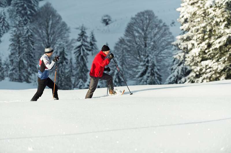
Snowshoes
- Additional information
- Author
-
The tour Uphill is used by outdooractive.com provided.
GPS Downloads


General info
A lot of view
Other tours in the regions
-
Appenzellerland
59
-
Ebenalp
42
-
Säntis / Schwägalp
30