© Appenzellerland Tourismus AR - Jana Bacher
© Appenzellerland Tourismus AR - Jana Bacher
© Appenzellerland Tourismus AR - Jana Bacher
- Brief description
-
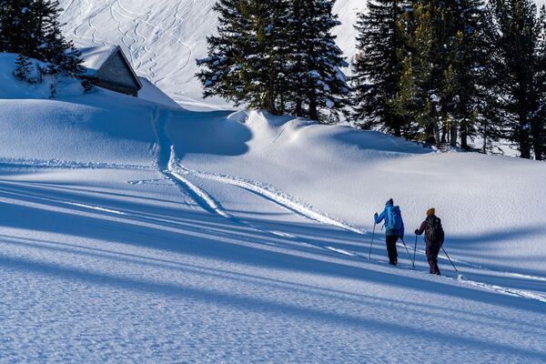
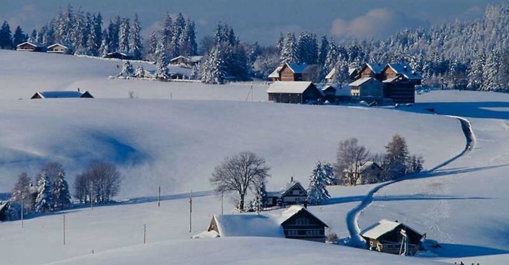
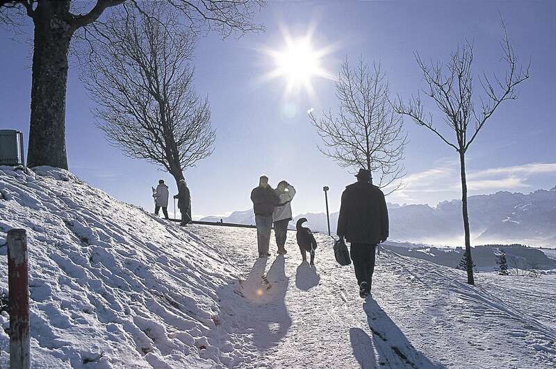
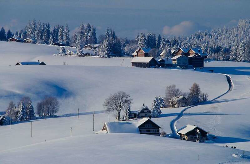
Hike through snow-covered landscapes.
- Difficulty
-
difficult
- Rating
-
- Route
-
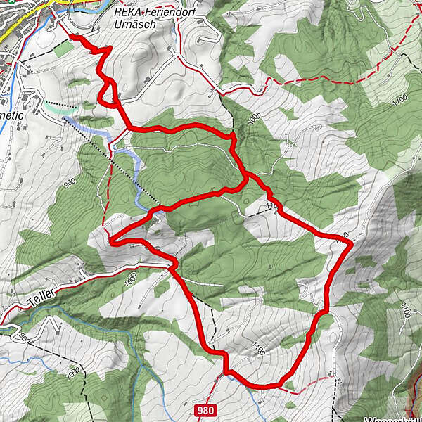
UrnäschBergwirtschaft Blattendürren4.2 kmBerghaus Osteregg6.0 kmSkilift Osteregg6.1 kmUrnäsch8.6 km
- Best season
-
AugSepOctNovDecJanFebMarAprMayJunJul
- Description
-
The starting point for this hike is at the Feld gymnasium. This trail leads via Oberfeld and Chräg to Zimmermannslauftegg and then via Schottendürren to Blattendürren. The trail continues via Strüssler to the Osteregg mountain restaurant. From there the trail leads via Oberfeld and Chräg to the starting point.
- Directions
-
Urnäsch Feld - Chräg - Oberhaumösli - Zimmermans-Lauftegg - Schottendürren - Blattendürren - Strüssler - Osteregg - Chräg - Urnäsch Feld
- Highest point
- 1,205 m
- Endpoint
-
Turnhalle Feld, Urnäsch
- Height profile
-
 © outdooractive.com
 - Equipment
-
Snowshoes
- Safety instructions
-
From Oberhausmösli to Blattendürren, snow drifts can cover the prepared trail with loose snow in between.
- Tips
-
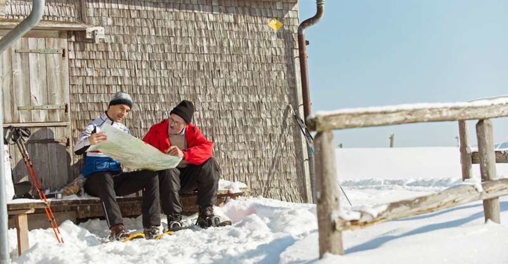
Blattendürren Mountain Restaurant
- Additional information

- Author
-
The tour Snowdrifts and cosiness is used by outdooractive.com provided.
GPS Downloads


General info
Refreshment stop
A lot of view
Other tours in the regions