- Brief description
-
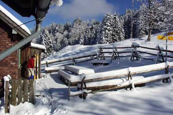
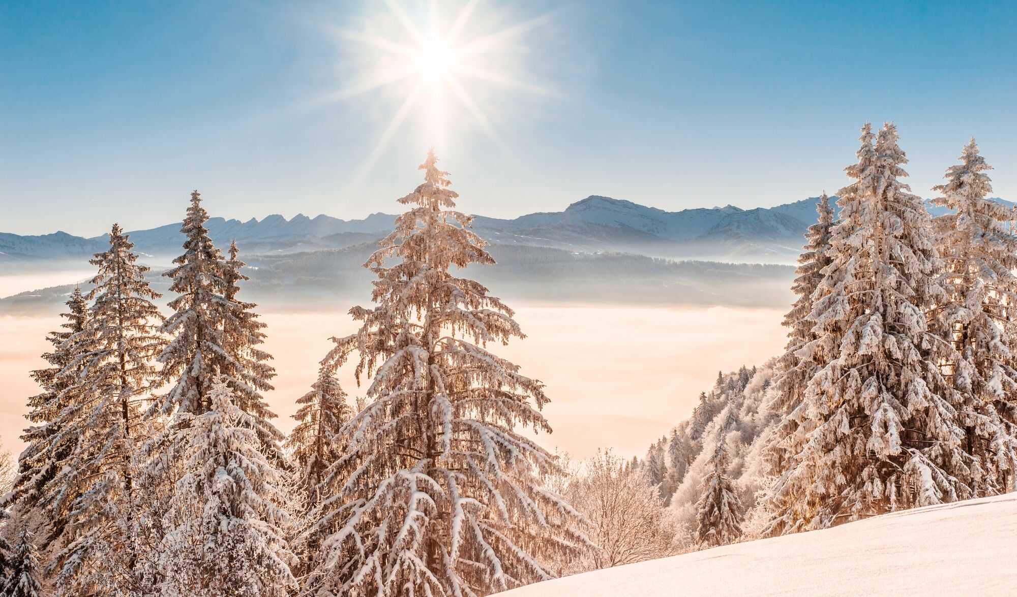
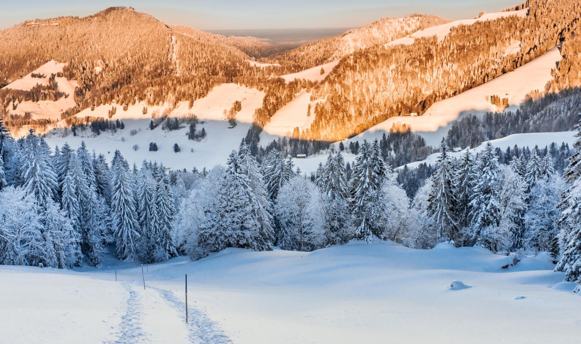
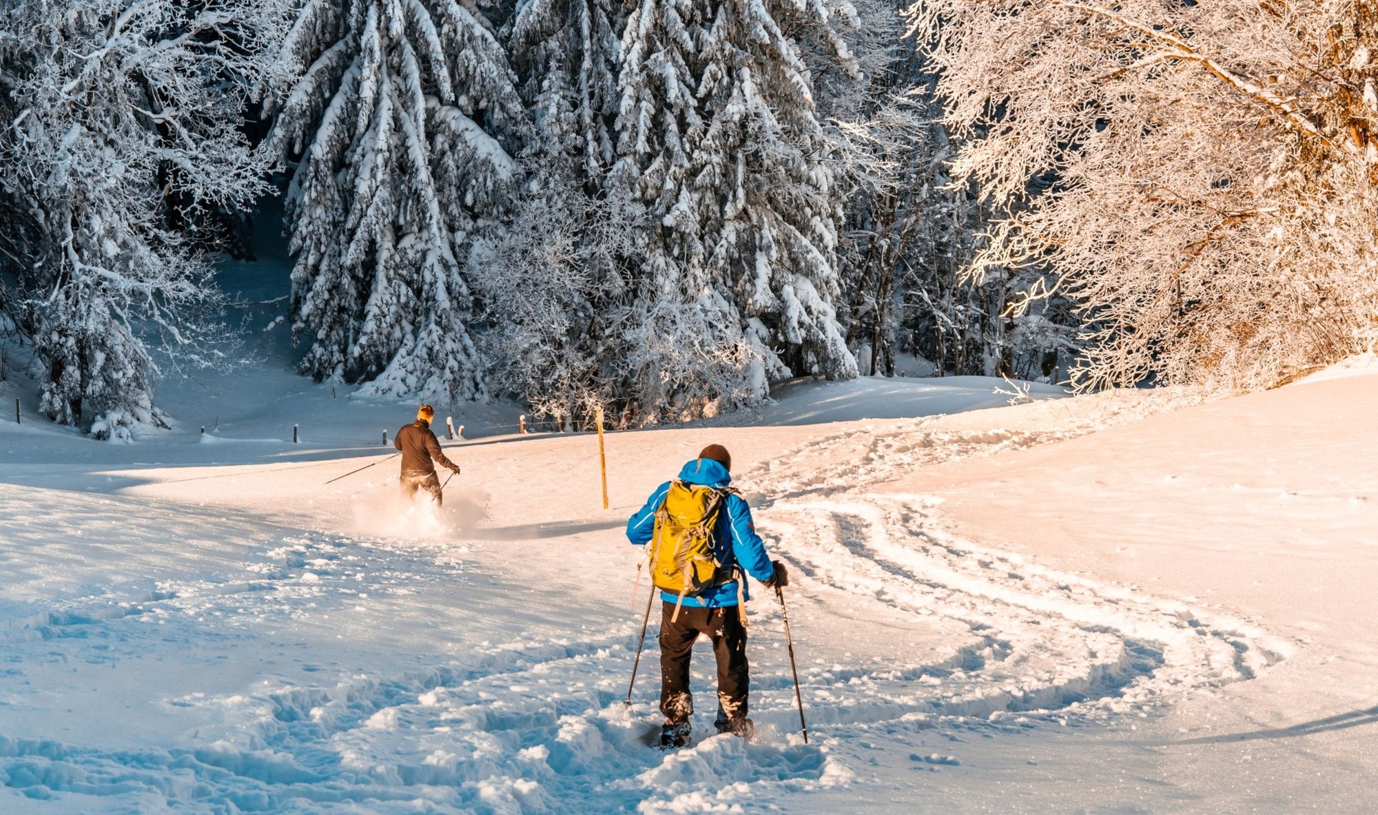
Im Atzmännig-Gebiet sind zwei Schneeschuh-Trails markiert, welche individuell begehbar und auch für Anfänger gut machbar sind. Diese leichtere Tour führt durch frisch verschneite Wälder.
- Difficulty
-
easy
- Rating
-
- Route
-
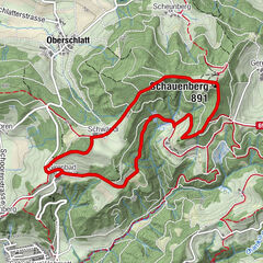
Schwammegg (1,282 m)0.6 kmHinteraltschwand2.0 kmAlpwirtschaft Altschwand2.1 kmAltschwand2.1 kmMittler Altschwand2.8 km
- Best season
-
AugSepOctNovDecJanFebMarAprMayJunJul
- Highest point
- 1,275 m
- Endpoint
-
Atzmännig, Schutt
- Height profile
-
 © outdooractive.com
-

-
AuthorThe tour Atzmännig – Altschwand – Atzmännig: «die Leichtere» is used by outdooractive.com provided.
GPS Downloads


General info
Refreshment stop
A lot of view
Other tours in the regions
-
Toggenburg
83
-
Goldingen - Atzmännig
53
-
Gommiswald
16