© Heidiland Tourismus - Ramona Saxer

- Brief description
-
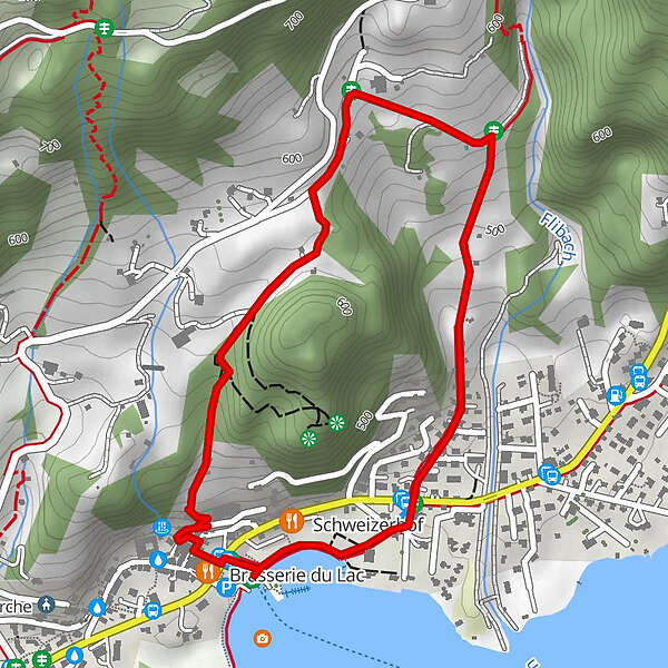
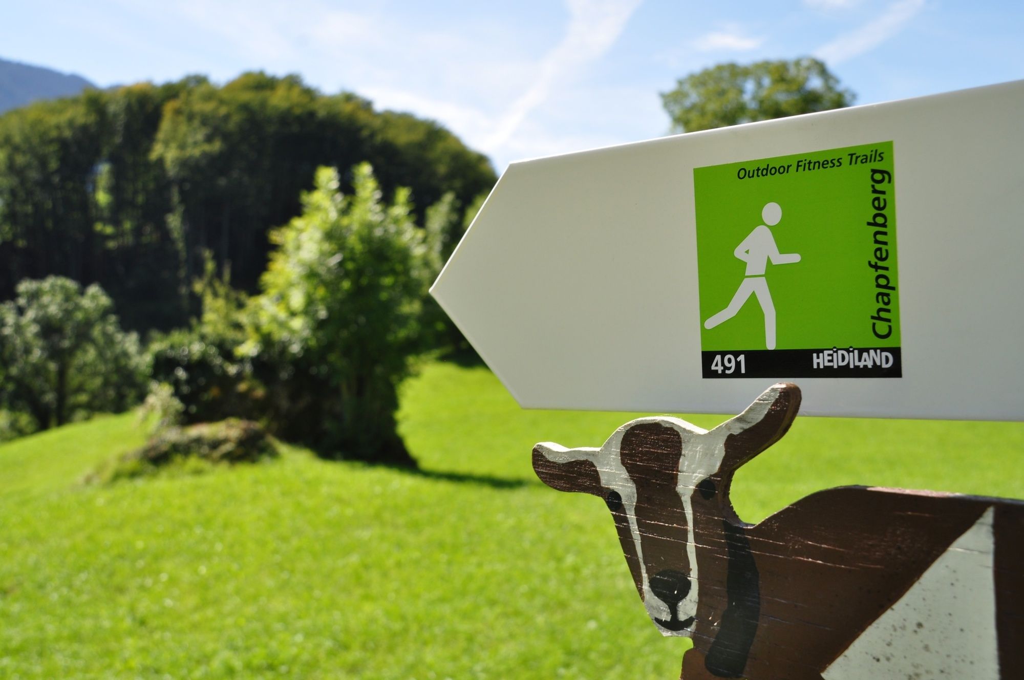
Short and hard! Although the Chapfenberg-Trail has a relatively short distance to cover, the trail is very tough. The ascent as well as the descent are short and heavy.
- Difficulty
-
easy
- Rating
-
- Route
-
Weesen (See) (424 m)Weesen (423 m)0.1 kmMietsack1.8 km
- Best season
-
JanFebMarAprMayJunJulAugSepOctNovDec
- Highest point
- 584 m
- Endpoint
-
Weesen, Infopoint der Station Weesen
- Height profile
-
 © outdooractive.com


-

-
AuthorThe tour Chapfenberg trail 491 is used by outdooractive.com provided.
GPS Downloads


General info
Refreshment stop
A lot of view
Other tours in the regions