© Heidiland Tourismus - Saskia Bauer

© Heidiland Tourismus - Saskia Bauer

© Heidiland Tourismus - Sereina Jost
© Heidiland Tourismus - Sereina Jost

© Heidiland Tourismus - Seilbahn Palfries

© Heidiland Tourismus - Ramona Saxer
© Heidiland Tourismus - Sereina Jost

© Heidiland Tourismus - Sereina Jost

- Brief description
-
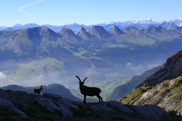
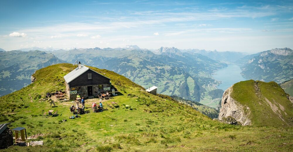
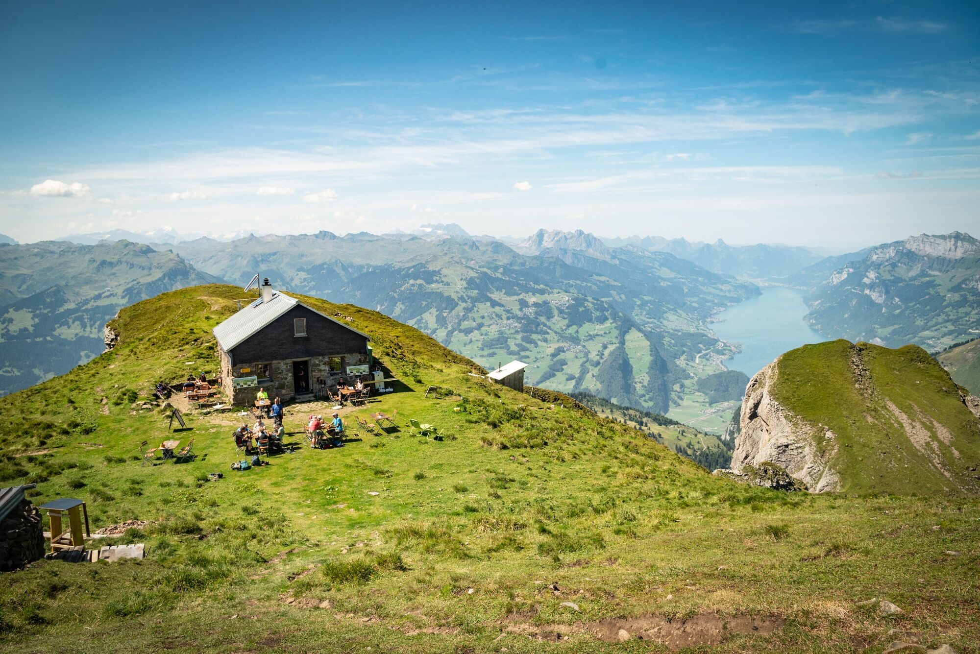
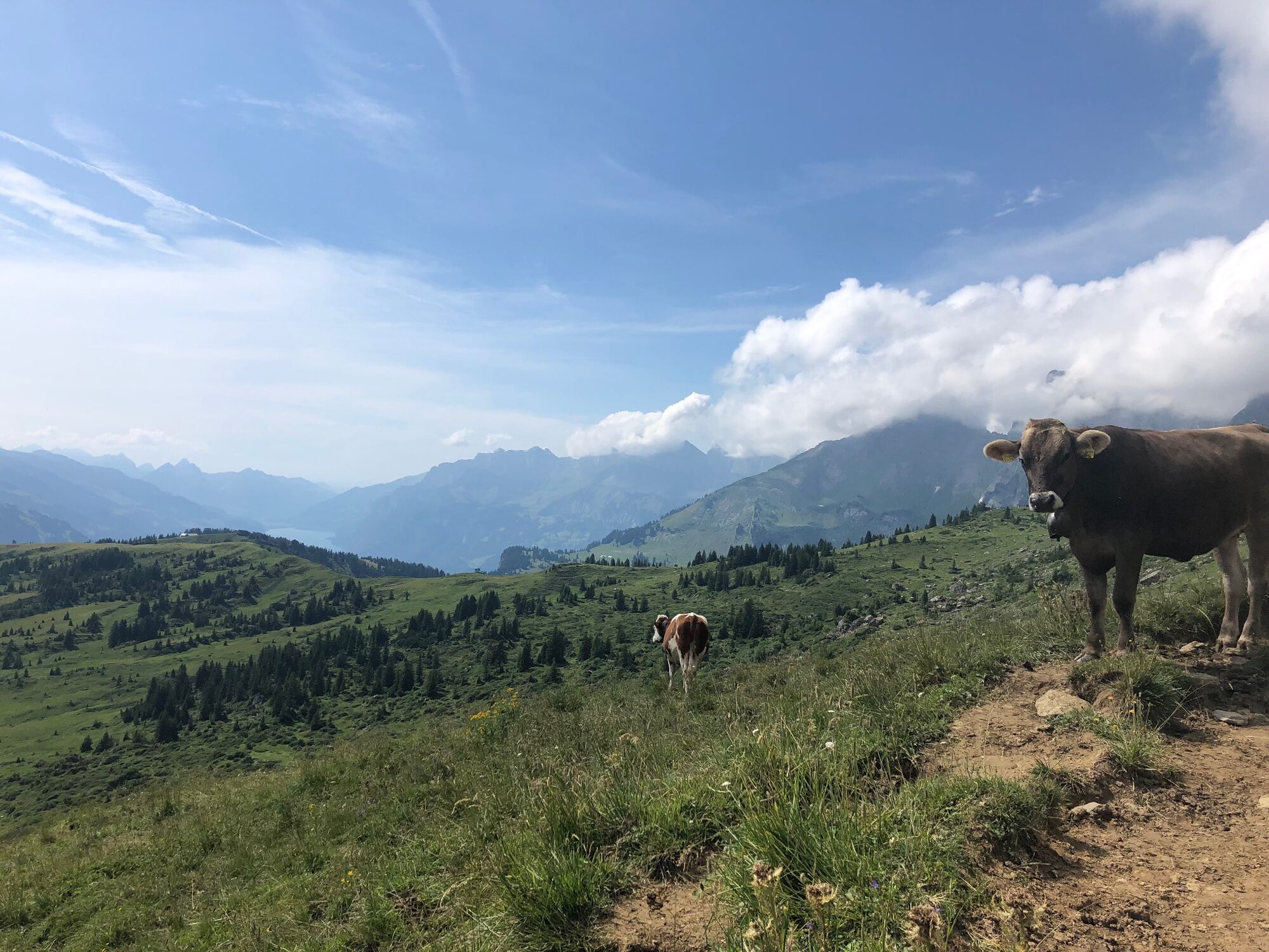
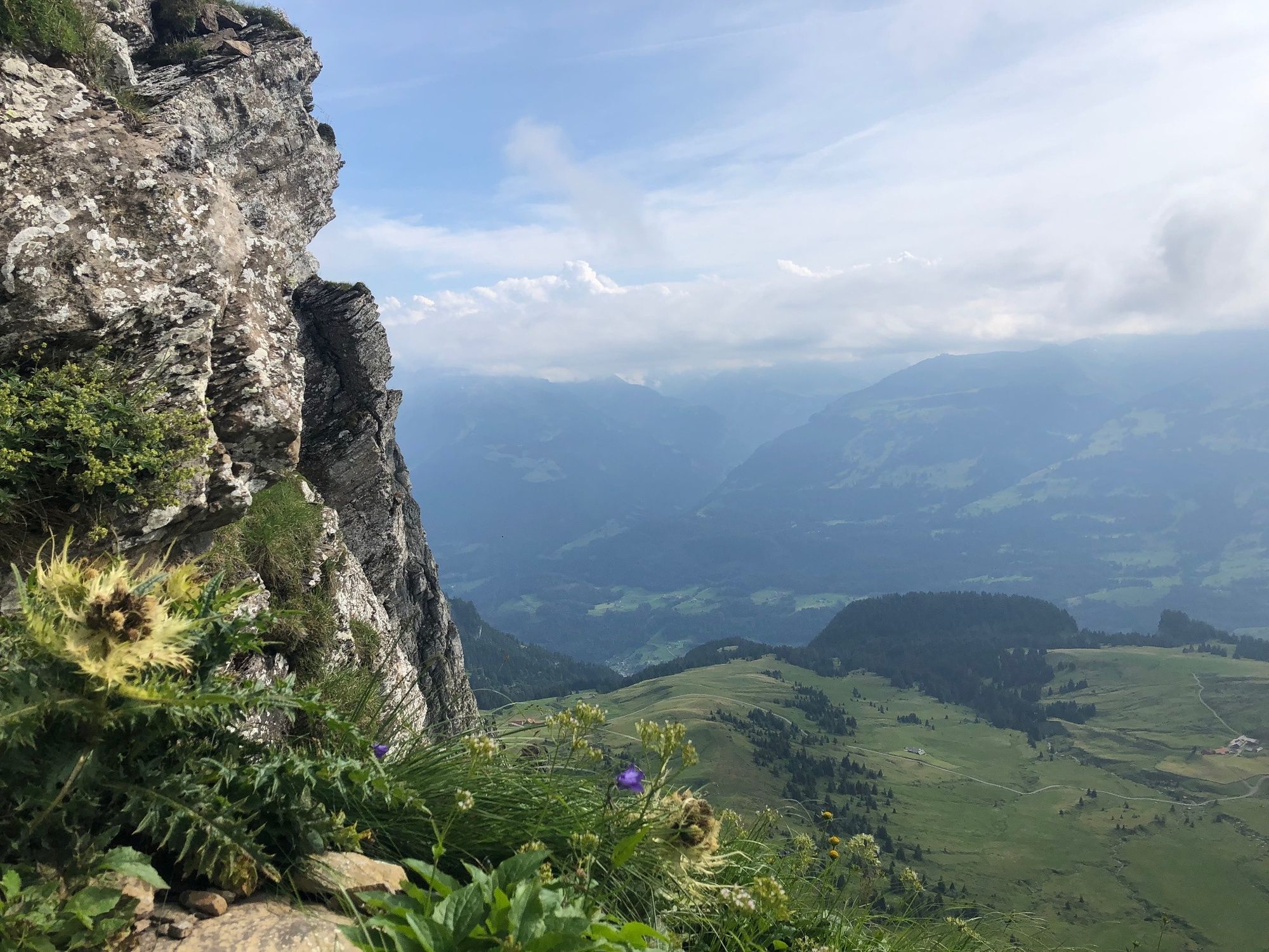
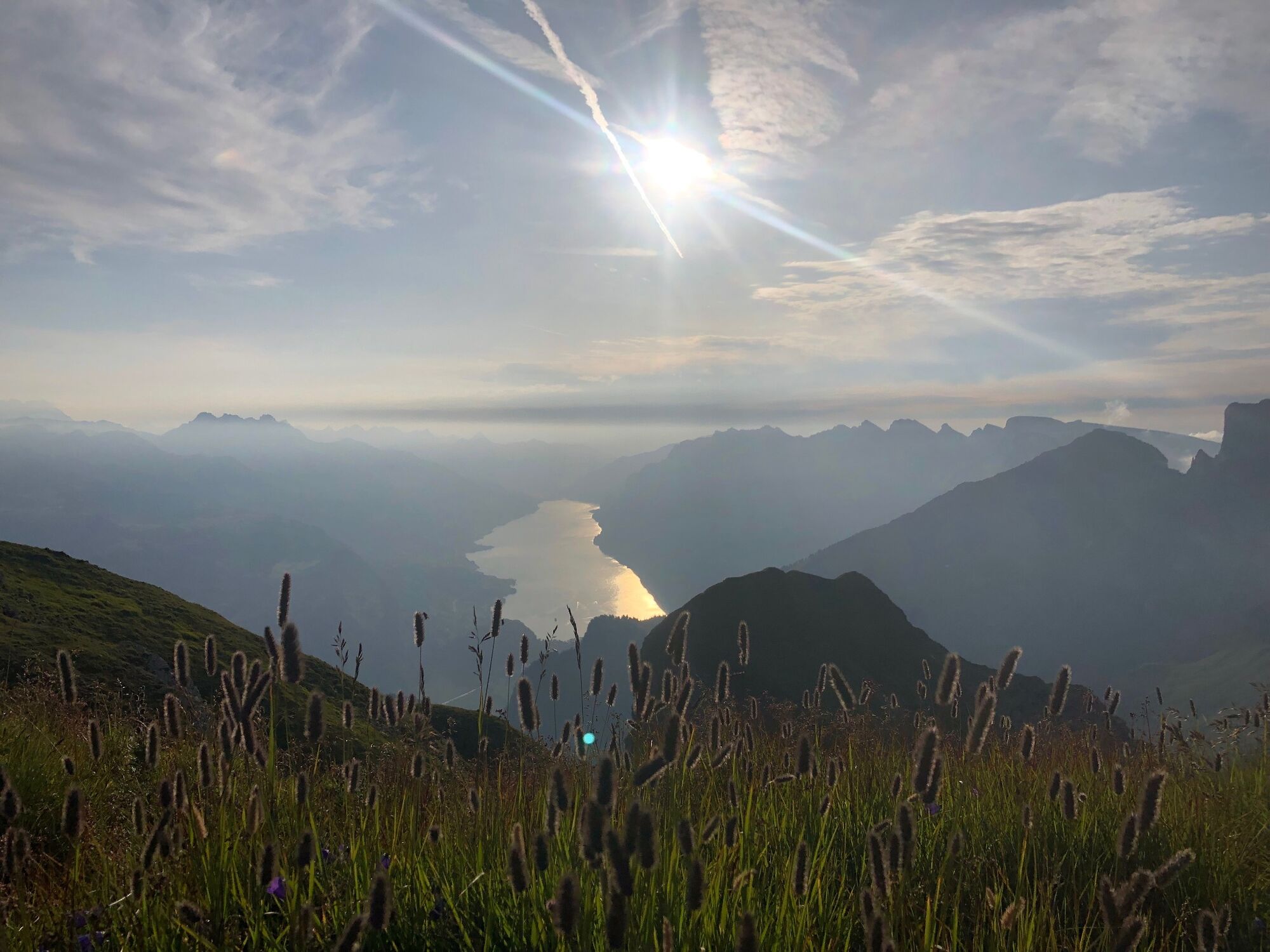
The Alvier summit hut at 2342 m above sea level east of Lake Walen is one of the best vantage points in eastern Switzerland.
- Difficulty
-
difficult
- Rating
-
- Route
-
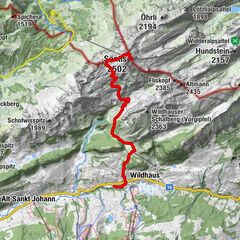
Berghaus Palfries0.5 kmSpalt (2,229 m)2.4 kmChemmi (2,185 m)2.7 kmGipfelhütte Alvier3.3 kmAlvier (2,343 m)3.3 km
- Best season
-
JanFebMarAprMayJunJulAugSepOctNovDec
- Highest point
- 2,323 m
- Endpoint
-
Alvierhütte
- Height profile
-
 © outdooractive.com

-

-
AuthorThe tour Mountain hut Alvier is used by outdooractive.com provided.
GPS Downloads


General info
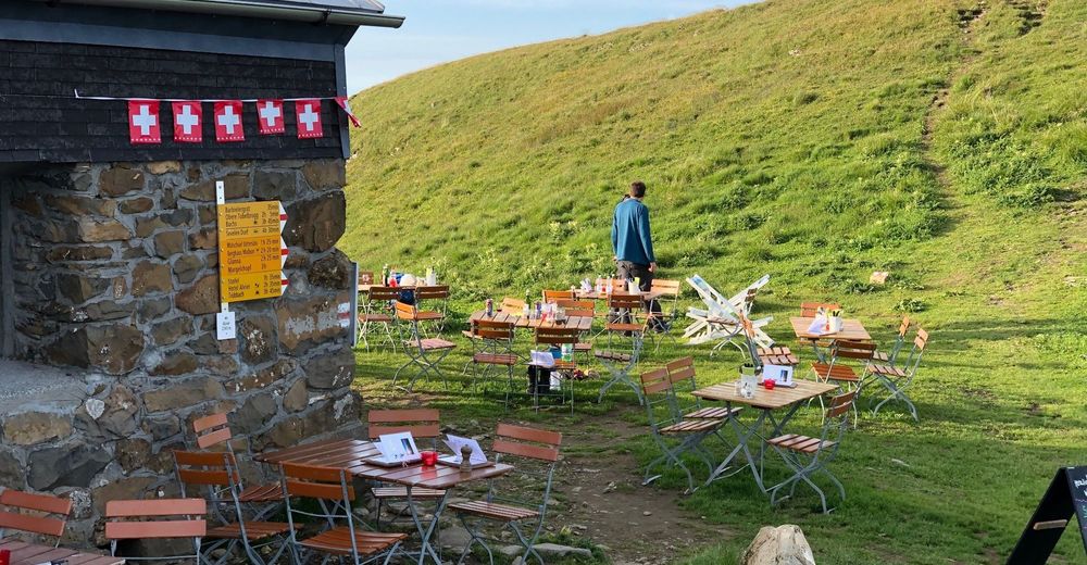
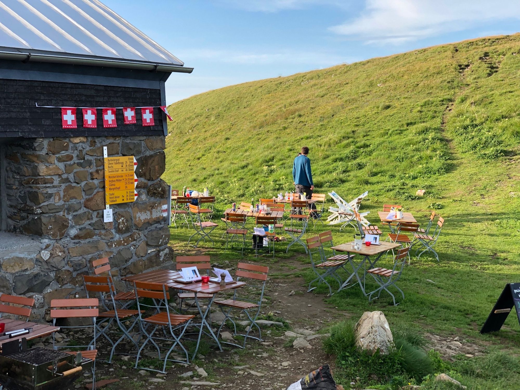
Refreshment stop
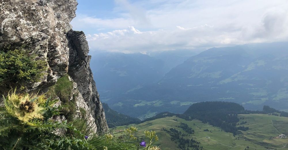
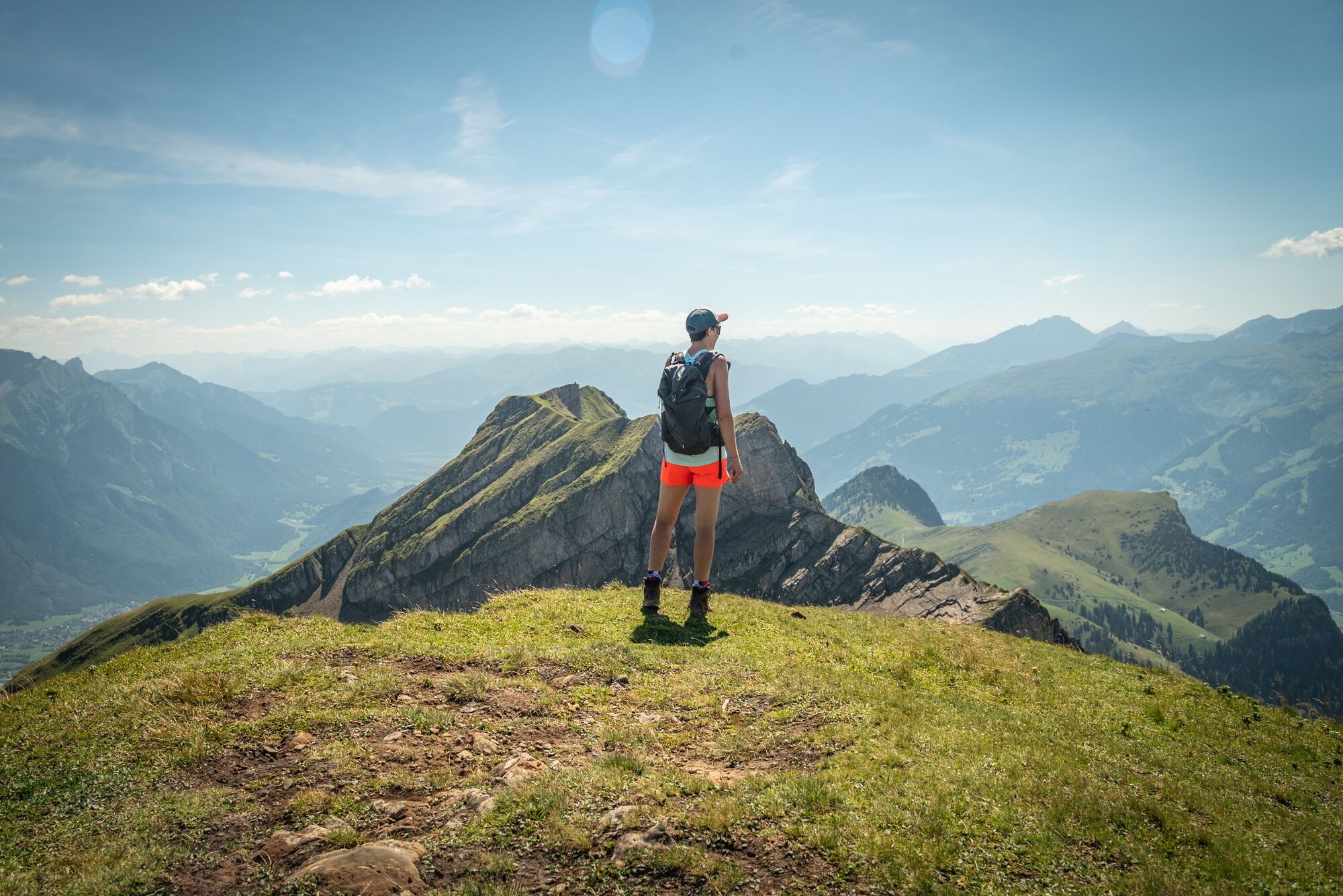
A lot of view
Other tours in the regions
-
Heidiland
2201
-
Heidiland / Graubünden
897
-
Mels
241