- Brief description
-
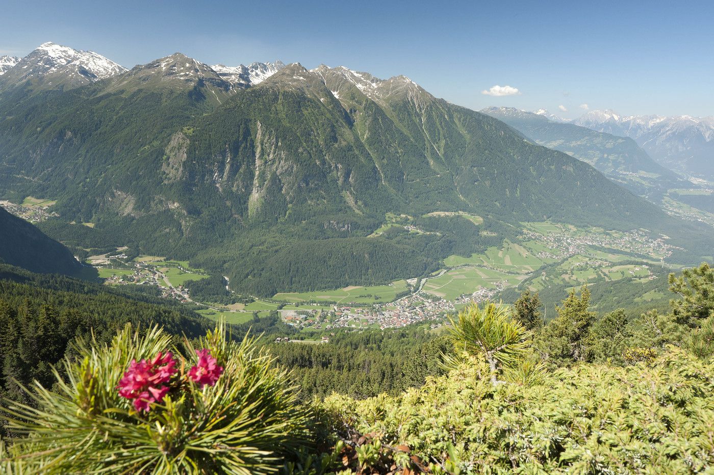
Beautiful view but steep area
- Difficulty
-
difficult
- Rating
-
- Starting point
-
Oetz
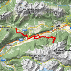
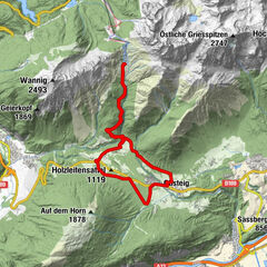
- Route
-
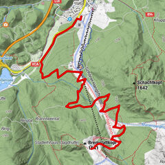
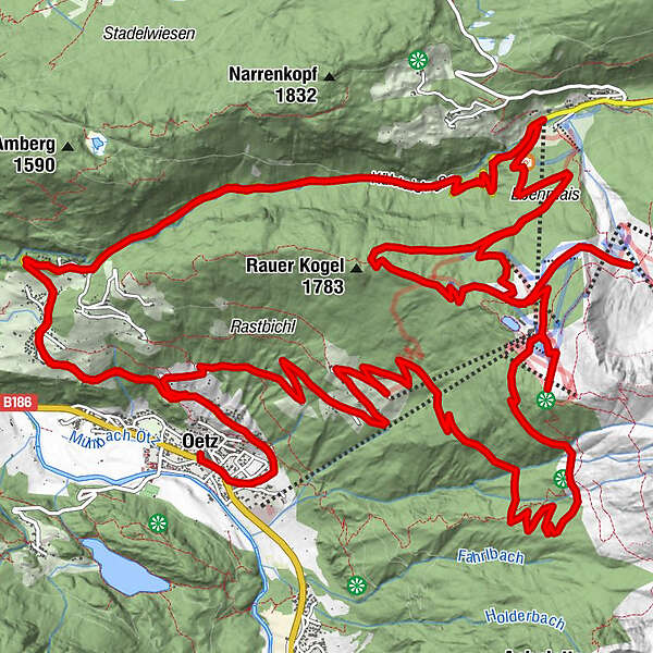
Oetz (812 m)0.0 kmKlingenburg2.0 kmSt. Antonius3.3 kmOetzerau3.4 kmMühlau4.6 kmOchsengarten (1,538 m)9.4 kmAcherkogelbahn Bergstation16.5 kmAlmwirtschaft Acherberg18.1 kmJausenstation Schönblick23.0 kmÖtzerberg23.1 kmWindegg23.6 kmSeite24.5 kmRiedeben25.8 kmKlingenburg27.0 kmOetzerau29.0 kmMühlau30.3 kmOchsengarten (1,538 m)35.1 kmKühtaile Alm38.6 kmBalbach Alm39.4 km
- Best season
-
JanFebMarAprMayJunJulAugSepOctNovDec
- Description
-
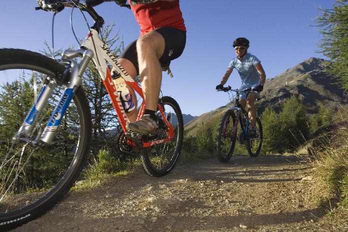
One of the classic mountain bike routes in the lower Ötztal valley, covering 30 km and challenging 1480 meters of altitude gain. Ambitious bikers in a very good physical shape can master this trail without difficulty.
The first stage leads to Hochoetz, a quite renowned route among mountain bikers due to its steeply winding asphalt road to Kühtai pass. This is also a part of the Ötztaler Cycle Marathon. At the height of Ochsengarten you turn into the strenuous gravel path in the direction of Bielefelder Hütte. The switch-backing ascent is really demanding and there is almost no time for taking a deep breathe. The hut at 2104 m above sea level is the highest point of the tour. Enjoy breathtaking panoramic views of the Ötztal and lake Piburger See.
Before you start the speedy downhill you are strongly recommended to check your brakes again. The steep descent can be very challenging in some sections as you conquer no less than 1480 meters of elevation loss.
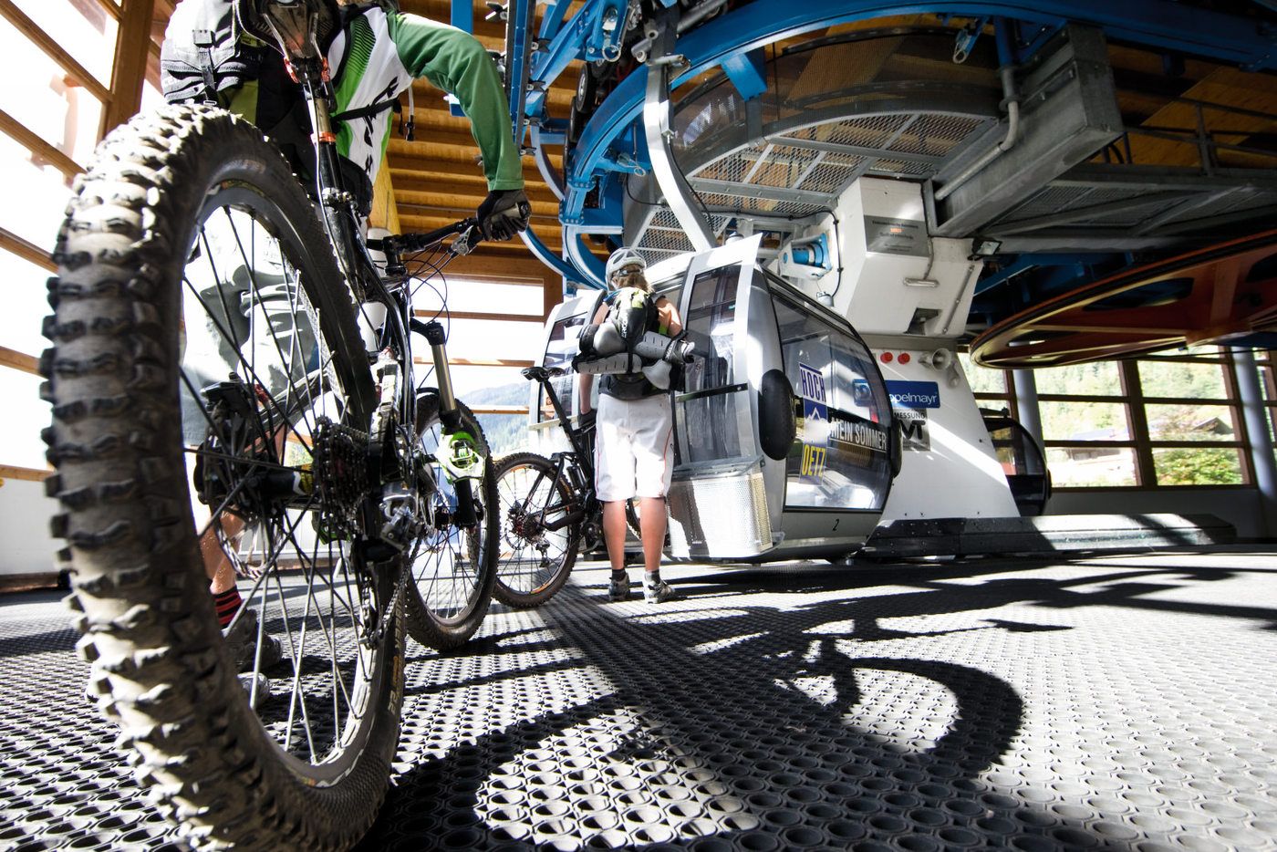
In summer you can also take the cable car up to Hochoetz!
- Highest point
- 2,104 m
- Alternatives
-
From June to October you can use the cable car to go up on 2.020 m
- Rest/Retreat
-
Restaurants in Oetz and in the hiking area Hochoetz
- Ticket material
-
free Bike map available in all Tourist Offices in the Ötztal Valley


Surfaces
-
Mieminger Plateau & Inntal
398
-
Oetz
81