© Gemeinde Gaflenz

© Gemeinde Gaflenz

© Gemeinde Gaflenz

- Brief description
-
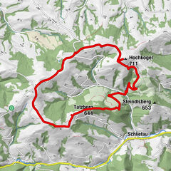
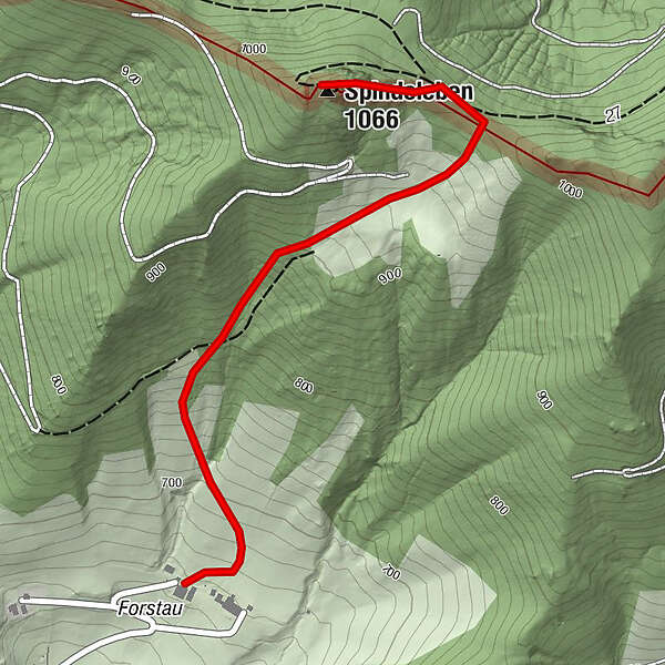
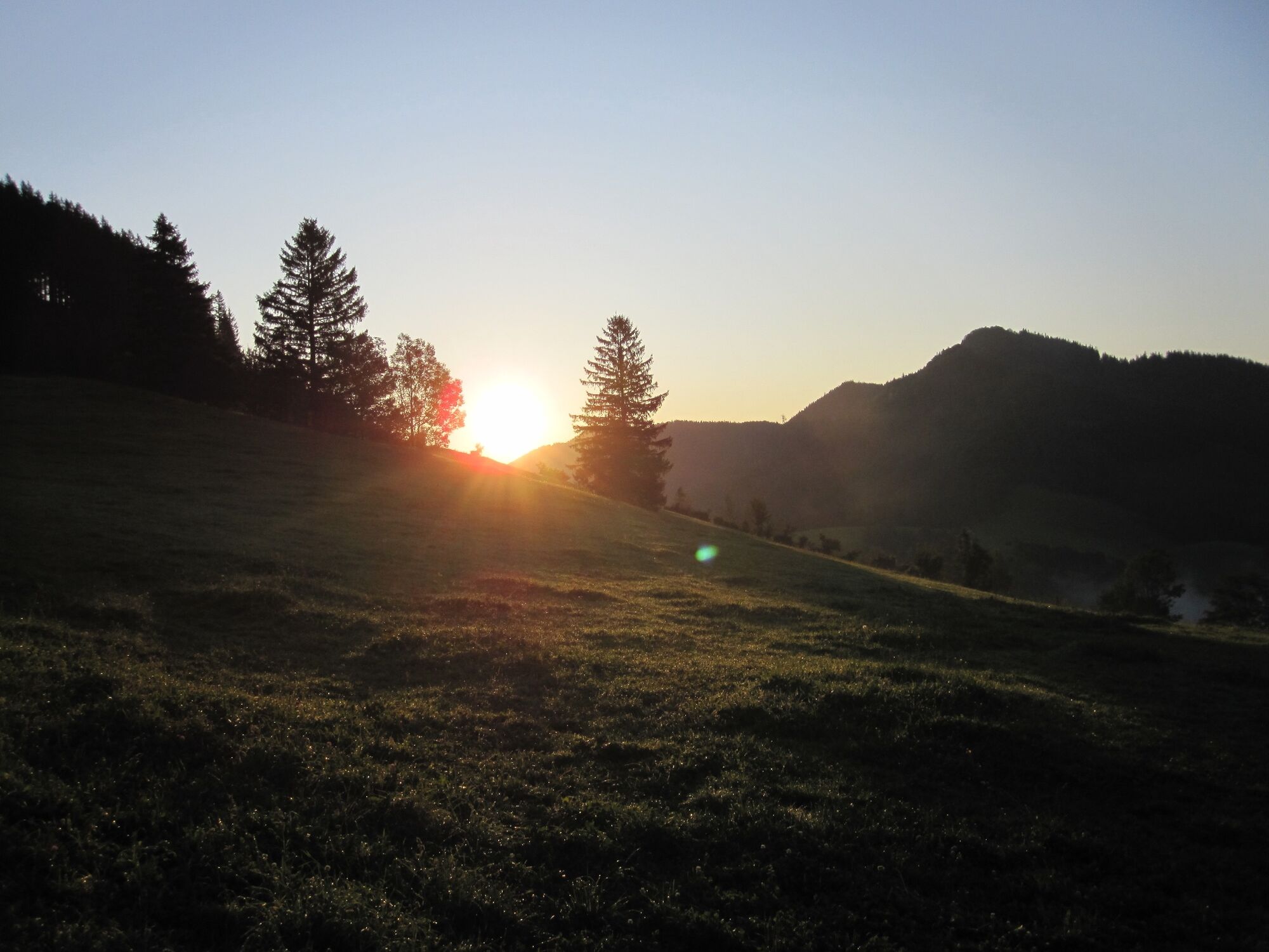
Summit tour starting from the Großgschnaidt, Seberlbauer farm in Forstau
- Difficulty
-
medium
- Rating
-
- Starting point
-
Gaflenz/Großgschnaidt
- Route
-
Klein Forstau0.2 kmSpindeleben (1,066 m)1.6 km
- Best season
-
JanFebMarAprMayJunJulAugSepOctNovDec
- Description
-
The trail leads steeply through cattle pastures and loose forest to the ridge and then left to the summit; alternative option from Neustifter Sattel - Panoramaweg to the Schnabelberg and to Waidhofen/Ybbs.
Trail number: E03
- Directions
-
This summit tour starts in Großgschnaidt at the Seberlbauer farm in Forstau. The trail leads steeply through cattle pastures and loose forest to the ridge and then left to the summit. An alternative option is from the Neustifter Sattel - Panoramaweg to the Schnabelberg and to Waidhofen/Ybbs.
- Highest point
- 1,050 m
- Endpoint
-
Gaflenz/Schindeleben
- Height profile
-

- Directions
-
From Salzburg/Linz: A1 motorway exit Enns-Steyr > B115 into the Enns Valley
From Vienna: A1 motorway exit Haag > B42 > B122 > B115 into the Enns Valley
From Passau: A8 Passau > Wels > A1 motorway exit Enns-Steyr > B115 into the Enns Valley
From Graz: A9 Pyhrnautobahn > motorway exit Klaus > Grünburg > into the Ennstal Valley
- Public transportation
- Parking
-
Gaflenz/Großgschnaidt
- Author
-
The tour Spindeleben is used by outdooractive.com provided.
GPS Downloads


General info
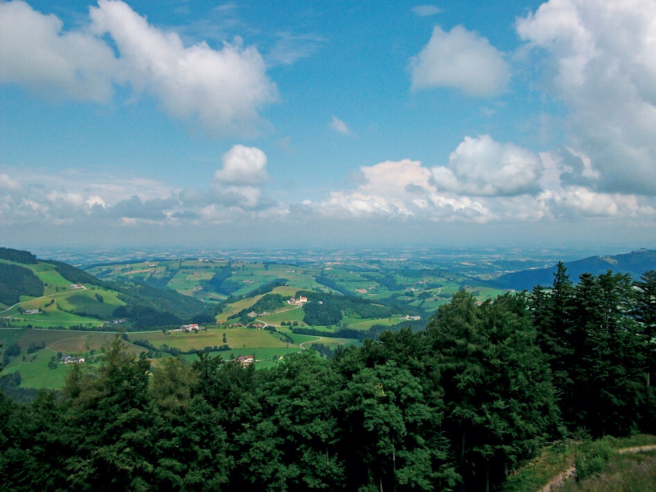
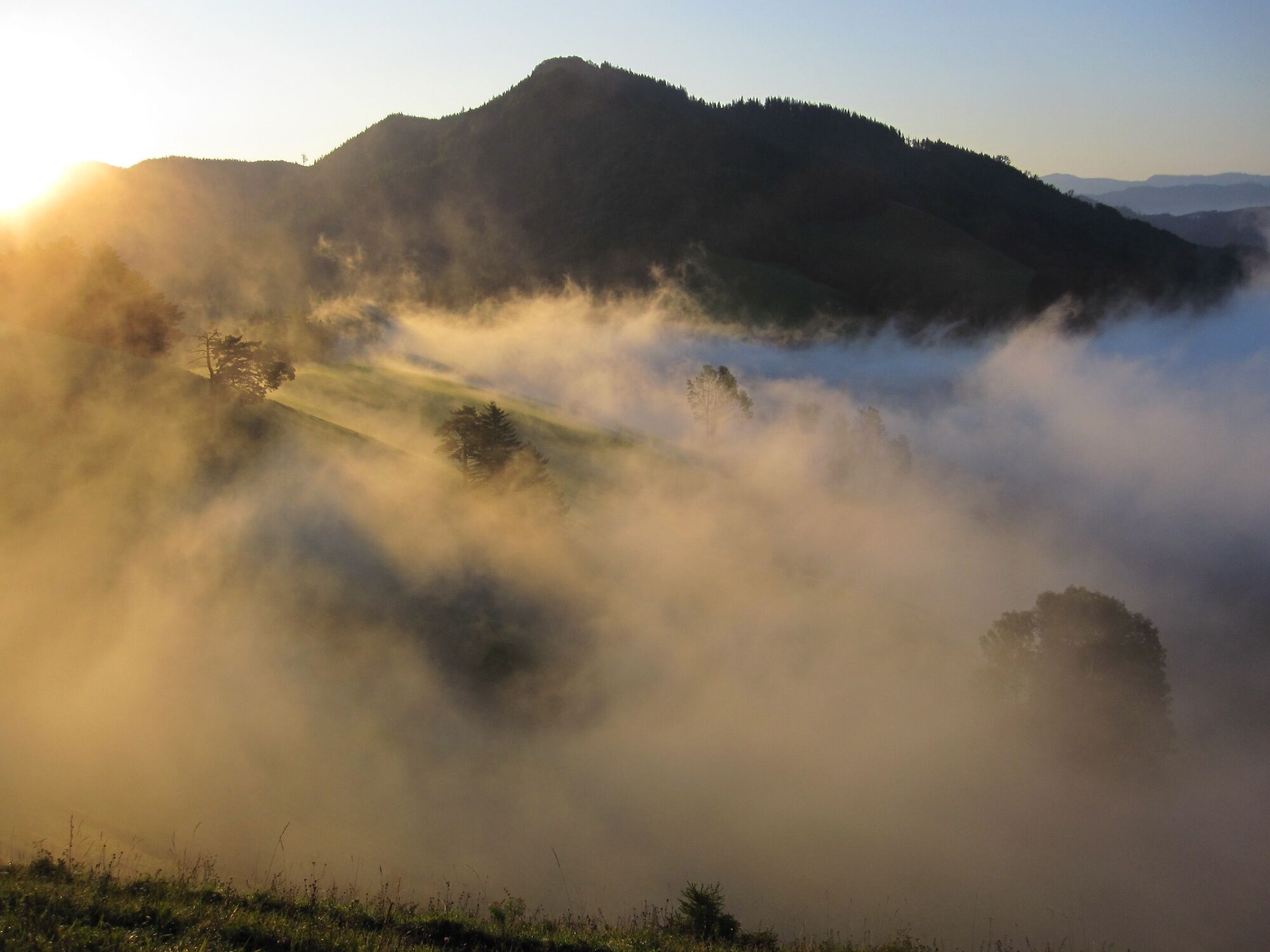
A lot of view
Other tours in the regions
-
Traunviertel
1940
-
Moststraße
754
-
Gaflenz
282