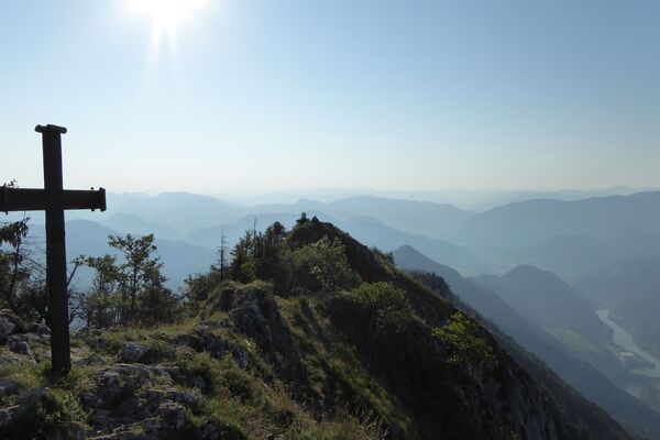
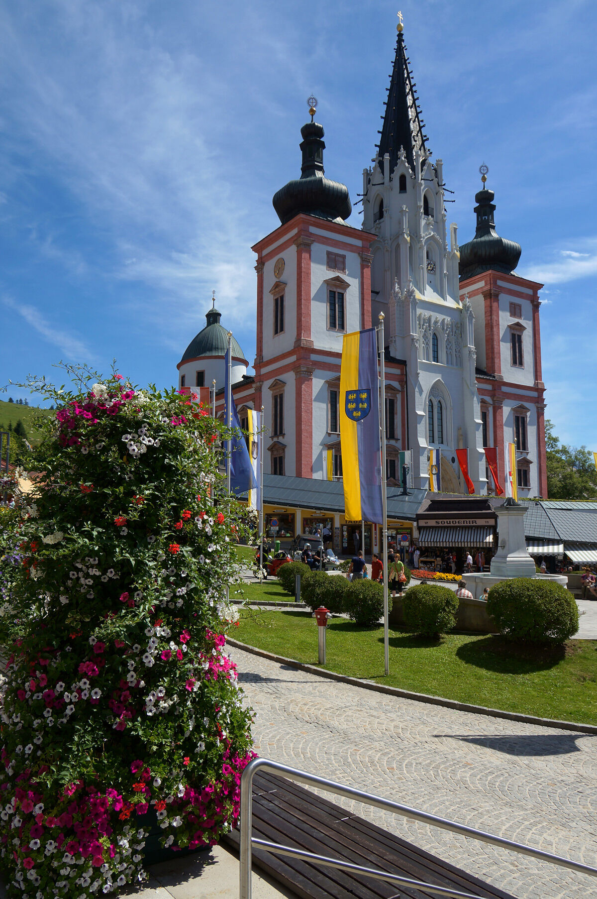
© TV Nationalpark Region Ennstal

© TV Nationalpark Region Ennstal

© TV Nationalpark Region Ennstal

© TV Nationalpark Region Ennstal

© TV Nationalpark Region Ennstal

© TV Nationalpark Region Ennstal

© TV Nationalpark Region Ennstal

© TV Nationalpark Region Ennstal

- Brief description
-
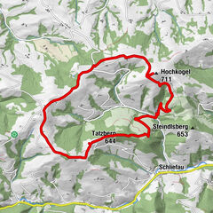
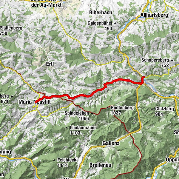
Etappe von Maria Neustift bis Waidhofen
- Difficulty
-
medium
- Rating
-
- Route
-
Maria NeustiftKonradsheim8.7 kmSchatzöd8.8 kmPfarrkirche hl. Nikolaus9.9 kmWasservorstadt14.2 kmBürgerspitalkirche14.4 kmWaidhofen an der Ybbs14.6 kmUnterzell15.0 km
- Best season
-
JanFebMarAprMayJunJulAugSepOctNovDec
- Highest point
- 747 m
- Height profile
-


- Author
-
The tour OÖ Mariazellerweg - Maria Neustift - Waidhofen/Ybbs is used by outdooractive.com provided.
GPS Downloads


Other tours in the regions
-
Traunviertel
1940
-
Moststraße
755
-
Gaflenz
282