© Marktgemeinde Oberneukirchen
- Brief description
-
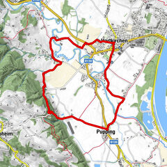
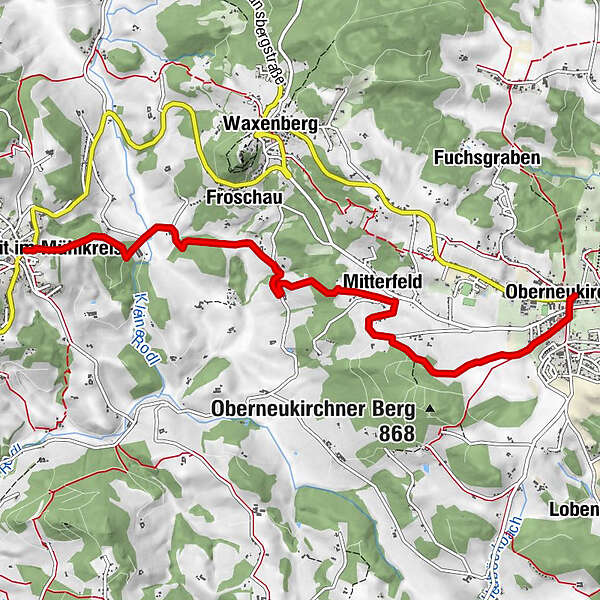
In Schnopfhagen's footsteps
Itinerary: Marktplatz-Mitterfeld-Reindlsedt-Wögersdorf-St.Veit
30% asphalt, 70% gravel / natural soil - Difficulty
-
medium
- Rating
-
- Route
-
Pfarrkirche Oberneukirchen0.0 kmOberneukirchen0.0 kmMitterfeld2.6 kmKapelle4.3 kmFroschau4.4 kmWögersdorf5.9 kmSankt Veit im Mühlkreis6.6 kmKirche St. Veit im Mühlkreis6.6 kmGasthaus zur Linde6.6 km
- Best season
-
JanFebMarAprMayJunJulAugSepOctNovDec
- Description
-
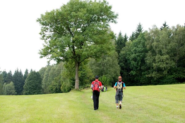
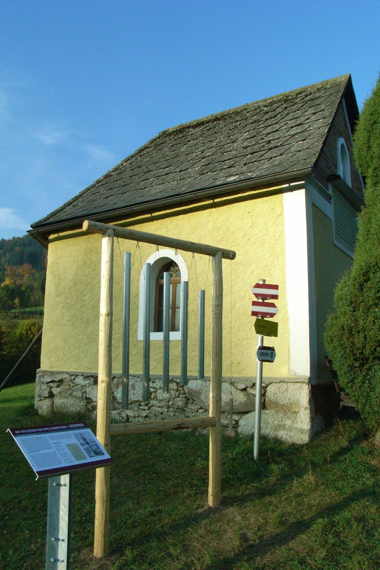
Adventure points along the way: 8 sound stations
- Highest point
- 807 m
- Height profile
-

- Additional information
- Author
-
The tour Liederweg is used by outdooractive.com provided.
GPS Downloads


Other tours in the regions