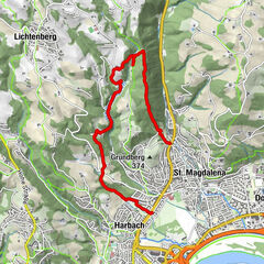
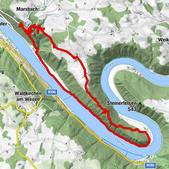
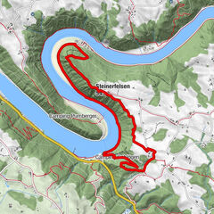
Tour data
7.8km
584
- 692m
103hm
01:17h
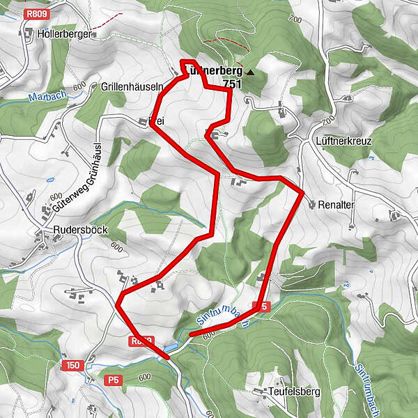
- Brief description
-
7,8 km
- Rating
-
- Highest point
- 692 m
GPS Downloads


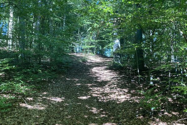
Trail conditions
Asphalt
Gravel
Meadow
Forest
Rock
Exposed
Other tours in the regions
-
Mühlviertel
1782
-
Mühlviertler Hochland
751
-
St. Peter am Wimberg
228