

© Tatzreiter - Picasa 2.6�

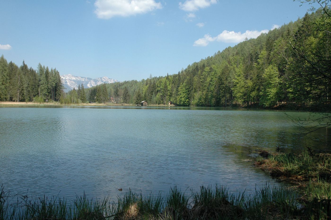
© TVB Pyhrn-Priel Röbl

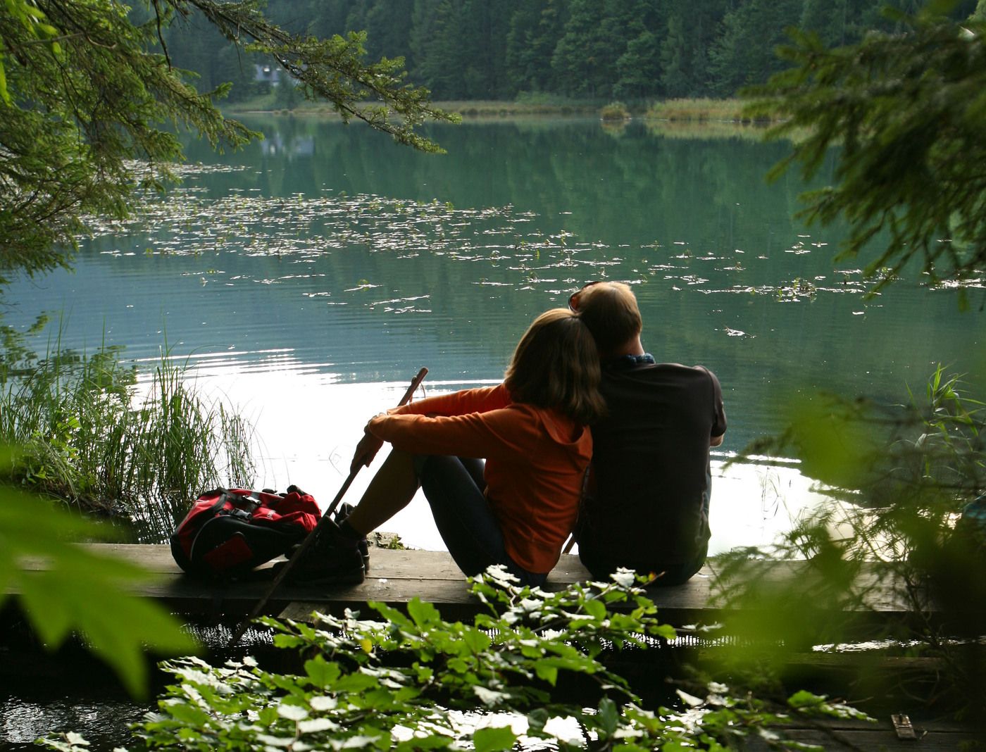
© TVB Pyhrn-Priel Tatzreiter
Tour data
4.25km
776
- 908m
121hm
01:30h
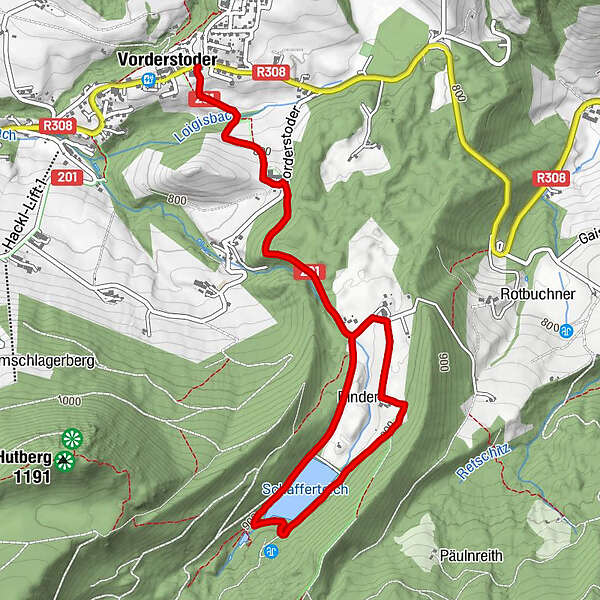
- Brief description
-
Schwierigkeitsgrad: blau
- Rating
-
- Starting point
-
Steinergut in Vorderstoder
- Route
-
Vorderstoder0.0 km
- Highest point
- 908 m
- Ticket material
-
Wanderkarte Pyhrn-Priel erhätlich in allen Pyhrn-Priel Tourismusbüros!

GPS Downloads


Trail conditions
Asphalt
Gravel
Meadow
Forest
Rock
Exposed
Other tours in the regions
-
Traunviertel
1940
-
Urlaubsregion Pyhrn - Priel
1440
-
Vorderstoder
438


