
© Sulzbacher
© Sulzbacher
Tour data
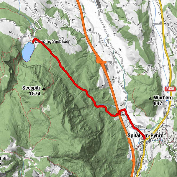
5.12km
623
- 912m
377hm
04:00h
- Brief description
-
Schwierigkeitsgrad: blau
- Rating
-
- Route
-
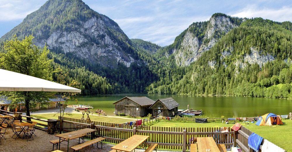
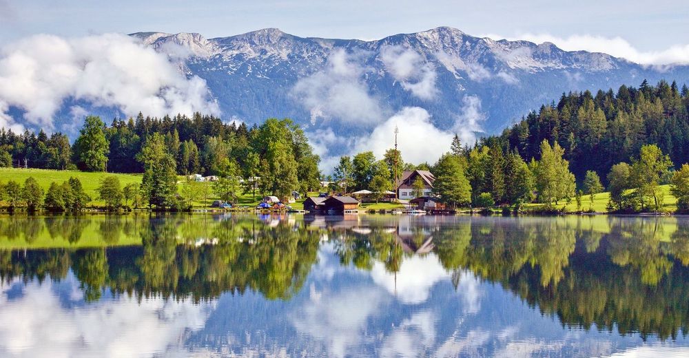
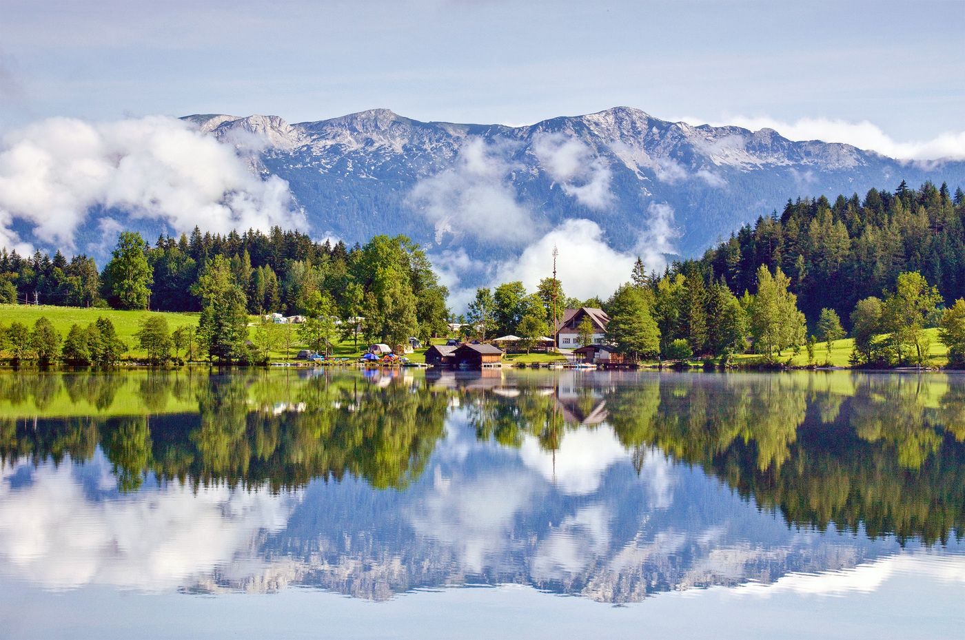
Spital am PyhrnStiftskircheMariensäule0.7 kmGasthof Seebauer5.1 km
- Highest point
- 912 m
- Rest/Retreat
-
GH Seebauer, GH Tommerl
- Ticket material
-
Wanderkarte Pyhrn-Priel erhätlich in allen Pyhrn-Priel Tourismusbüros!

GPS Downloads


Trail conditions
Asphalt
Gravel
Meadow
Forest
Rock
Exposed
Other tours in the regions
-
Gesäuse
2224
-
Urlaubsregion Pyhrn - Priel
1440
-
Edlbach
431


