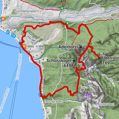
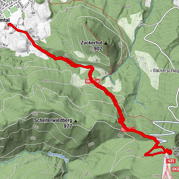
Tour data
8.64km
521
- 1,141m
616hm
621hm
03:23h
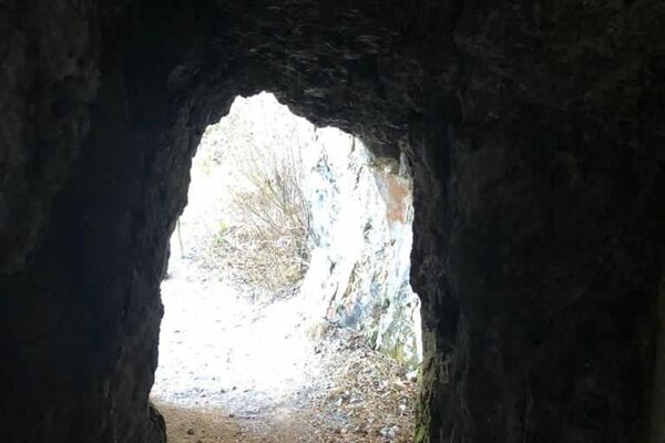
- Brief description
-
Veoma dobra ruta ali veoma strma
- Difficulty
-
medium
- Rating
-
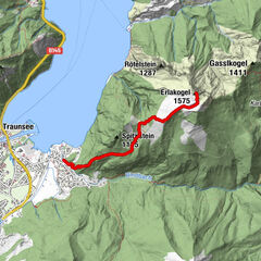
- Route
-
Grünau im AlmtalHochberghaus4.8 kmGrünau im Almtal8.6 km
- Highest point
- 1,141 m

GPS Downloads


Other tours in the regions
-
Ausseerland - Salzkammergut
3382
-
Traunsee-Almtal
910
-
Grünau im Almtal
288