

© Jagahäusl/G. Nömayr

© Jagahäusl/G. Nömayr
Tour data
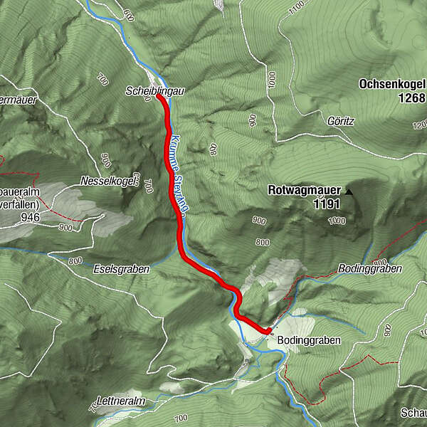
1.79km
595
- 653m
55hm
01:00h
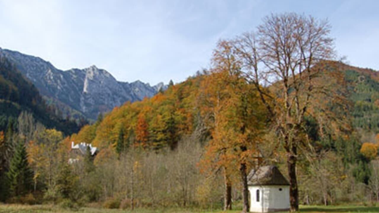
- Brief description
-
Schwierigkeitsgrad: blau, Kinderwagentauglich
- Difficulty
-
easy
- Rating
-
- Starting point
-
Ausgehend von Molln, Parkplatz scheiblingau
- Route
-
Jagahäusl1.8 km
- Best season
-
JanFebMarAprMayJunJulAugSepOctNovDec
- Highest point
- 653 m
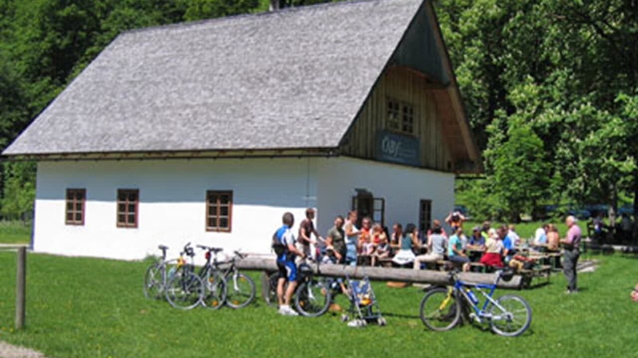
- Rest/Retreat
-
Jagahäusl
- Ticket material
-
Wanderkarte Pyhrn-Priel erhätlich in allen Pyhrn-Priel Tourismusbüros!
GPS Downloads


Trail conditions
Asphalt
Gravel
Meadow
Forest
Rock
Exposed
Other tours in the regions


