
Tour data
4.74km
474
- 571m
98hm
98hm
01:36h
- Brief description
-
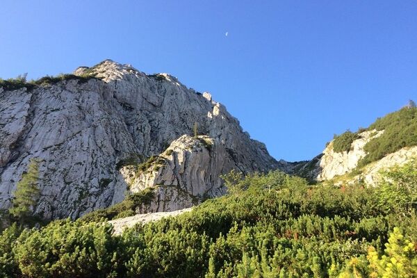
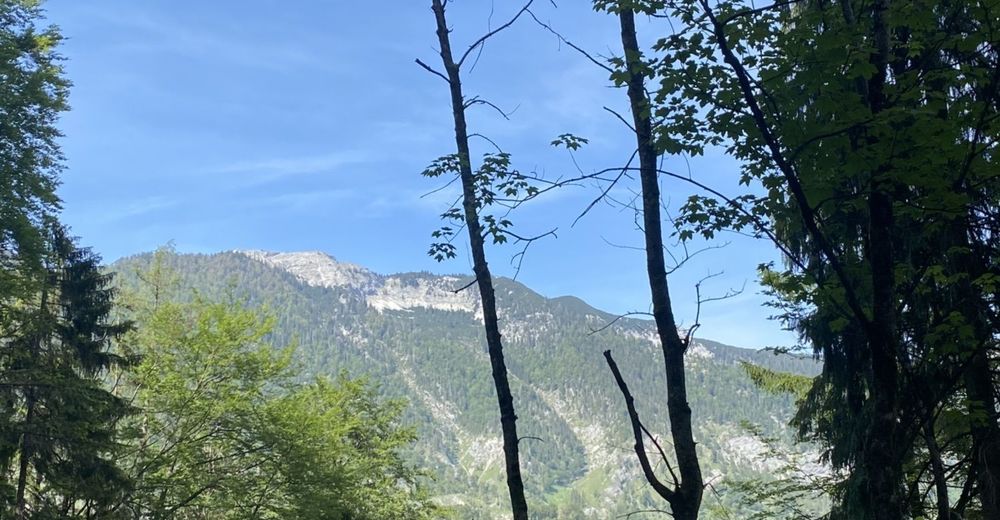
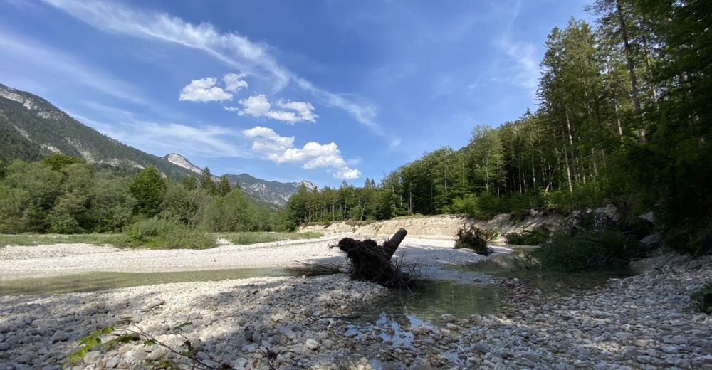
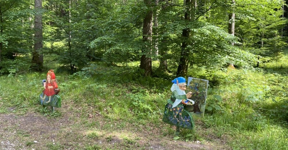
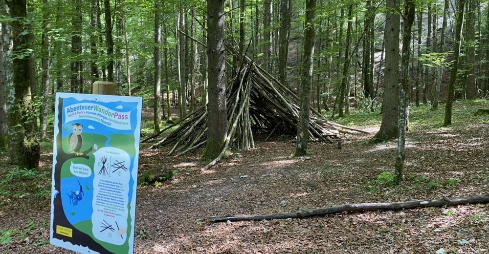
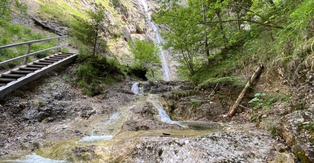
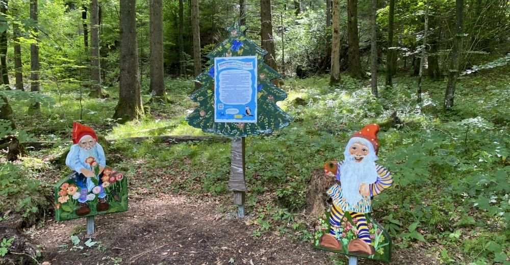
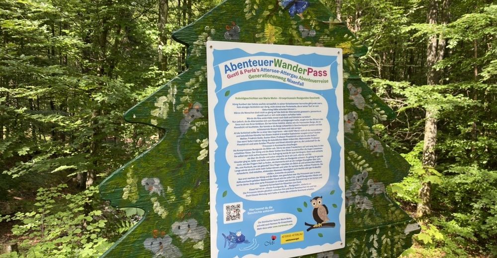
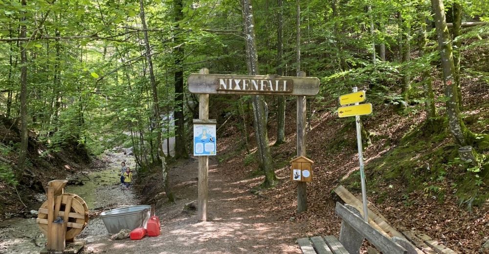
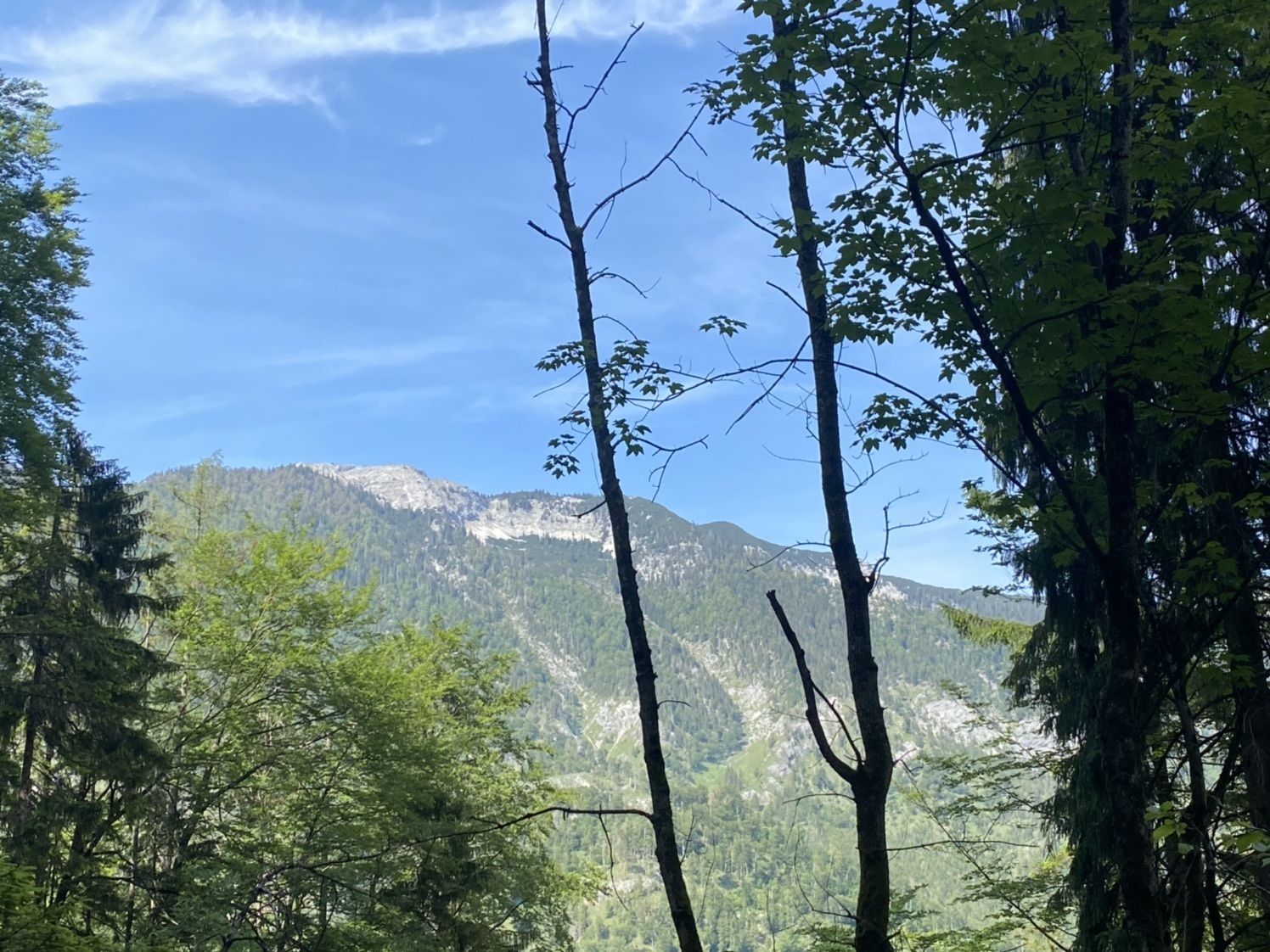
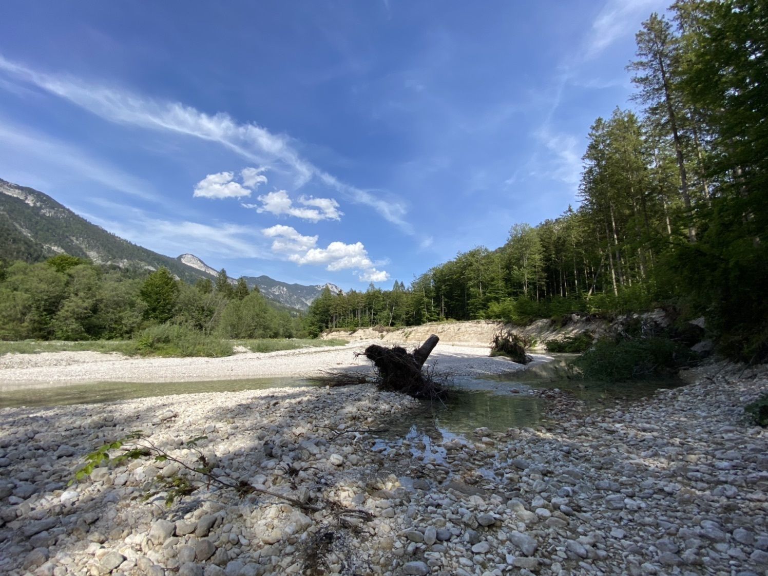
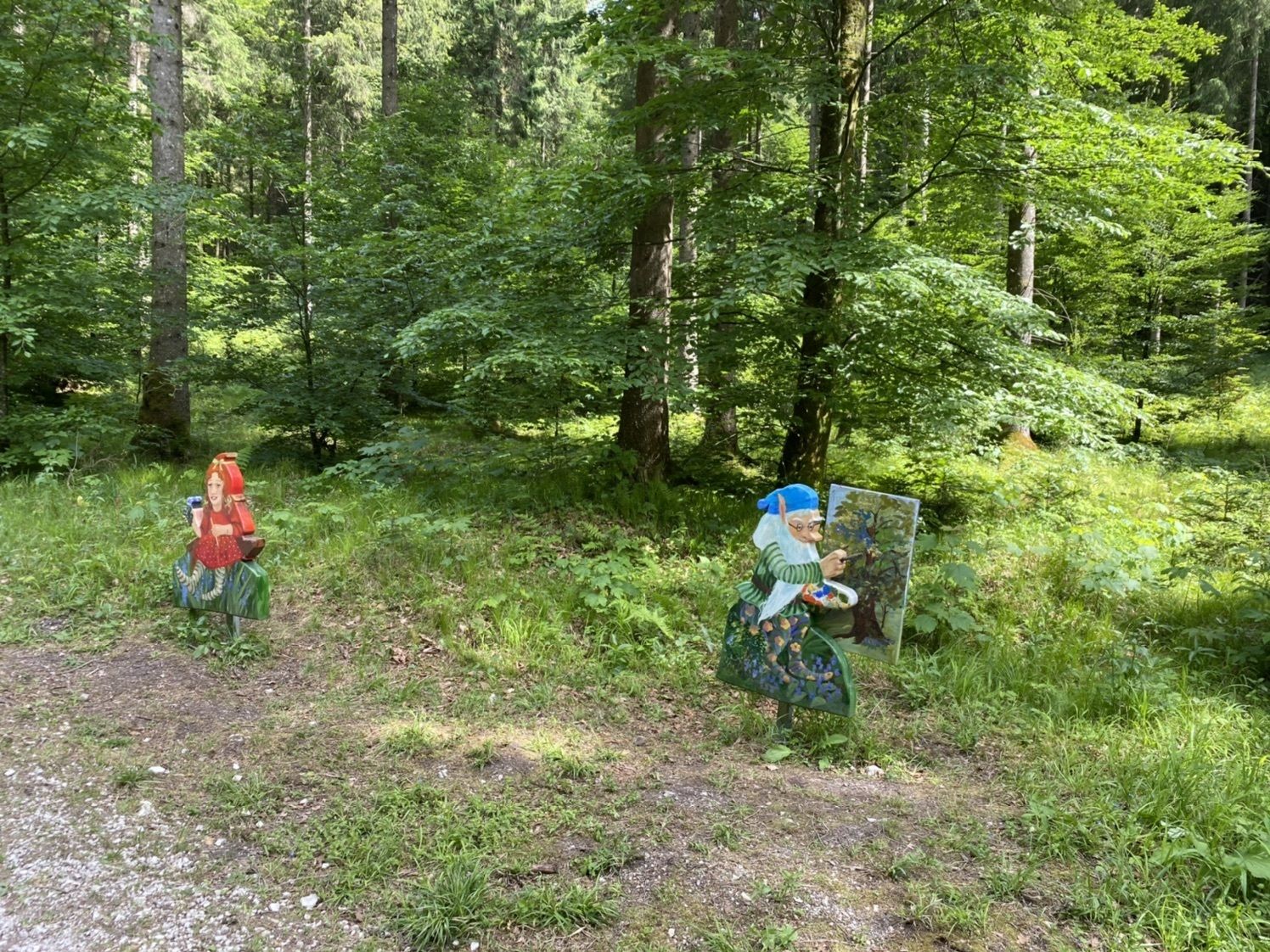
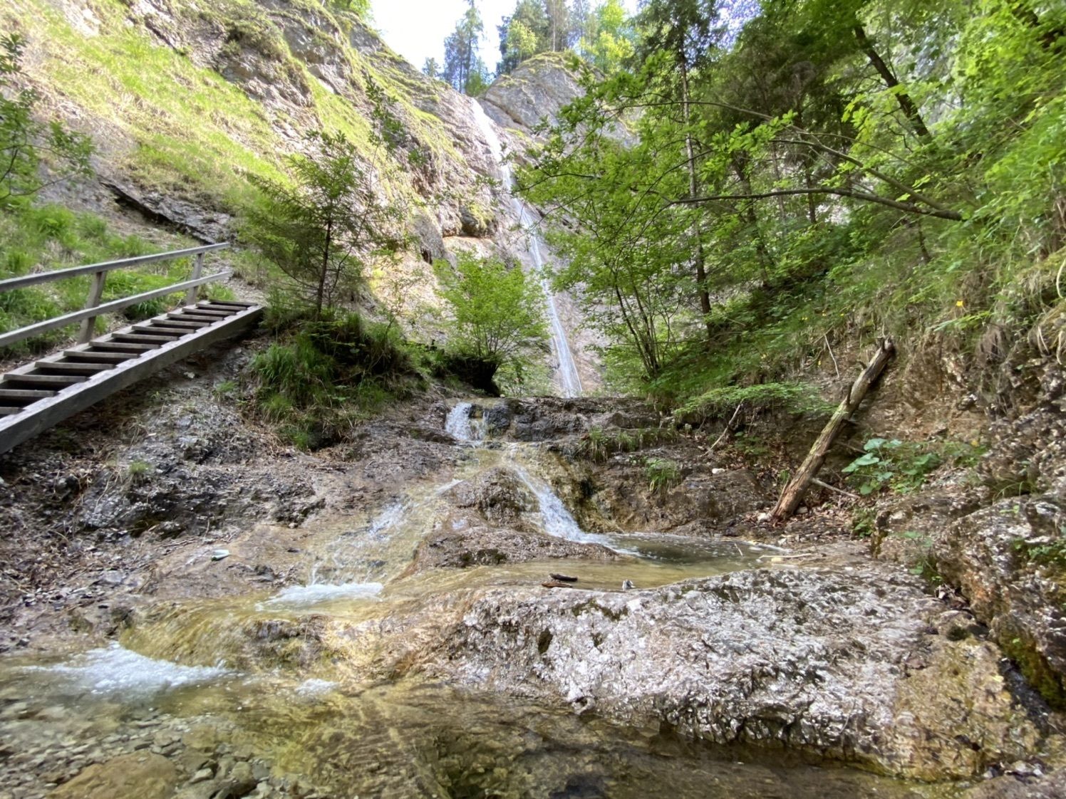
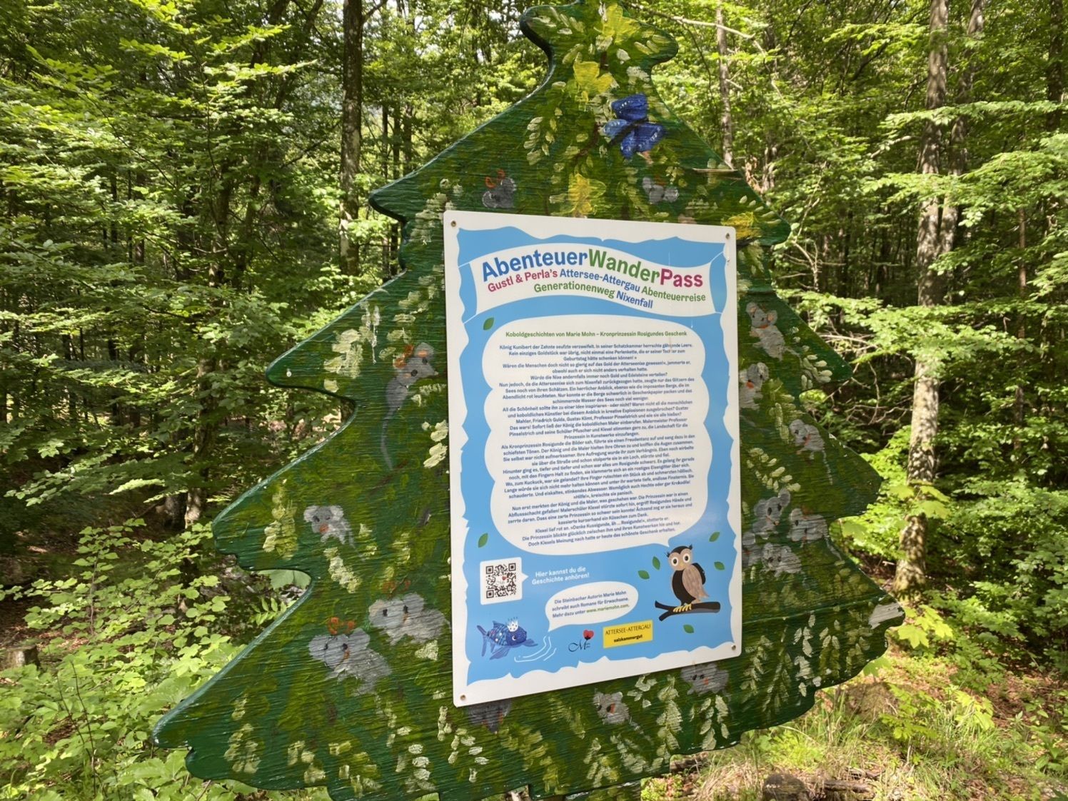
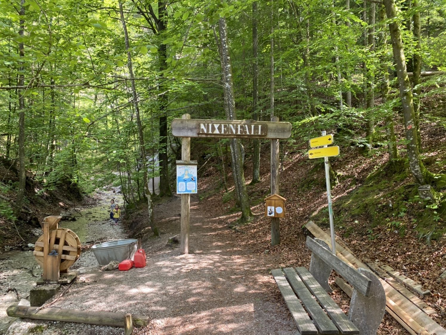
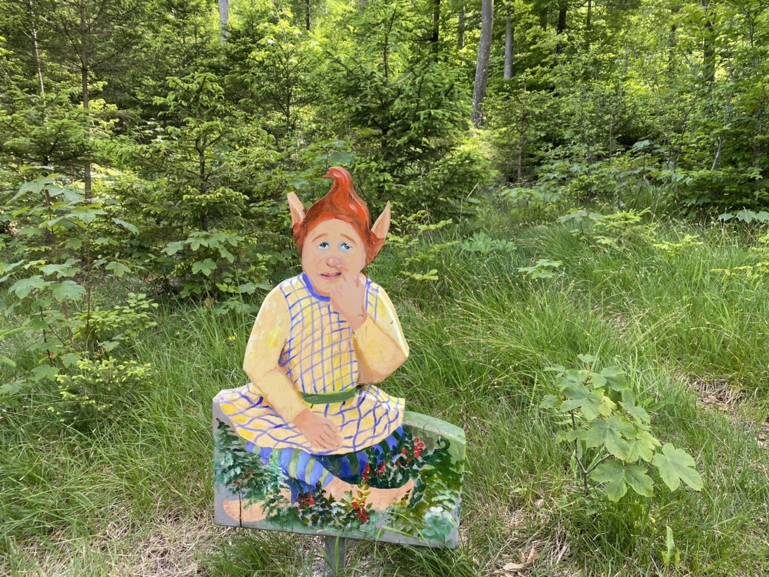
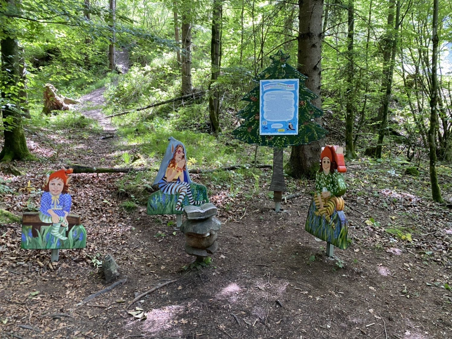
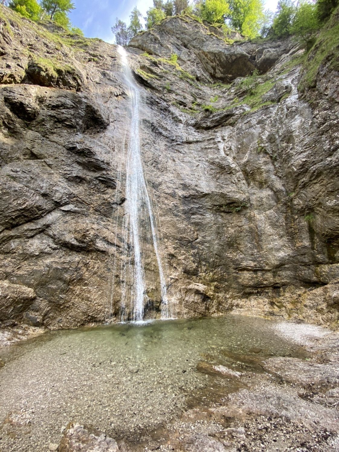
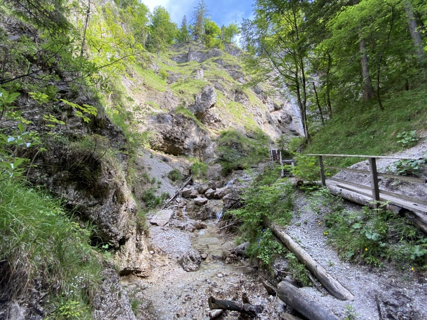
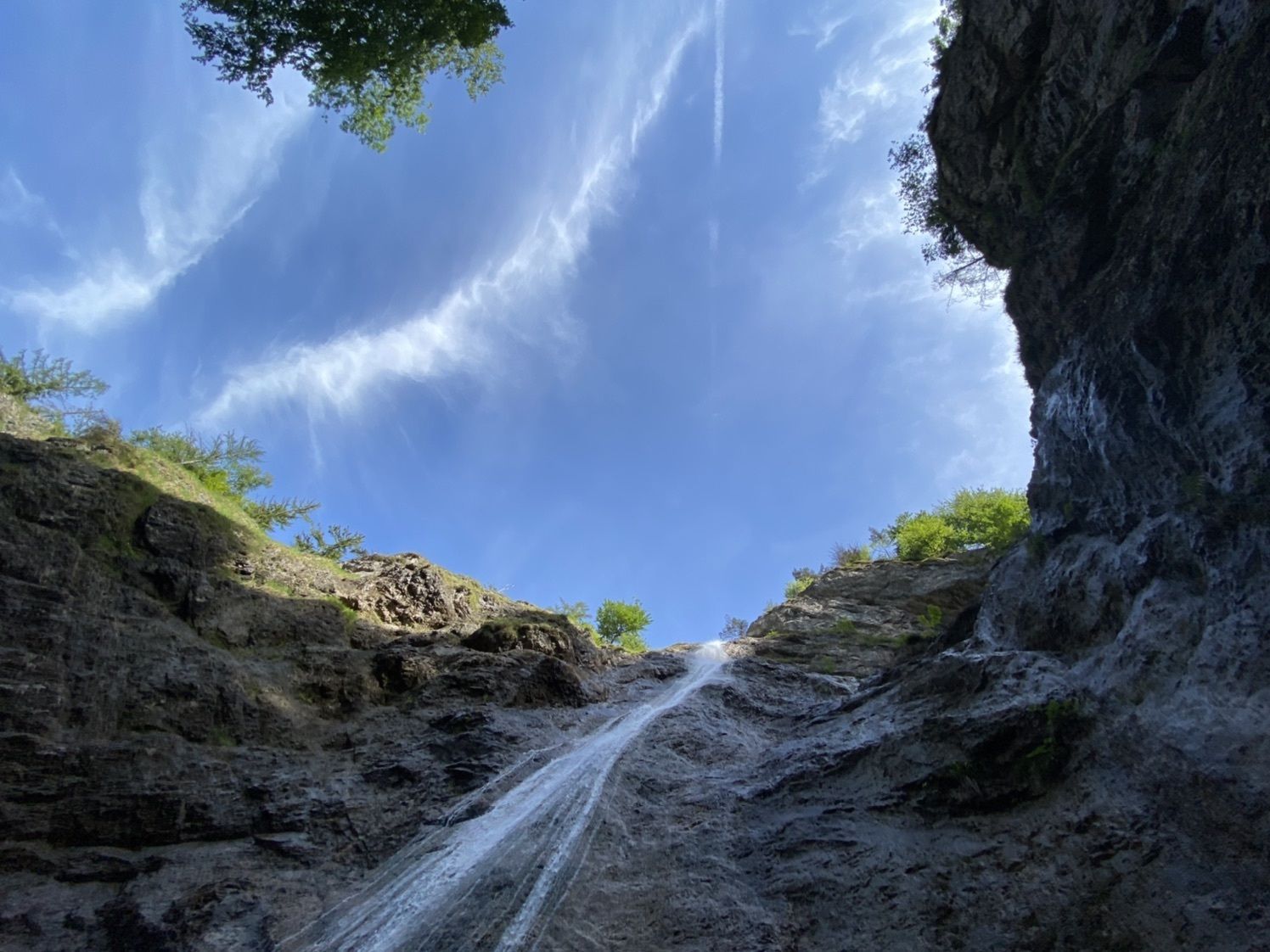
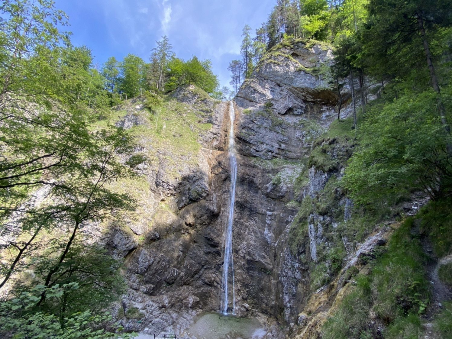
kleine runde zum Nixenfall
- Difficulty
-
easy
- Rating
-
- Route
-
WaldsiedlungNixenfall2.2 kmWaldsiedlung4.5 km
- Best season
-
JanFebMarAprMayJunJulAugSepOctNovDec
- Highest point
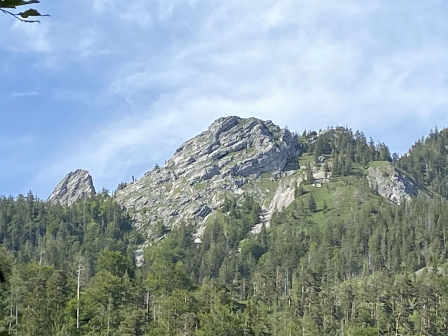
- 571 m

GPS Downloads


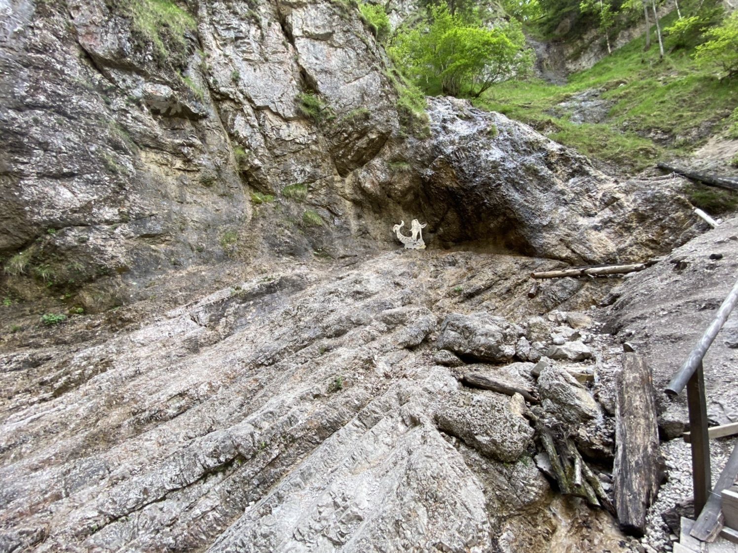
Trail conditions
Asphalt
Gravel
Meadow
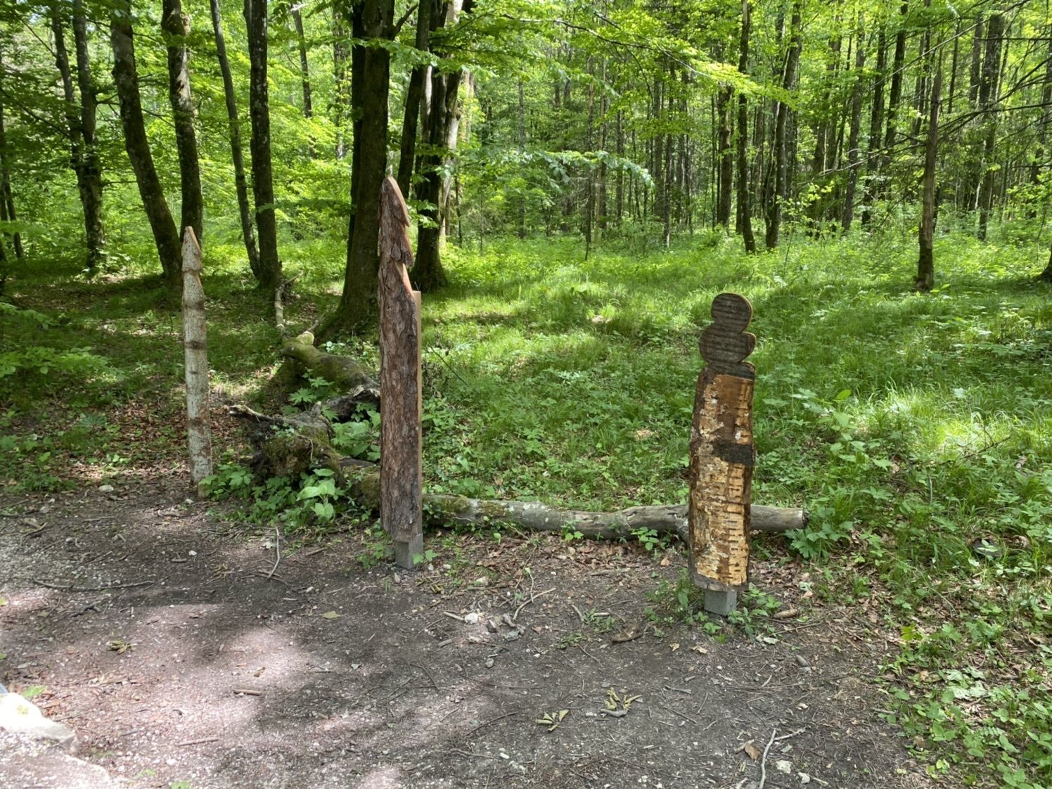
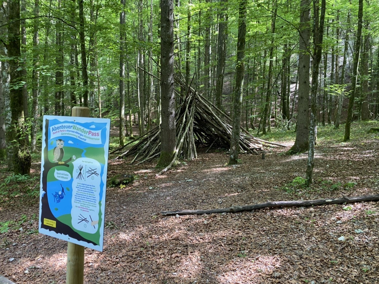
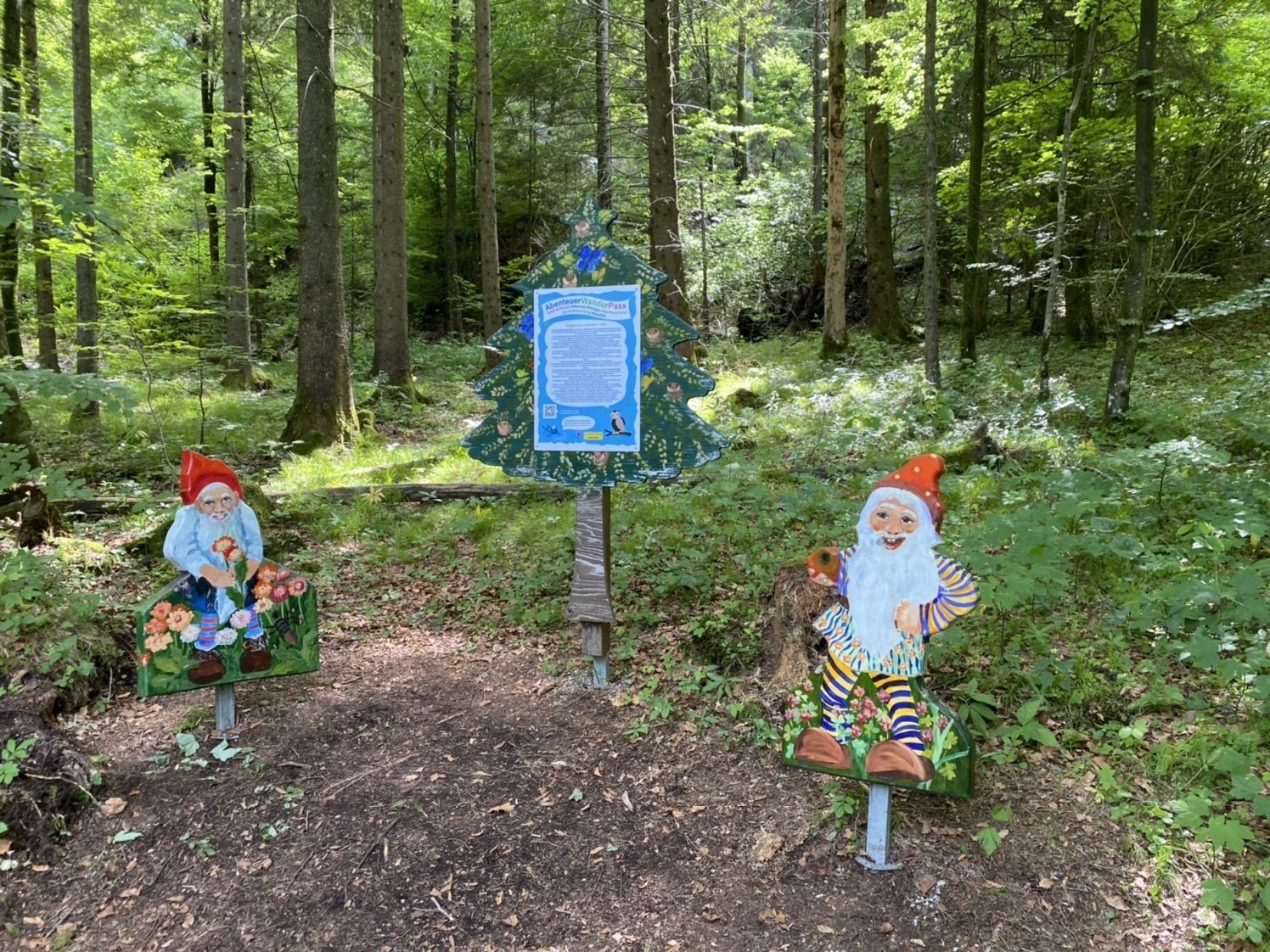
Forest
Rock
Exposed
Other tours in the regions