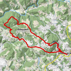
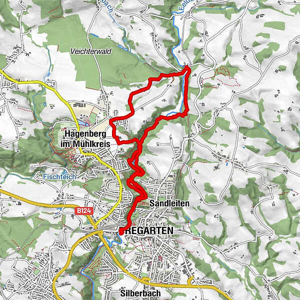
Pregarten Hagenberg

Logo Pregarten Hagenberg
Tour data
9.25km
399 - 473m
Distance
140hm
135hm
Ascent
02:16h
 
Duration
Brief description

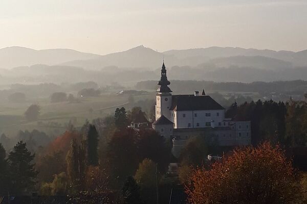
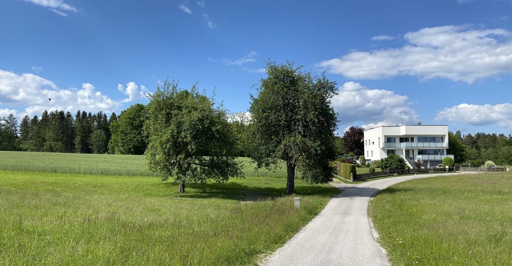
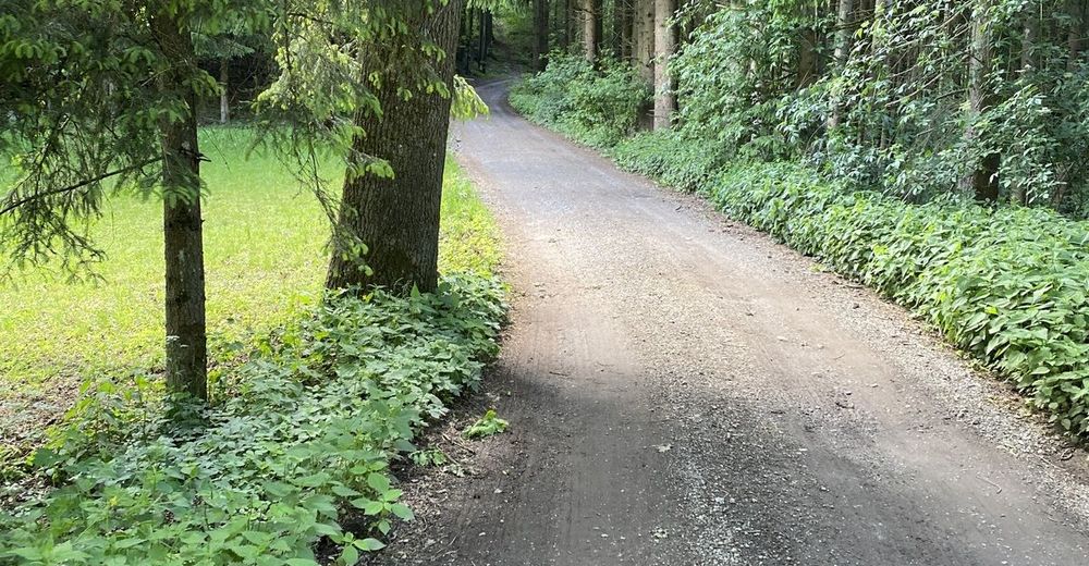
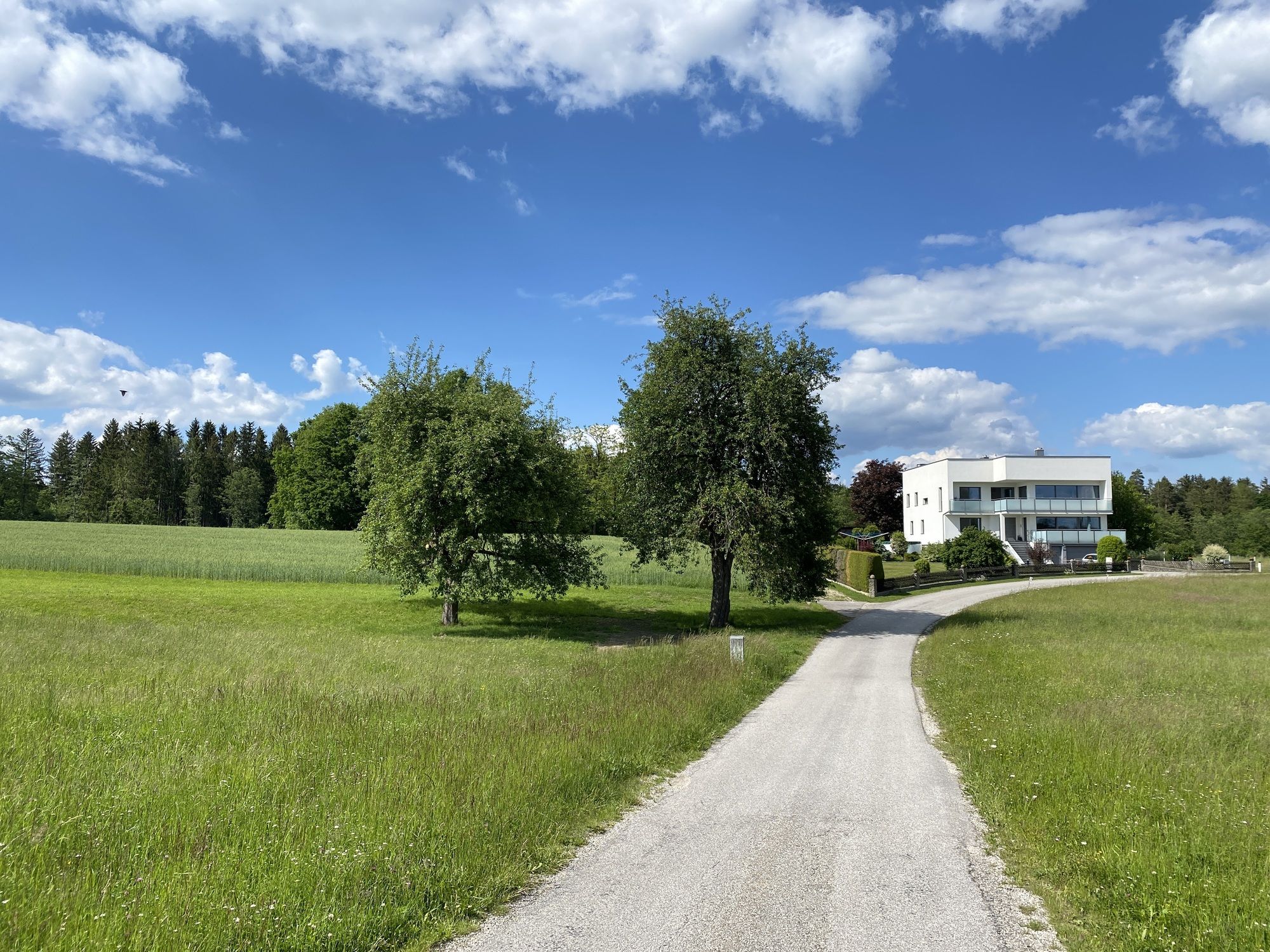
Lockere Wanderung entlang der Aist

Difficulty
easy
Rating
Technique
Fitness
Landscape
Experience
Route
Pregarten (430 m)
0.0 km
Pregarten (430 m)
8.9 km

Highest point
473 m

4,0
Overall rating

5

0

%

4

100

%

3

0

%

2

0

%

1

0

%

GPS Downloads
  • GPX GPS Exchange Format (XML)
  • KML Google Earth, Google Maps
QR Download Codes for Mobile Phones
Other tours in the regions

Popular tours in the area

Schönau im Mühlkreis - Ruine Prandegg Rundweg

medium Hiking
13.42km | 429hm | 04:00h

Schwertberg: Weltstoarunde

easy Hiking
11.38km | 304hm | 03:30h

Wanderung Kefermarkt Buchberg

easy Hiking
8.33km | 247hm | 03:05h

SternGartl Blick lookout tower R4

medium Hiking
7.75km | 113hm | 02:12h