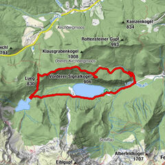
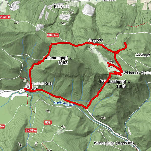
Tour data
7.12km
646
- 951m
338hm
338hm
04:34h
- Brief description
-
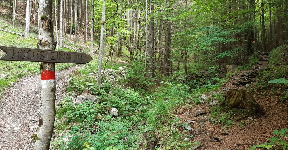
Rundwanderung zur Hochsteinalm, zum Lärlkogel und wieder zurück
- Difficulty
-
medium
- Rating
-
- Starting point
-
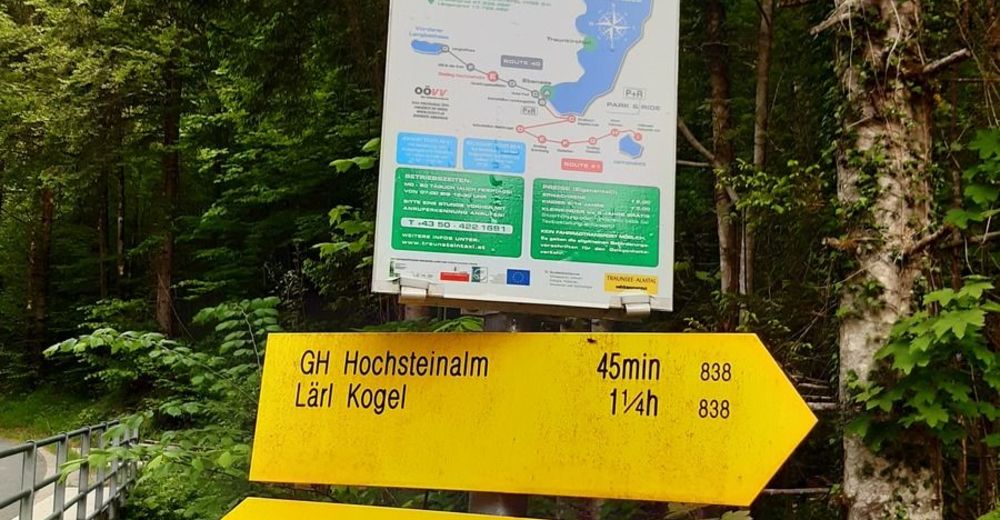
Parkplatz Hochsteinalm, Zufahrtsstrasse Langbathseen
- Route
-
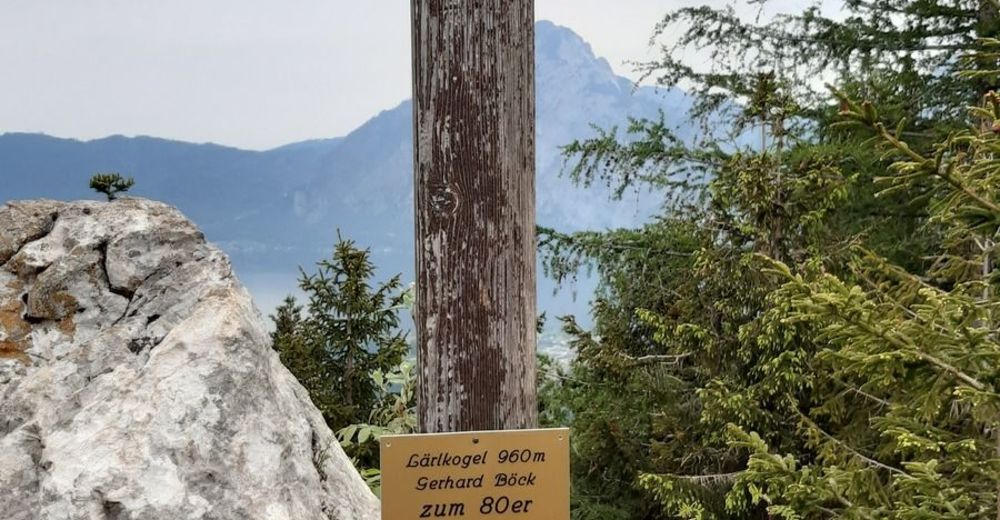
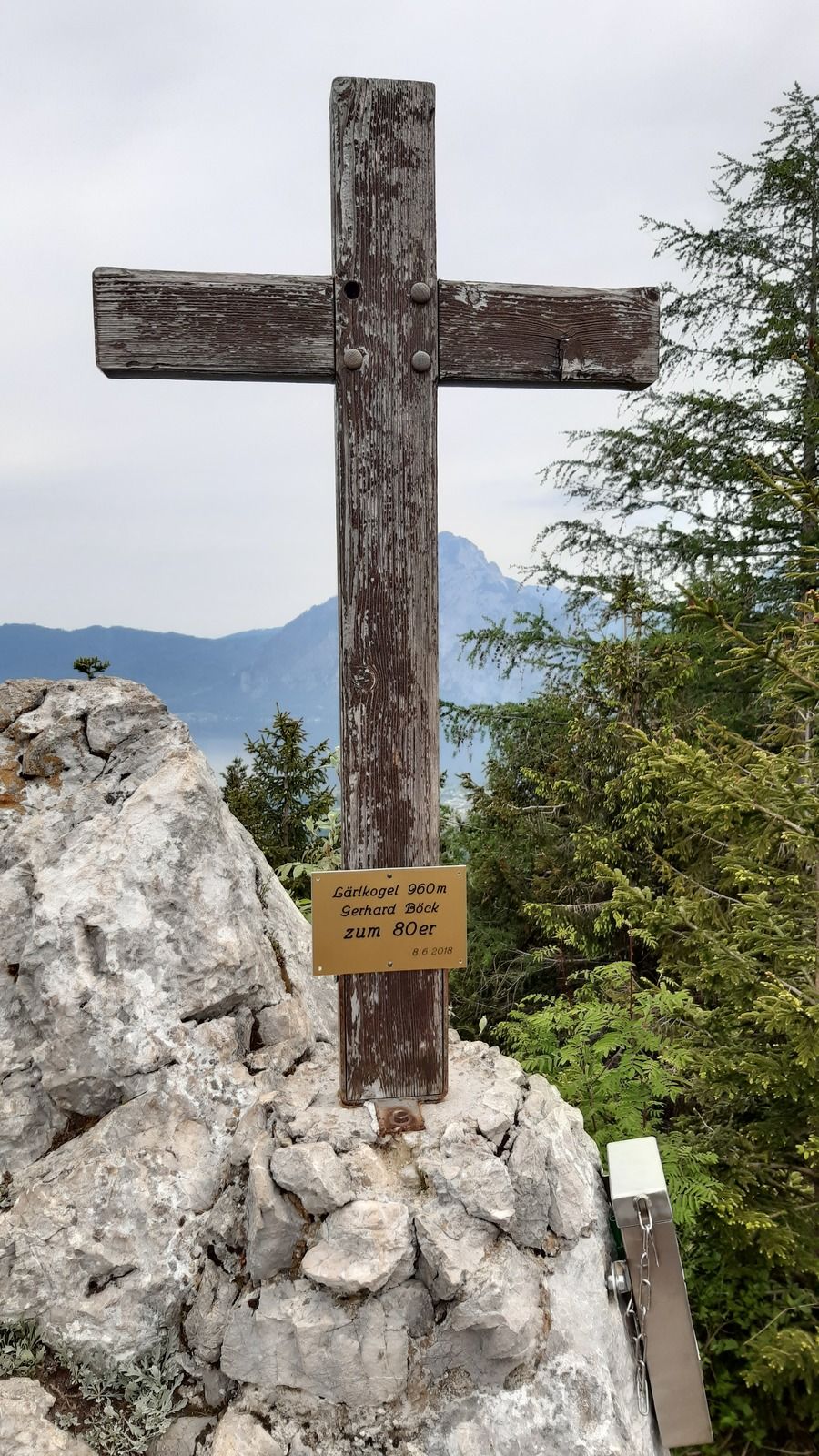
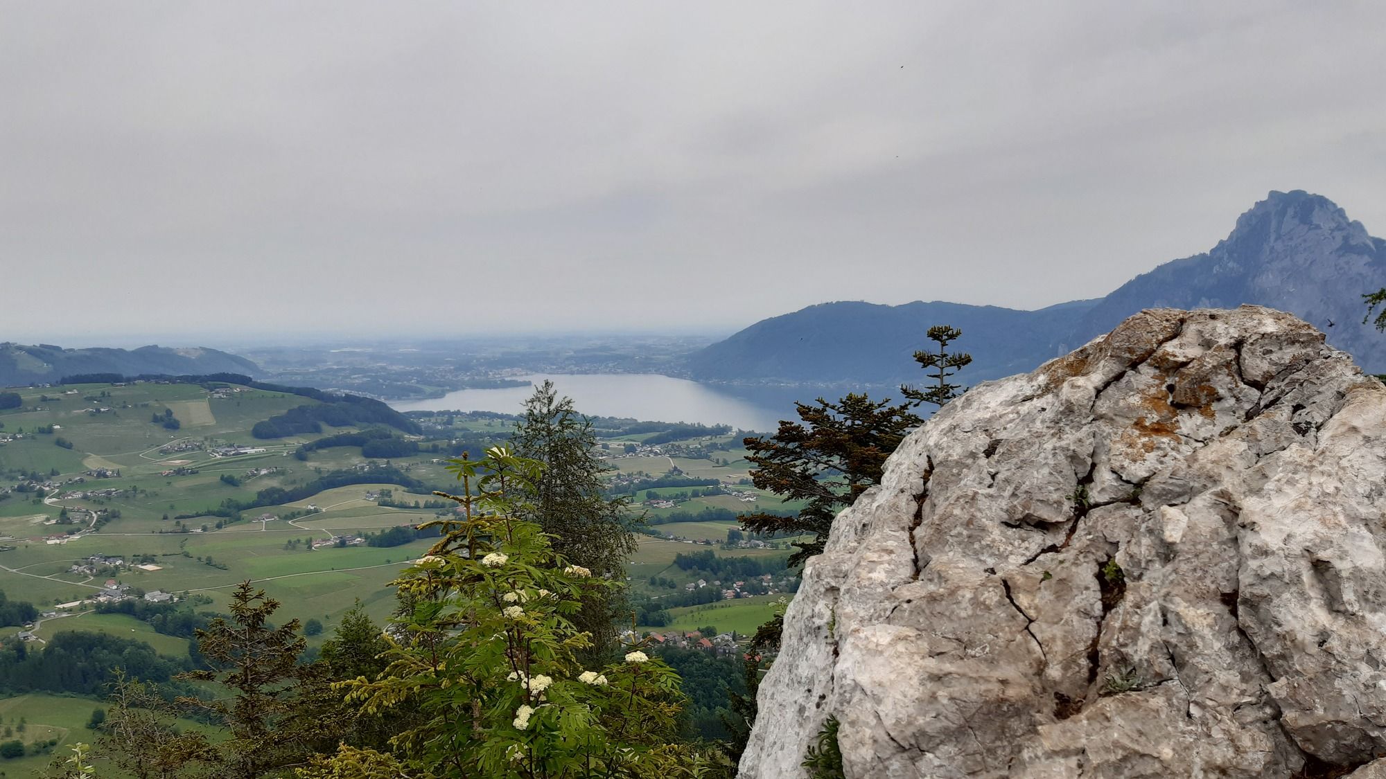
Hochsteinalm2.2 kmLärlkogel (Aussichtspunkt) (969 m)3.1 km
- Best season
-
JanFebMarAprMayJunJulAugSepOctNovDec
- Highest point
- 951 m
- Endpoint
-
Parkplatz Hochsteinalm, Zufahrtsstrasse Langbathseen
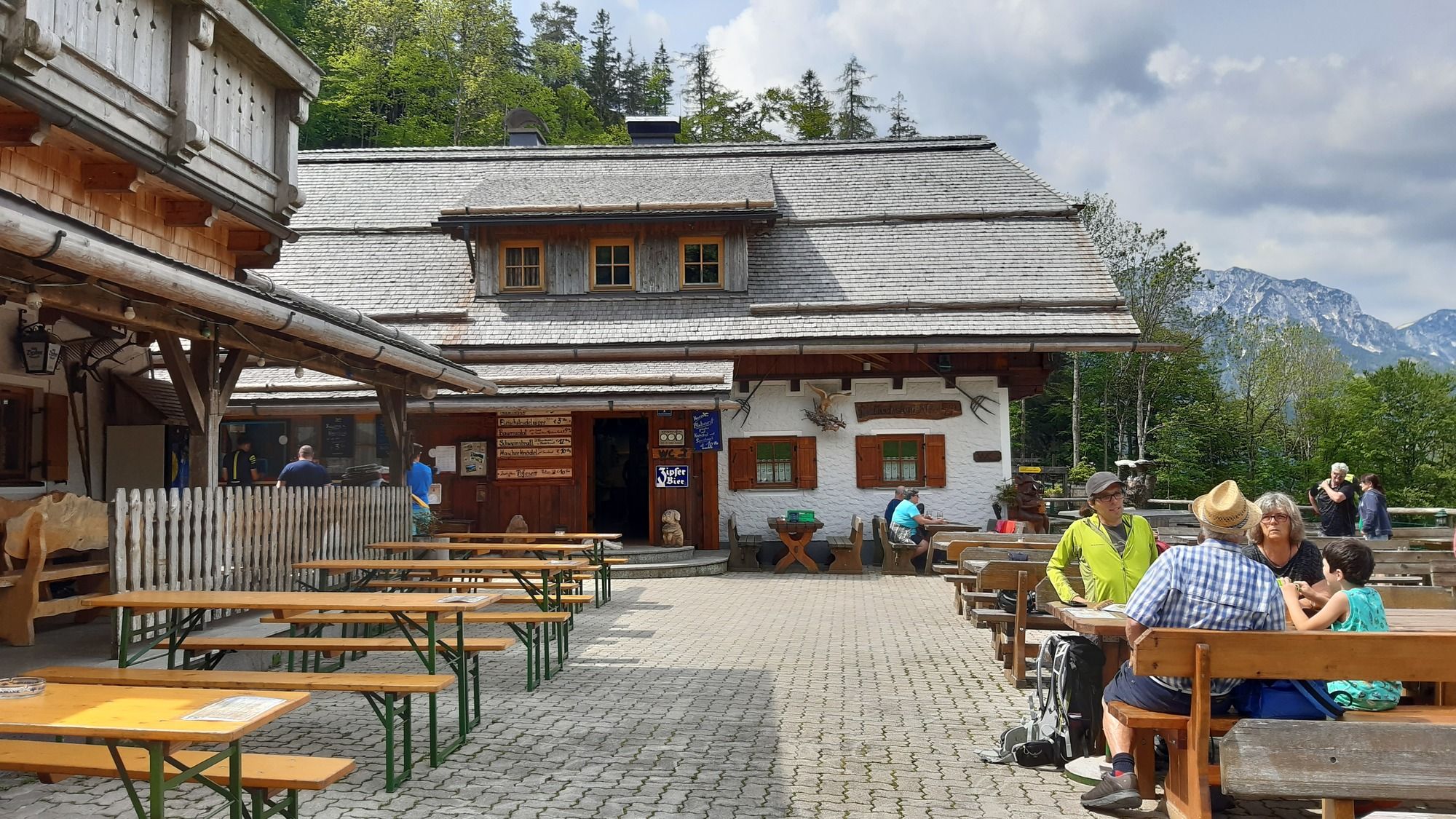
- Rest/Retreat
-
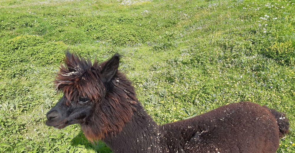
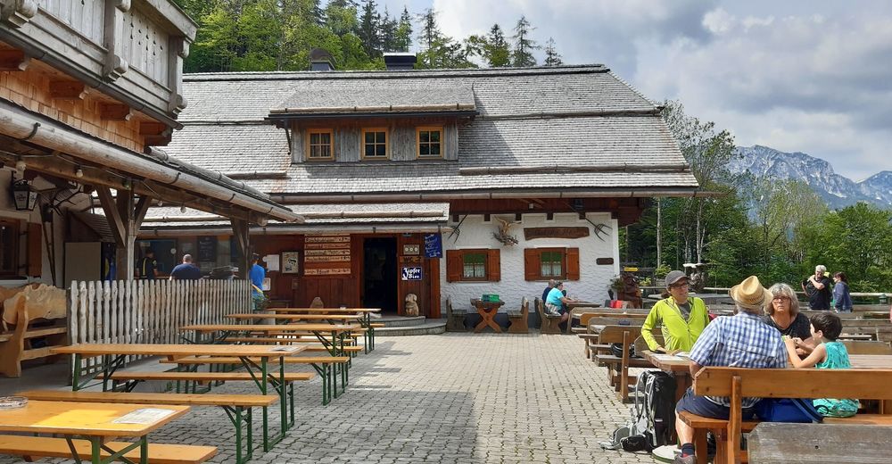
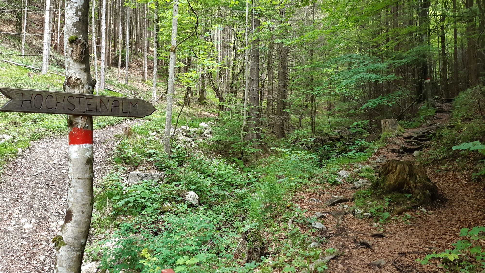
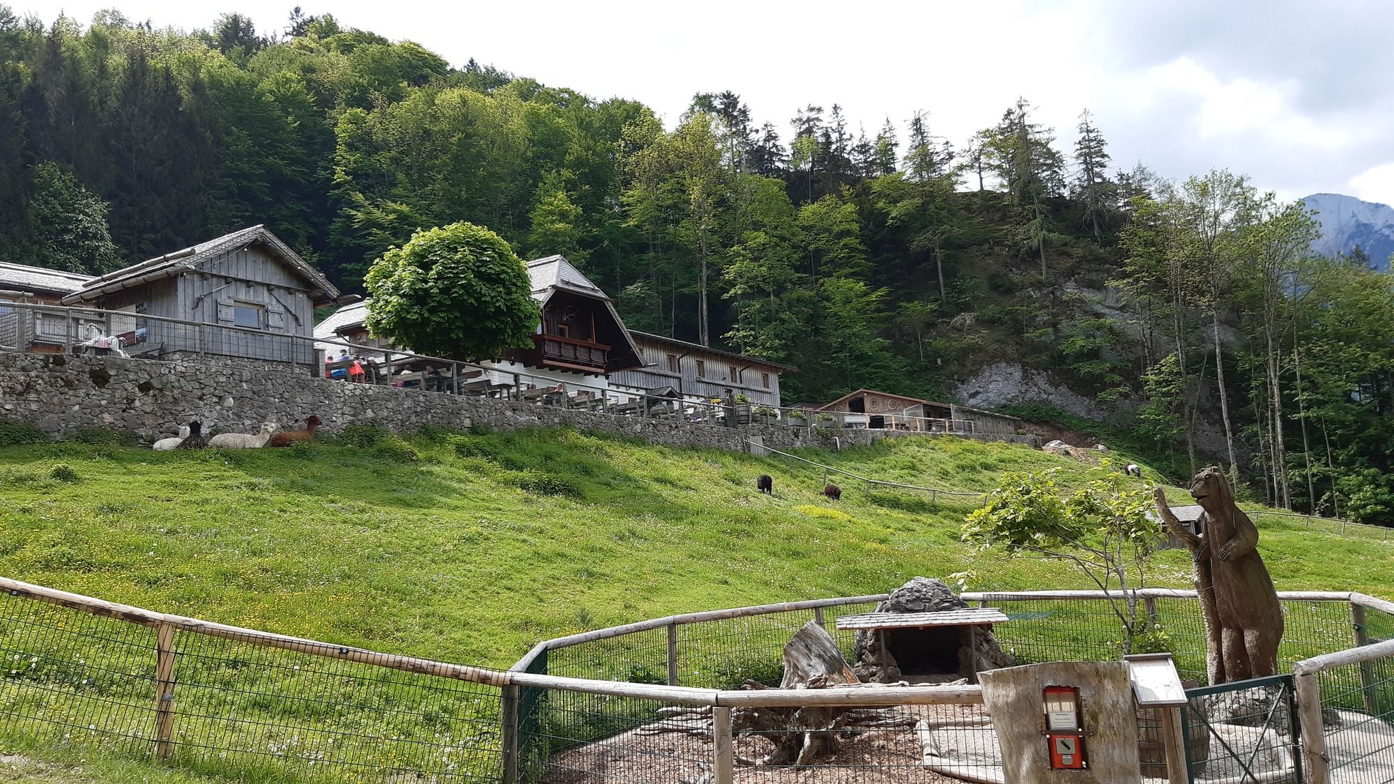
Hochsteinalm
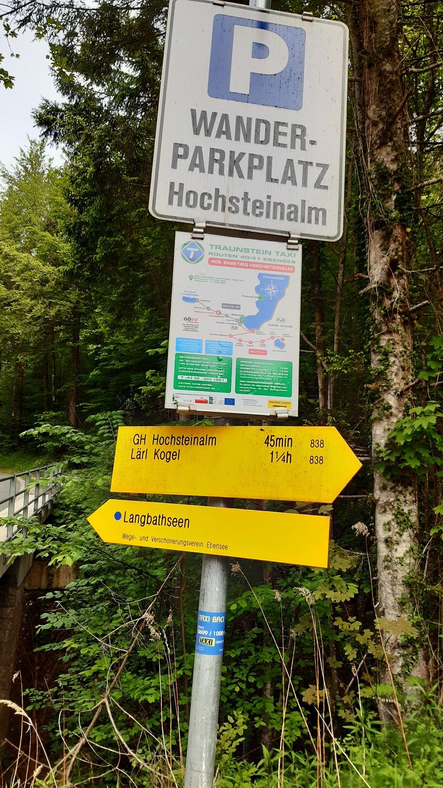


GPS Downloads


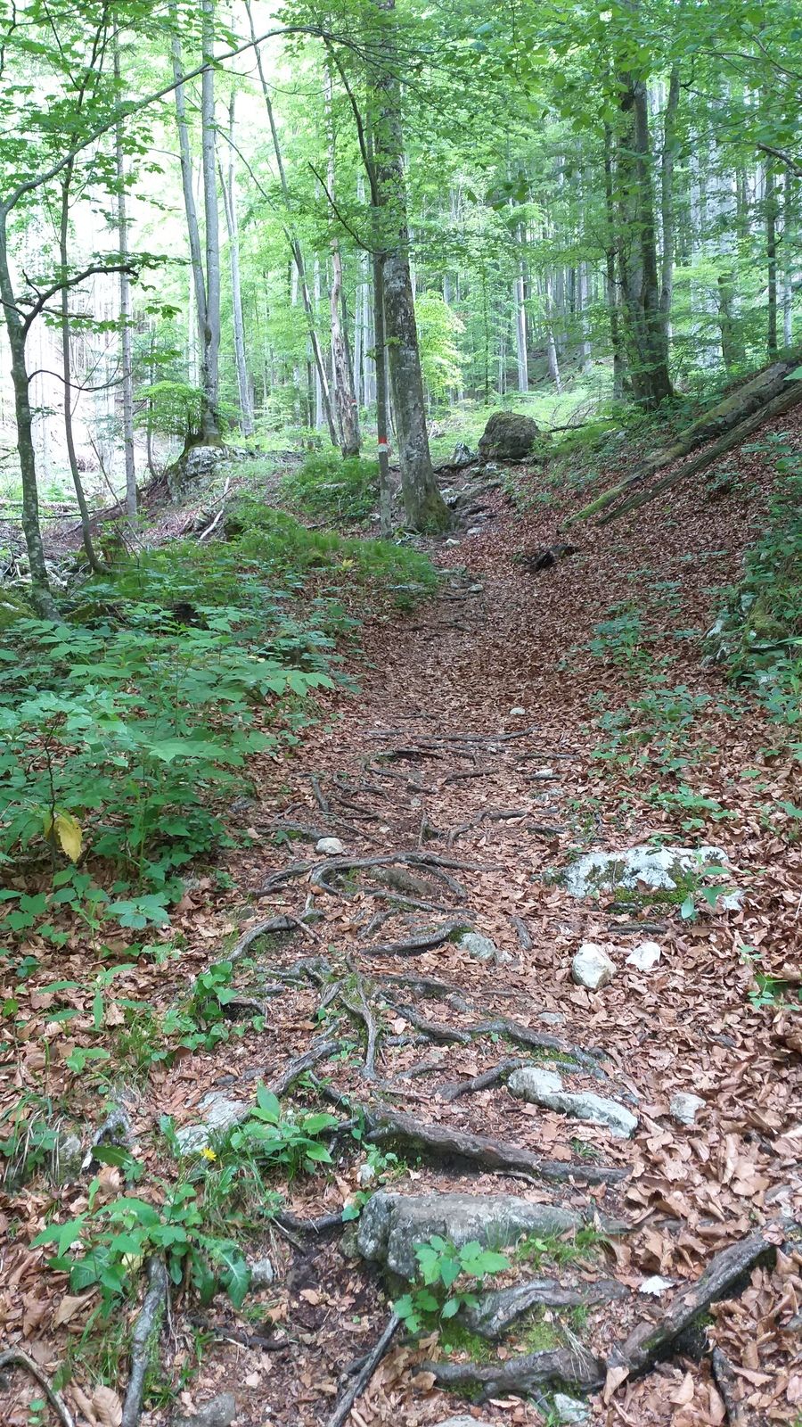
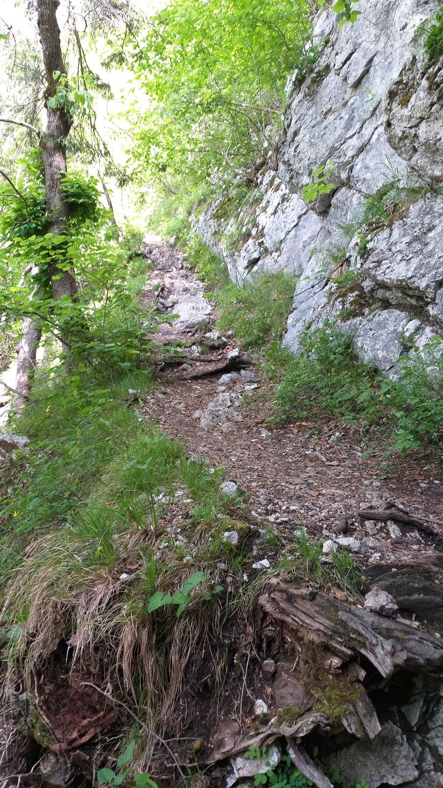
Trail conditions
Asphalt
Gravel
Meadow
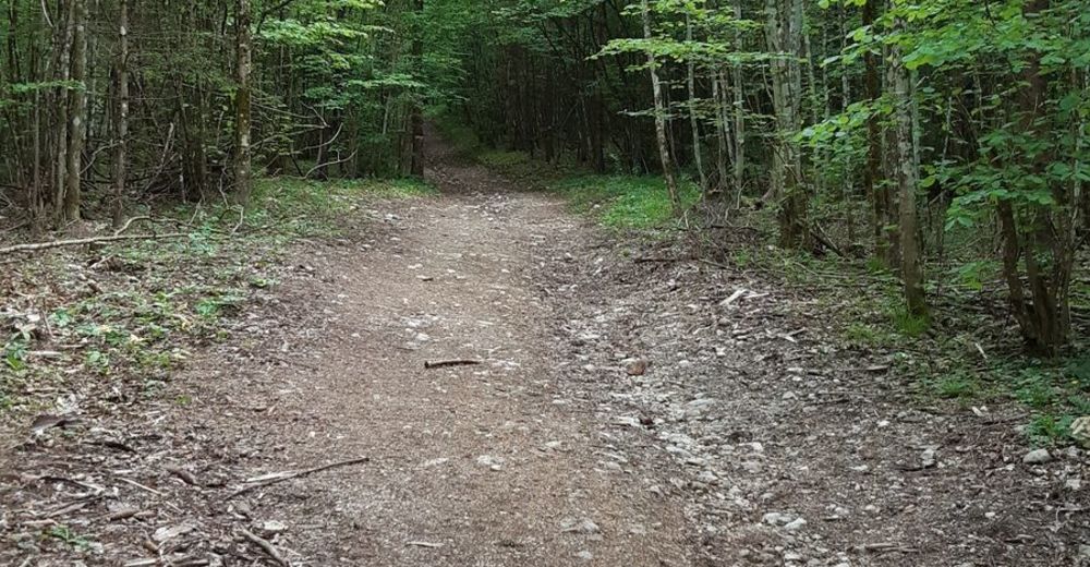
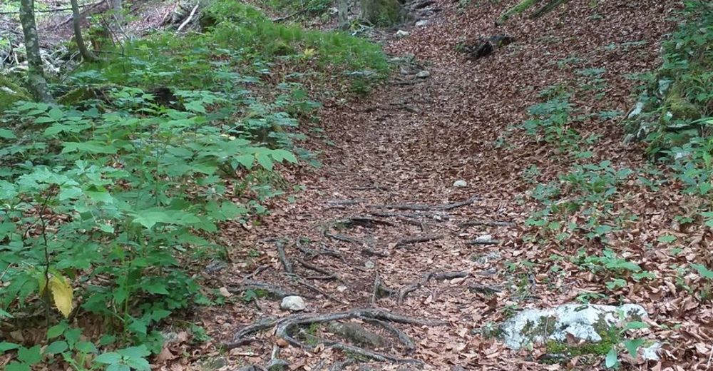
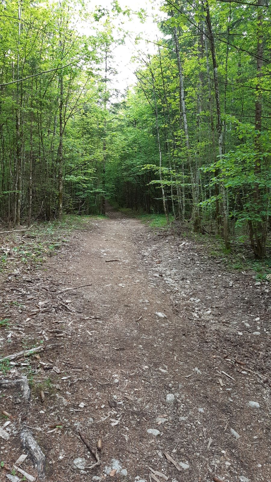
Forest
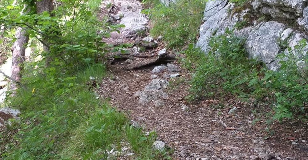
Rock
Exposed
Other tours in the regions