
© Nationalpark Kalkalpen/Sieghartsleitner - <a href="http://www.kalkalpen.at">Nationalpark Kalkalpen</a>
© Nationalpark Kalkalpen - <a href="http://www.kalkalpen.at">Nationalpark Kalkalpen</a>
© Nationalpark Kalkalpen - <a href="http://www.kalkalpen.at">Nationalpark Kalkalpen</a>

© Unbekannt - <a href="http://www.kalkalpen.at">Nationalpark Kalkalpen</a>

- Brief description
-
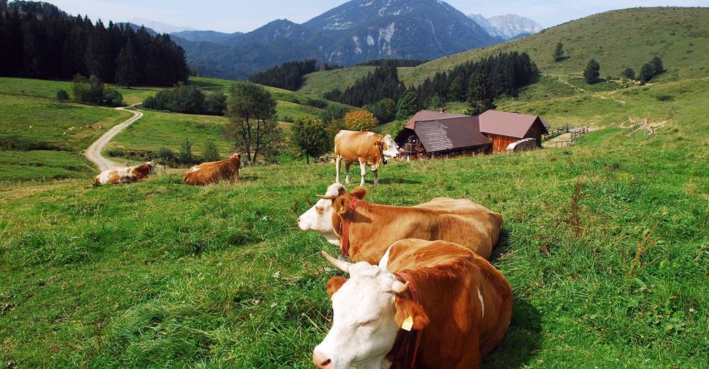
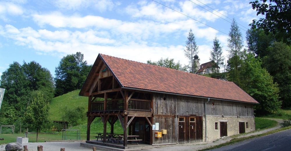
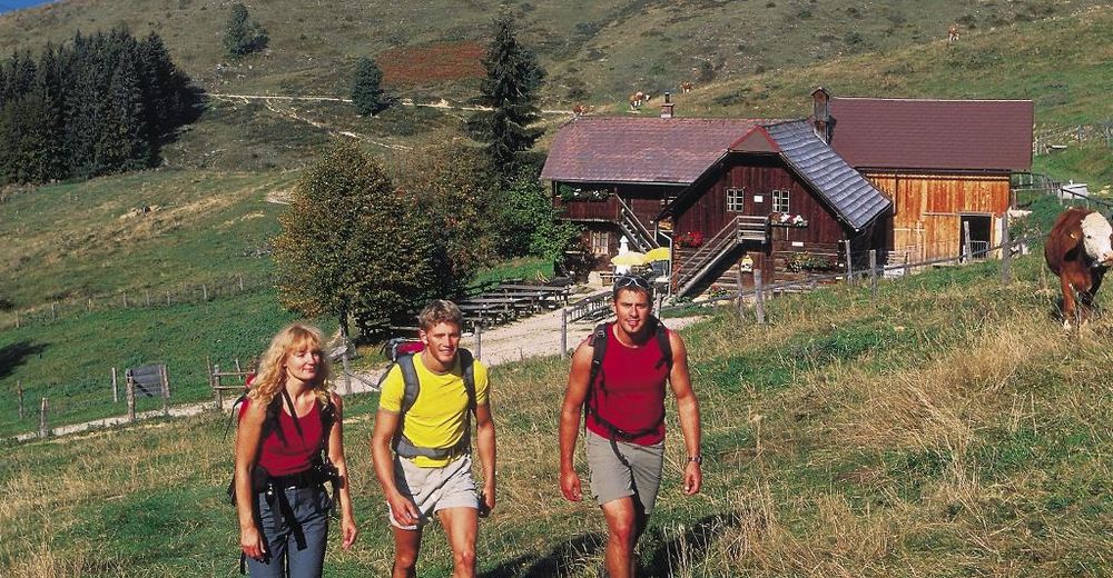
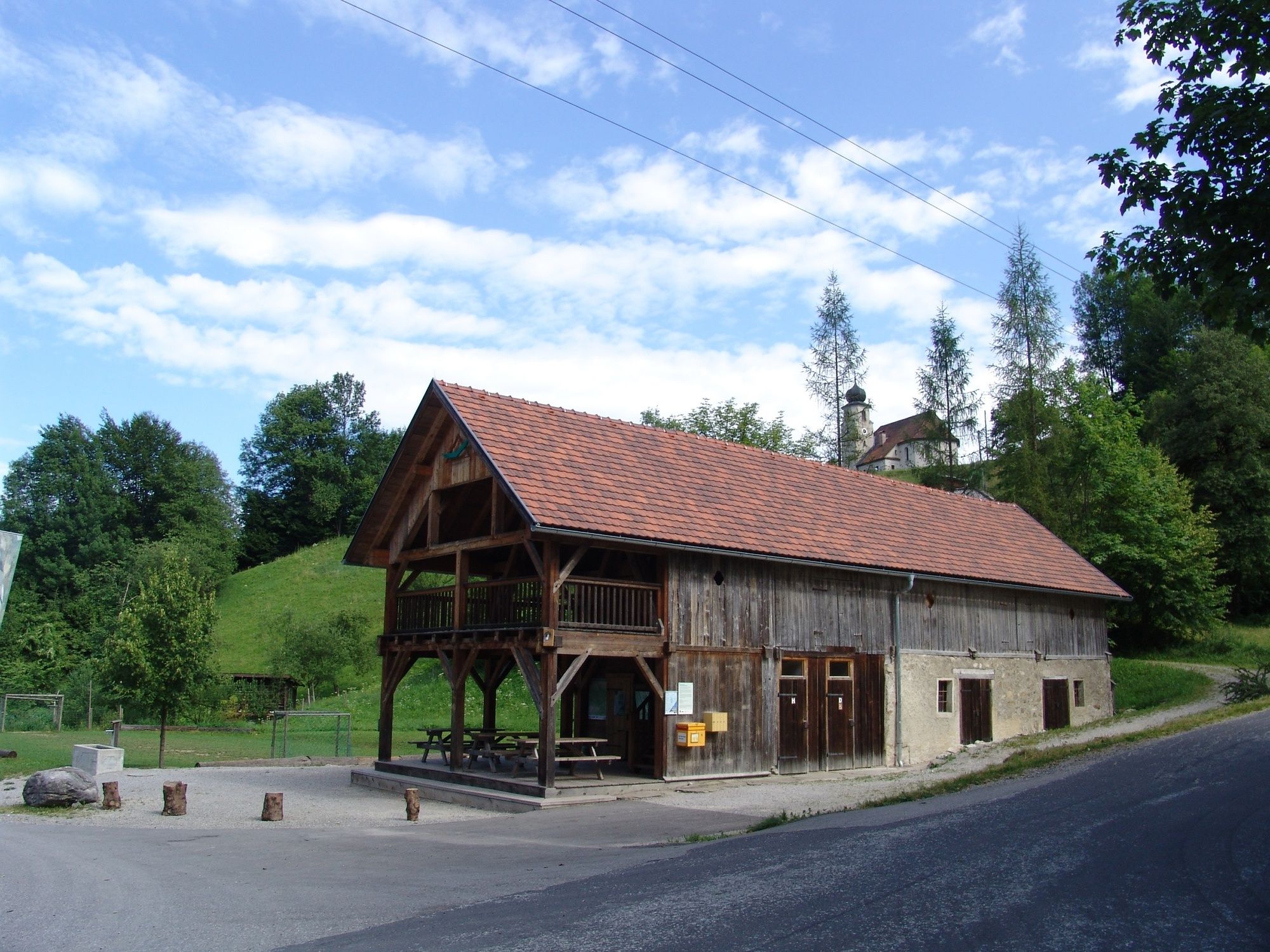
Brunnbach - Anlaufalm im Nationalpark Kalkalpen
- Difficulty
-
medium
- Rating
-
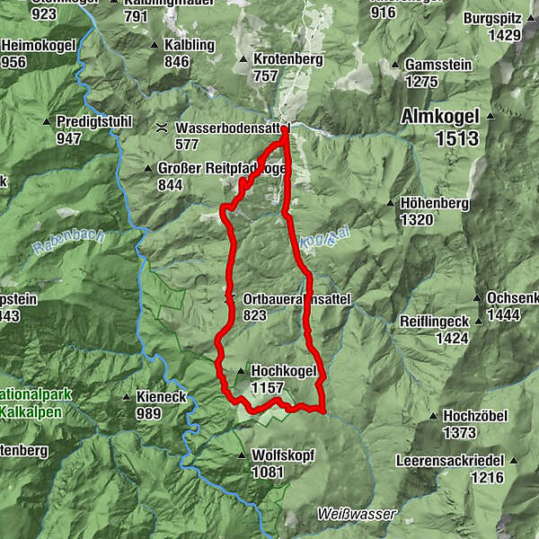
- Route
-
Brunnbach (522 m)Brunnbachstadl0.0 kmDrei Bilder5.6 kmAnlaufalm6.6 kmOrtbaueralmsattel (823 m)10.2 km
- Best season
-
JanFebMarAprMayJunJulAugSepOctNovDec
- Highest point
- 1,012 m
- Endpoint
-
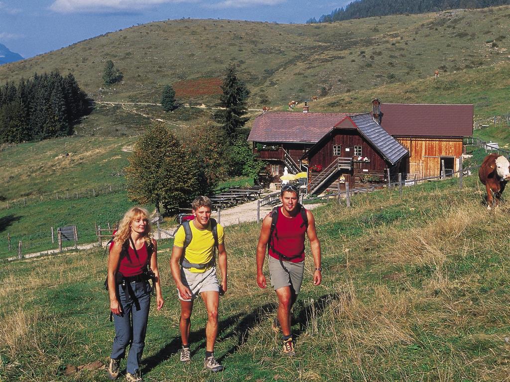
Anlaufalm im Reichraminger Hintergebirge
- Height profile
-


- Author
-
The tour Anlaufalm ab Brunnbach, Rundwanderung is used by outdooractive.com provided.
All ratings
Myriam Schmelzer
06. Apr. 2024
2024/04/07 War sicher mal eine schöne Tour. Allerdings bevor schwere Baugeräte die Waldwege ruiniert haben und ganze Flächen abgeholzt wurden. Schade.
GPS Downloads


General info
Refreshment stop
Flora
Other tours in the regions
-
Gesäuse
2225
-
Steyr und die Nationalpark Region
1371
-
Großraming
334


