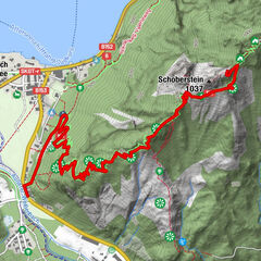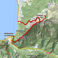
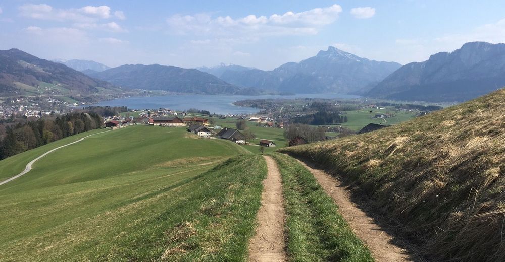
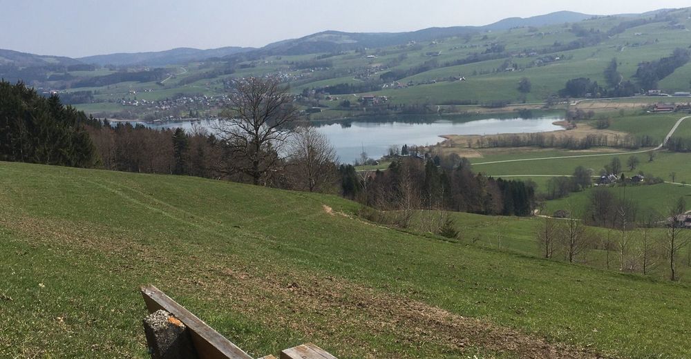
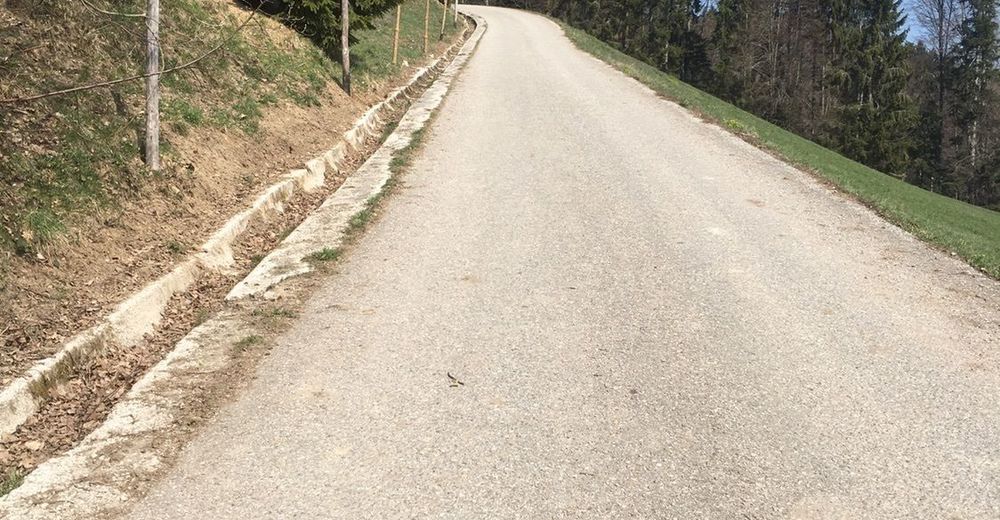
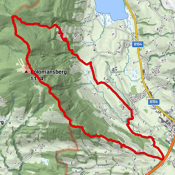
Tour data
16.03km
519
- 1,085m
560hm
568hm
04:41h
- Difficulty
-
medium
- Rating
-
- Route
-
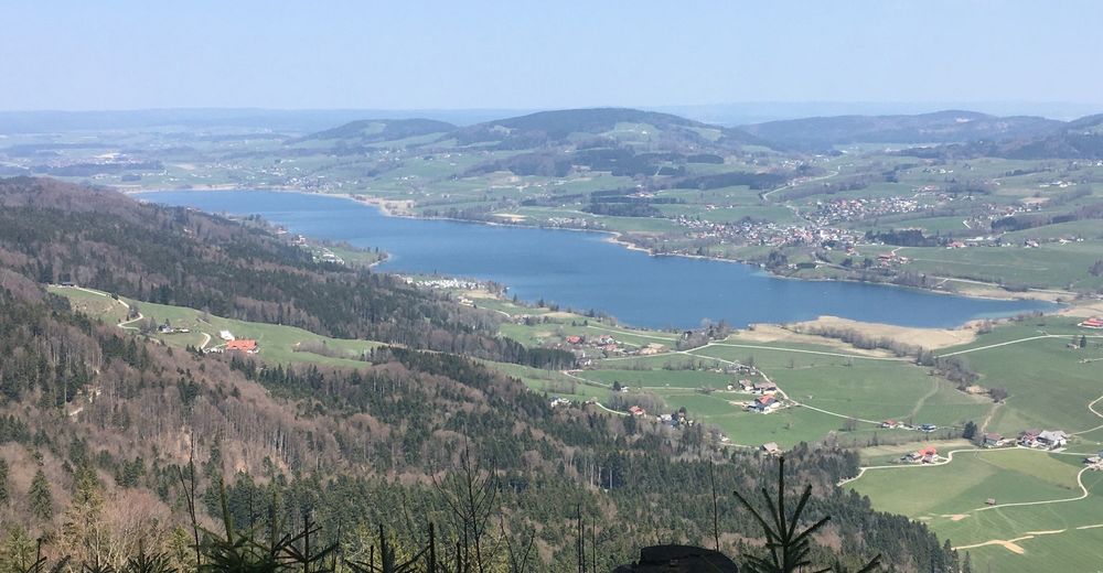
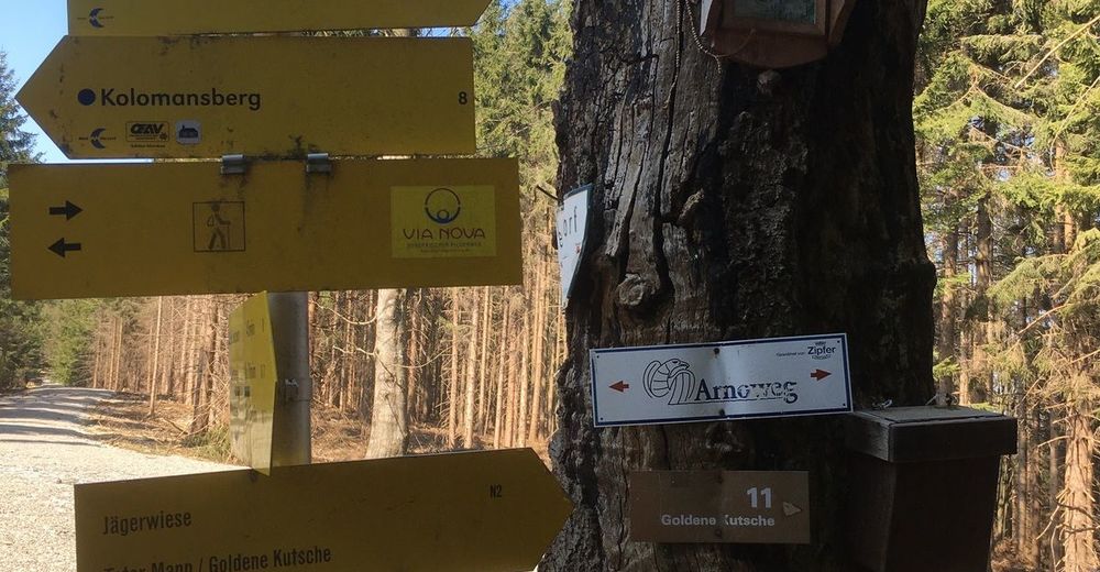
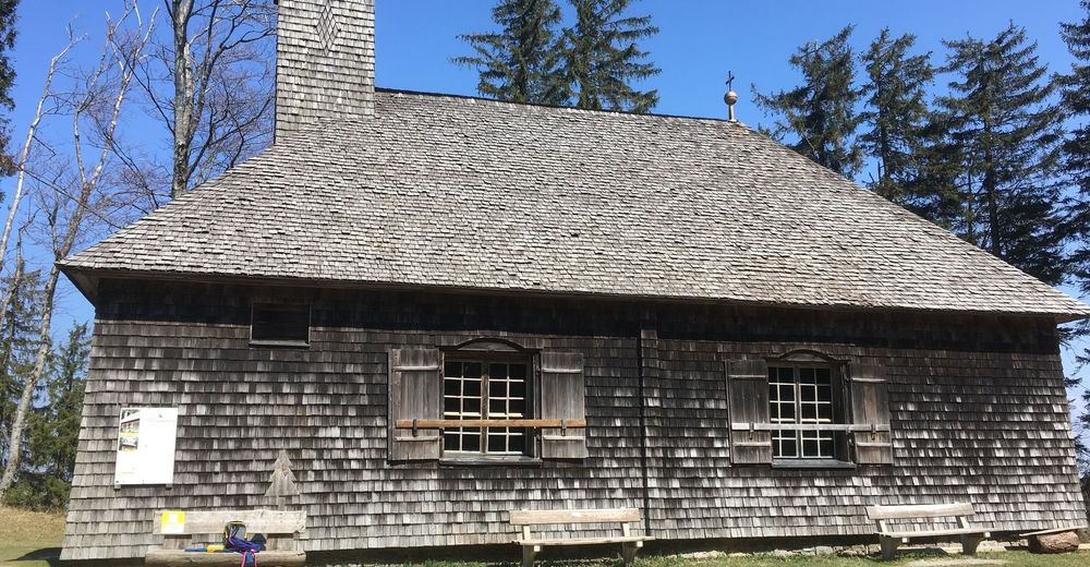
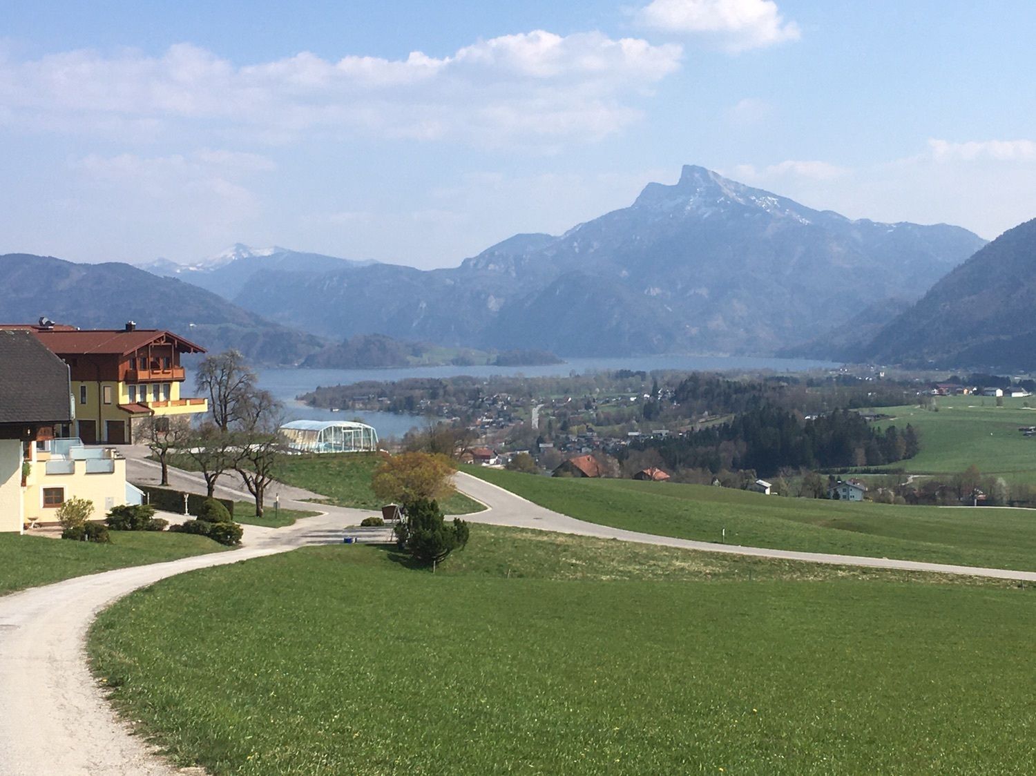
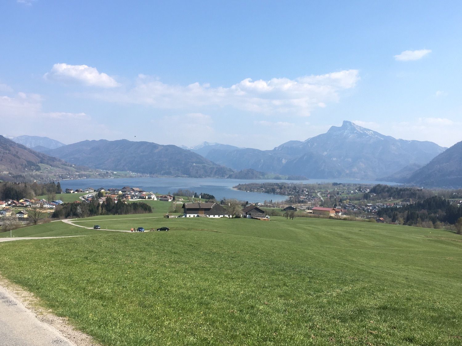
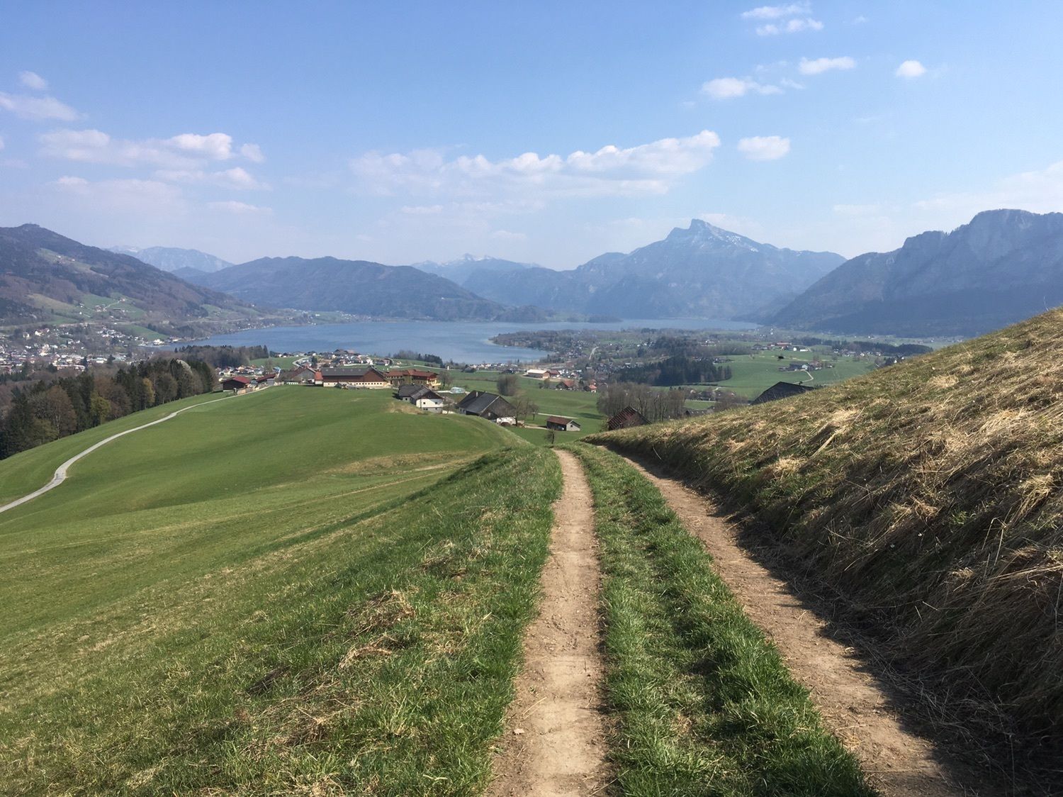
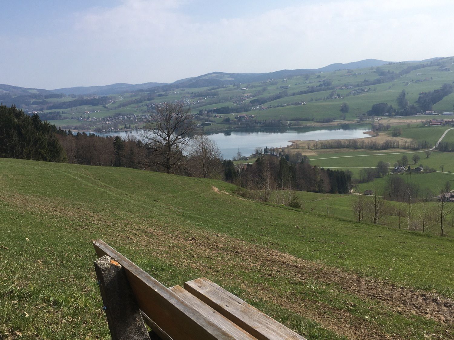
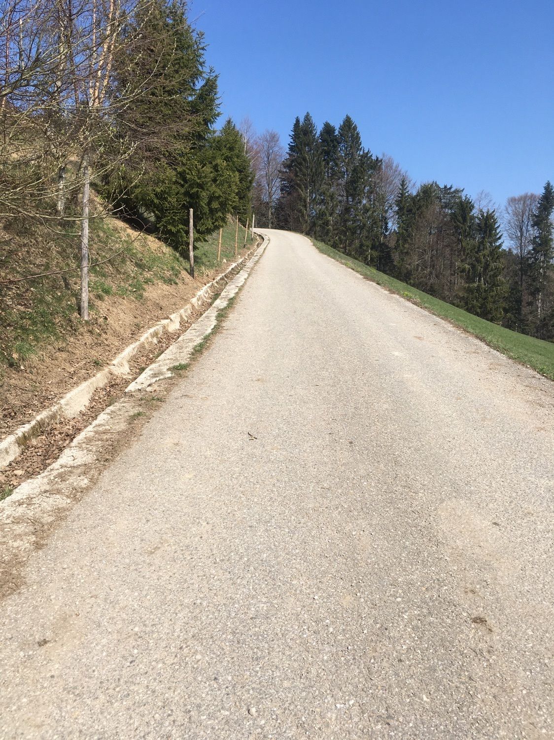
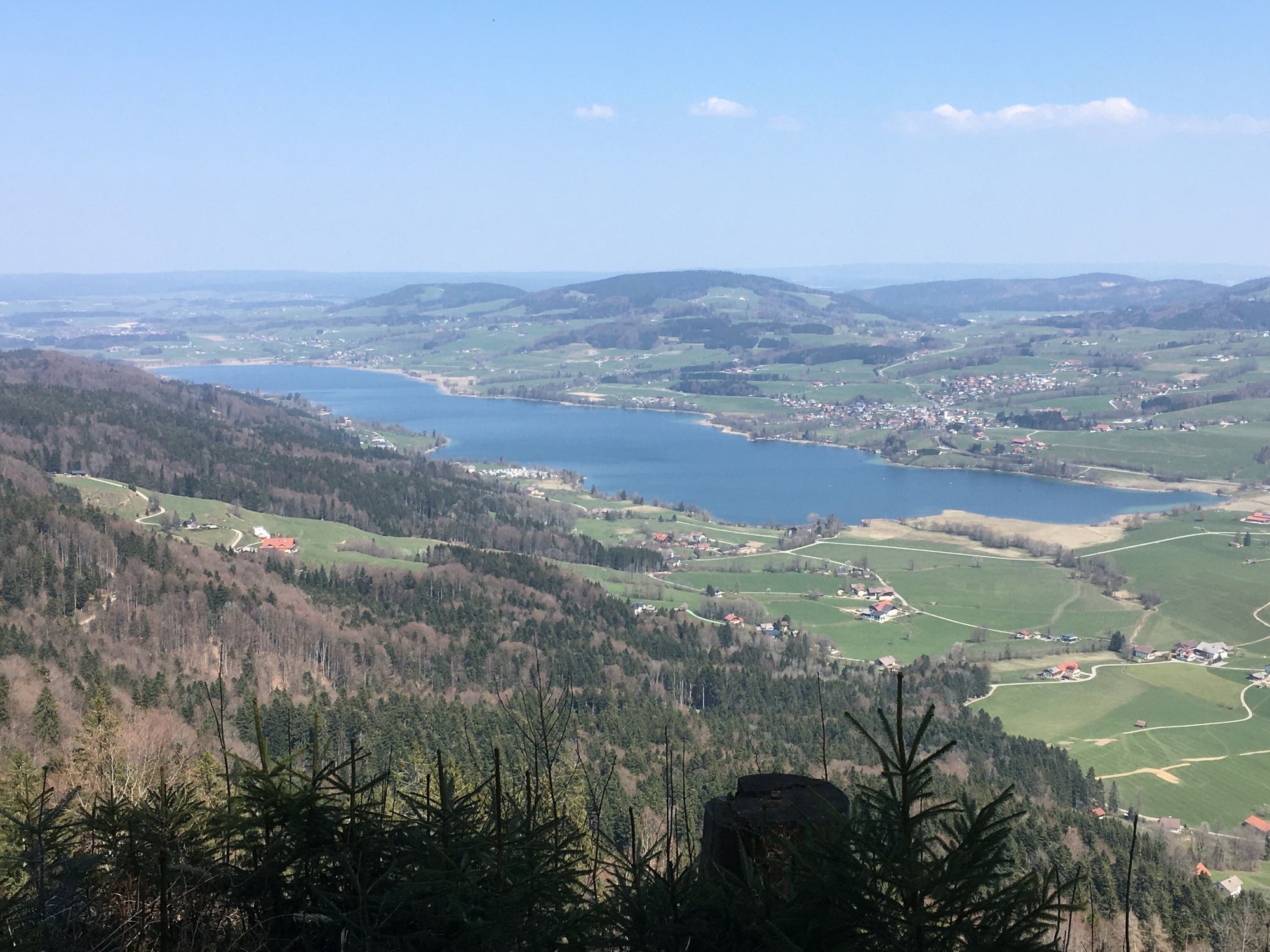
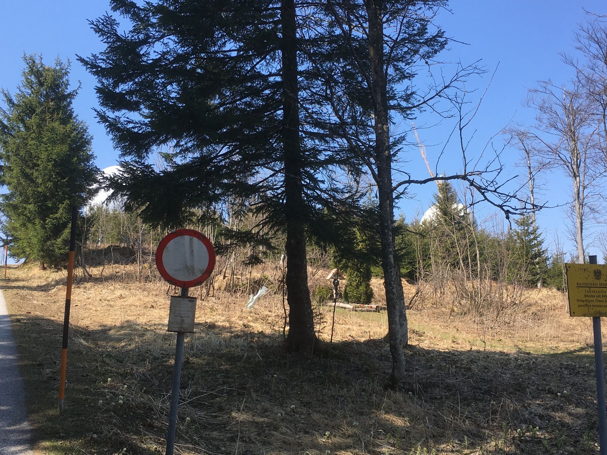
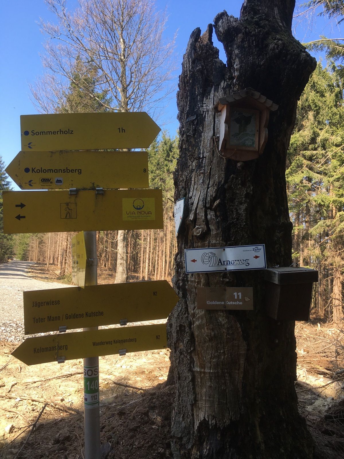
Jausenstation Hochserner5.2 kmKolomanssenke (970 m)8.7 kmKolomanskirche9.5 km
- Highest point
- 1,085 m


GPS Downloads


Other tours in the regions