Tour data
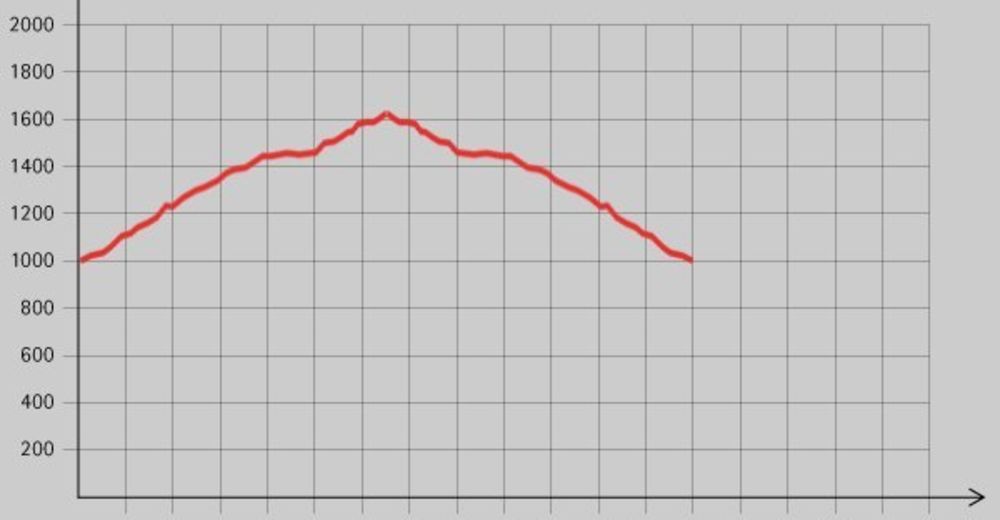
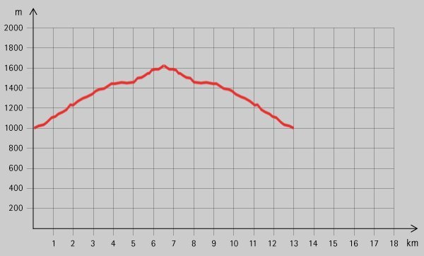
4.12km
428
- 1,511m
1,052hm
1,052hm
05:00h
- Brief description
-
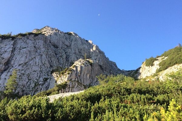
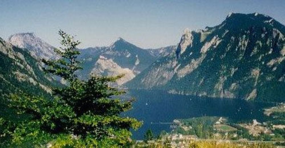
Schöne Wanderung mit tollen Aussichtspunkten.
- Difficulty
-
medium
- Rating
-
- Starting point
-
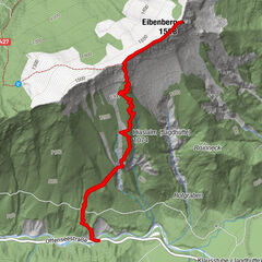
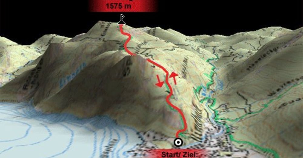
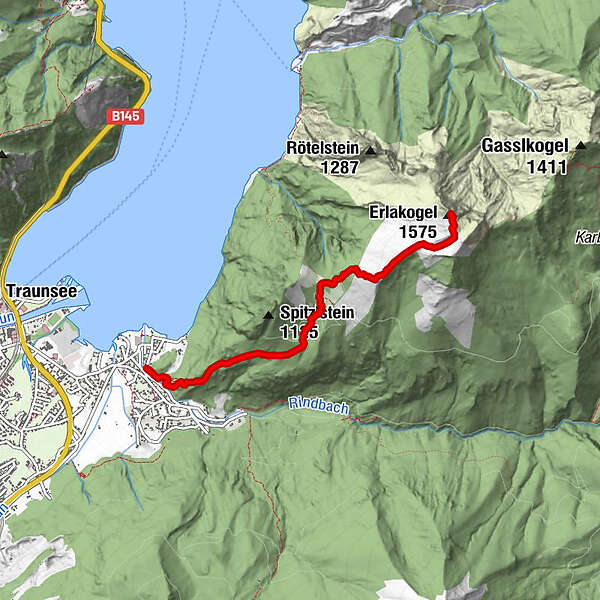
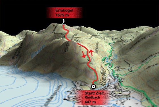
Rindbach (447 m)
- Route
-
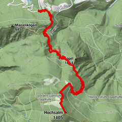
Rindbach0.3 kmQuelle Aloisbrünndl2.0 kmErlakogel (1,575 m)4.1 km
- Best season
-
JanFebMarAprMayJunJulAugSepOctNovDec
- Highest point
- 1,511 m
- Rest/Retreat
-
Entlang der Strecke gibt es keine Einkehrmöglichkeit!
- Ticket material

All ratings
Maximilian Brenninger
07. Apr. 2024
Erlakogel
GPS Downloads


Trail conditions
Asphalt
Gravel
Meadow
Forest
Rock
Exposed
Other tours in the regions
-
Salzkammergut Oberösterreich
3089
-
Traunsee-Almtal
911
-
Traunkirchen
334