Tour data
17.66km
459
- 1,003m
593hm
609hm
07:00h
- Brief description
-
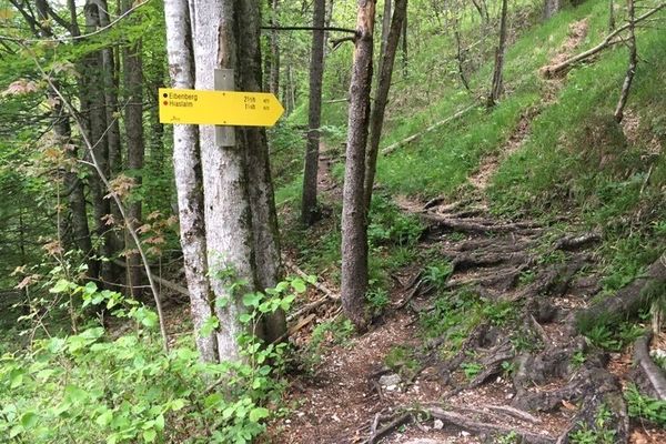
Wanderung auf die Alm Hoisnrad und durch die Rettenbachklamm von Bad Ischl ausgehend.
- Difficulty
-
medium
- Rating
-
- Starting point
-
überall in Bad Ischl möglich
- Route
-
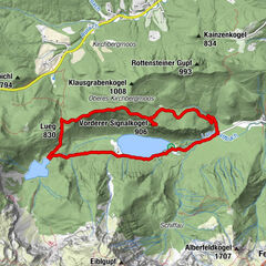
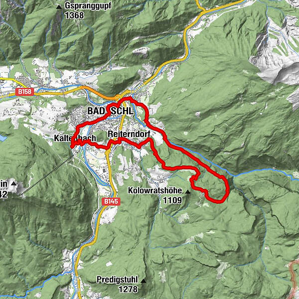
Kaltenbach0.1 kmRindenkapelle0.8 kmBad Ischl2.6 kmReiterndorf2.9 kmHoisnradalm (969 m)6.9 kmGamsofen9.7 kmHinterstein12.8 kmKarstquelle Hubhanslau13.3 kmRettenbach14.0 kmBad Ischl15.6 kmSt. Nikolaus15.6 kmKaltenbach17.6 km
- Best season
-
JanFebMarAprMayJunJulAugSepOctNovDec
- Highest point
- Hoisnrad Alm (1,003 m)
- Endpoint
-
Da wo man gestartet ist.
- Rest/Retreat
-
Hoisnrad Alm +lecker Brotzeit wird da angeboten+

GPS Downloads


Trail conditions
Asphalt
(etwa 7 km)
Gravel
(etwa 4 km)
Meadow
(etwa 1 km)
Forest
(etwa 6 km)
Rock
Exposed
Other tours in the regions
-
Salzkammergut Oberösterreich
3082
-
Bad Ischl
1646
-
Katrin-Alm
418