Tour data
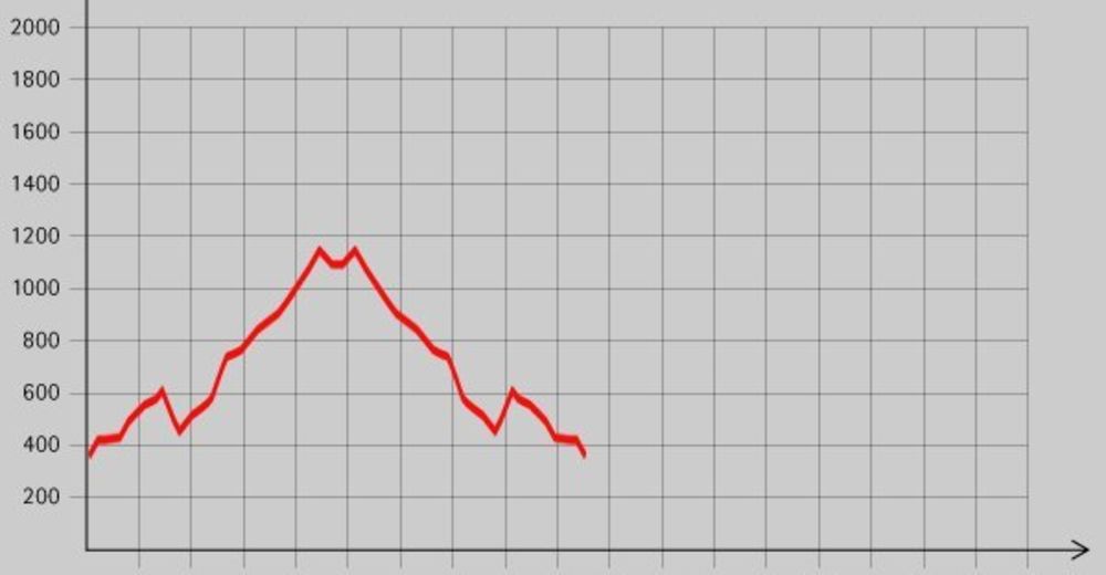
19.5km
365
- 1,151m
1,076hm
07:00h
- Brief description
-
Schöne Wanderung mit einigen Einkehrmöglichkeiten entlang der Strecke.
- Rating
-
- Starting point
-
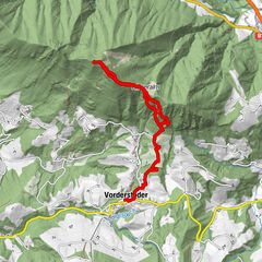
Ortsplatz von Reichraming (356 m)
- Route
-
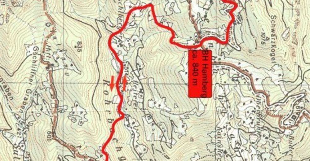
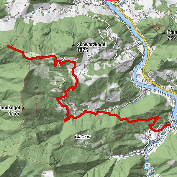
Reichraming0.0 kmPfarrkirche Reichraming0.0 kmHohe Dirn (1,134 m)9.5 km
- Highest point
- 1,151 m
- Rest/Retreat
-
GH Aglas, GH Damhofer, Bergrestaurant Hohe Dirn, Anton-Schosserhütte;
- Ticket material


GPS Downloads


Trail conditions
Asphalt
Gravel
Meadow
Forest
Rock
Exposed
Other tours in the regions
-
Traunviertel
1940
-
Steyr und die Nationalpark Region
1371
-
Losenstein
397