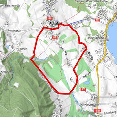
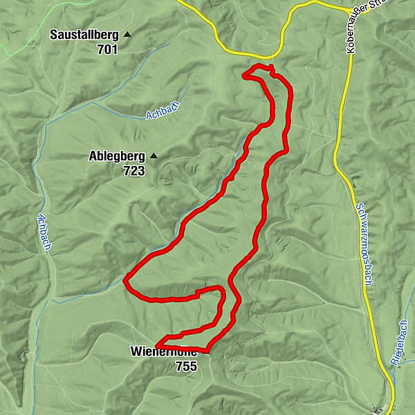
Tour data
11.76km
601
- 751m
234hm
221hm
02:24h
- Brief description
-
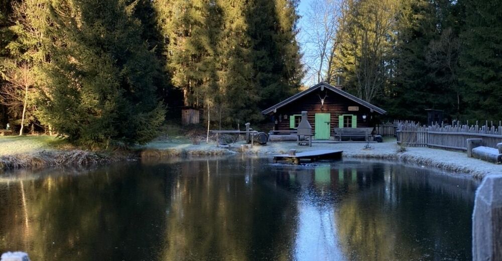
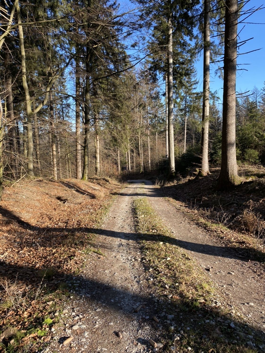
Leichte aber schöne Wanderung
- Difficulty
-
easy
- Rating
-
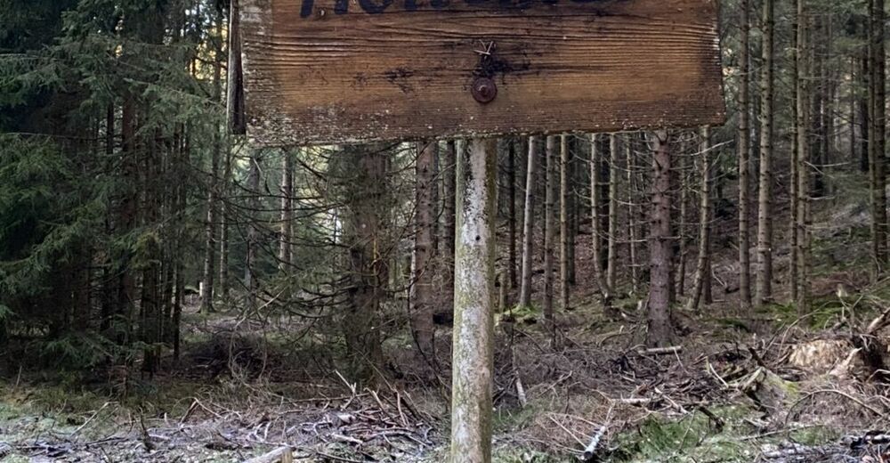
- Route
-
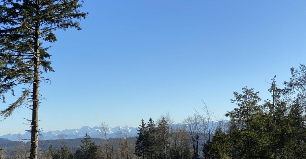
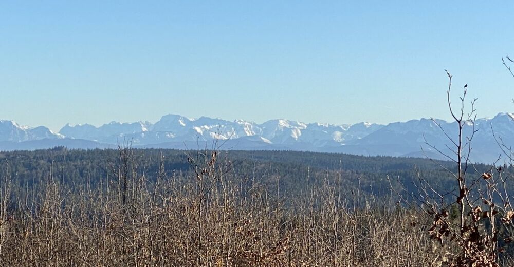
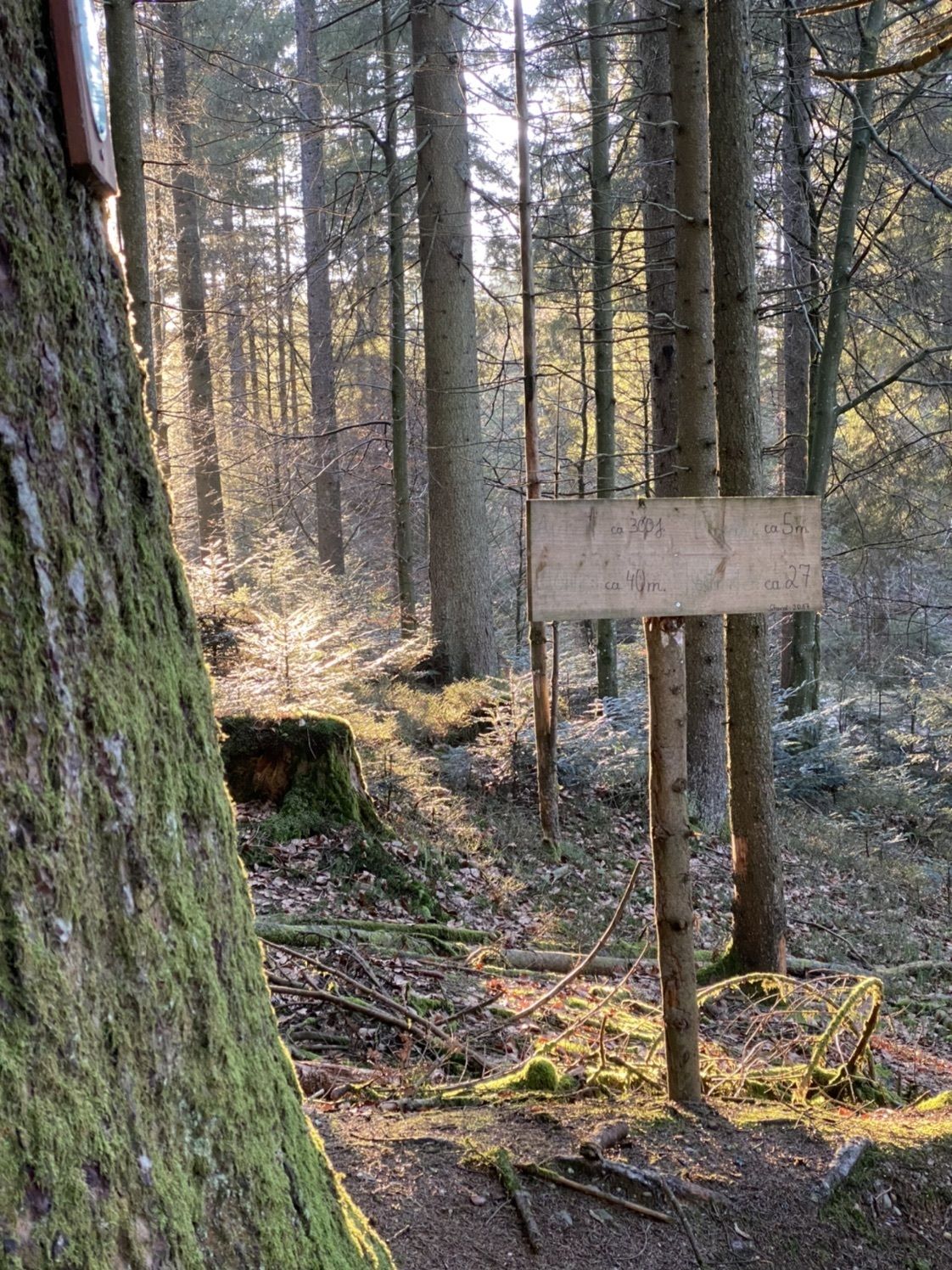
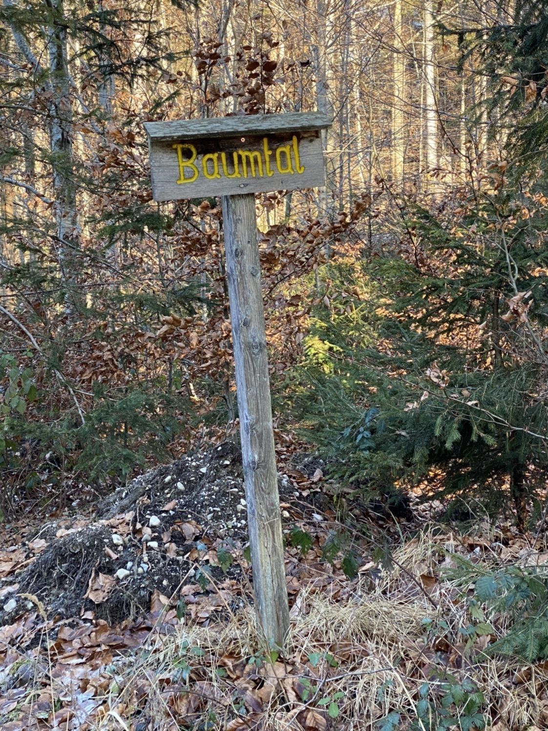
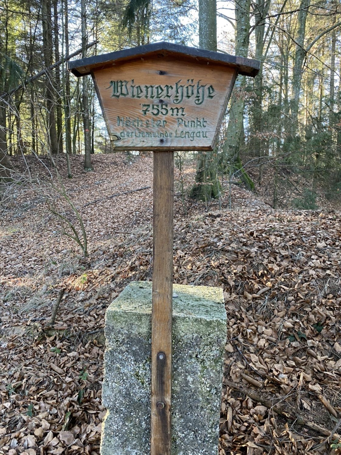
Wienerhöhe (755 m)4.1 km
- Best season
-
JanFebMarAprMayJunJulAugSepOctNovDec
- Highest point
- 751 m


GPS Downloads


Other tours in the regions
-
Innviertel
797
-
s'Innviertel
341
-
St. Johann am Walde
79