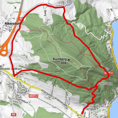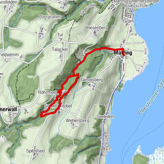


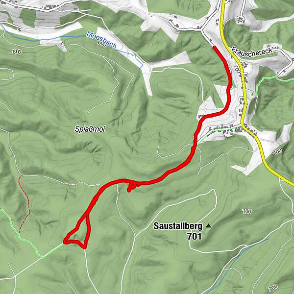
Tour data
4.53km
665
- 694m
33hm
48hm
00:58h
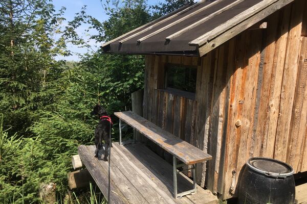
- Brief description
-
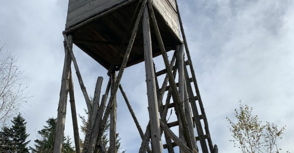
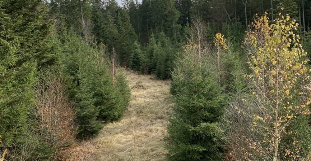
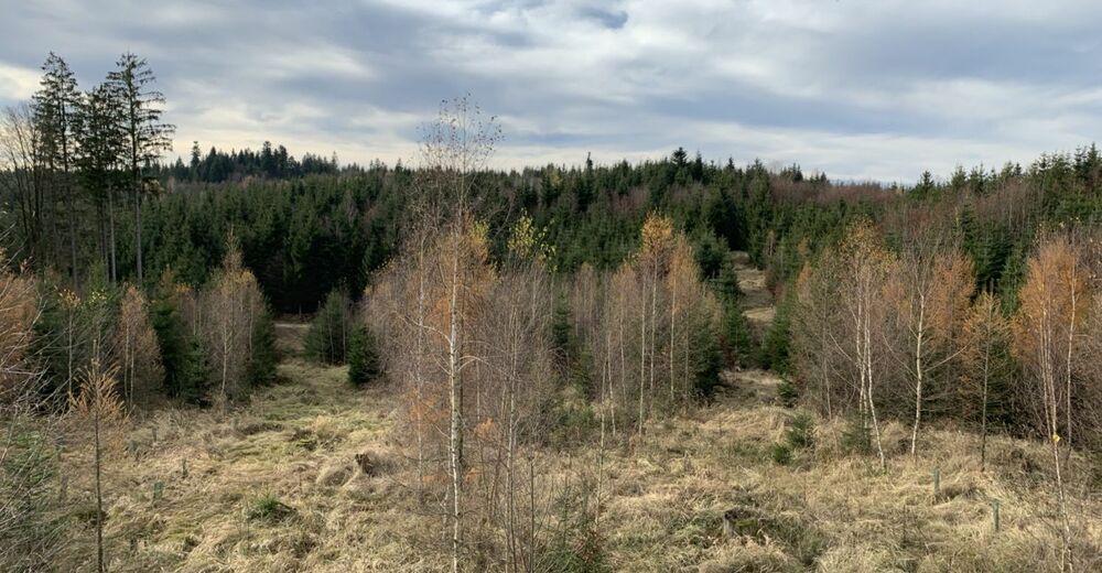
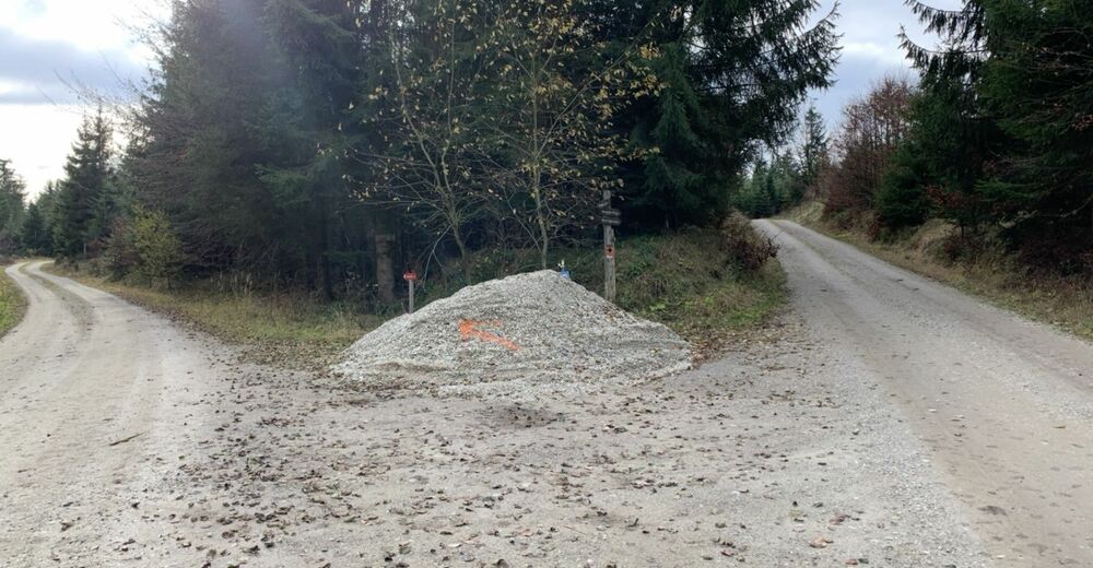
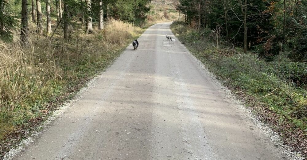
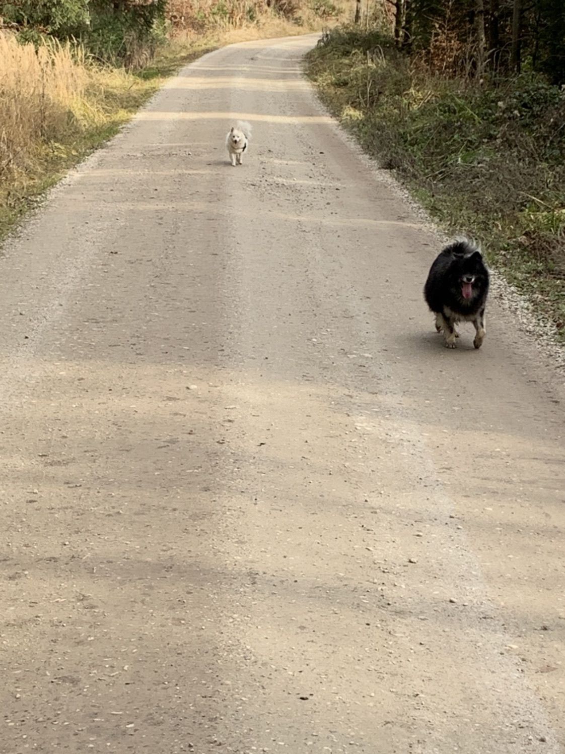
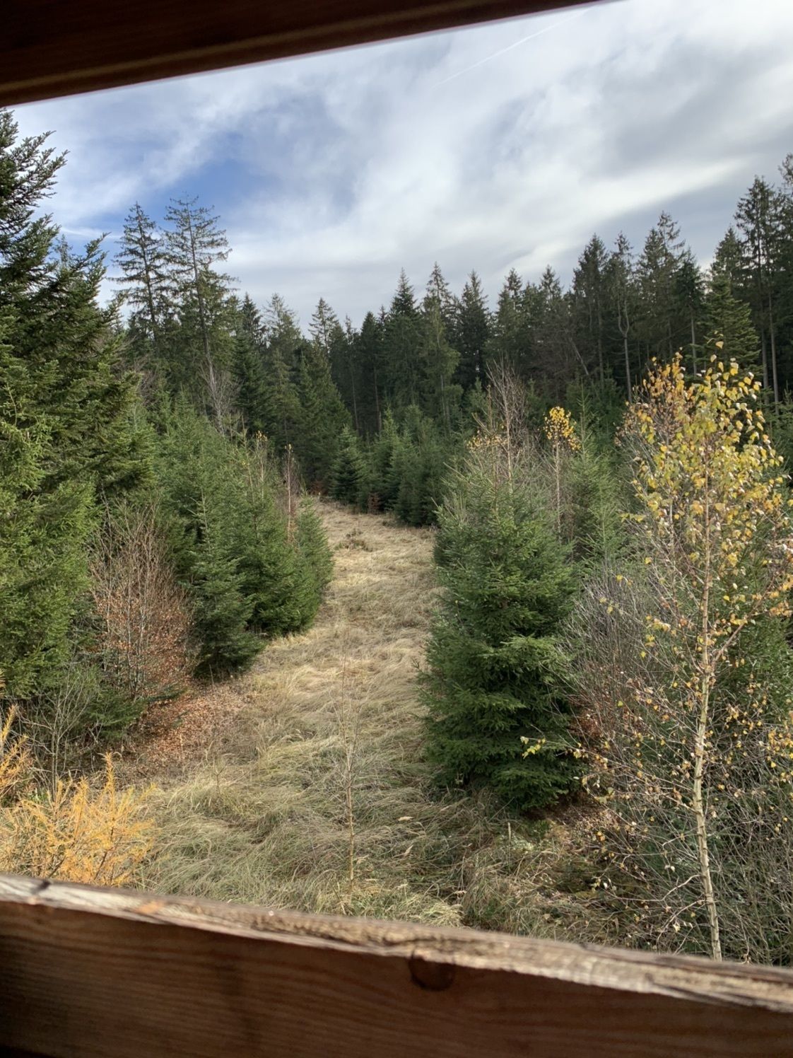
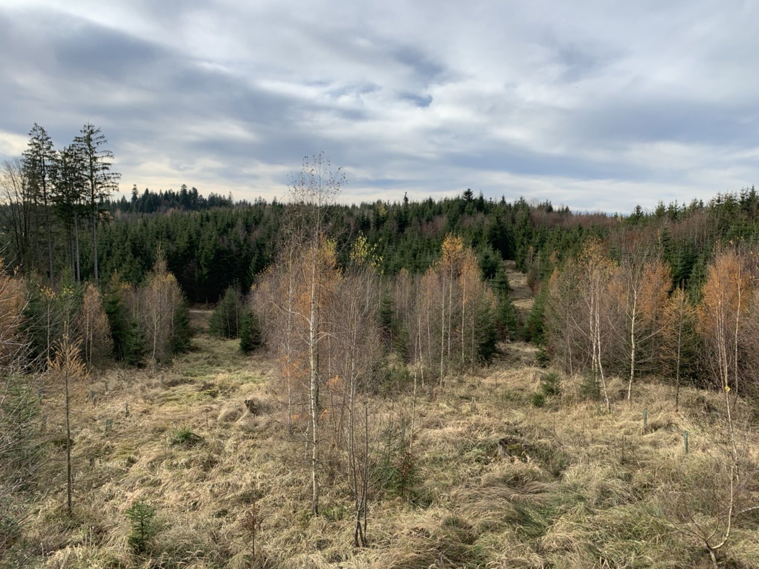
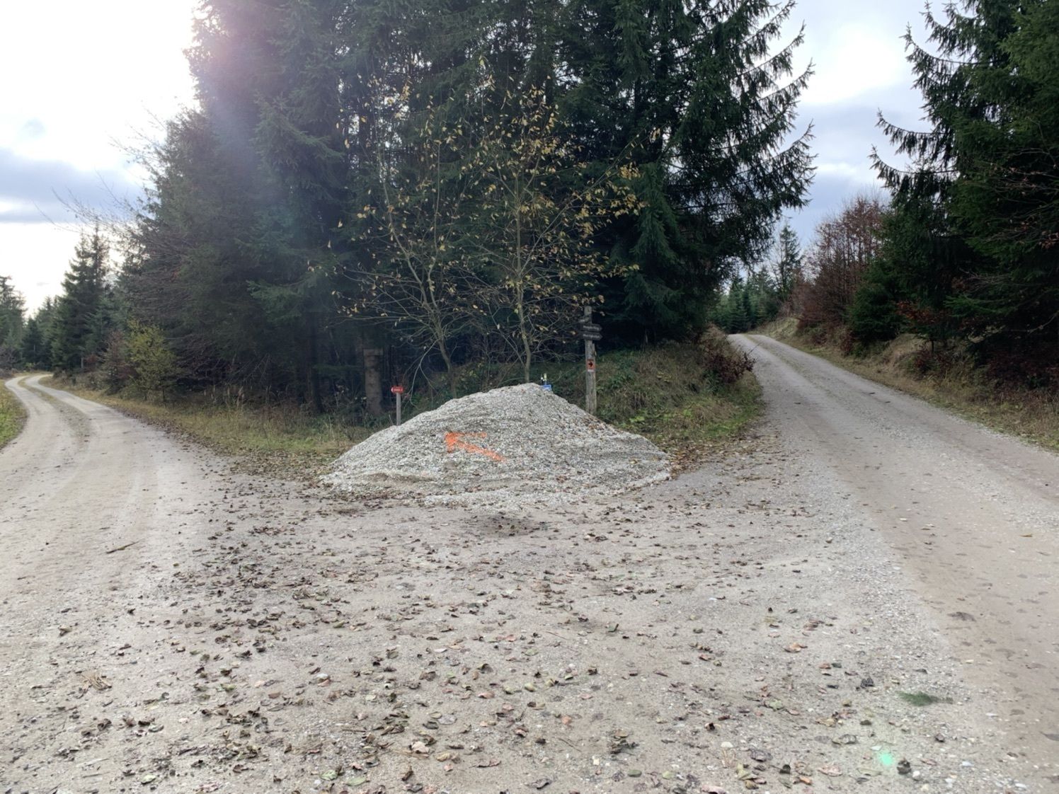
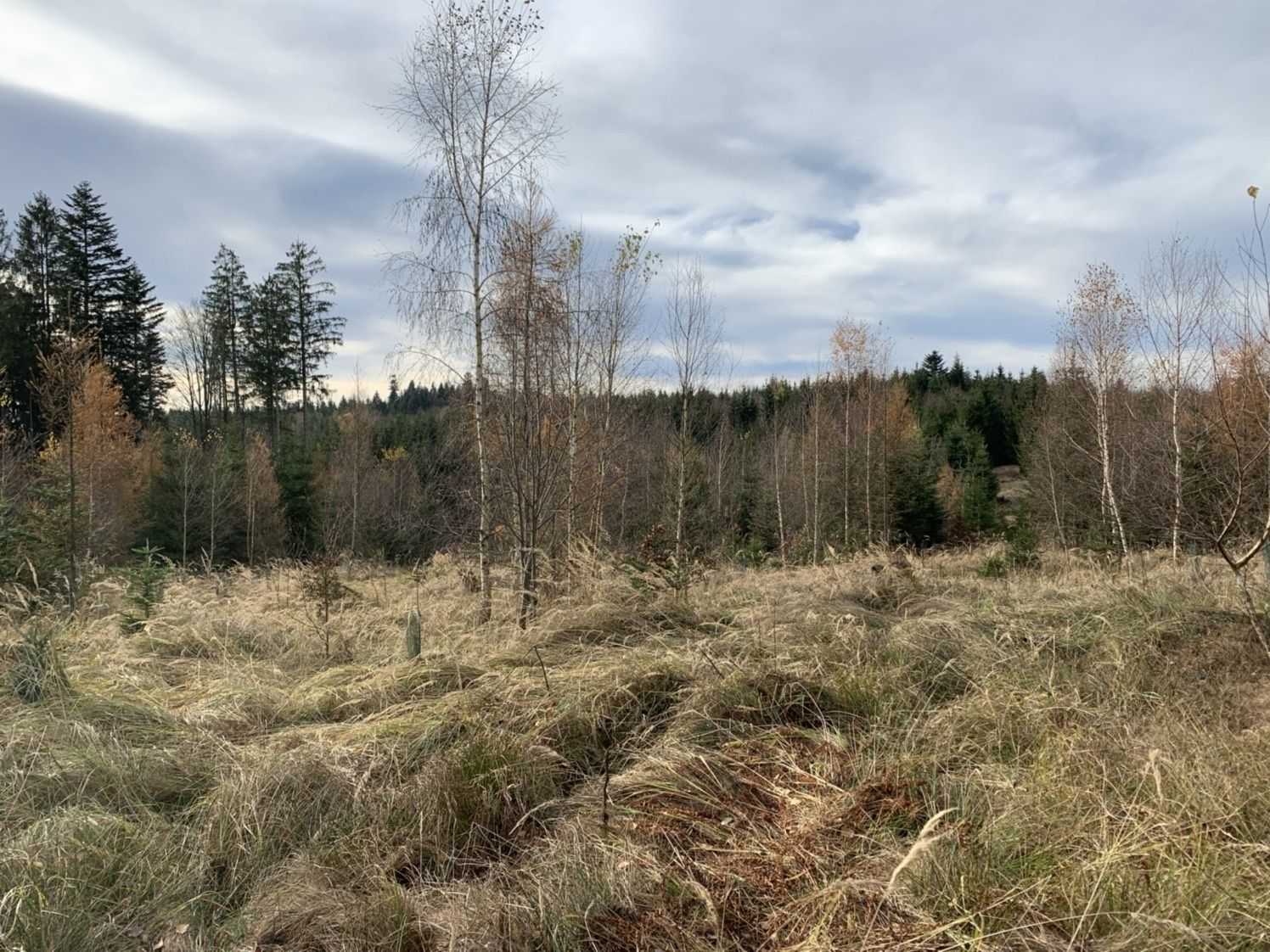
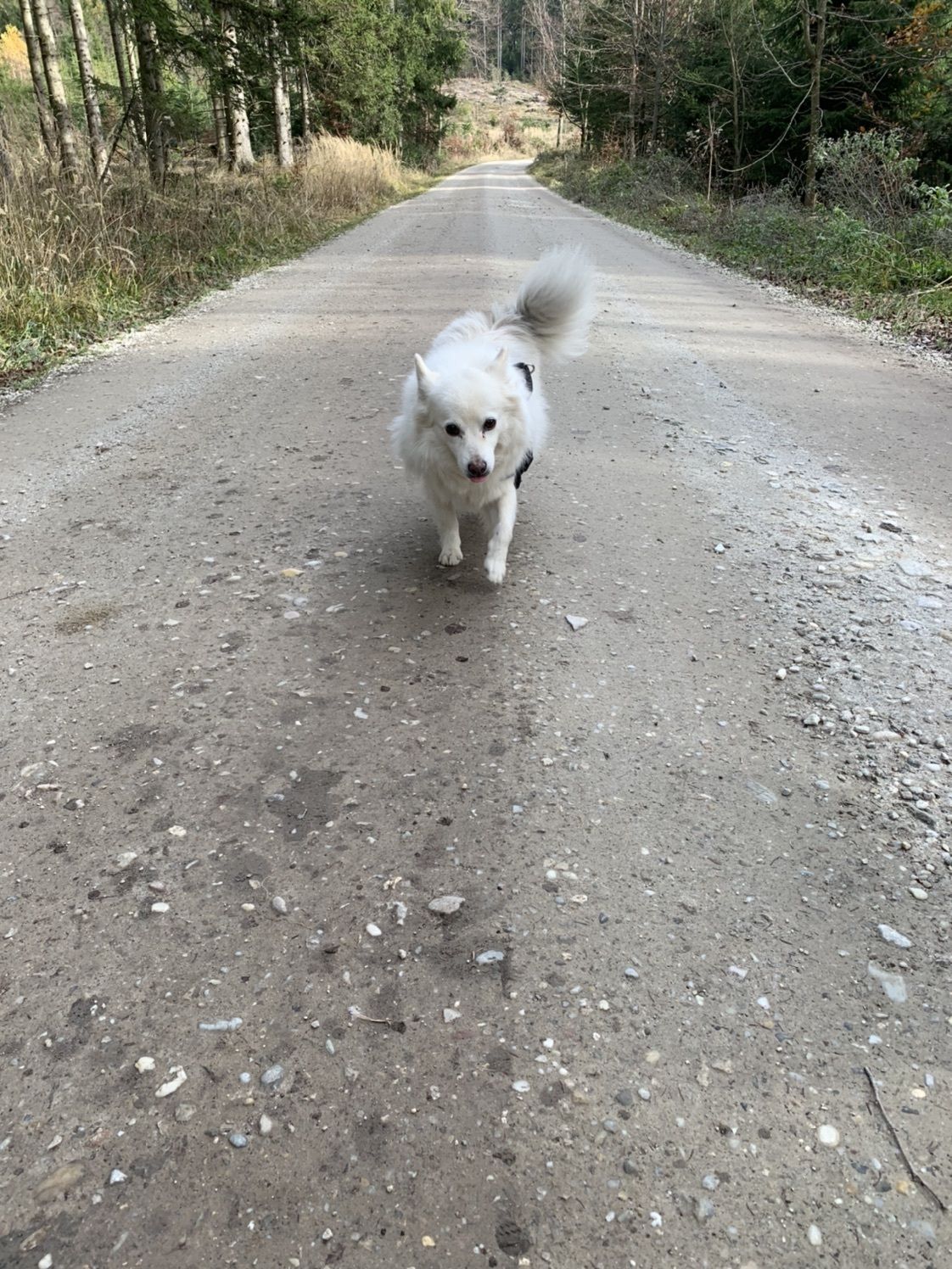
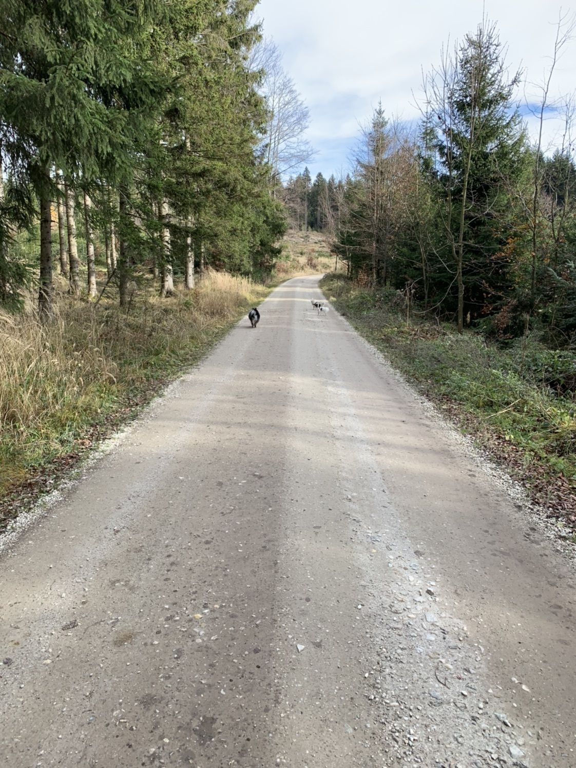
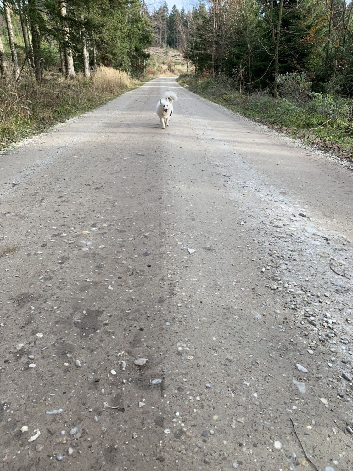
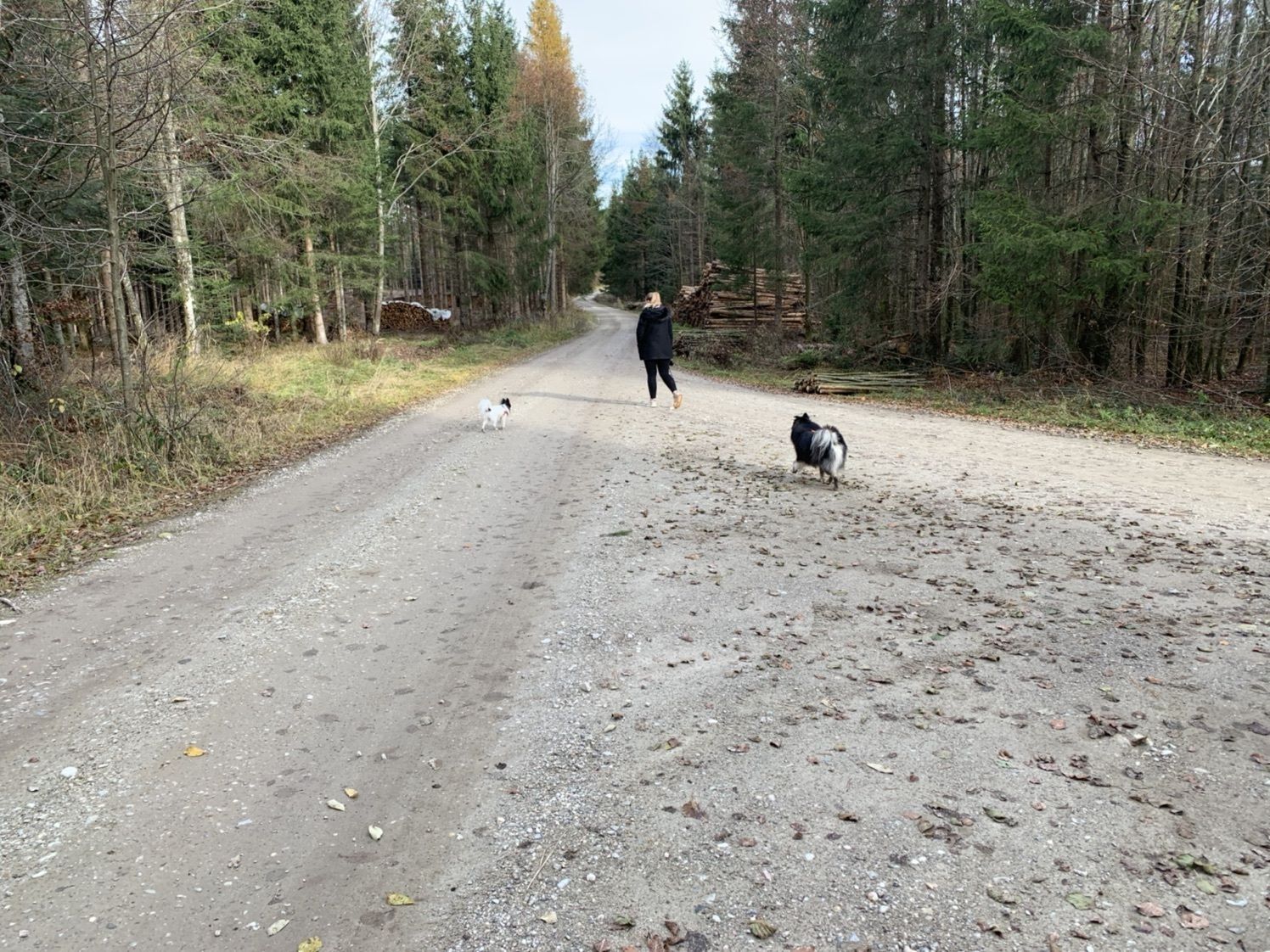
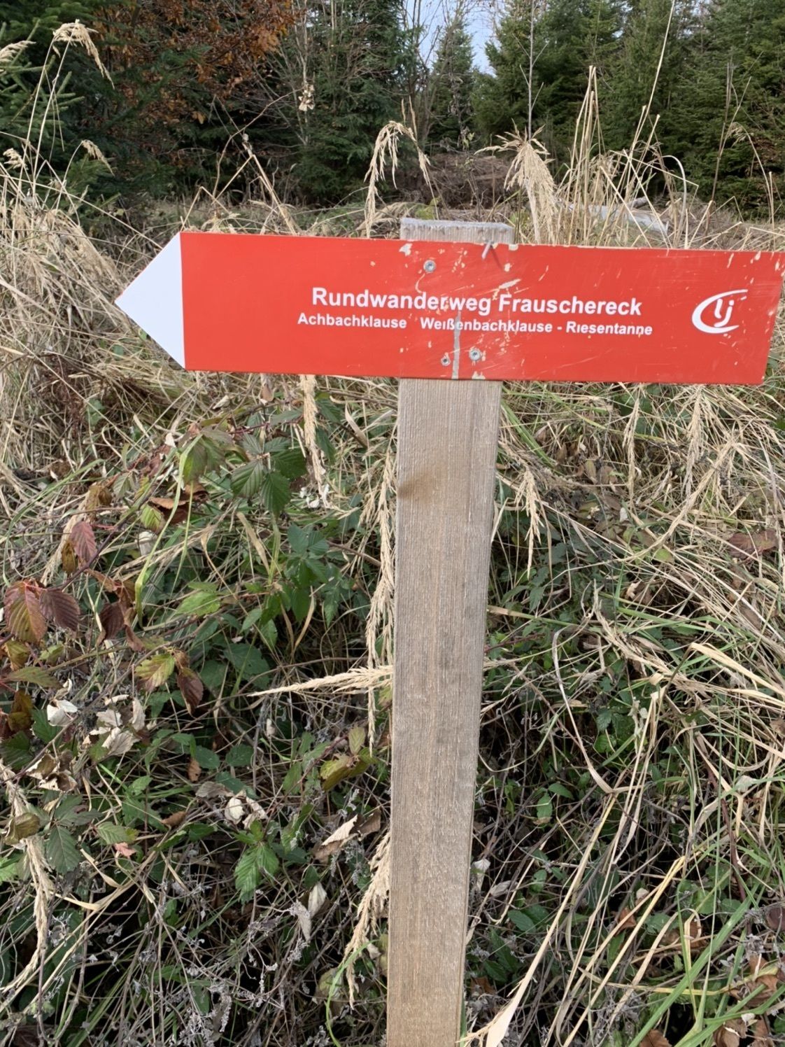
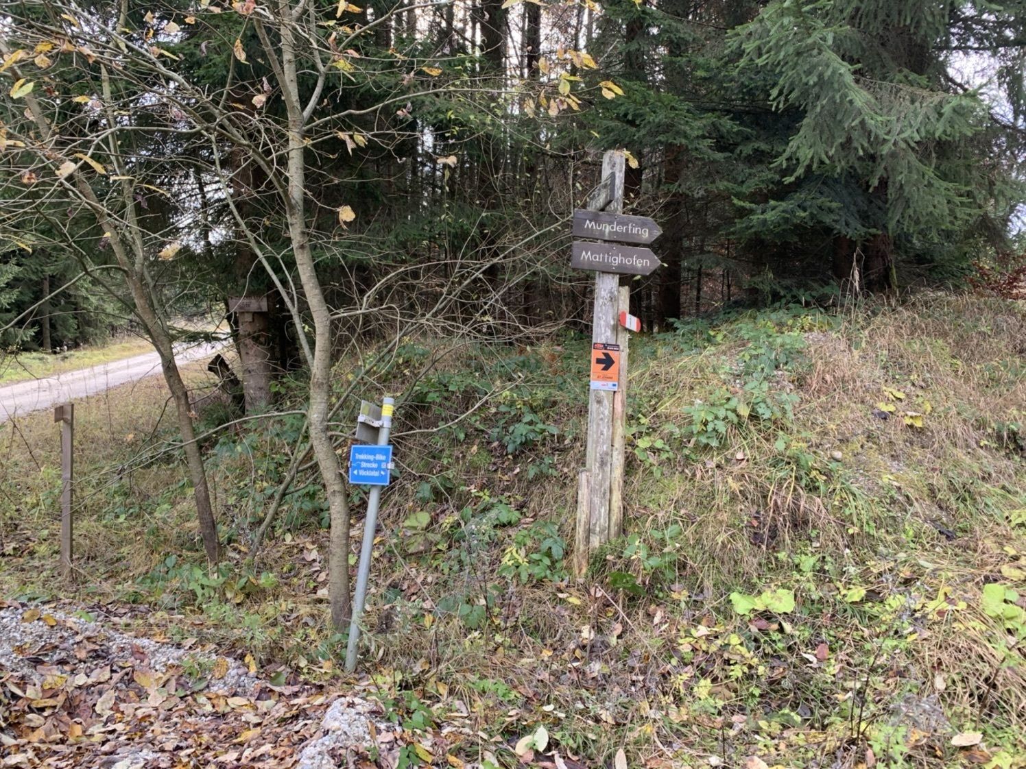
Forstweg frauschereck richtung munderfin
- Difficulty
-
easy
- Rating
-
- Highest point
- 694 m

GPS Downloads


Other tours in the regions
-
Innviertel
797
-
s'Innviertel
341
-
St. Johann am Walde
79