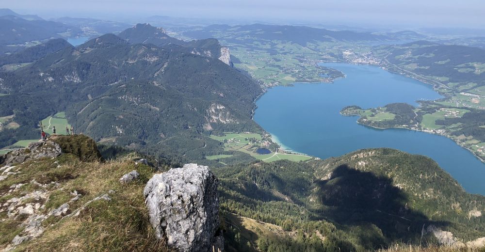
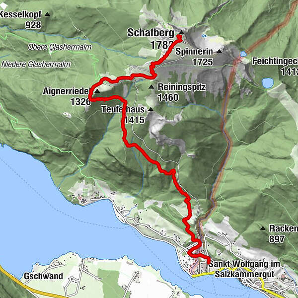
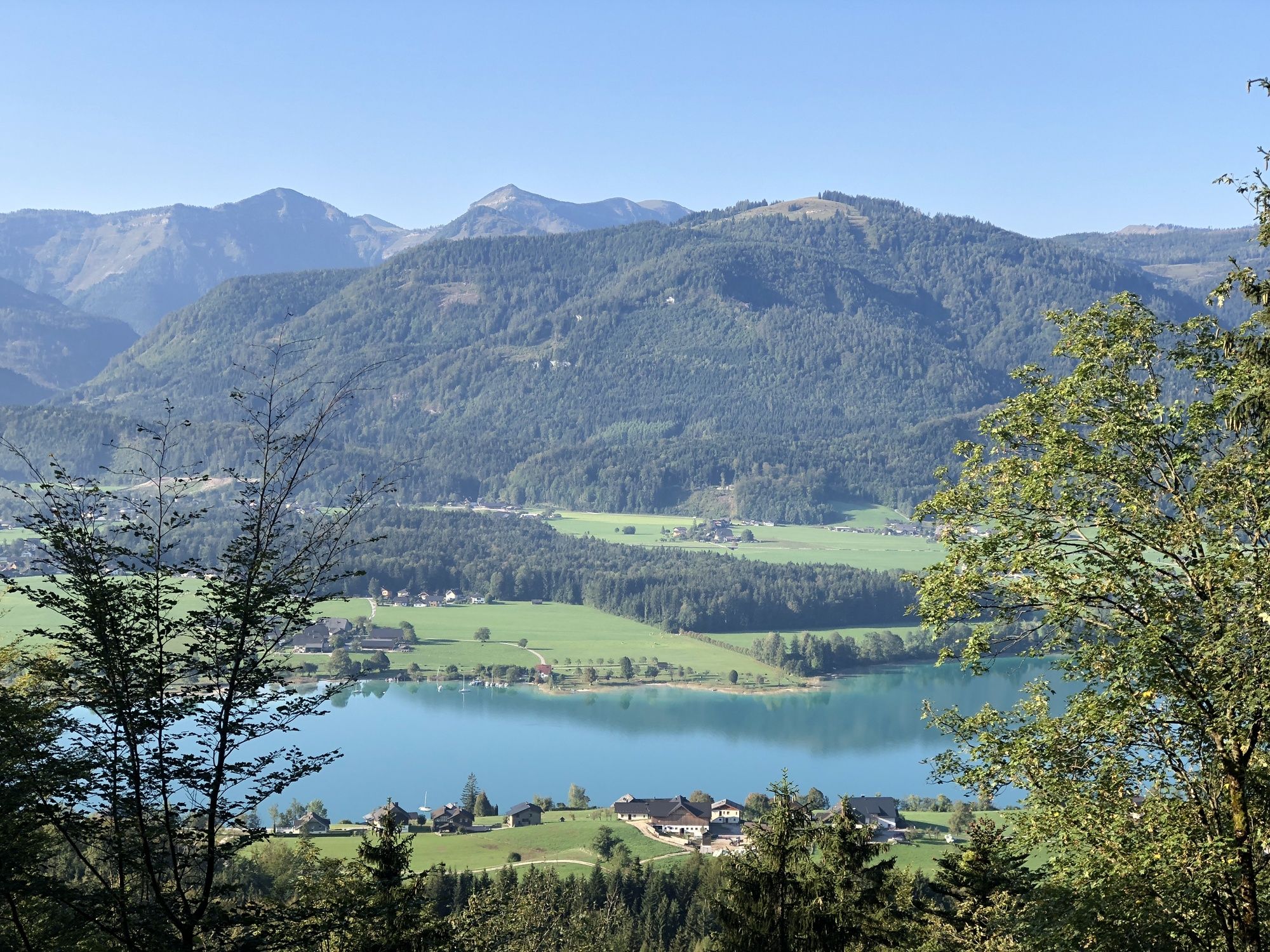
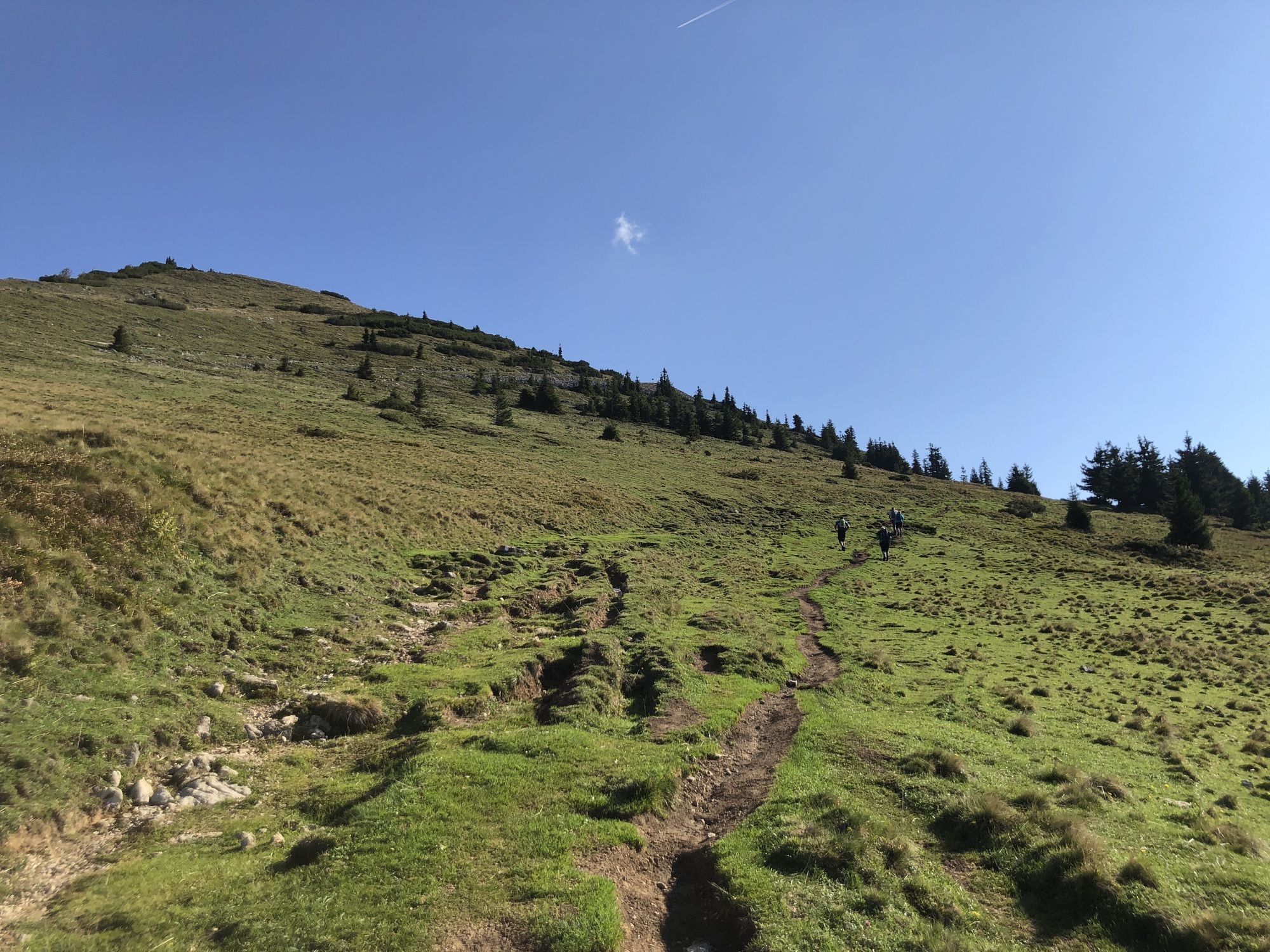
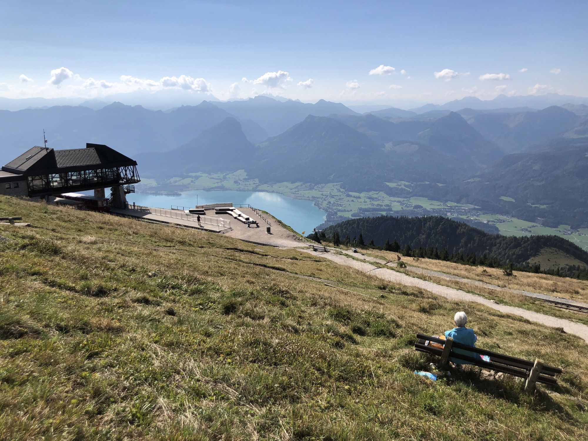
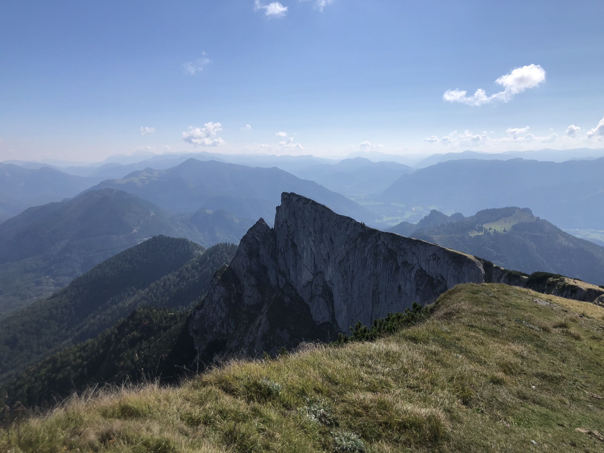
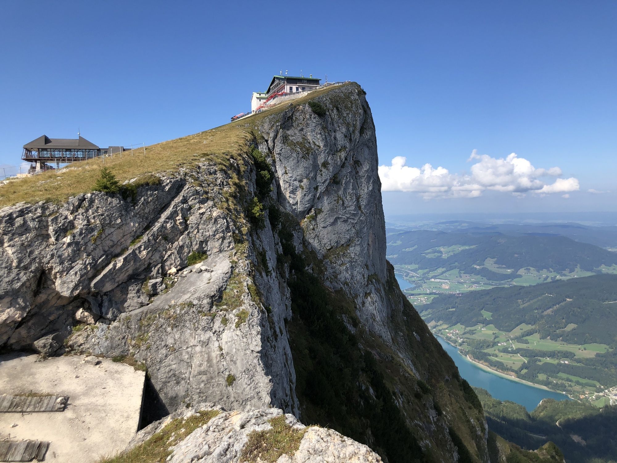
Schafberg von Sankt Wolfgang über die Dorneralm und Schafbergalpe auf die Schafbergspitze

Hiking
Tour data
7.72km
549
- 1,753m
1,211hm
8hm
02:32h
- Brief description
-
mäßig anstrengende Wanderung zur Schafbergspitze
- Difficulty
-
medium
- Rating
-
- Starting point
-
Talstation der Schafbergbahn in St. Wolfgang
- Route
-
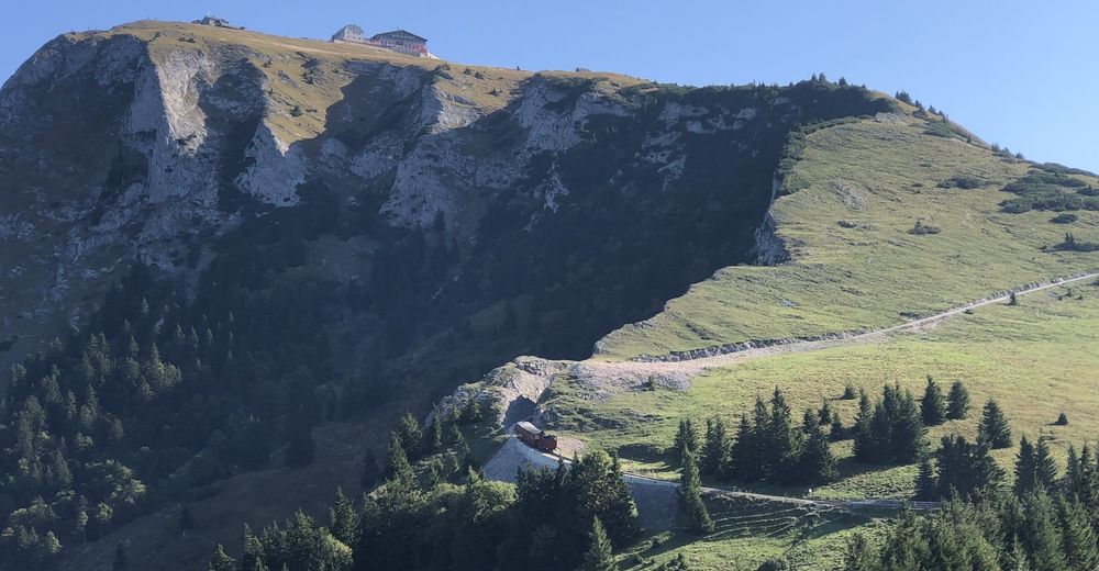
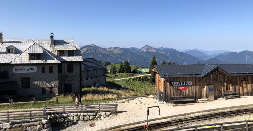
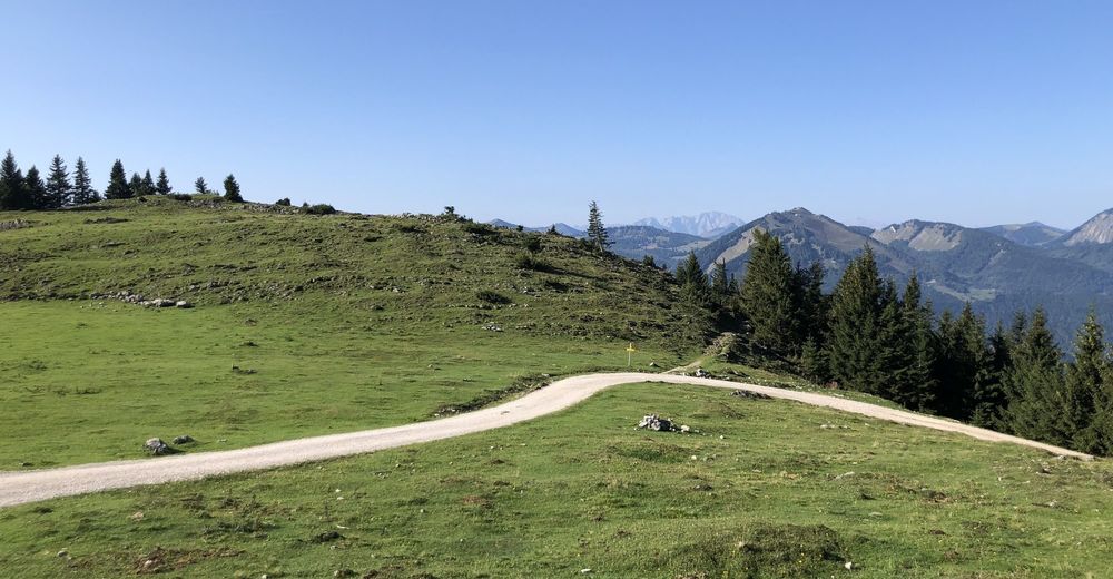
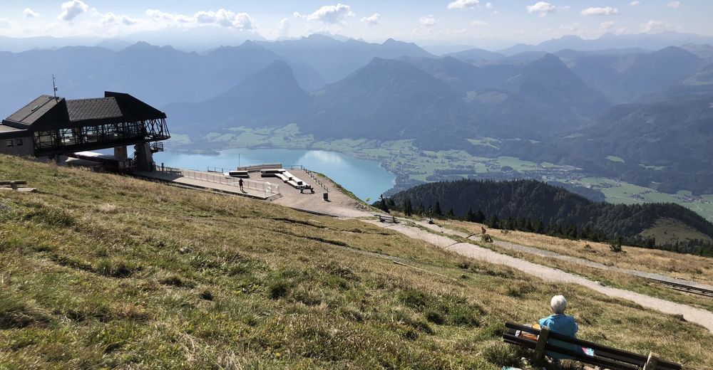
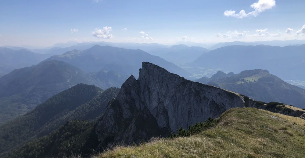
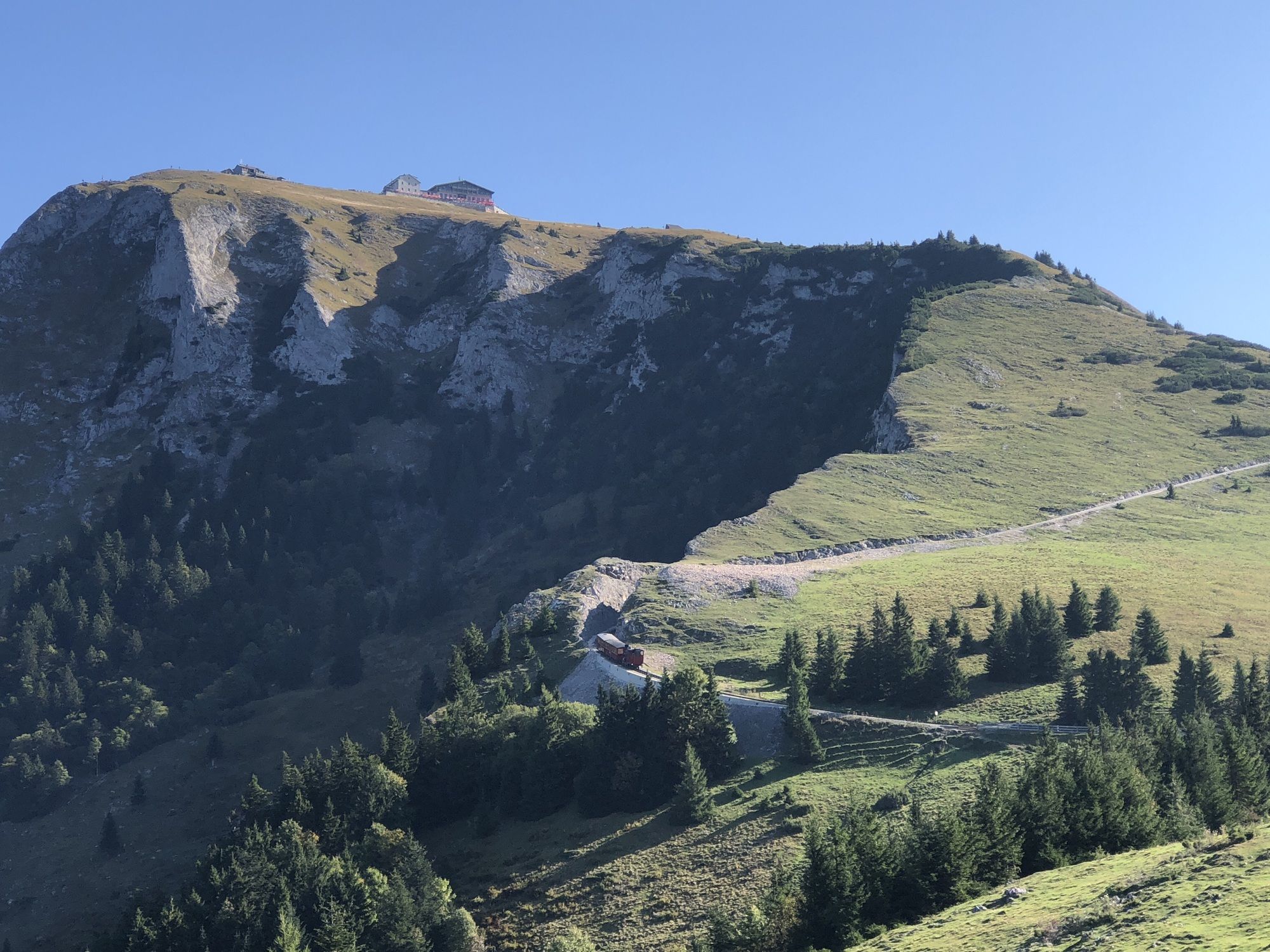
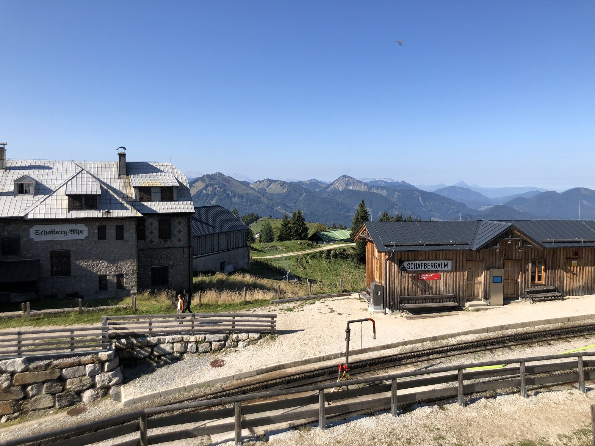
Jausenstation Aschinger1.4 kmGasthof Schafberg Alpe6.0 kmSchafbergalm (1,363 m)6.1 kmSchafbergspitze (1,732 m)7.5 kmSchafbergbahn Bergstation (1,732 m)7.5 kmSchafberg (1,783 m)7.6 km
- Best season
-
JanFebMarAprMayJunJulAugSepOctNovDec
- Highest point
- 1,753 m
- Endpoint
-
Schafbergspitze
- Rest/Retreat
-
div. Berghöfe an der Spitze

All ratings
Sonja Pichler
06. Apr. 2024
Schafberg
GPS Downloads


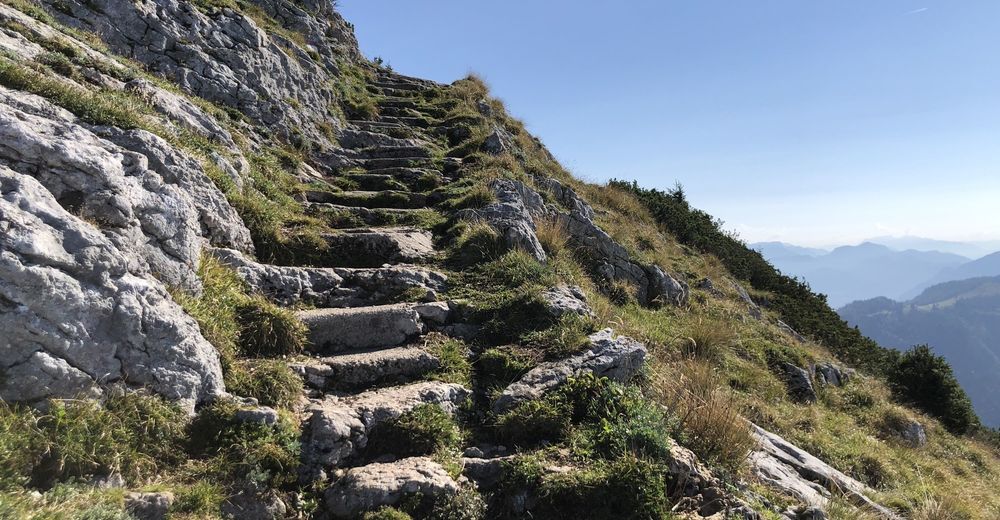
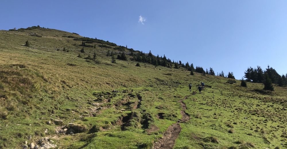
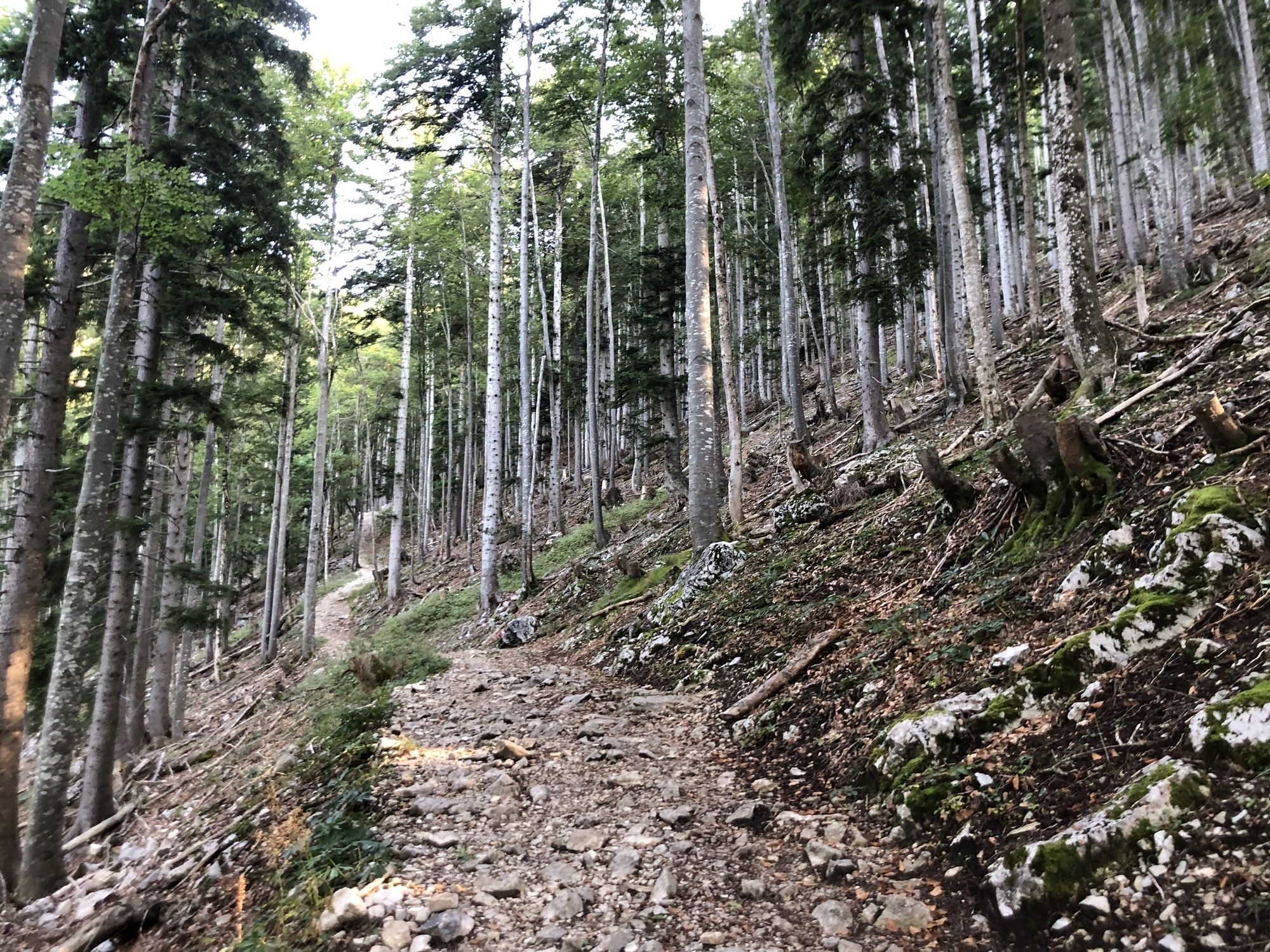
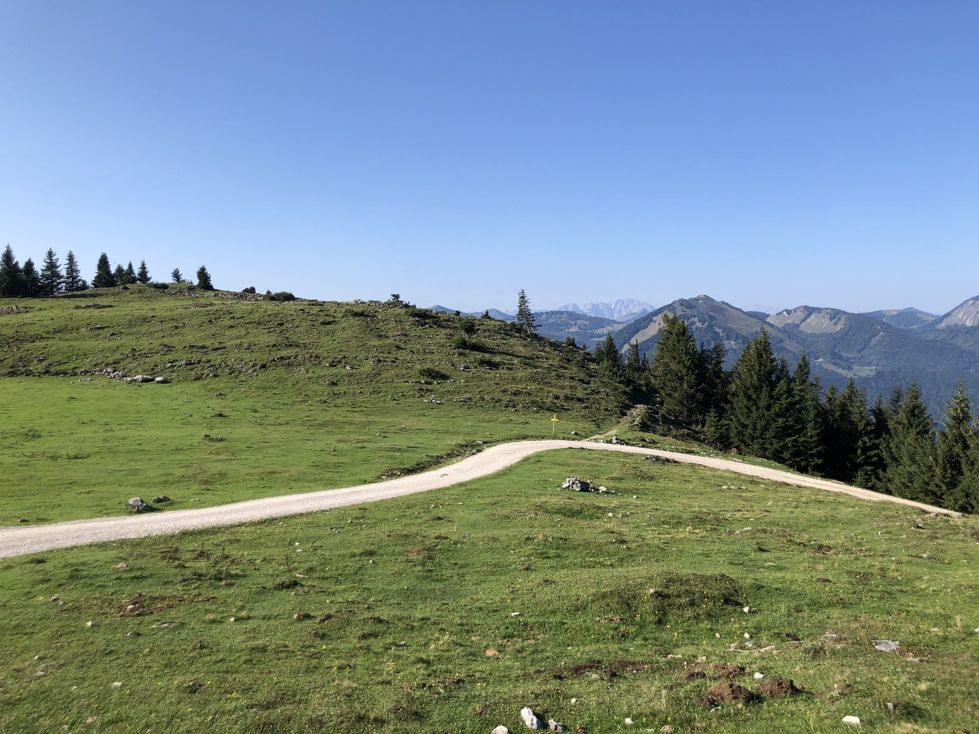
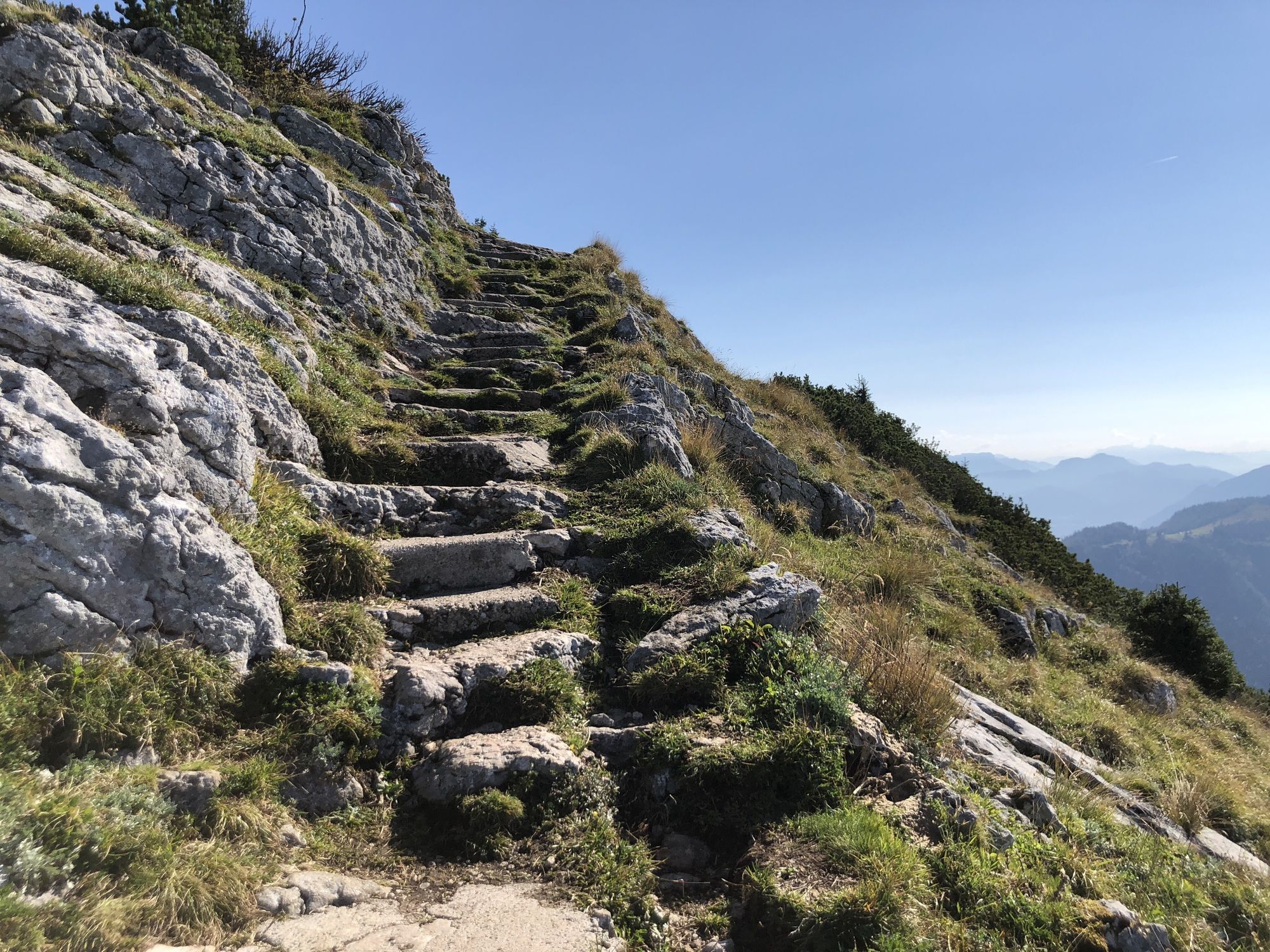
Trail conditions
Asphalt
Gravel
(80%)
Meadow
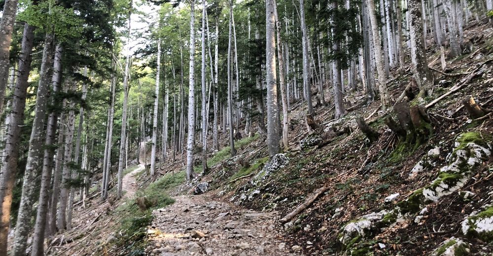
Forest
Rock
(10%)
Exposed
Other tours in the regions