
- Brief description
-
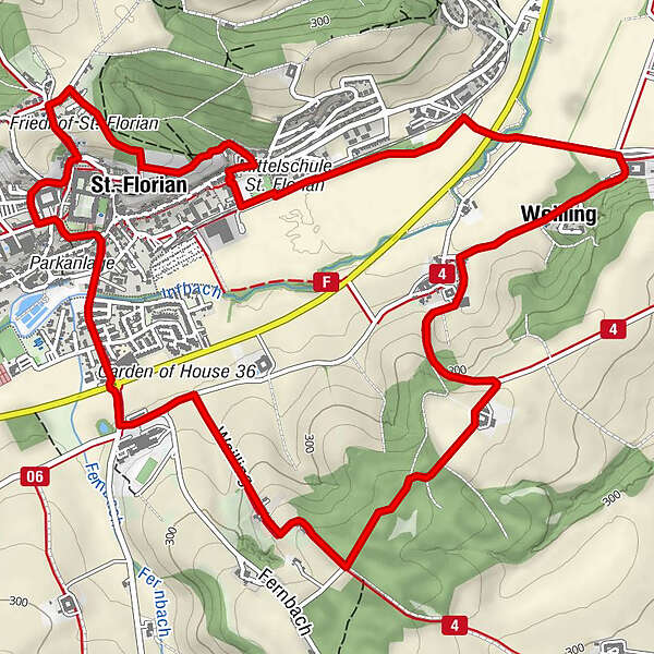
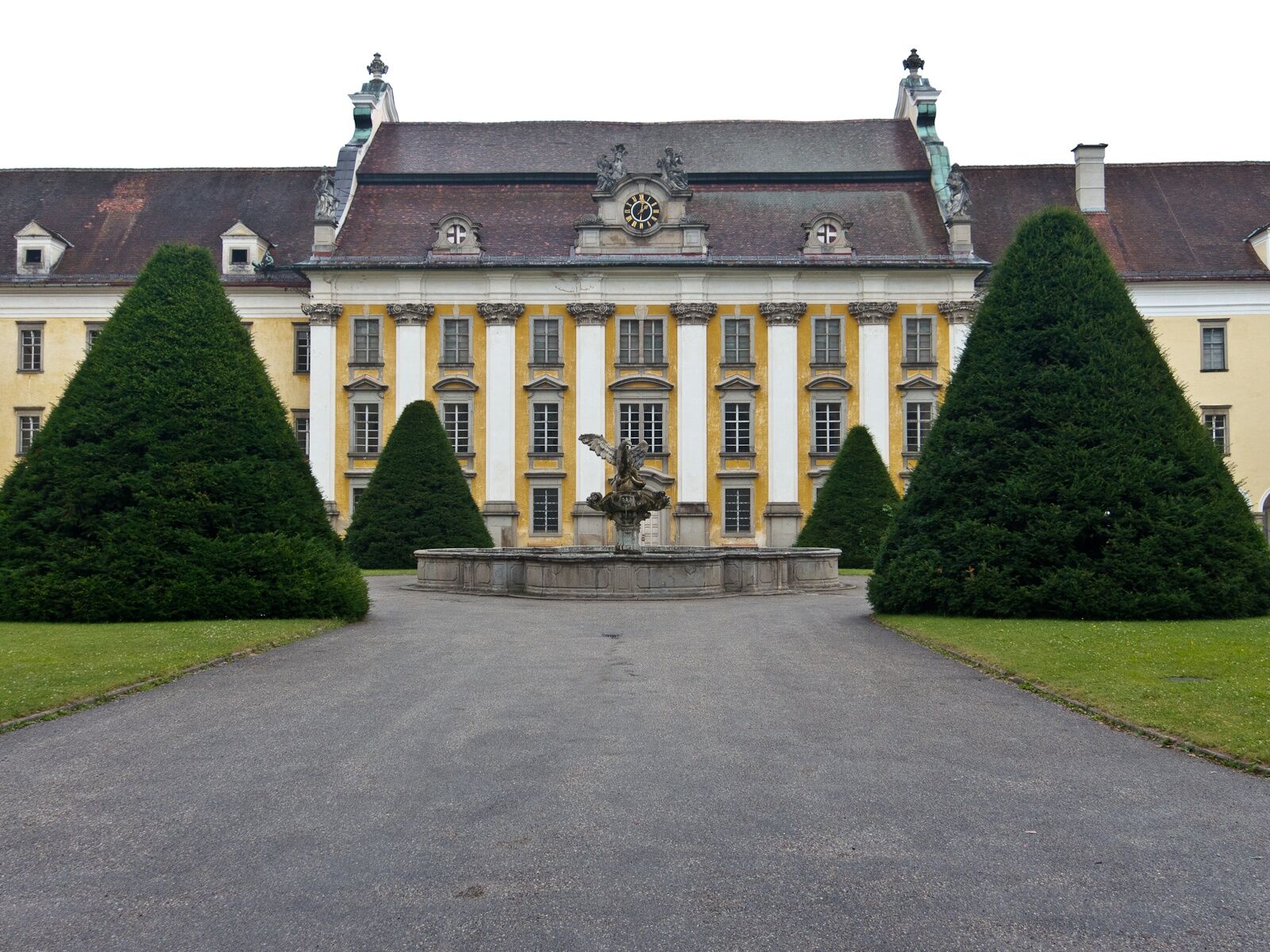
Sumerauerhof - Weilling - Kogl – theme trail - St. Florian – Monastery of St. Florian
- Difficulty
-
easy
- Rating
-
- Starting point
-
St. Florian
- Route
-
Schitteraichet0.3 kmSt. Florian1.0 kmWeilling3.6 kmSt. Florian8.0 km
- Best season
-
JanFebMarAprMayJunJulAugSepOctNovDec
- Description
-
From the starting place in St. Florian we take the road uphill (Am Ölberg) and take a right turn into Wilbirgweg Trail. We take another right turn at the next opportunity and follow the edge of the forest downhill. Down there we take a left turn and follow a walking trail. We keep to the right and having walked through the settlement we get to Wiener Straße road, where we take a right turn. We take another right turn immediately (Floriani spring is at a church a little bit further on. Many people come to fetch water from there). We walk down to the old railway line of Florianibahn and take a left turn. Below the secondary school we walk to the Technological Centre. There we take a right turn, cross the bypass and get to Sumerauerhof Open Air Museum (www.sumerauerhof.at ) after some 500m. There we take a right turn and walk on side roads to the settlement of Weiling where we walk uphill in a large left-hand bend to a farm house. On leaving the forest we take a right hand turn and follow the road downhill. At the houses there we enjoy the best view of St. Florian Monastery. Now we continue down to the Agricultural College and past a roundabout we get to St. Florian. We continue on the road and if we want to we can take a right turn into Marktplatz square. We walk towards the monastrey and pass the car park of the monastery to get back to the starting point.
- Highest point
- 340 m
- Endpoint
-
Oberhalb des Stiftes in der Schlagerstraße
- Height profile
-

- Equipment
-
Sturdy boots
- Additional information
- Directions
- Parking
-
Parking spaces of the monastery at Schaffergarten and at the guesthouses


- Author
-
The tour St. Florian: Mühlsteinweg Trail is used by outdooractive.com provided.


General info
-
Mühlviertel
1791
-
Linz & Region Linz
842
-
St. Florian
158