

- Brief description
-
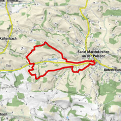
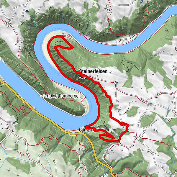
Schlögen - Inzell - Steiner Felsen vantage point - Rotes Kreuz - Schlögener Blick vantage point – Schlögen
- Difficulty
-
medium
- Rating
-
- Starting point
-
Haibach / Schlögen
- Route
-
SchlögenSchlögener Blick1.3 kmSchlögenleiten1.9 kmLinetshub2.9 kmDonaublick Au3.5 kmSteiner Felsen5.4 kmSteinerfelsen (543 m)5.4 kmInzell7.3 kmSchlögen11.1 km
- Best season
-
JanFebMarAprMayJunJulAugSepOctNovDec
- Description
-
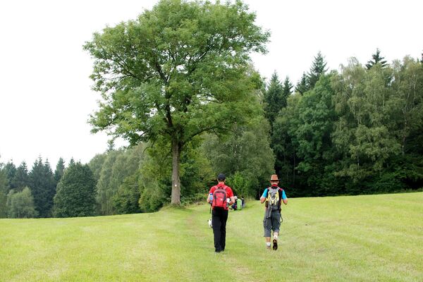
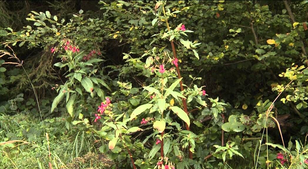
We hike along the approx. 10.5km-long CICONIA trail that features numerous stations and sculptures that tell about the unique landscape there.
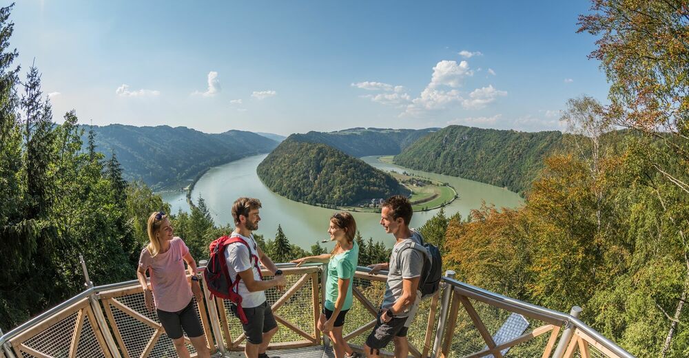
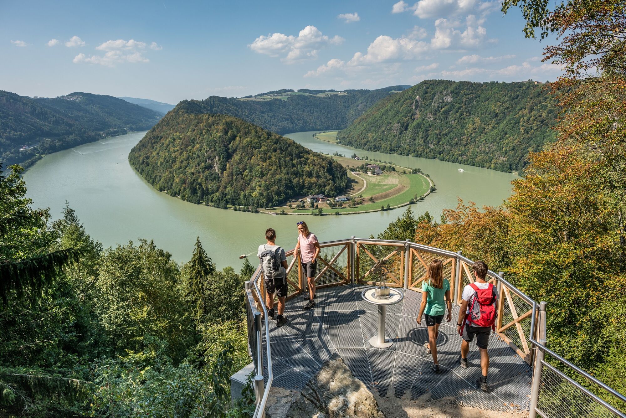
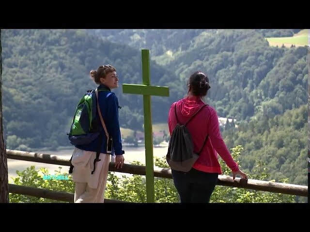
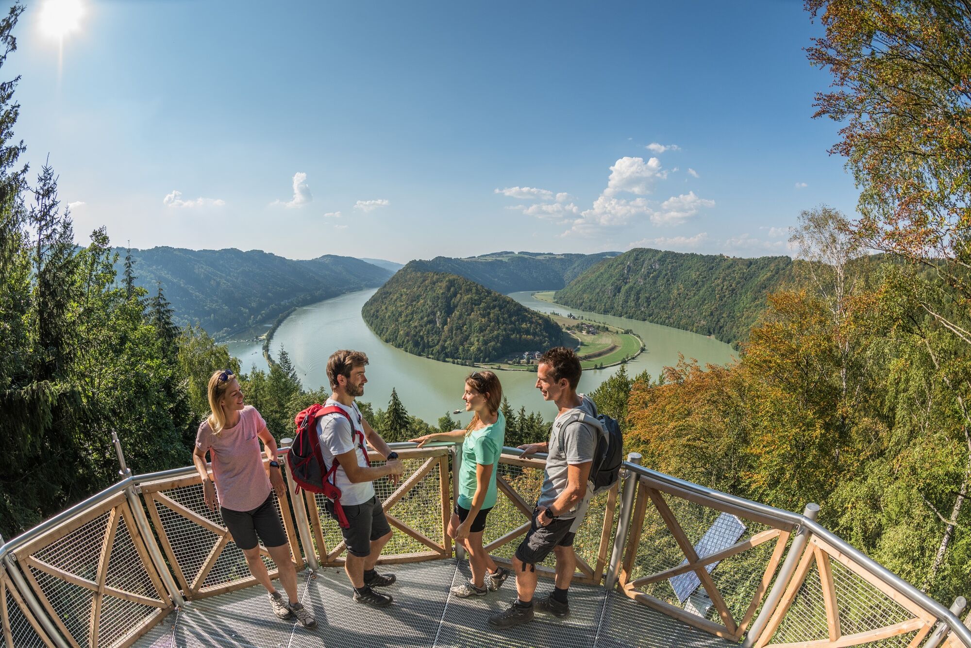
Schlögen . Near the hotel complex is a excavation site datig back to the Romans (excavated west gate of the Ioviacum settlement that has been chartered around 440 A.D.). Our hike continues downstream the Danube along the Inzell carriage way to the village of of the same name, Inzell. There is the St. Nikolaus church that has been put under a protection order. We leave the carriage way just before it makes a left turn towards the Danube and take a right turn into the hiking trail. From there we continue along the Danauleiten uphill to the known “Steiner Felsen” vantage point. We follow the singposted hiking trail no. 55 through the wood-covered Donauleiten hills and get to the “Au” vantage point. From there we enjoy a nice view of the Danube loop. We follow the hiking trail and get to “Wohlfartner” farm. After some 500m we take a right turn into the marked hiking trail that leads into the forest (Rotes Kreuz) and to “Schlögener Blick” vantage point from where we enjoy a fantastic view of the well-known Danube loop. You can enjoy this fantastic view also from the livecam at http://www.oberoesterreich.at/haibach . From there we hike back to Schlögen.
- Highest point
- 522 m
- Endpoint
-
Schlögen
- Height profile
-

- Additional information
- Directions
-
By car: Westautobahn, “Linz” or “Wels” exit, towards Eferding, on the B130 towards Passau
By train: Linz or Wels main station, continue by bus towards Eferding – Haibach or Passau main station, by bus towards Linz
By plane: Linz/Hörsching airport
By boat: Schlögen boat landing stage
- Author
-
The tour Haibach: CICONIA-Loop Trail is used by outdooractive.com provided.


General info
-
Hausruckviertel
1487
-
Vitalwelt Bad Schallerbach
374
-
Niederkappel
203