© WGD Donau Oberösterreich Tourismus GmbH/Andreas Kranzmayr - Andreas Kranzmayr

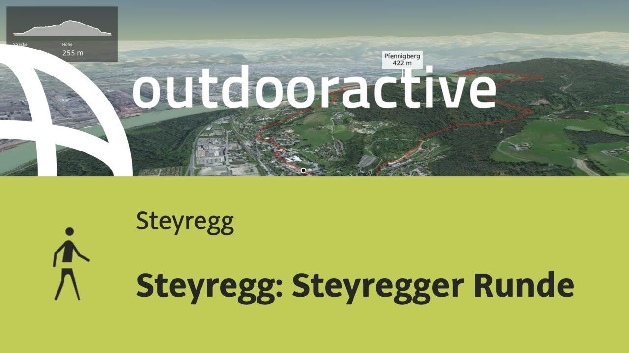
© Outdooractive – 3D Videos
© WGD Donau Oberösterreich Tourismus GmbH/Weissenbrunner - Weissenbrunner
© WGD Donau Oberösterreich Tourismus GmbH/Andreas Kranzmayr - Andreas Kranzmayr

- Brief description
-
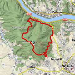
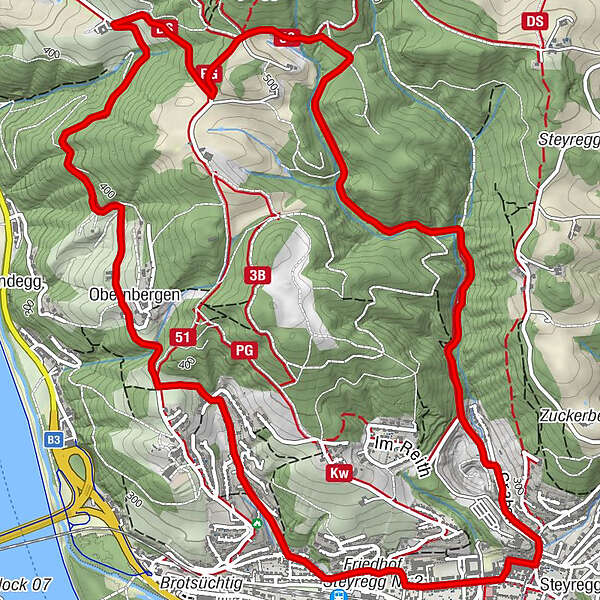
Obernbergen - Stoettner - Finstergraben - Steyregg
- Difficulty
-
medium
- Rating
-
- Starting point
-
Steyregg
- Route
-
Gasthaus WeissenwolffSteyregg (259 m)Sankt Stefan0.5 kmObernbergen2.4 kmStadtwirt8.4 kmGasthaus Weissenwolff8.5 kmSteyregg (259 m)8.6 km
- Best season
-
JanFebMarAprMayJunJulAugSepOctNovDec
- Description
-
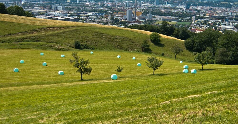
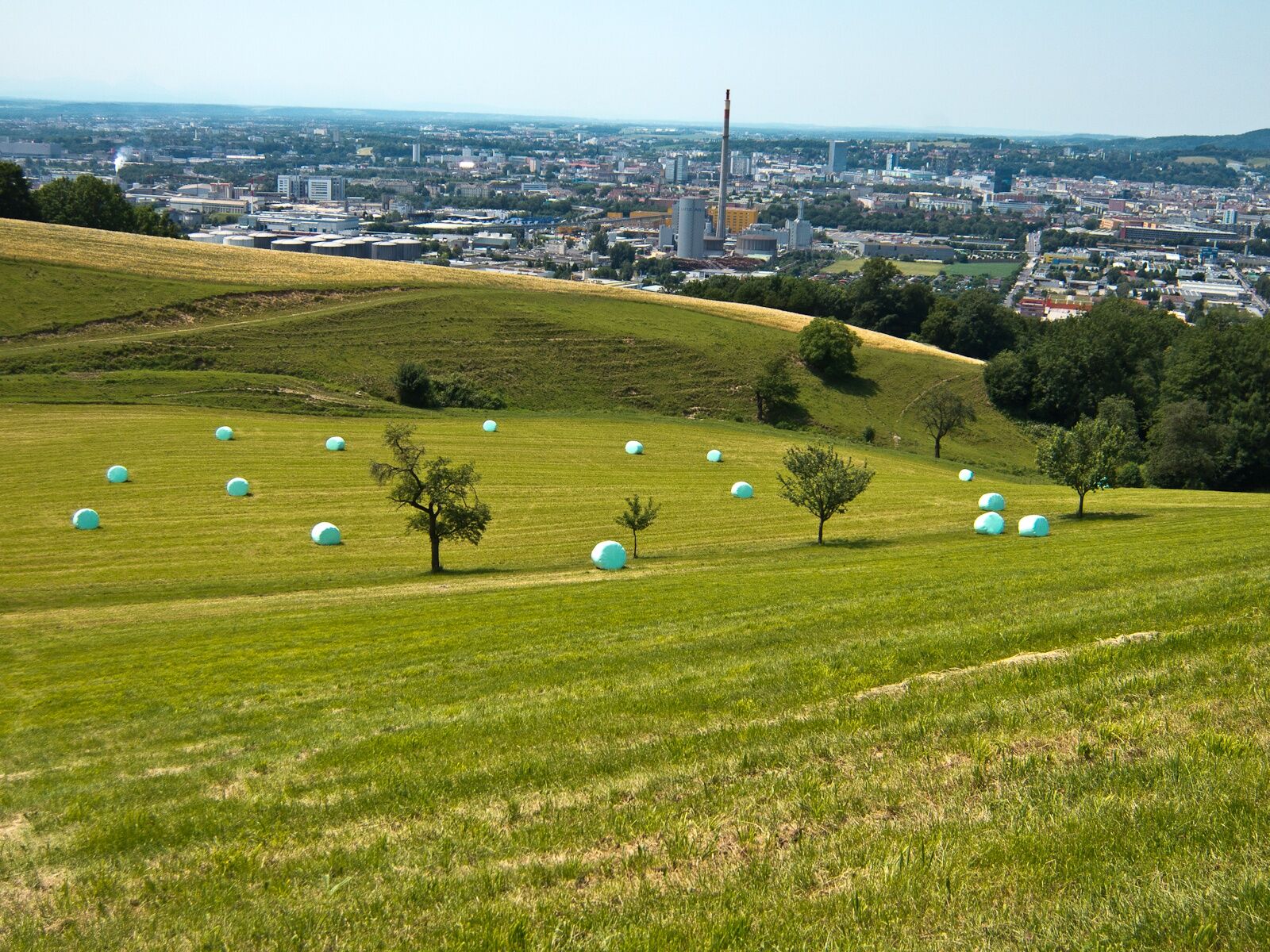
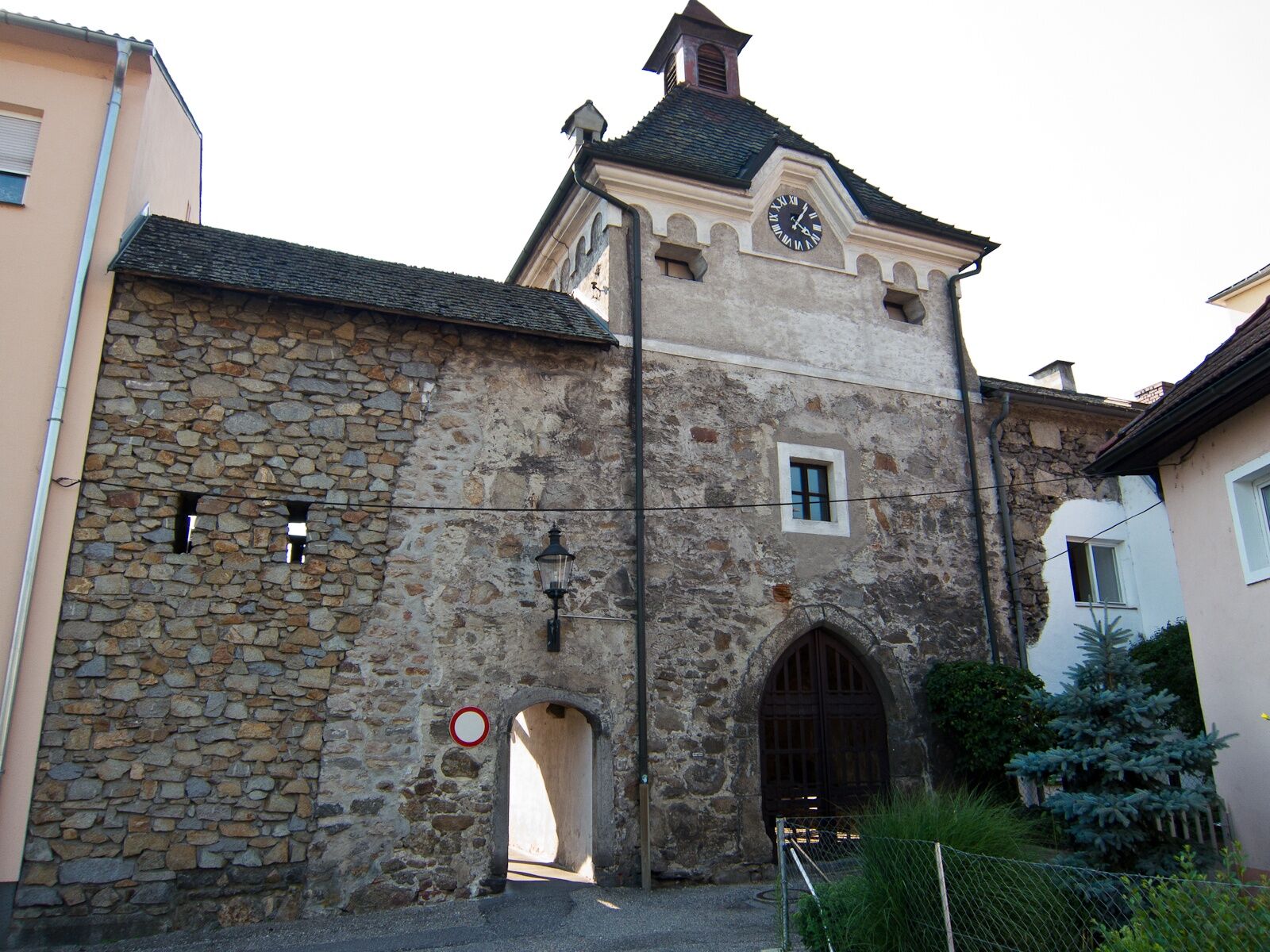
The starting place is in Steyregg (meadow at the tennis court or children playground resp. on Mauthausener Straße road). We hike westwards on Weißenwolfstraße road. At the end of the road we turn into Kirchengasse road. We leave Steyregg and head uphill to Pfenningberg. At a farm we take a right turn and follow Donausteig Trail. At a junction we head downhill through the forest towards Finstergrabenbach and hike past a quarry back to Steyregg.
- Highest point
- 509 m
- Endpoint
-
Wiese beim Tennisplatz bzw. Kinderspielplatz an der Mauthausener Straße, Steyregg
- Height profile
-

- Additional information
- Directions
- Public transportation
- Parking
-
Centre of Steyregg and directly at the starting place
- Author
-
The tour Steyregg: Steyregg Loop Trail is used by outdooractive.com provided.
GPS Downloads


General info
Refreshment stop
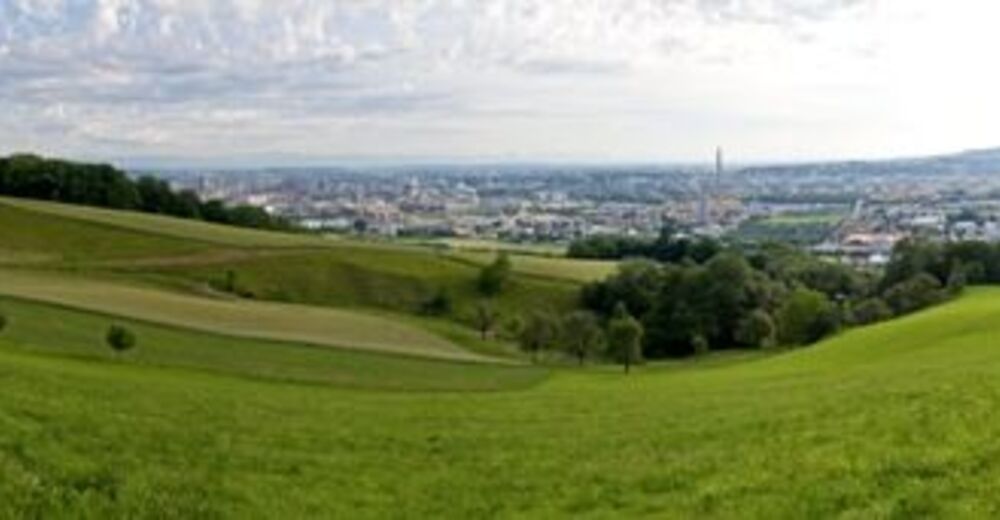
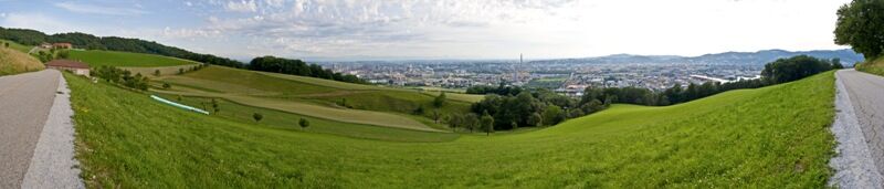
A lot of view
Other tours in the regions
-
Mühlviertel
1781
-
Linz & Region Linz
842
-
Steyregg
317