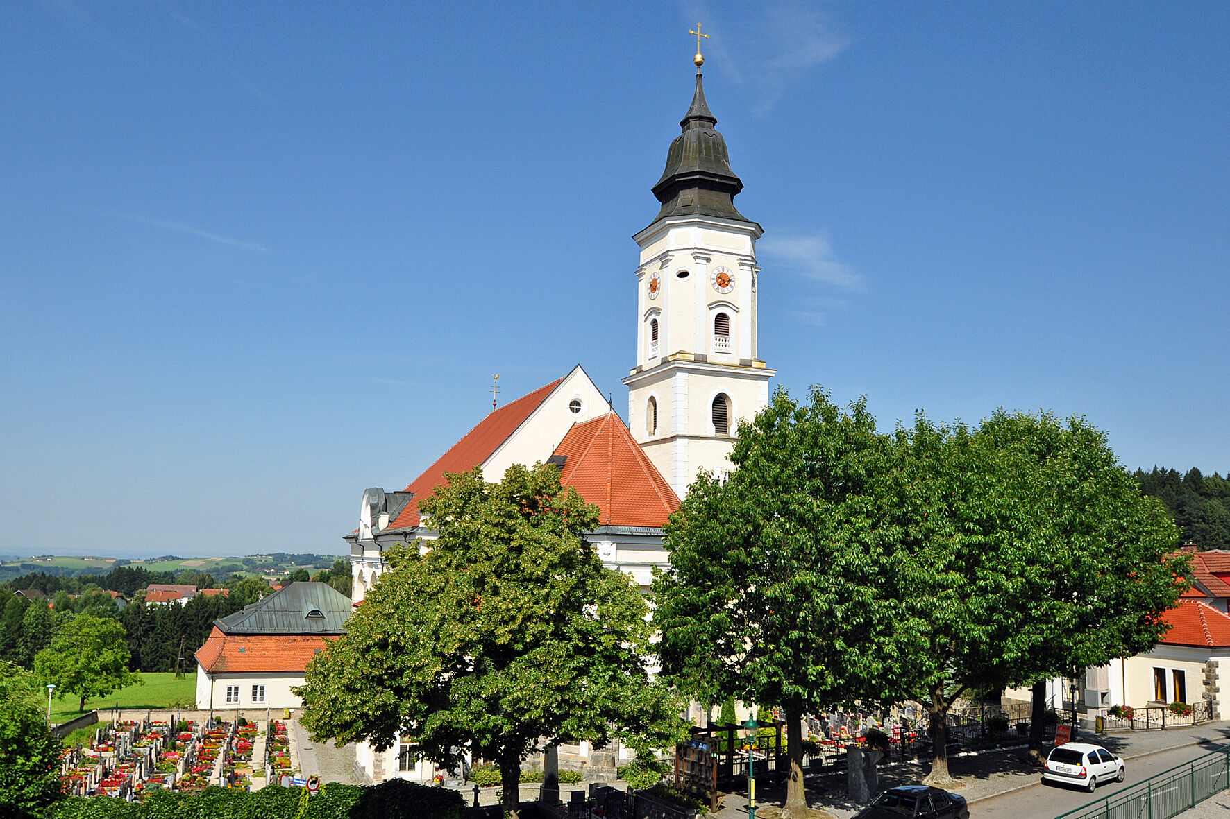
© Marktgemeinde Kopfing im Innkreis

© Marktgemeinde Kopfing im Innkreis

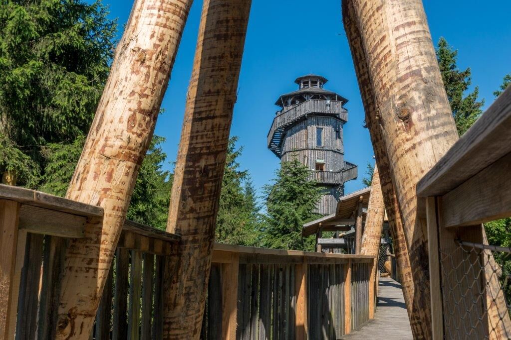
© Baumkronenweg GmbH

- Brief description
-
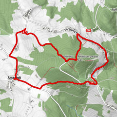
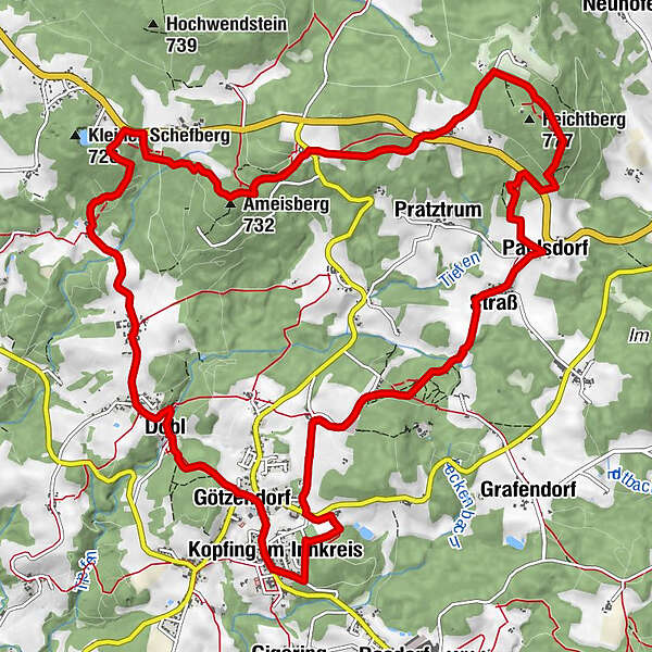
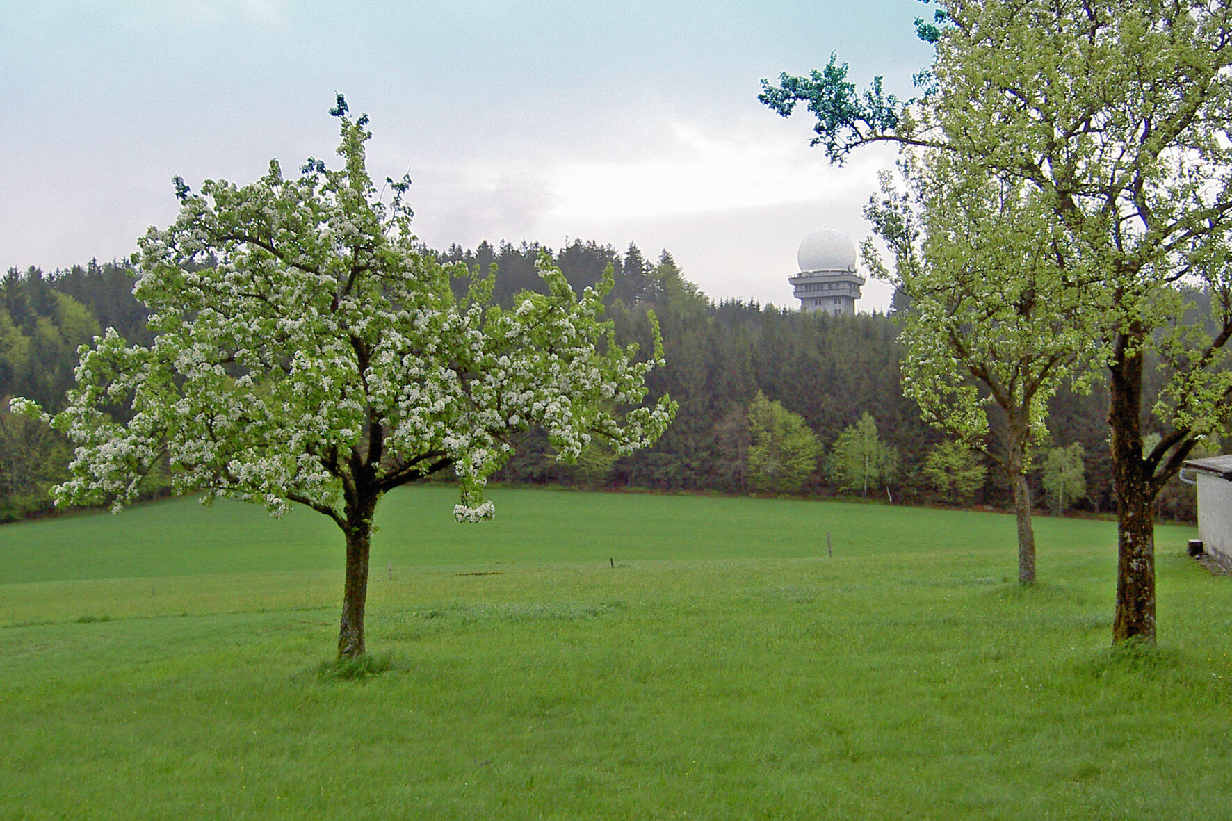
Kopfing Ortszentrum - Gelände Baumkronenweg - Feichtberg - Ameisberg mit Hochholzstein - Steinbruch Ach - Neukirchendorf - Dobl - Götzenberg - Kopfing Ortszentrum
- Difficulty
-
medium
- Rating
-
- Route
-
Knechtelsdorf0.3 kmStraß2.3 kmPaulsdorf (659 m)2.8 kmHötzenedt5.1 kmKahlberg5.9 kmGroßfasching7.0 kmAmeisberg (732 m)7.9 kmStein10.1 kmNeukirchendorf11.2 kmRuholding11.7 kmDobl12.2 kmGötzendorf13.1 kmWirt z' Götzendorf13.2 kmKirchenwirt Kopfing13.7 kmKopfing im Innkreis (547 m)13.7 kmGasthof zur Post13.8 km
- Best season
-
JanFebMarAprMayJunJulAugSepOctNovDec
- Highest point
- 752 m
- Endpoint
-
Ortszentrum Kopfing
- Height profile
-

- Author
-
The tour Kopfing: Blick ins Land Nr. 3 is used by outdooractive.com provided.
GPS Downloads


General info
Refreshment stop
Cultural/Historical
A lot of view
Other tours in the regions
-
Innviertel
797
-
Kopfing im Innkreis
118