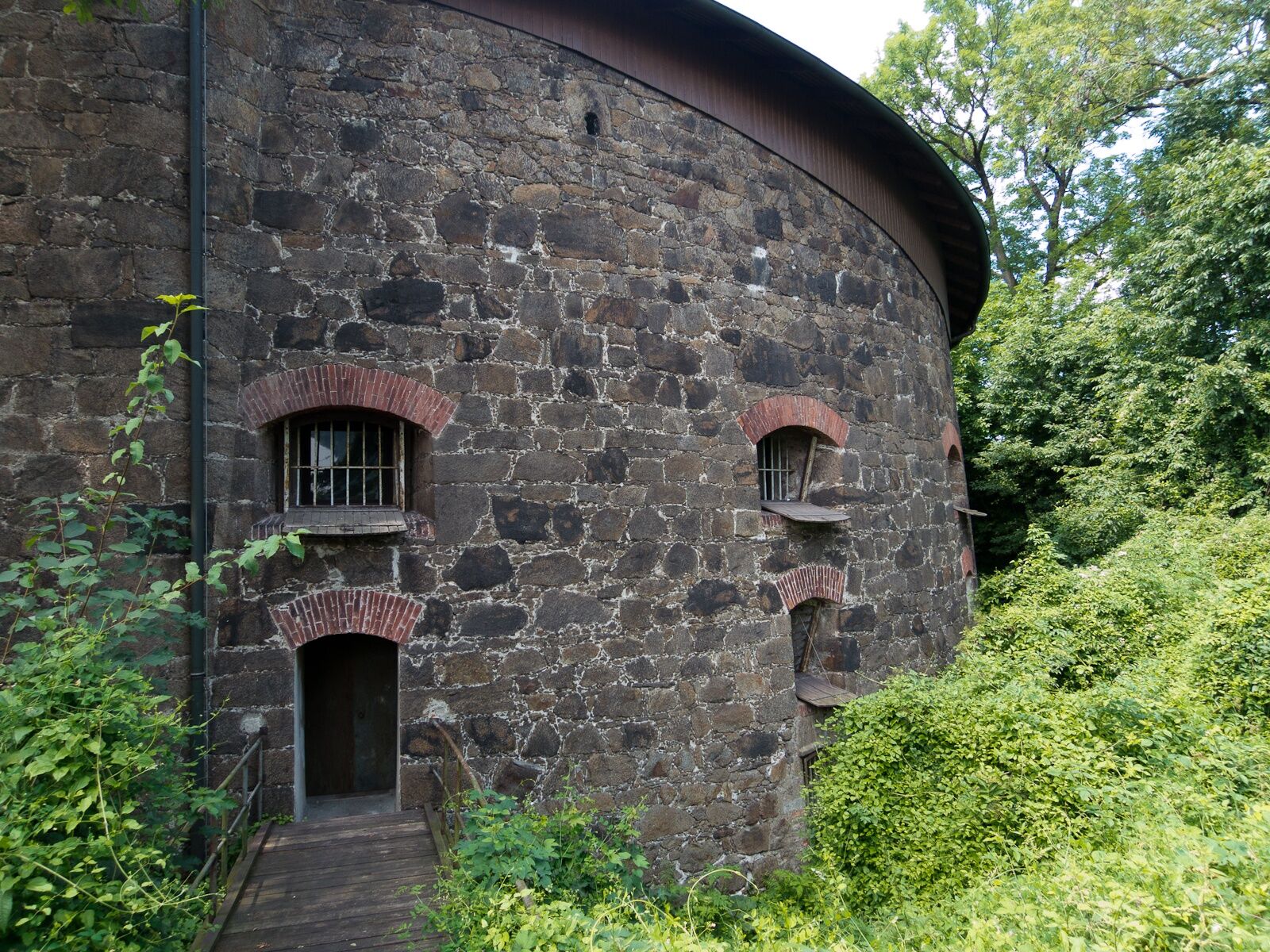
© WGD Donau Oberösterreich Tourismus GmbH/Andreas Kranzmayr - Andreas Kranzmayr

© WGD Donau Oberösterreich Tourismus GmbH/Andreas Kranzmayr - Andreas Kranzmayr

- Brief description
-
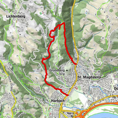
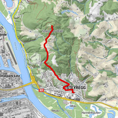
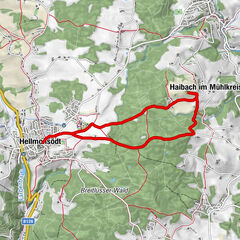
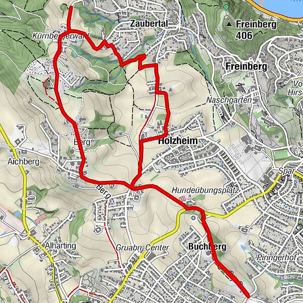
Turmlinie - Turm 9 - Stadtmuseum Leonding - Turm 12 'Agnes' - Turm 13 'Genoveva' - Painherrnhof
- Difficulty
-
easy
- Rating
-
- Route
-
Gaumberg0.0 kmDie Buschenschank0.1 kmBuchberg0.3 kmNiederberger1.8 kmHolzheim2.1 kmLinz (266 m)2.8 kmFriesenegg4.5 kmMostbauer Rathwieser5.2 kmBerg5.4 kmMostbauer Familie Eichhorn5.7 kmBuchberg7.2 kmDie Buschenschank7.4 km
- Best season
-
JanFebMarAprMayJunJulAugSepOctNovDec
- Highest point
- 398 m
- Endpoint
-
Turm 9 - Stadtmuseum Leonding
- Height profile
-


- Author
-
The tour Leonding: Turmwanderung is used by outdooractive.com provided.
GPS Downloads


General info
Refreshment stop
Cultural/Historical
A lot of view
Other tours in the regions
-
Mühlviertel
1784
-
Linz & Region Linz
847
-
Leonding
299