
- Brief description
-
Easy family-friendly hike
- Difficulty
-
easy
- Rating
-
- Starting point
-
Kopfing town centre
- Route
-
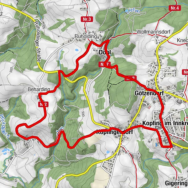
Gasthof zur Post0.0 kmKopfing im Innkreis (547 m)0.1 kmKirchenwirt Kopfing0.1 kmWirt z' Götzendorf0.4 kmGötzendorf0.6 kmDobl1.6 kmRuholding2.1 kmBeharding3.4 kmKopfingerdorf6.0 kmGötzendorf6.3 kmGasthof zur Post7.0 kmKopfing im Innkreis (547 m)7.1 km
- Best season
-
JanFebMarAprMayJunJulAugSepOctNovDec
- Description
-
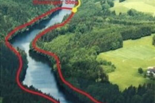
From the town centre across Götzenberg you'll hike into the hamlet of Dobl past the first Kopfing "industrial area" - the mighty Tiefenbach stream supplied the required energy for sawmill, mills, bakery and smithy. On the way from Ruholding to Beharding, a bench with wonderful views of the Alpine foothills beckons to enjoy a break. In leithen you'llfind the entrance to the wild and romantic gorge of Tiefenbach stream to the Lichthäusl. This was once the site of the first Kopfing power station - moss-covered remains of the former dam wall can still be seen. Climb through the high forest back to the town centre.
- Highest point
- 572 m
- Endpoint
-
Kopfing town centre
- Height profile
-

- Directions
-
From Vienna - A1 - A25 - exit Wels-Nord - right on B137 Innviertler Straße - right on B134 Walerner Straße - left on L1221 Daxberg Bezirksstraße - left on B129 Eferdinger Straße - right on L517 Kessle Landesstraße to Natternbach then left on Kopfinger Bezirksstraße to Kopfing im Innkreis
From Linz - B127 Rohrbacher Straße - left on B131 Aschacher Straße - right on B130 Nibelungen Straße - in Engelhartszell left on B136 Sauwald Straße - left on L1139 to Kopfing
- Public transportation
- Parking
-
In the centre of Kopfing

- Author
-
The tour Lichthäusl is used by outdooractive.com provided.


General info
-
Innviertel
858
-
Kopfing im Innkreis
160