


- Brief description
-
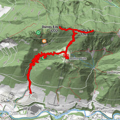
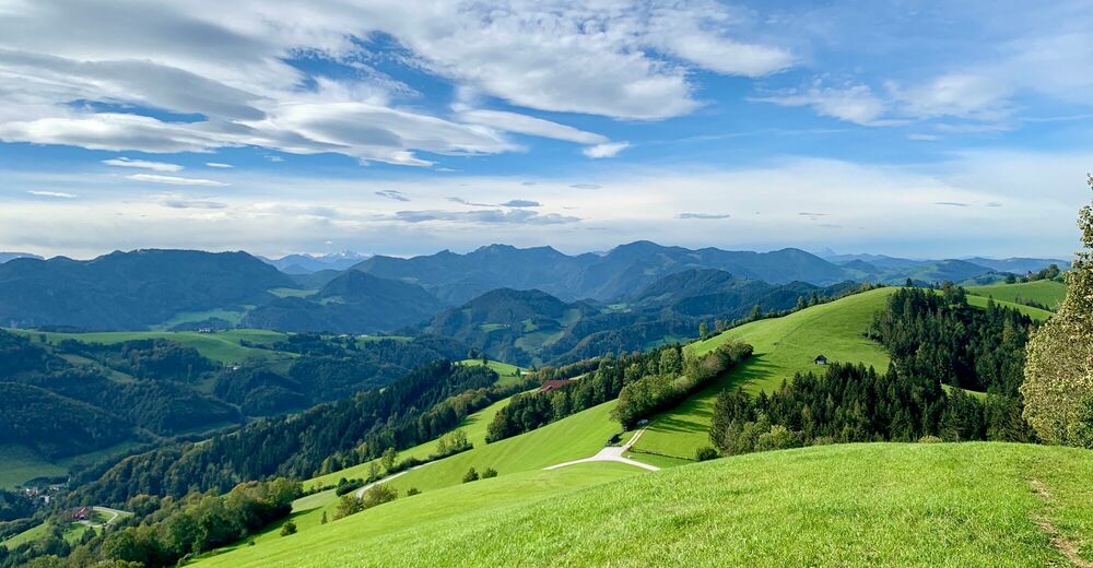
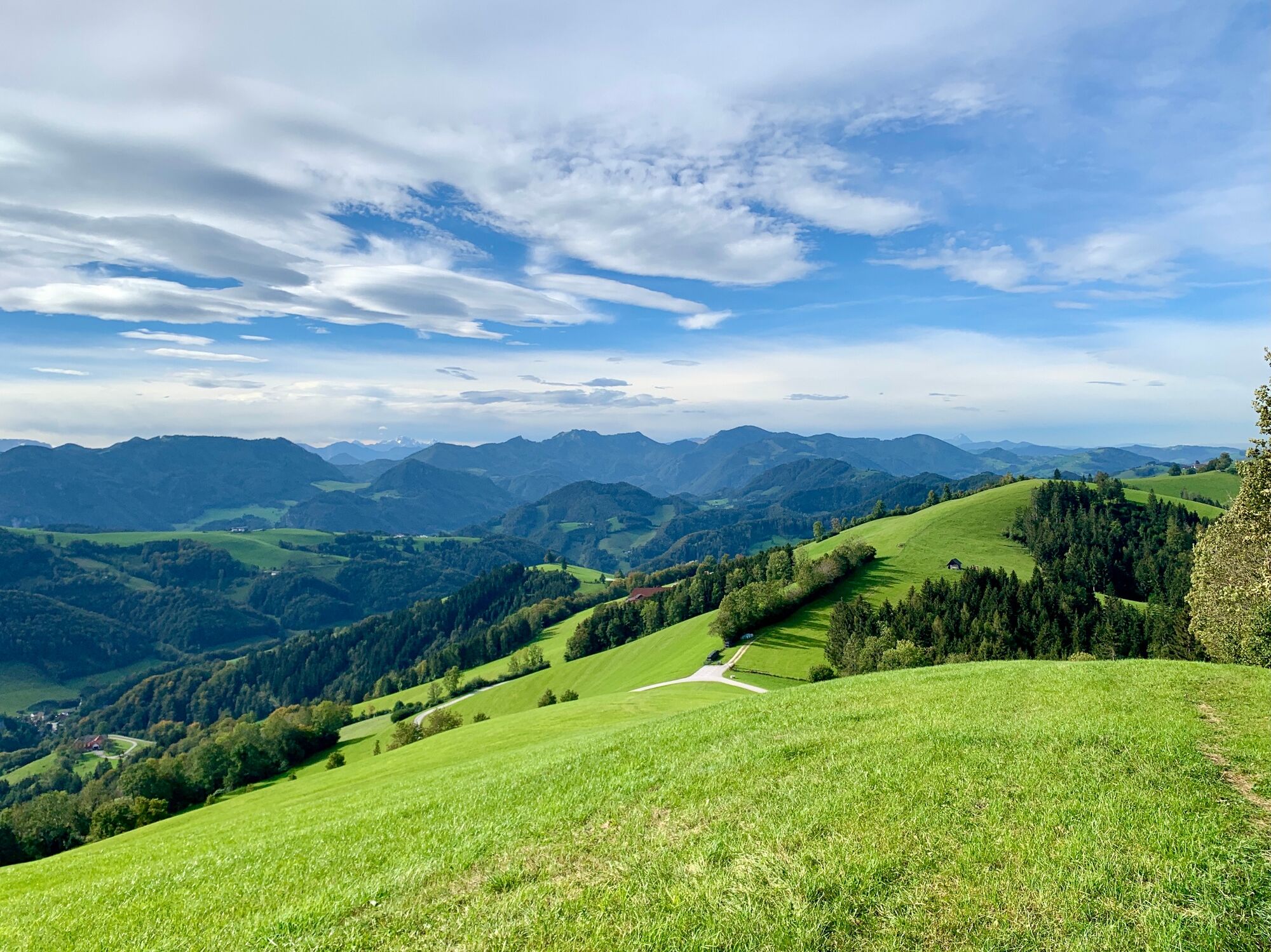
Indescribable views below the Sonnberg mountain
- Difficulty
-
medium
- Rating
-
- Starting point
-
Laussa town square
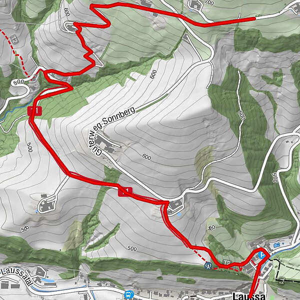
- Route
-
Kirche LaussaLaussaGasthaus zum Geiger0.3 km
- Best season
-
JanFebMarAprMayJunJulAugSepOctNovDec
- Description
-
The Sonnberg in Laussa is a ridge with a great view. The nature bench is beautifully located on the Sonnbergstraße.
- Directions
-
The tour starts from the village centre and leads north on the Stoderstraße. Before the swimming pool we turn left, where after the settlement entrance a path leads to the Schneiderweg holiday farm. From there we hike up the road to the Camp Sibley climbing centre. Continue up to Lerz and from there in a few bends to the intersection of Güterweg Sonnberg and Sonnbergstraße. Immediately after the car park for the Sonnbergrunde, we come to the Wielleitenkappelle chapel with the naur.bench in front of it.Translated with www.DeepL.com/Translator (free version)
- Highest point
- 685 m
- Endpoint
-
nature.bench.path Wielleiten Chapel
- Height profile
-

- Tips
-
From the car park directly in front of the Wielleitenkapelle, you can take the Sonnbergrunde - a beautiful panoramic hike on grassy ridges with magnificent views.
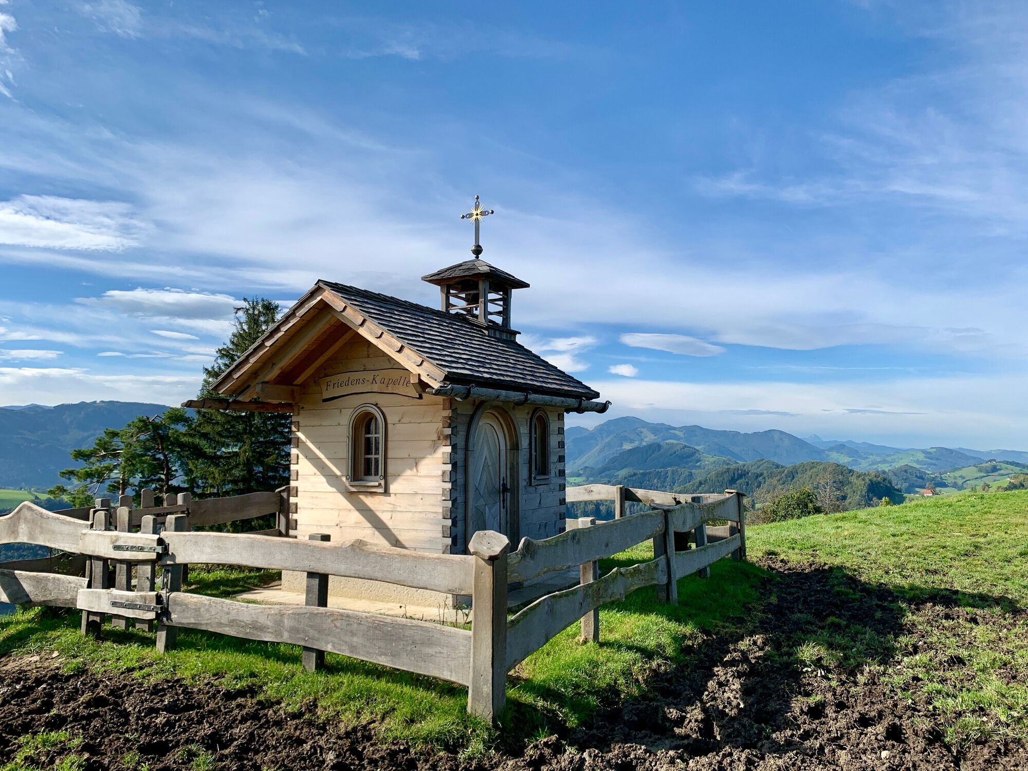
It is also worth just the steep climb to the Friedenskapelle (Chapel of Peace), a jewel made of wood that was newly erected in 2018.
- Additional information
- Directions
-
By car:
From the west: A1 motorway exit Enns-Steyr > B115 into the Ennstal valley.
From the east: A1 motorway exit Amstetten West > Waidhofen / Ybbs > Weyer
From the south: A9 Pyhrnautobahn > Klaus > Grünburg > Ennstal
- Parking
-
Local centre Laussa


-

-
AuthorThe tour natur.BANK.wege | Laussa | Wielleitenkapelle | 446103 is used by outdooractive.com provided.


-
Traunviertel
1939
-
Steyr und die Nationalpark Region
1369
-
Laussa
348